The best running trails around Peramola
5.0
(4)
123
runners
20
runs
Jogging around Peramola offers diverse terrain within the Catalan Pre-Pyrenees, featuring agricultural plains along the Segre river and mountainous areas with conglomerate rock formations. The region's topography includes pine forests, holm oak groves, and rocky habitats, providing varied running experiences. This blend of accessible plains and rugged mountainous terrain makes it a destination for runners seeking both physical challenge and scenic routes.
Best jogging routes around Peramola
- The most popular jogging route is Els Gegants de Coll Piquer – Roc…
Last updated: June 28, 2026
32
runners
9.10km
01:14
290m
290m
Moderate run. Good fitness required. Mostly paved surfaces. Suitable for all skill levels.
12
runners
19.8km
03:21
1,070m
1,070m
Hard run. Very good fitness required. Sure-footedness, sturdy shoes and alpine experience required.

Sign up for free
12
runners
5.78km
00:38
110m
110m
Moderate run. Good fitness required. Mostly paved surfaces. Suitable for all skill levels.
7
runners
16.7km
02:36
870m
870m
Hard run. Very good fitness required. Mostly paved surfaces. Suitable for all skill levels.
8
runners
10.8km
01:15
300m
300m
Hard run. Very good fitness required. Mostly paved surfaces. Suitable for all skill levels.
Get access to more routes and recommendations from other explorers.
Sign up for free
Already have an account?
Our route recommendations are based on thousands of hikes, rides, and runs completed by other people on komoot.
Start today with a free account
Your next adventure awaits.
Login or Signup
Tips from the Community

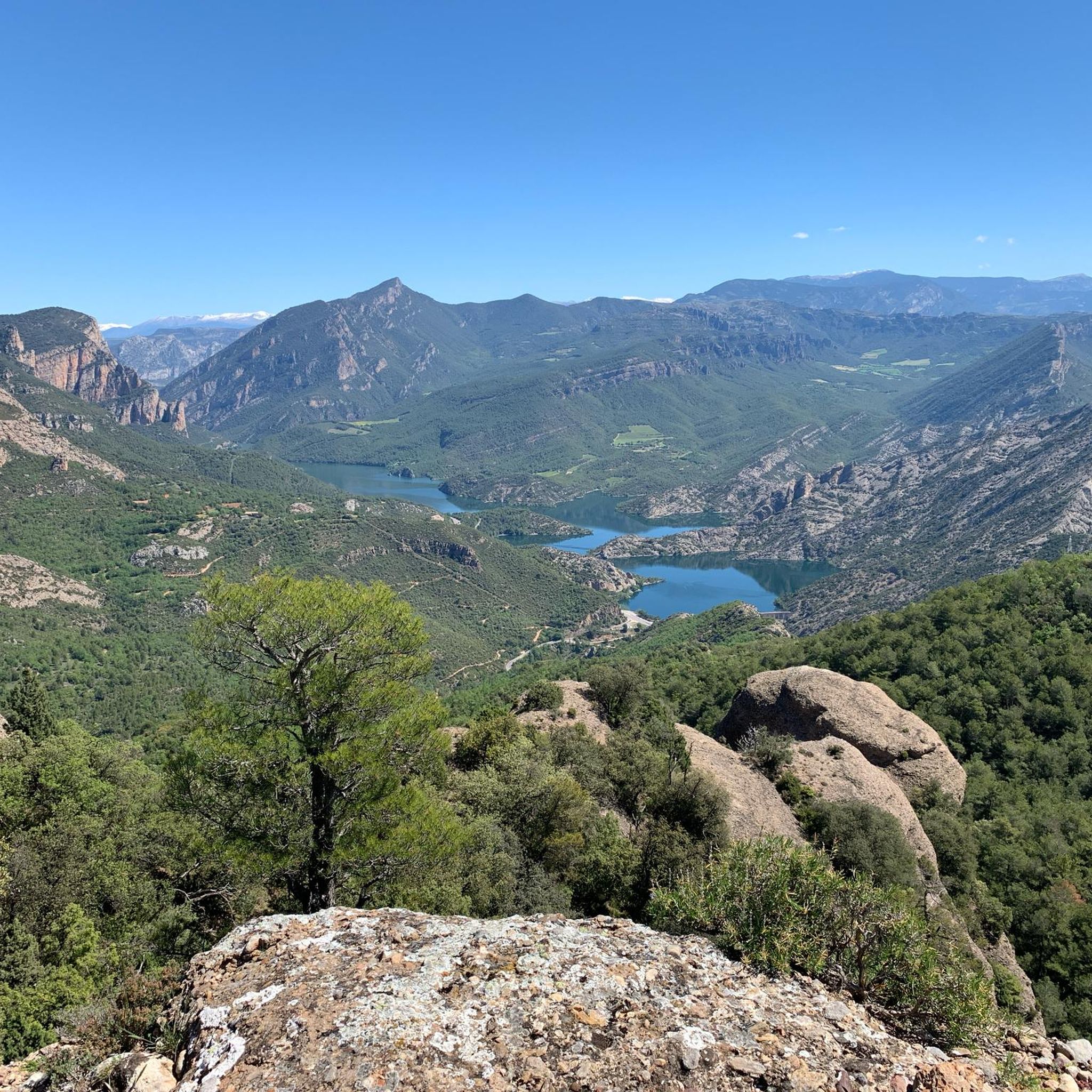
On the border between the municipalities of Peramola and Oliana, you will find the summit and viewpoint of Coscollet, one of the highest and most spectacular points in the Serra d’Aubenç, with extensive views over the Segre River, the Oliana Reservoir and a good part of Alt Urgell. The access road passes through demanding paths and tracks, often rocky and exposed, reserved for experienced cyclists with good legs, or e-bikes with autonomy. Arriving at the summit, at almost 1,610 meters above sea level, rewards the effort with one of the wildest and most solitary panoramas of the Catalan Pre-Pyrenees. The wind often blows strongly, and there is no service or shade, so you need to bring water, protection and everything you might need to stay there for a while. It is one of those places that is not easy, but that leaves its mark.
1
0

There is an 18km climb and almost no shadows.
1
0

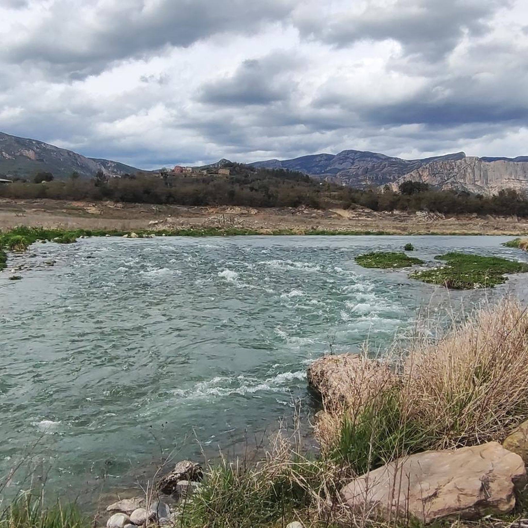
Stone bridge. With the name, Puente de las Masias, it crosses the homonymous ravine, which carries water from the Valldarques River. Within the municipality of Coll de Nargó.
0
0
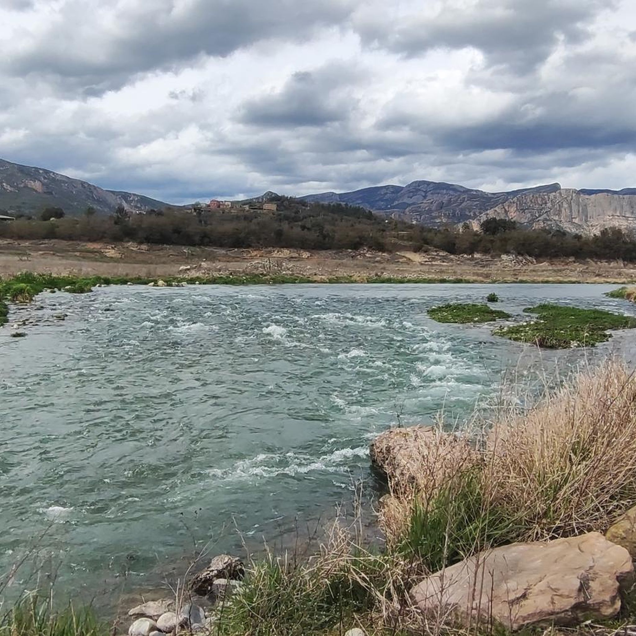
Viewpoint with magnificent views located in the Sierra de Sant Honorat
3
0

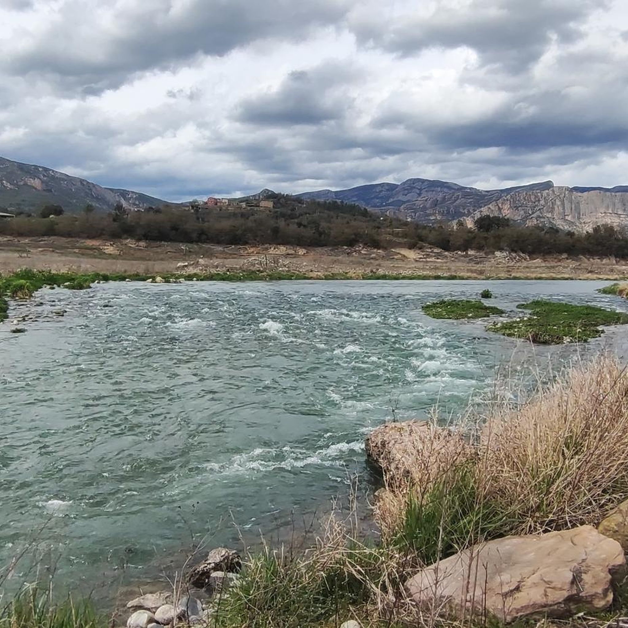
Great place for spotting gaint birds of prey! Yet also alot of mosquitoes on the trail to this place.
4
0
Frequently Asked Questions
How many running routes are available in Peramola?
Peramola offers a diverse selection of over 15 running routes, catering to various fitness levels. These include easy paths, moderate challenges, and difficult trails with significant elevation gain, ensuring there's something for every runner.
What kind of terrain can I expect on Peramola's running trails?
The terrain in Peramola is highly varied. You'll find flatter routes along the agricultural plains near the Segre river in the eastern part, while the north and northwest feature significantly more mountainous and rugged areas with impressive conglomerate rock formations and cliffs. The routes often pass through pine forests, holm oak groves, and rocky habitats.
Are there any challenging running routes for experienced runners in Peramola?
Yes, Peramola offers several challenging routes for experienced runners. For instance, the Tossal del Faig – lo Coscollet loop from la Tolla is a difficult 19.8 km trail with over 1000 meters of elevation gain. Another demanding option is the View of Rocas de Sant Honorat loop from Peramola, covering 16.7 km with significant ascents.
What natural landmarks or viewpoints can I see while running in Peramola?
Many running routes in Peramola offer stunning natural sights. You can encounter prominent features like the Aguja del Corb, a natural monument with dramatic cliffs, or enjoy expansive vistas from viewpoints such as the Top of the Coscollet. The region is also known for the Serra d'Aubenç mountain range and the scenic Coll de Bóixols.
Are there any historical or cultural sites along the running routes in Peramola?
Yes, Peramola's routes can lead you past interesting historical and cultural points. You might discover the ruins of the Romanesque hermitage of Sant Salvador near the Roca del Corb, or explore the historic center of Peramola itself, which includes the Romanesque church of Sant Miquel and remnants of the ancient Peramola castle. The Castell de Castell-llebre loop from el Roser offers views of the historic Castell-llebre.
Are the running trails in Peramola suitable for families or those with strollers?
While many routes in Peramola feature rugged, mountainous terrain, the agricultural plains along the Segre river offer flatter sections that might be more suitable for gentler runs or family walks. However, most trails are not specifically designed for strollers due to the varied and often uneven surfaces. It's best to check individual route descriptions for suitability.
Are dogs allowed on the running trails in Peramola?
Generally, dogs are welcome on many outdoor trails in the Catalan Pre-Pyrenees. However, it's always advisable to keep your dog on a leash, especially in areas with livestock or wildlife, and to respect local regulations. Please ensure you clean up after your pet to maintain the natural environment.
Where can I park my car when accessing the running trails in Peramola?
Parking is typically available in or near the village of Peramola and at common starting points for popular trails. For specific routes, it's recommended to check the route details on komoot, as many tours provide information on nearby parking facilities at their starting points.
Is public transport available to reach the trailheads in Peramola?
Peramola is a smaller, more rural area in the Alt Urgell region. While there might be limited local bus services connecting to larger towns, direct public transport to specific trailheads can be infrequent. It's often more convenient to reach Peramola by car, especially if you plan to access various starting points for running routes.
Are there any circular running routes in Peramola?
Yes, many of the running routes in Peramola are designed as circular loops, allowing you to start and finish at the same point. Examples include the popular Els Gegants de Coll Piquer – Roc Roi loop from Coll de Nargó and the Castell de Castell-llebre loop from Peramola.
What is the best time of year to go running in Peramola?
The spring and autumn months are generally ideal for running in Peramola, offering pleasant temperatures and vibrant landscapes. Summers can be warm, especially in the plains, but higher altitude routes provide cooler conditions. Winters can bring colder weather and potentially snow in the mountainous areas, which might affect trail conditions.
What are the typical trail conditions like in Peramola, especially after rain or in winter?
After rain, some trails, particularly those with earthy or forest paths, can become muddy and slippery. In winter, higher elevation routes in the Serra d'Aubenç may experience snow and ice, making them more challenging or impassable. Lower-lying routes might remain clear but can still be cold. Always check local weather conditions before heading out.
What do other runners enjoy the most about jogging in Peramola?
Runners frequently praise Peramola for its diverse and scenic landscapes, offering a refreshing and visually stimulating backdrop. The blend of accessible plains and rugged mountainous terrain provides options for both physical challenge and picturesque scenery, making it an excellent destination for outdoor enthusiasts.
Most popular attractions around Peramola

Get inspired with the komoot mobile app


Explore more
Browse the best Running Trails & Routes in other regions.
