The best walks and hikes around Santa Eulàlia De Ronçana
4.5
(846)
6,626
hikers
407
hikes
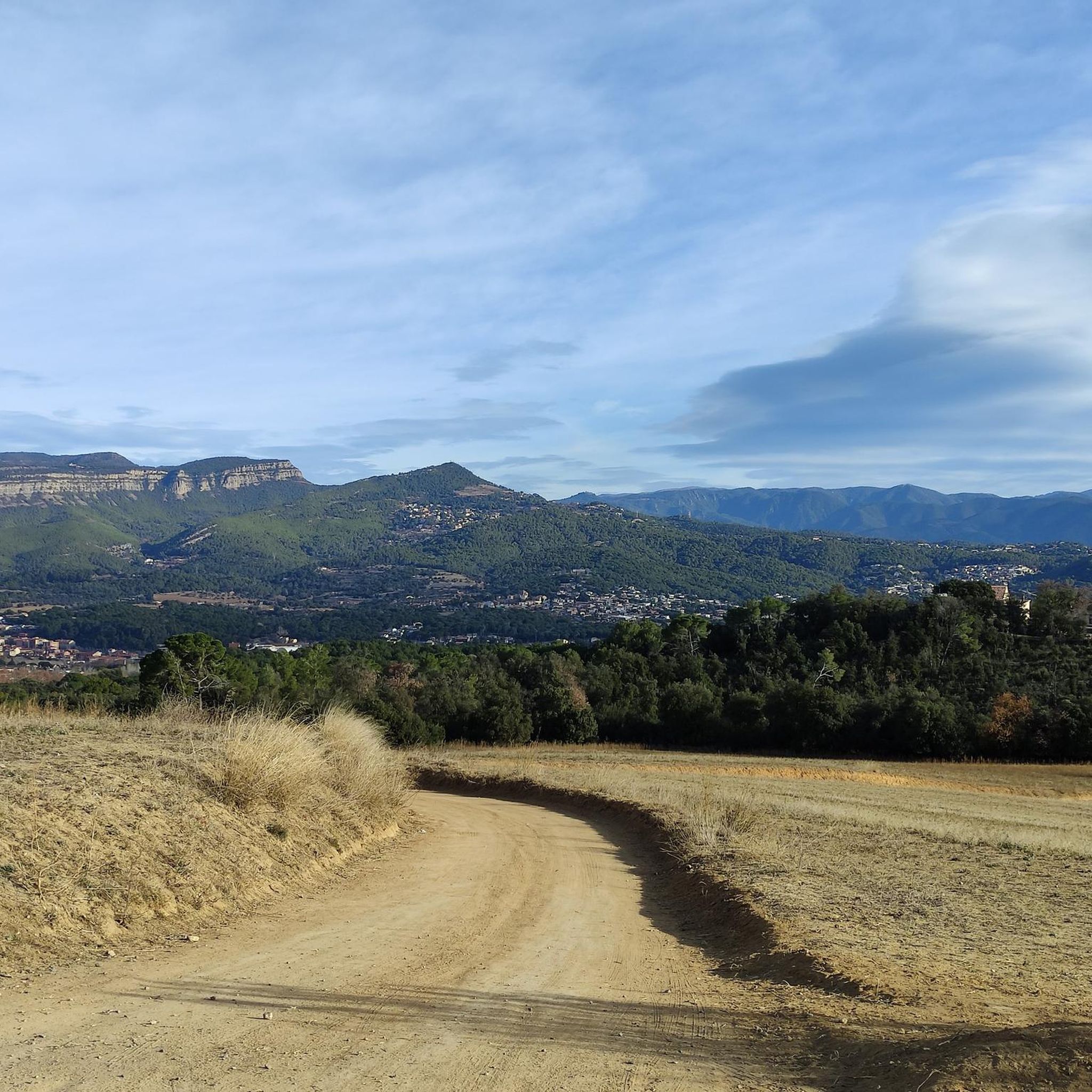
Hiking around Santa Eulàlia De Ronçana offers access to diverse natural landscapes within the Vallès Oriental region of Catalonia. The area features varied topography, including narrow paths, small valleys with streams, cultivated terraces, and steep slopes. Prominent natural landmarks include the Cingles de Bertí, a series of impressive cliffs, and the Tenes River, which shapes the valley and riverside paths. Holm oak forests are abundant, contributing to the region's verdant appearance.
Best hiking trails around Santa Eulàlia De Ronçana
- The…
Last updated: July 7, 2026
4.0
(1)
2
hikers
9.06km
02:29
150m
150m
Hike the 5.6-mile Santa Eulàlia de Ronçana Trail, a moderate route through diverse forests and valleys, featuring a historic stone bridge.
2
hikers
15.6km
04:22
300m
300m
Hike the moderate 9.7-mile Santa Eulàlia de Ronçana Trail (PR-C 10) through varied landscapes, enjoying views of the Cingles de Bertí.

Sign up for free
4.8
(6)
54
hikers
Moderate hike. Good fitness required. Mostly accessible paths. Sure-footedness required.
4.0
(1)
23
hikers
9.66km
02:31
60m
60m
Moderate hike. Good fitness required. Easily-accessible paths. Suitable for all skill levels.
16
hikers
7.42km
01:59
80m
80m
Easy hike. Great for any fitness level. Easily-accessible paths. Suitable for all skill levels.
Get access to more routes and recommendations from other explorers.
Sign up for free
Already have an account?
Our route recommendations are based on thousands of hikes, rides, and runs completed by other people on komoot.
Start today with a free account
Your next adventure awaits.
Login or Signup
Tips from the Community


enjoy and respect
0
0

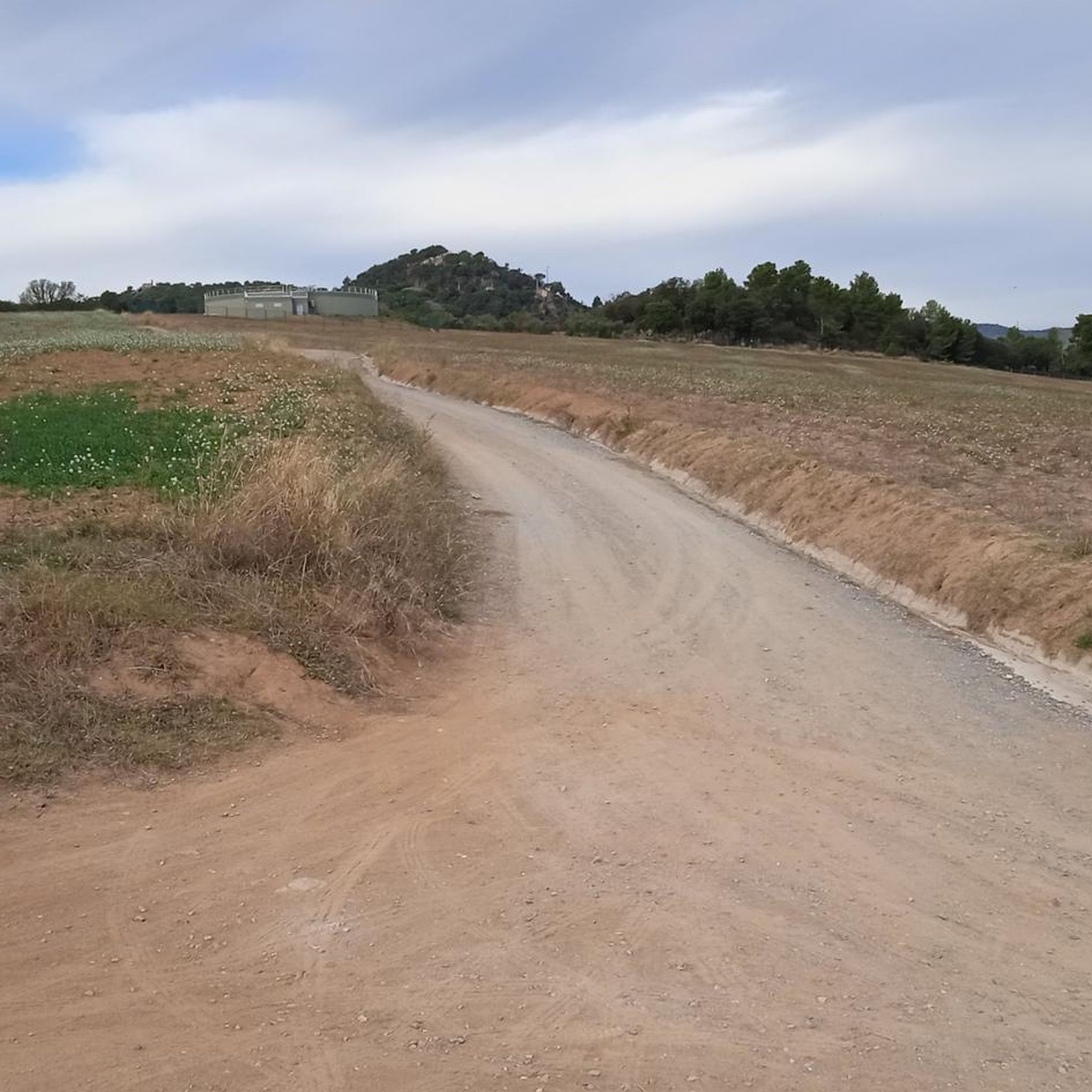
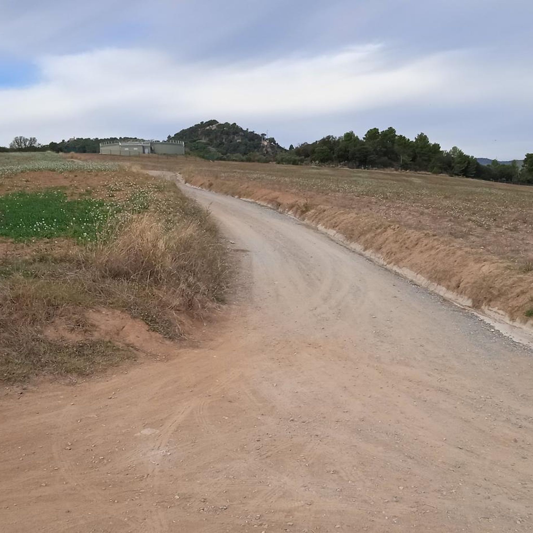
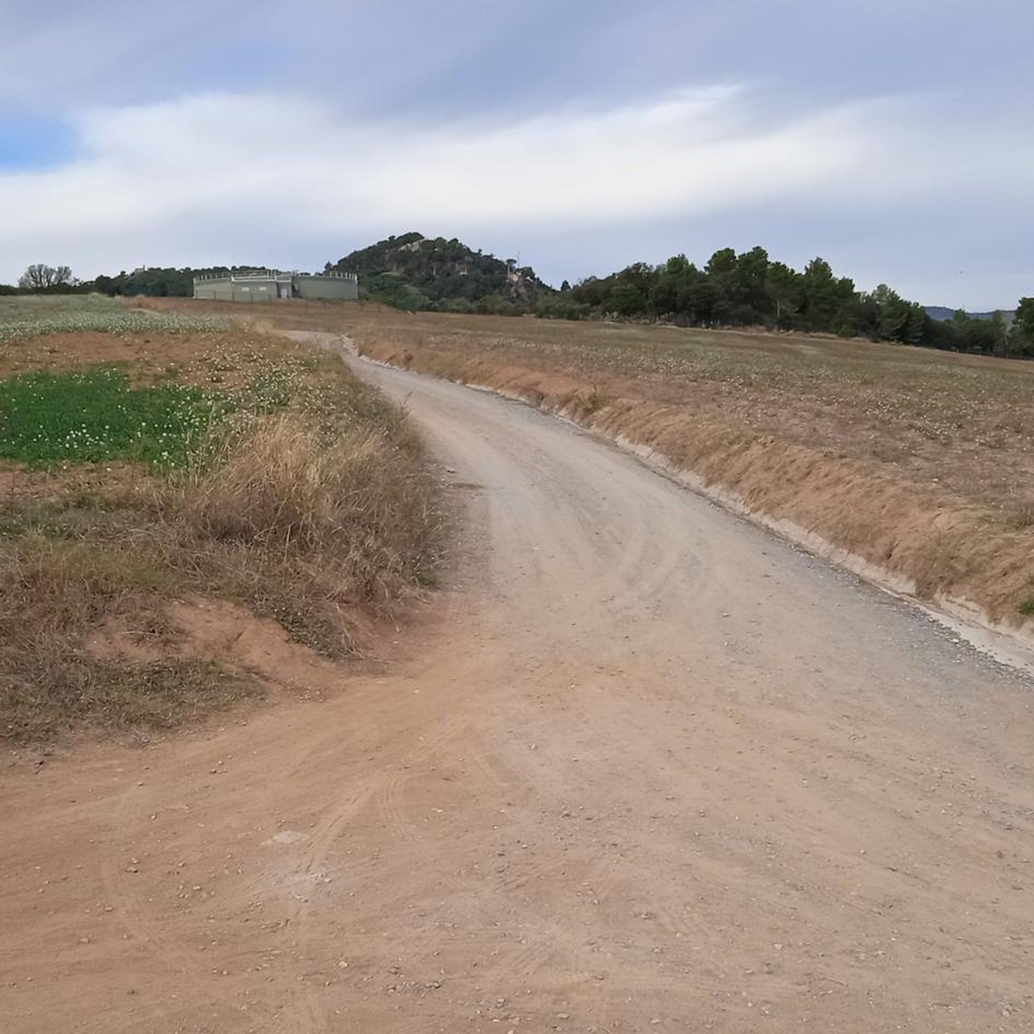
Rural road between Sta. Eulàlia de Ronçana and Caldes de Montbui with good views of the Cingles de Bertí.
0
0

Follow the course of the river, there are waterfalls and magical corners.
0
0

You are absolutely right and it is a spectacular route for me.
3
0

From this point in the middle of agricultural fields you can see the cliffs of Bertí in the background and the Fai valley, which goes into the mountains.
0
0

Get off the bike and you will have no problems crossing, in winter be careful with sudden floods, very dangerous if it rains. Continue towards Riells de Fai and there you have a spectacular place to stop for breakfast.
7
0

At this point I would like to quote the incomparable humorist Heinz Erhardt (1909 - 1979), who was known to a wide audience - especially in German-speaking countries - for his wordplay and "another poem" with a short quatrain: "There's certainly a lot of beauty in it, on the element, the wet. Because you can drink the water. But you can leave it alone." (H.Erhardt)
2
0
Frequently Asked Questions
How many hiking trails are available in Santa Eulàlia De Ronçana?
Santa Eulàlia De Ronçana offers a good selection of hiking opportunities, with over 20 routes to explore. These trails cater to various fitness levels, from easy walks to more challenging treks.
Are there easy hiking routes suitable for beginners or families in Santa Eulàlia De Ronçana?
Yes, there are 10 easy hiking routes in the area. A great option for a more relaxed walk is the Hermitage of Santa Justa loop from Sant Cristòfol, which is about 5 km long and takes around 1 hour 23 minutes. Another easy choice is the View of the Cingles de Bertí loop from Santa Eulàlia de Ronçana, offering scenic views over 7 km.
What kind of natural features can I expect to see while hiking in Santa Eulàlia De Ronçana?
The region boasts a diverse landscape, including impressive cliffs like the Cingles de Bertí, which offer spectacular vistas. You'll also find small valleys with streams, the prominent Tenes River with its riverside paths, and abundant holm oak forests, creating a lush and verdant environment, especially in spring. The area features a mix of cultivated terraces, steep slopes, and deep ravines.
Are there any circular hiking routes in Santa Eulàlia De Ronçana?
Yes, many of the trails in Santa Eulàlia De Ronçana are circular, allowing you to start and end at the same point. Popular circular options include the Font de la Figuereta loop from Santa Eulàlia de Ronçana (moderate, 9.7 km) and the more challenging Font de la Figuereta – Views of the Cingles de Bertí loop from Santa Eulàlia de Ronçana (difficult, 21.4 km).
What historical or cultural landmarks can be found along the hiking trails?
Hikers can discover several historical sites, such as the Hermitage of Sant Cristòfol and the old bridge over the Tenes river. The region is also home to medieval farmhouses (masías) like Can Mas, Can Puig, or Can Burguès, which add significant heritage value to the routes. While slightly further afield, the Puiggraciós Optical Telegraph Tower offers exceptional panoramic views.
What do other hikers say about the trails in Santa Eulàlia De Ronçana?
The hiking routes in Santa Eulàlia De Ronçana are highly regarded by the komoot community, with an average score of 4.5 stars from over 600 reviews. Hikers often praise the varied terrain, the impressive views of the Cingles de Bertí, and the well-maintained paths that lead through forests and along river valleys.
Are there any specific attractions or points of interest near the hiking areas?
Beyond the hiking trails, you can explore nearby attractions. For those interested in history, there are several castles in the wider region, such as Sentmenat Castle or Guanta Castle. Additionally, the Parc de les Olors (Scent Park) offers activities related to aromatic plants, and a lavender field in Mas Sampera is a beautiful spot for scenery and photography.
What is the longest or most challenging hike in Santa Eulàlia De Ronçana?
For a more challenging experience, consider the Font de la Figuereta – Views of the Cingles de Bertí loop from Santa Eulàlia de Ronçana. This difficult 21.4 km trail typically takes nearly 6 hours to complete and offers extensive views of the Cingles de Bertí.
Can I find trails that follow the Tenes River?
Yes, the Tenes River (Riera de Tenes) is a central natural feature of the area. The Camino del Tenes is specifically highlighted for its marked routes and natural beauty, following the river and leading to various natural spots, including sluices and pools. Many other routes will also cross or run alongside sections of the river.
What kind of terrain can I expect on the trails?
The terrain in Santa Eulàlia De Ronçana is quite varied. You'll encounter narrow paths, cultivated terraces, and steep slopes, as well as sections through deep ravines and alongside cliffs. The presence of holm oak forests means many trails offer shaded sections, while others provide open views across valleys and plains.
Are there any trails that offer panoramic views?
Absolutely. Many routes provide excellent panoramic views, particularly those that ascend towards the Cingles de Bertí. The Santa Eulàlia de Ronçana Trail (PR-C 10) is a moderate route that specifically highlights views of these impressive cliffs. For even broader vistas, the Puig de la Creu Summit, though slightly further afield, offers exceptional panoramic views of the surrounding regions.
Most popular routes around Santa Eulàlia De Ronçana
Most popular attractions around Santa Eulàlia De Ronçana

Get inspired with the komoot mobile app


Explore more
Browse the best Hikes in other regions.
