The best running trails around Benaguasil
4.3
(15)
1,787
runners
158
runs
Jogging around Benaguasil offers a diverse landscape for runners of all levels. The region features a mix of agricultural areas, local parks, and paths along gentle inclines. While many routes are relatively flat, some trails venture into slightly hillier terrain, providing varied elevation profiles. This allows for both relaxed runs through open countryside and more challenging workouts with greater elevation gain.
Best jogging routes around Benaguasil
- The most popular jogging route is Running loop from La Pobla de Vallbona,…
Last updated: October 8, 2026
31
runners
8.26km
00:51
30m
30m
Moderate run. Good fitness required. Mostly paved surfaces. Suitable for all skill levels.
13
runners
Hard run. Very good fitness required. Mostly paved surfaces. Suitable for all skill levels.

15
runners
11.9km
01:14
40m
40m
Moderate run. Good fitness required. Mostly paved surfaces. Suitable for all skill levels.
15
runners
6.20km
00:38
10m
10m
Moderate run. Good fitness required. Mostly paved surfaces. Suitable for all skill levels.
5.0
(1)
56
runners
10.4km
01:21
250m
250m
Moderate run. Good fitness required. Mostly paved surfaces. Suitable for all skill levels.
Get access to more routes and recommendations from other explorers.
Already have an account?
Our route recommendations are based on thousands of hikes, rides, and runs completed by other people on komoot.
Start today with a free account
Your next adventure awaits.

Tips from the Community

Totally abandoned area, without maintenance. They repair it from time to time and abandon it again until its total deterioration.
0
0
15th century castle at the entrance to the town of Benisano. Can be visited Saturdays and Sundays
0
0

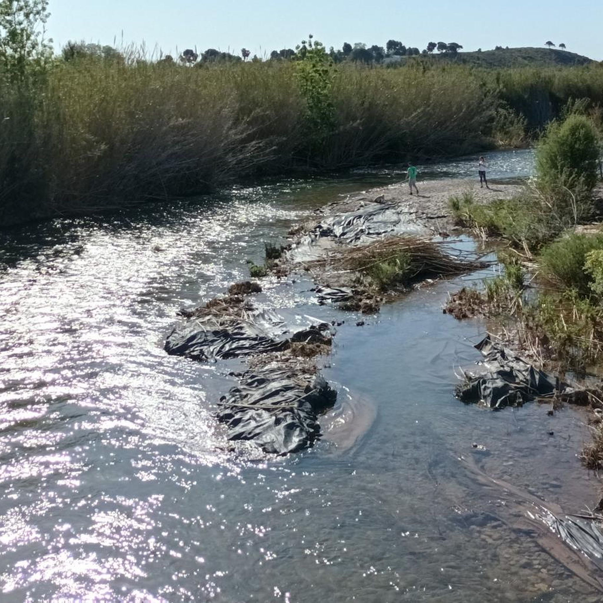
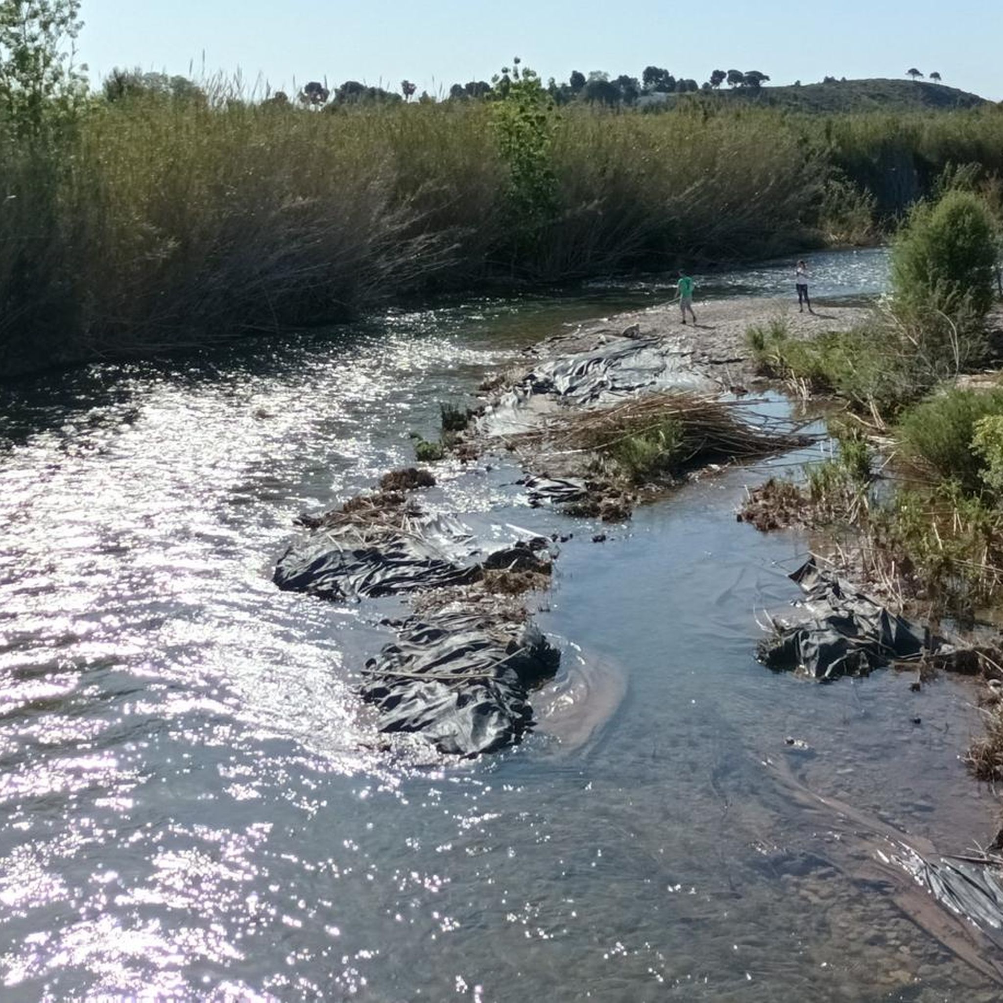
Old mill that used the waters of the same river to operate and that now the growth of the city has caused it to be hidden in this northern area of the municipality.
0
0
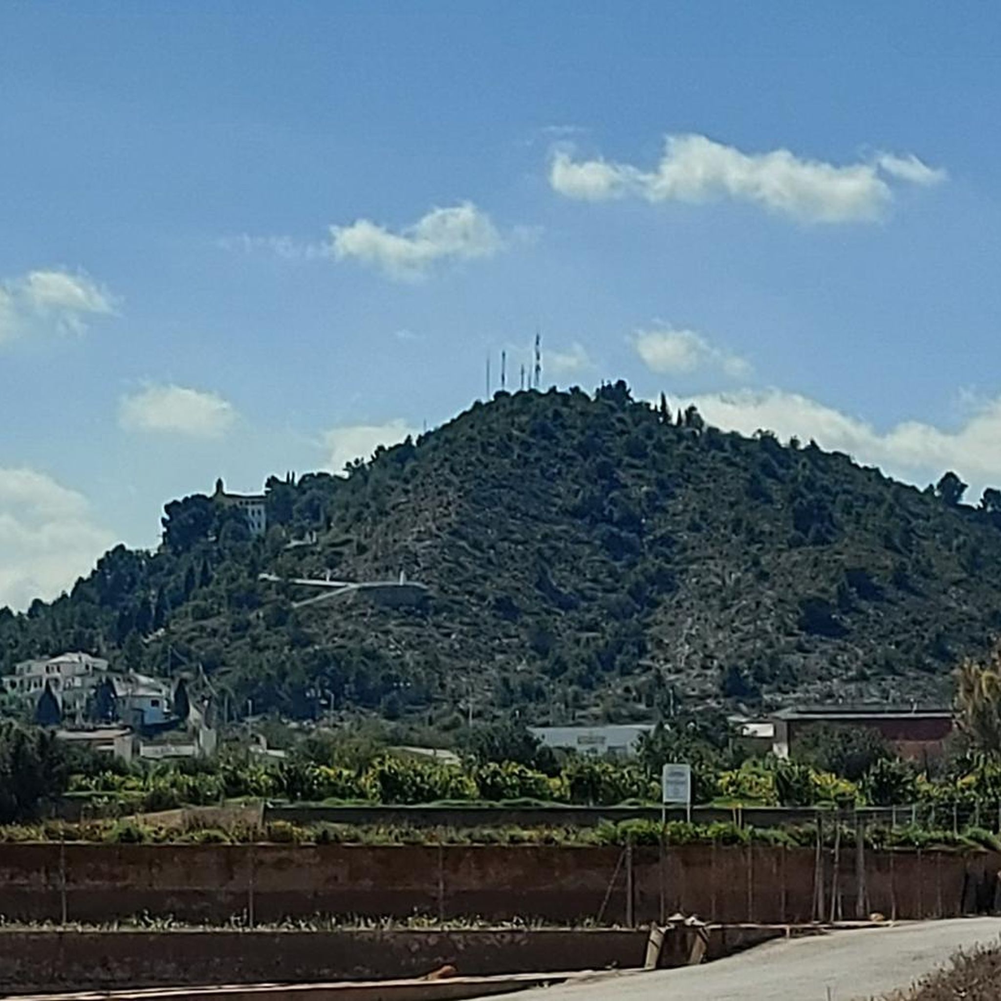
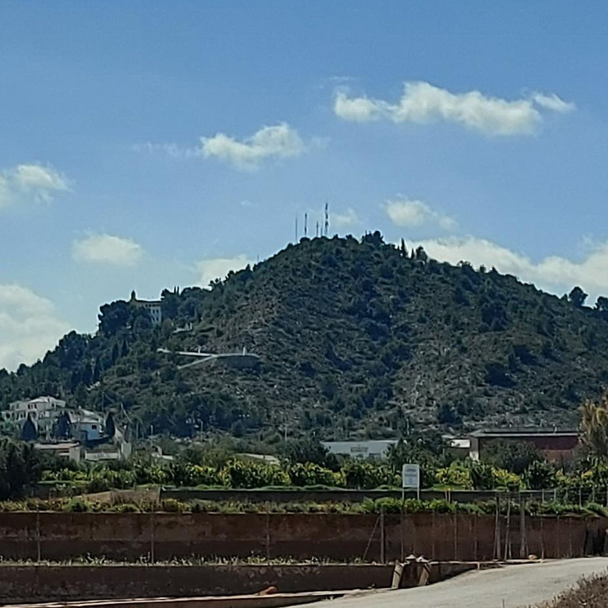
From the town of Llíria there appears a small mountain range called Les Travesses that reaches this small peak called La Buitrera.
0
0

On the old route of the railway that joined Llíria and Valencia (the section of which was disused when it passed through the municipality of Benaguasil) the adaptations necessary to turn it into a Greenway were carried out in 2014. The itinerary starts in the building of the old *Lliria railway station
1
1
Garden with trees located at the East access of Llíria.
0
0
Benissanó Castle is one of the best preserved in the Valencian Country and was built in the second half of the 15th century on the site of an old Arab farmhouse called Benixanut, thanks to the wishes of the Cavanilles and Villarrasa family, lords of Benissanó. This building can be considered as a castle-palace, where the fortress and the stately residence are combined. In its primitive aspect, the castle had a drawbridge and a moat; the top of the central tower was triangular and pointed; these elements were removed in later reforms.
0
0

This road is almost car-free amidst the mountain area. Coming from the top, on the left side, there is the convent of San Miguel on the mountain and almond trees directly on the road, to blossom at this time of the year.
2
0
Frequently Asked Questions
How many running routes are available around Benaguasil?
There are over 120 running routes in and around Benaguasil, offering a wide variety of options for all skill levels. The region features a mix of agricultural areas, local parks, and paths along gentle inclines.
Are there easy jogging routes suitable for beginners in Benaguasil?
Yes, Benaguasil offers several easy jogging routes perfect for beginners. For instance, the Running loop from Benaguasil is a moderate 3.9 miles (6.2 km) trail that leads through the immediate surroundings and is often completed in about 38 minutes, making it a great option to start with.
What are some challenging running trails near Benaguasil?
For those seeking a more challenging run, routes like the Left Livestock Pens – Geodetic Point La Buitrera loop from Edeta offer significant elevation gain. This route covers 9.2 miles (14.8 km) with over 270 meters of ascent, providing a robust workout.
Are there any circular running routes in the Benaguasil area?
Many of the running routes around Benaguasil are circular, allowing you to start and finish in the same location. Popular options include the Running loop from La Pobla de Vallbona, which is 5.1 miles (8.3 km) long, and the Molí de Lluna loop from la Pobla de Vallbona, a moderate 7.4 miles (11.9 km) path.
What kind of elevation can I expect on jogging routes in Benaguasil?
The elevation profiles vary significantly. Many routes, especially those through agricultural areas and local parks, are relatively flat with minimal elevation gain. However, some trails venture into slightly hillier terrain, such as the La Buitrera – Geodetic Point La Buitrera loop from Edeta, which features over 220 meters of ascent over 5.4 miles (8.7 km), providing more challenging workouts.
Are there any viewpoints or interesting landmarks along the running trails?
Yes, several routes offer scenic views and pass by notable landmarks. For instance, you might encounter highlights like La Rodana Gran or the Carasoles Geodetic Point, which provide excellent panoramic views of the surrounding landscape. Some trails also pass by the Sanctuary of Our Lady of Montiel.
What do other runners say about the trails in Benaguasil?
The running routes in Benaguasil are highly regarded by the komoot community, with an average rating of 4.0 stars from 7 reviews. Runners often praise the diverse terrain, from open fields to gentle hills, and the well-maintained paths that make for an enjoyable experience.
Are there any shaded running routes for summer in Benaguasil?
While many routes in Benaguasil traverse open agricultural landscapes, some trails offer sections with natural shade, particularly those that pass through local parks or areas with more tree cover. It's advisable to check individual route details on komoot for specific shade information, especially during warmer months.
Are the running routes in Benaguasil suitable for families?
Many of the easier and flatter routes are suitable for families, offering pleasant runs through local parks and less challenging terrain. These paths provide a great opportunity for families to enjoy outdoor activity together. Always check the distance and elevation profile of a specific route to ensure it matches your family's fitness level.
What kind of natural attractions can I see while running in Benaguasil?
Beyond the agricultural scenery, you can discover natural attractions such as the Turia River Weir or explore areas like La Buitrera. The region's diverse landscape provides a mix of open fields and natural features to enjoy during your run.
Is parking generally available near the running trails in Benaguasil?
Yes, for many popular running routes, especially those starting from towns like Benaguasil or La Pobla de Vallbona, you can typically find public parking options nearby. It's always a good idea to check the starting point of your chosen route on komoot for specific parking recommendations or facilities.
Most popular routes around Benaguasil
Most popular attractions around Benaguasil

Get inspired with the komoot mobile app


Explore more
Browse the best Running Trails & Routes in other regions.
