The best walks and hikes around San Bartolomé De Béjar
4.6
(165)
947
hikers
89
hikes
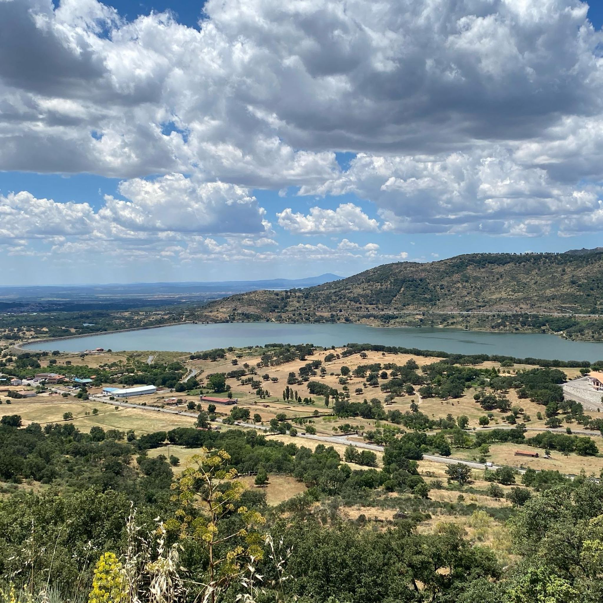
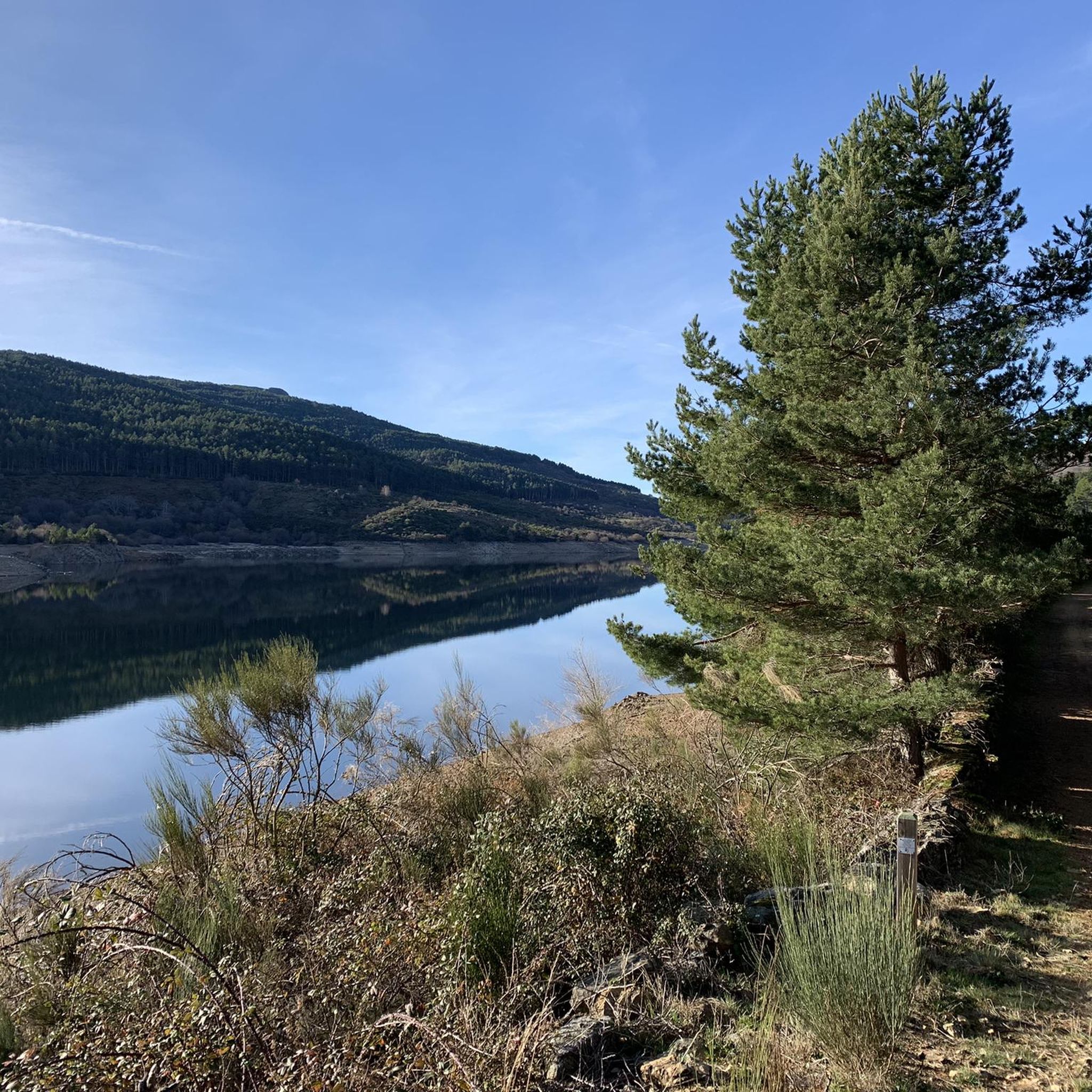
Hiking around San Bartolomé De Béjar offers access to the mountainous terrain of the Sierra de Gredos, characterized by high-altitude lagoons and rocky peaks. The landscape features a mix of open mountain trails and areas with varied vegetation. Elevation changes are common, providing panoramic views across the region.
Best hiking trails around San Bartolomé De Béjar
- The most popular hiking route is Laguna del Duque Trail, a 3.2 miles (5.1 km) trail that takes 2 hours 9 minutes to…
Last updated: July 8, 2026
4.4
(5)
31
hikers
5.08km
02:09
240m
240m
Hike the 3.2-mile Laguna del Duque Trail to discover the largest glacial lake in Sierra de Gredos, with forest and mountain views.
5.0
(4)
54
hikers
13.9km
06:06
790m
780m
This difficult 8.7-mile circular hike in Espacio Natural de la Sierra de Candelario offers high-mountain views and challenging terrain.

Sign up for free
5.0
(2)
9
hikers
14.4km
06:24
890m
880m
Hike the difficult 8.9-mile Lagunas del Trampal circular trail in Sierra de Béjar, featuring glacial lagoons and panoramic views from Cancha
5.0
(1)
5
hikers
8.74km
03:50
510m
510m
Hike the moderate 5.4-mile Canchal Negro circular route from La Covatilla, gaining 1684 feet for panoramic views and a lunar landscape.
1
hikers
15.2km
07:11
1,040m
1,040m
This difficult 9.4-mile hike to Canchal de la Ceja and Laguna del Duque offers high-mountain views in Sierra de Béjar.
Get access to more routes and recommendations from other explorers.
Sign up for free
Already have an account?
Our route recommendations are based on thousands of hikes, rides, and runs completed by other people on komoot.
Start today with a free account
Your next adventure awaits.
Login or Signup

Tips from the Community

At a distance of just 2 km from the Collado de Los Buitres mountain pass, a good area to enjoy nature and breathe fresh air.
7
0

The top of Canchal Negro is located at 2,364 meters above sea level within the Sierra de Candelario Natural Area, a wonderful place worth visiting. Getting here has its price, the road can be demanding and technical in some sections, but the views are very comforting.
1
0
Another of the most important peaks of the Sierra de Candelario Park, the Calvitero rises above 2400 meters above sea level, offering wonderful panoramic views worthy of a postcard.
2
0
Beautiful place! The. Lagunas del Trampal are 3 lakes of glacial origin within the Sierra de Gredos Park and worth visiting, the landscape is wonderful at any time of the year.
1
1
It is the highest peak in the province of Salamanca at 2,427 meters above sea level. The views are amazing but to get here you will have to make a significant physical effort since the journey is very demanding. Remember that the important thing is to enjoy the road and this beautiful landscape.
2
0
Nice valley in the heart of the Sierra de Candelario with beautiful views. If you are on your way to the top of Torreón from here the journey becomes quite demanding and through technical sectors, go carefully and firmly to enjoy this beautiful place!
2
0
Popularly known as "the roof of Extremadura", the top of the Torreón or Calvitero is located at 2400 meters above sea level and without a doubt the views from there are amazing! An ascent that is demanding but with several alternatives to choose from and all of them with spectacular views.
3
0

Frequently Asked Questions
How many hiking trails are available around San Bartolomé De Béjar?
There are nearly 90 hiking trails around San Bartolomé De Béjar, offering a diverse range of experiences from easy strolls to challenging mountain ascents. The komoot community has recorded 88 routes in total.
Are there easy hiking options suitable for beginners or families?
Yes, San Bartolomé De Béjar offers 16 easy hiking routes. These trails are generally shorter and have less elevation gain, making them ideal for beginners or families looking for a relaxed outdoor experience. The landscape still provides beautiful views without demanding strenuous effort.
What kind of landscapes can I expect to see on hikes around San Bartolomé De Béjar?
Hiking around San Bartolomé De Béjar immerses you in the mountainous terrain of the Sierra de Gredos. You'll encounter high-altitude lagoons, rocky peaks, and a mix of open mountain trails with varied vegetation. Expect significant elevation changes that provide panoramic views across the region.
Are there any circular walks in the area?
Yes, many routes in San Bartolomé De Béjar are designed as loops. For example, the difficult Calvitero and Hoya Moros Loop and the Calvitero and Lagunas del Trampal Loop Trail are popular choices for those who prefer to start and end at the same point.
What are some notable natural attractions or landmarks to see while hiking?
The region is rich in natural beauty. You can visit the serene Laguna del Duque, explore the unique Trampal Lagoons, or ascend to the Torreón (Calvitero Summit) for expansive views. The impressive Canchal de la Ceja is another significant natural monument.
Are dogs allowed on the hiking trails?
Generally, dogs are welcome on most hiking trails in the Sierra de Gredos region. However, it's always advisable to keep them on a leash, especially in areas with livestock or protected wildlife. Be sure to check specific park regulations if you plan to enter a designated natural park area.
What is the best time of year to go hiking in San Bartolomé De Béjar?
The best time for hiking is typically from late spring to early autumn (May to October) when the weather is milder and the high mountain passes are clear of snow. Summer offers warm, sunny days, while spring and autumn provide pleasant temperatures and vibrant scenery. Winter hiking is possible but requires appropriate gear and experience due to snow and colder conditions at higher elevations.
Are there any hikes with great viewpoints?
Yes, many trails in the region offer spectacular viewpoints due to the mountainous terrain. Routes that ascend to summits like Torreón (Calvitero Summit) or Peña Negra Summit provide panoramic vistas. The Navamuño Reservoir Views highlight also offers a great perspective.
What do other hikers enjoy most about hiking in San Bartolomé De Béjar?
The area is highly rated by the komoot community, with an average score of 4.6 stars. Reviewers often praise the stunning high-mountain scenery, the challenge of the ascents, and the tranquility of the lagoons. The variety of routes catering to different skill levels is also frequently highlighted.
Are there any longer, more challenging hikes for experienced trekkers?
Absolutely. For experienced trekkers, routes like the Canchal de la Ceja and Laguna del Duque Loop, spanning over 15 km with significant elevation gain, offer a demanding and rewarding experience. These trails explore high mountain passes and require good physical condition.
Is parking available at the trailheads?
Parking is generally available at common starting points for trails in the region, particularly near villages or popular access roads into the Sierra de Gredos. However, during peak season or on weekends, spaces can fill up quickly, so arriving early is recommended.
What should I pack for a hike in San Bartolomé De Béjar?
Given the mountainous terrain and variable weather, it's essential to pack layers of clothing, including waterproof and windproof outerwear. Sturdy hiking boots, sufficient water, snacks, a map or GPS device, sun protection, and a first-aid kit are highly recommended. For longer or more challenging routes, consider trekking poles.
Most popular routes around San Bartolomé De Béjar
Most popular attractions around San Bartolomé De Béjar

Get inspired with the komoot mobile app


Explore more
Browse the best Hikes in other regions.
