The best running trails around La Ercina
52
runners
6
runs
Jogging around La Ercina offers routes through a landscape characterized by glacial lakes, rugged peaks of the Picos de Europa National Park, and expansive alpine meadows. The region features diverse terrain, including lush vegetation and unique floating reedbeds. Jogging routes in La Ercina provide opportunities to explore natural features and historical elements like former mining areas.
Best jogging routes around La Ercina
- The most popular jogging route is Ruta de las Minas – running circular from Sabero (CR-6), a…
Last updated: July 3, 2026
4
runners
8.91km
01:06
200m
200m
Moderate run. Good fitness required. Mostly paved surfaces. Suitable for all skill levels.
2
runners
Moderate run. Good fitness required. Mostly paved surfaces. Suitable for all skill levels.

Sign up for free
18
runners
20.0km
02:27
650m
650m
Hard run. Very good fitness required. Mostly paved surfaces. Suitable for all skill levels.
16
runners
27.3km
04:58
1,830m
1,830m
Hard run. Very good fitness required. Sure-footedness, sturdy shoes and alpine experience required.
8
runners
20.1km
02:30
710m
710m
Hard run. Very good fitness required. Mostly paved surfaces. Suitable for all skill levels.
Our route recommendations are based on thousands of hikes, rides, and runs completed by other people on komoot.
Start today with a free account
Your next adventure awaits.
Login or Signup
Tips from the Community

Running along the route of the Mines we find this beautiful viewpoint. This is the Esla viewpoint, which offers wonderful views of Aleje and Alejico and the surrounding mountains.
1
1
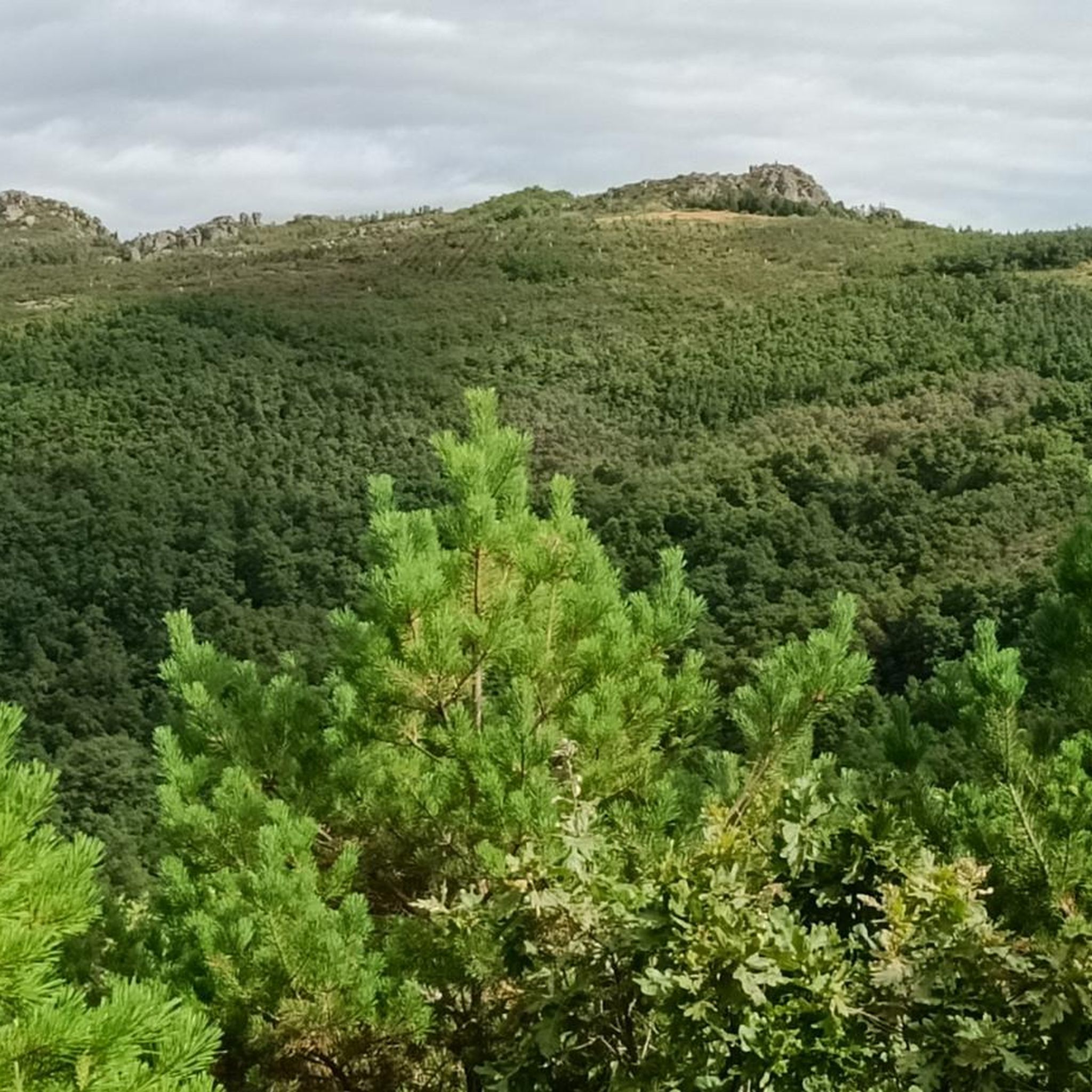
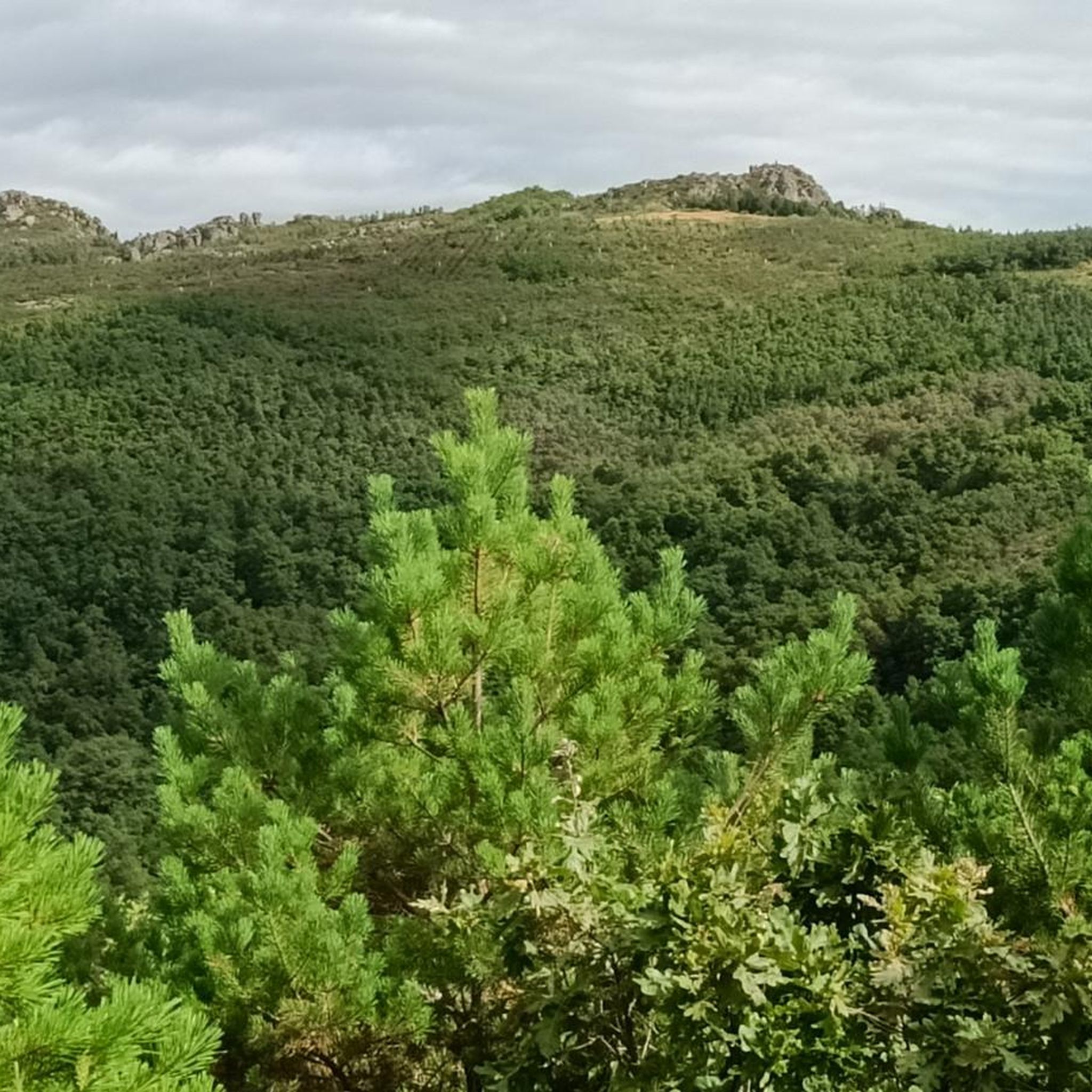
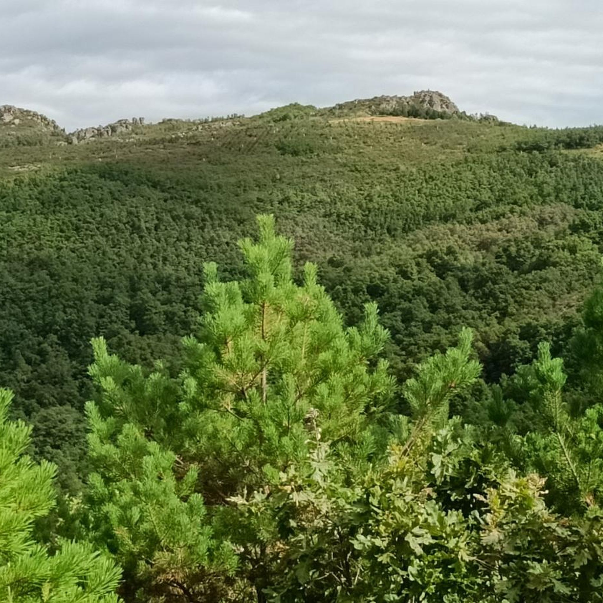
In this section, we find ourselves running through a beautiful oak grove with magnificent views of the Peñacorada Massif.
1
0
Near the town of Fuente de Peñacorda, we find this beautiful spot. An ideal place for lovers of the mountains and outdoor sports.
1
0
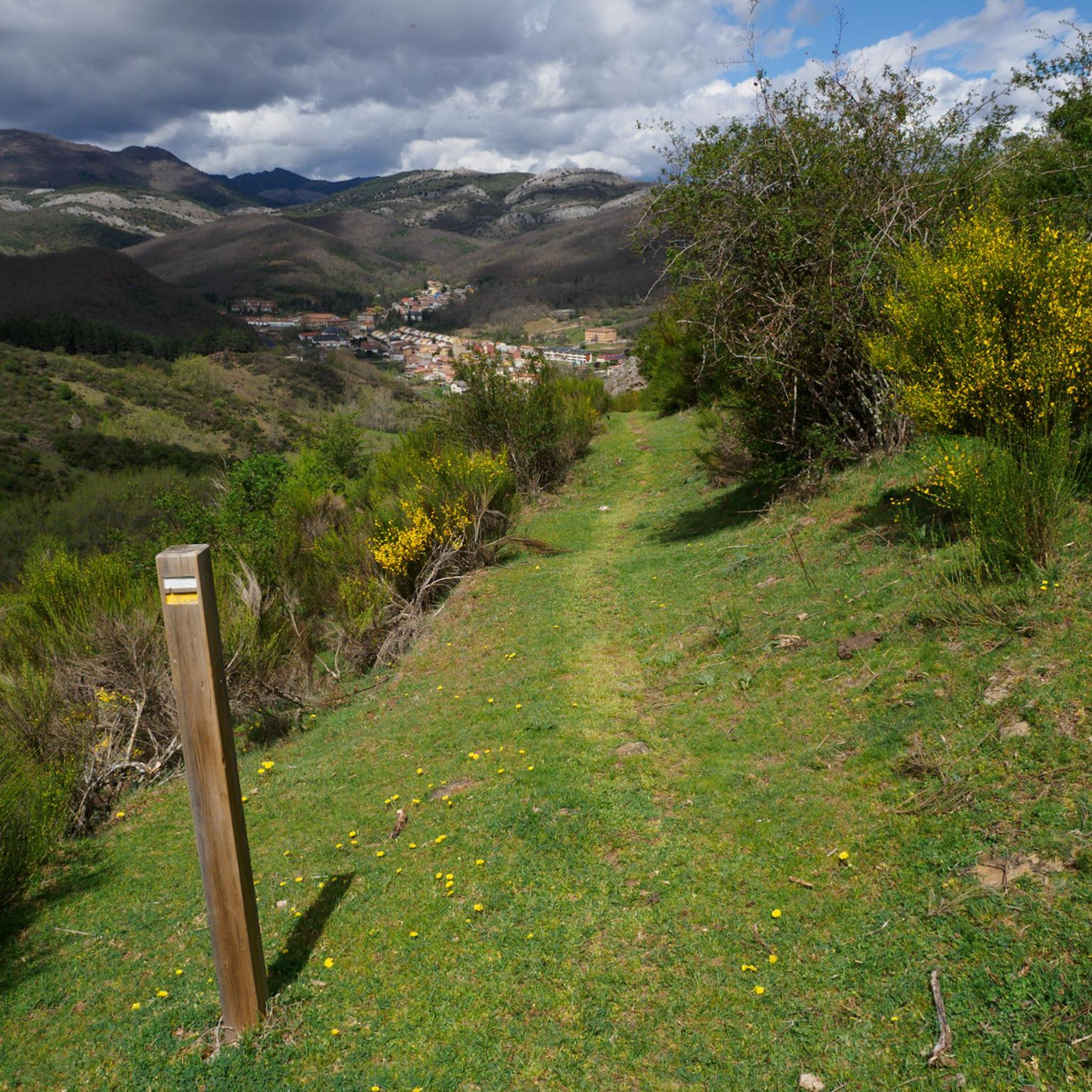
Running along a wide forest track that belongs to the La Huella de las Legiones route, we find these beautiful views of the town of Fuentes de Peñacorada.
1
1
Walking through a beautiful oak grove, we find magnificent views of the Peñacorada Massif.
2
0
Walking along the Ruta de las Minas we come across this beautiful viewpoint. This is the Esla viewpoint, which offers wonderful views of Aleje and Alejico and the surrounding mountains.
2
0
At this point of the route of the Mines we find the Imponderable Mine and a spring. This mine was used to extract iron, as we can see in the color of the stones in the stream. The source has a high iron content, so it is not recommended to drink from it.
1
1
Walking along a wide forest track that belongs to the La Huella de las Legiones route, we come across these beautiful views of the town of Fuentes de Peñacorada.
1
1
Frequently Asked Questions
How many running routes are available in La Ercina?
There are 7 dedicated running routes around La Ercina, offering diverse experiences through the region's stunning natural landscapes.
What kind of terrain can I expect on the running trails around La Ercina?
The running trails in La Ercina feature a varied terrain, characterized by glacial lakes like Lake Ercina and Lake Enol, the rugged peaks of the Picos de Europa National Park, and expansive alpine meadows. You'll encounter lush vegetation, and some routes even pass through historical mining areas.
Are there running routes suitable for beginners in La Ercina?
While there are no routes specifically classified as 'easy' in our current selection, there are 3 moderate running trails that could be suitable for beginners looking for a bit of a challenge. These routes offer manageable elevation gains and a chance to experience the region's beauty.
What do other runners say about the trails in La Ercina?
Over 50 runners have used komoot to explore La Ercina's varied terrain. They often praise the breathtaking panoramic views, the tranquil environment, and the opportunity to jog amidst impressive natural beauty, including glacial lakes and dramatic mountain scenery.
Are there any circular running routes in La Ercina?
Yes, La Ercina offers several circular running routes. A popular option is the Ruta de las Minas – running circular from Sabero (CR-6), which is 5.5 miles long and explores historical mining areas. Another favorite is The Legions' Footprint - circular trail running from Fuentes de Peñacorada, a moderate 4.3-mile path with historical significance.
Can I bring my dog on the running trails in La Ercina?
The Picos de Europa National Park, where much of La Ercina's natural beauty lies, has specific regulations regarding dogs to protect wildlife. While some areas may permit dogs on a leash, it's always best to check local signage or the park's official guidelines before heading out with your pet to ensure a pleasant and compliant experience.
Are there family-friendly running paths in the La Ercina area?
Many of the trails in La Ercina, especially those connecting the Lakes of Covadonga like Lake Ercina and Lake Enol, are considered easy and suitable for all skill levels, making them great for families. These paths often have manageable elevation gains and offer stunning views that everyone can enjoy.
What natural attractions or landmarks can I see while running in La Ercina?
While running in La Ercina, you can encounter several natural attractions. Don't miss the stunning Nocedo Waterfall, also known as Cola de Caballo. You might also pass by the dramatic Curueño Gorge with its jagged rock formations, or enjoy panoramic views from the Esla Viewpoint. Some routes, like the Ruta de las Minas, even incorporate historical elements like the former Buferrera mine.
Is there parking available near the running trailheads in La Ercina?
Yes, for many popular trailheads in the La Ercina region, especially those within the Picos de Europa National Park, parking facilities are available. However, during peak seasons, these can fill up quickly, so arriving early is advisable. Always check specific route details for parking recommendations.
What is the best time of year for running in La Ercina?
The best time for running in La Ercina is generally during the spring, summer, and early autumn months. Spring brings lush wildflowers, while summer offers warmer temperatures ideal for outdoor activities. Autumn provides cooler weather and beautiful fall foliage. Winter can be challenging due to snow and ice, especially at higher elevations in the Picos de Europa.
Are there any running routes that include lakes or water features?
Absolutely! The region is famous for its glacial lakes. While not directly on the routes listed in this guide, the area around Lake Ercina and Lake Enol offers serene beauty and significant ecological value, with trails connecting them. The Lago del Camping – Pico Cueto loop from Barrio de las Ollas is a longer, more difficult route that includes a lake as part of its varied terrain.
Can I access the running trails in La Ercina using public transport?
Access to some trailheads in the La Ercina area, particularly those within the Picos de Europa National Park, can be facilitated by public transport, especially during tourist seasons. Buses often connect major towns to popular starting points. It's recommended to check local bus schedules and routes in advance, as services can be limited in more remote areas.
Most popular attractions around La Ercina

Get inspired with the komoot mobile app


Explore more
Browse the best Running Trails & Routes in other regions.
