The best walks and hikes around Villasandino
4.3
(49)
478
hikers
17
hikes
Hiking trails around Villasandino traverse the expansive plains of the Meseta, offering a sense of solitude and wide views across the Burgos province. The region is characterized by gentle hills and unique topographical features, such as the "fold in the meseta" near Hontanas, which also features natural springs. The area is influenced by the historic Camino Francés, providing access to culturally significant routes and varied natural landscapes, including winding valleys carved by rivers.
Best hiking trails around Villasandino
- The most popular hiking route is Castrojeriz Castle and Santa María del Manzano Loop, a 4.0 miles (6.4 km) trail that takes 1 hour 47 minutes to complete. This easy route explores historical sites near Castrojeriz.
- Another top favourite among local hikers is Alto de Mostelares — circular from Castrojeriz, a moderate 7.3 miles (11.8 km) path. This circular route offers views of the Meseta landscape.
- Local hikers also love the View of Castrojeriz – Entrance to Castrojeriz loop from Hontanas, a 10.0 miles (16.1 km) trail leading through the distinctive terrain around Hontanas, often completed in about 4 hours 9 minutes.
- Hiking around Villasandino is defined by the expansive Meseta plains, the unique topography around Hontanas, and historical paths connected to the Camino Francés. The network offers options for various ability levels, from easy loops to more challenging moderate routes.
- The routes in Villasandino are highly rated by the komoot community with an average score of 4.2 stars from over 40 reviews. More than 400 hikers have used komoot to explore Villasandino's varied terrain.
Last updated: June 28, 2026
5.0
(1)
4
hikers
11.8km
03:16
210m
210m
Moderate hike. Good fitness required. Easily-accessible paths. Suitable for all skill levels.
1
hikers
6.37km
01:47
120m
120m
Easy hike. Great for any fitness level. Easily-accessible paths. Suitable for all skill levels.

Sign up for free
4.5
(15)
140
hikers
16.1km
04:09
90m
90m
Moderate hike. Good fitness required. Easily-accessible paths. Suitable for all skill levels.
4.6
(10)
110
hikers
15.6km
04:11
170m
170m
Moderate hike. Good fitness required. Easily-accessible paths. Suitable for all skill levels.
4.0
(2)
50
hikers
21.4km
06:06
450m
450m
Hard hike. Very good fitness required. Easily-accessible paths. Suitable for all skill levels.
Get access to more routes and recommendations from other explorers.
Sign up for free
Already have an account?
Our route recommendations are based on thousands of hikes, rides, and runs completed by other people on komoot.
Start today with a free account
Your next adventure awaits.
Login or Signup
Popular around Villasandino
Tips from the Community

The Plaza Mayor of Castrojeriz, in the province of Burgos, is one of the most emblematic spaces in this Jacobean town, with a rich history and architecture that reflect its importance on the Camino de Santiago. The square has a porticoed structure, typical of medieval Castilian towns, with stone and wood arcades that house old mansions and traditional shops.
1
0
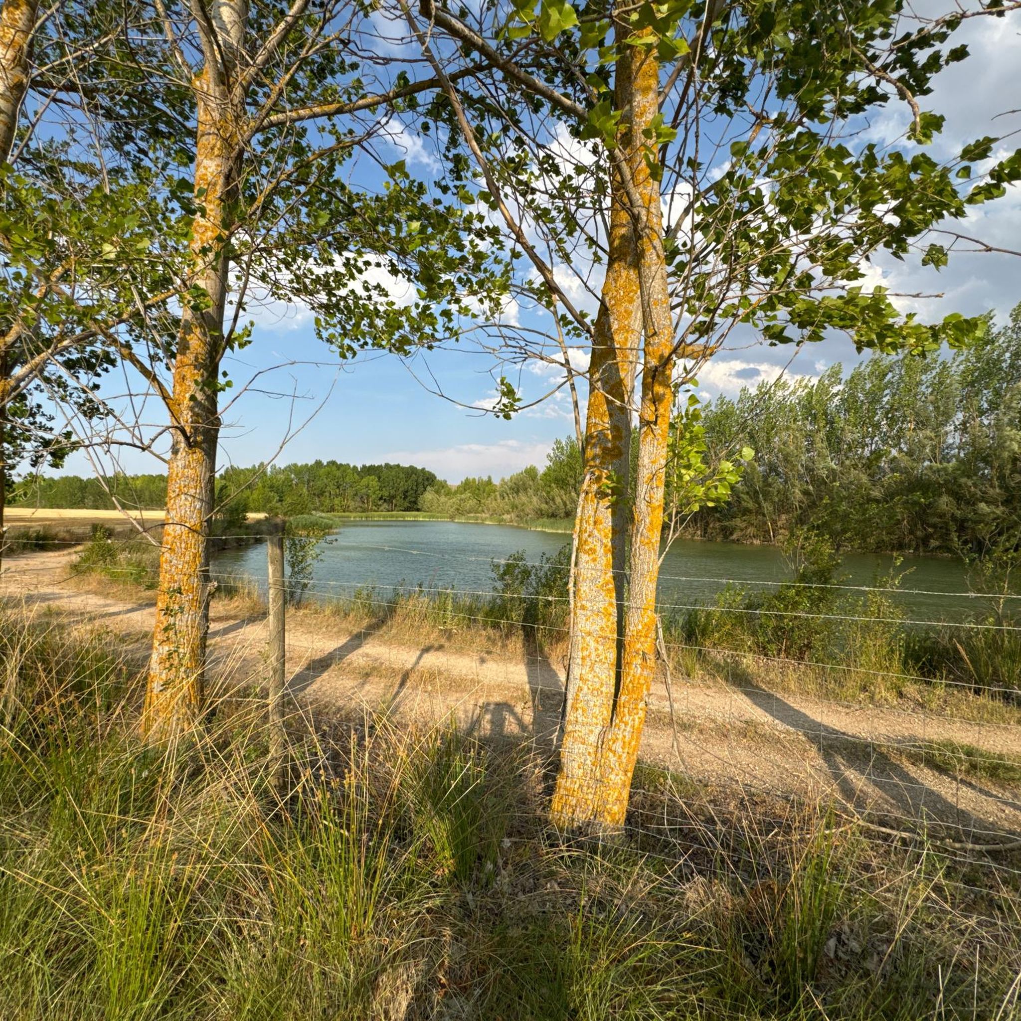
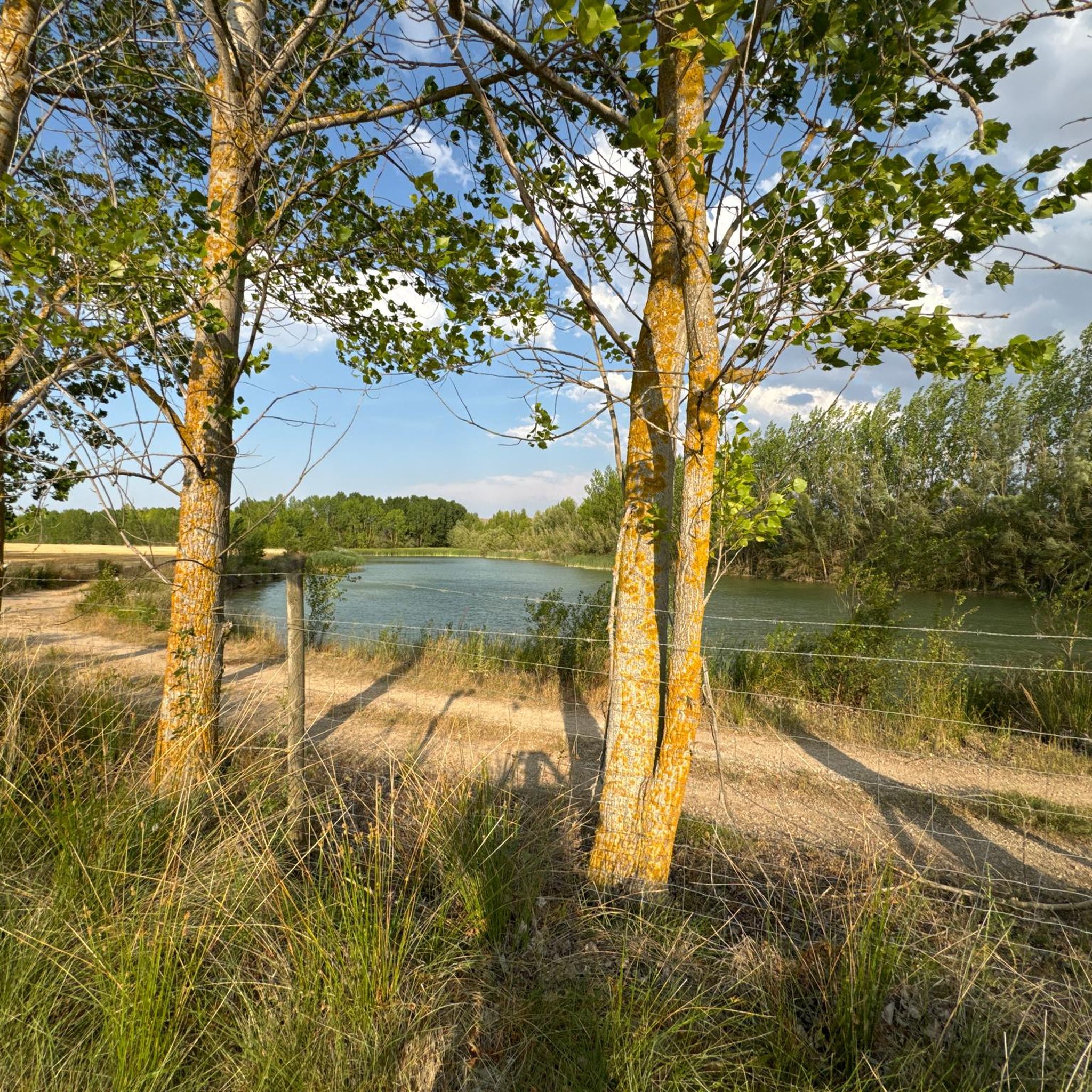
If you have the opportunity to explore this trail, you'll enjoy the natural beauty and ecological richness of the area. Enjoy your hike! 🌿🚶♀️
1
0
The Fitero Bridge, also known as the Itero Bridge, is a historic 11th-century Romanesque construction that crosses the Pisuerga River and connects the towns of Itero de la Vega (Palencia) and Itero del Castillo (Burgos). This bridge marks the provincial border between Palencia and Burgos, and was also formerly the border between the kingdoms of Castile and León.
2
0
The Fitero Bridge, also known as the Itero Bridge, is a historic 11th-century Romanesque construction that crosses the Pisuerga River and connects the towns of Itero de la Vega (Palencia) and Itero del Castillo (Burgos). This bridge marks the provincial border between Palencia and Burgos, and was also formerly the border between the kingdoms of Castile and León.
1
0
The view from Alto de Mostelares is one of the most iconic and spectacular views of the Camino de Santiago in the province of Burgos. This peak is located approximately 4 km west of Castrojeriz and is famous for both its challenging climb and its panoramic views.
2
0
Located on a hilltop, it dominates the town and offers spectacular views of the region. Its origins are Roman, although it was expanded by Arabs and Christians. It suffered severe damage in the Lisbon earthquake of 1755, but its ruins can still be visited.
2
0
Castrojeriz is a historic town located in the province of Burgos, right on the Camino de Santiago. It is known for its impressive heritage, its ancient history, and its key role as a Jacobean site. Castrojeriz Castle: Located atop a hill, it dominates the town and offers spectacular views of the region. Its origins are Roman, although it was expanded by Arabs and Christians. It suffered severe damage in the Lisbon earthquake of 1755, but its ruins can still be visited.
2
0
The entrance to Castrojeriz via the Hontanas road is one of the most iconic routes along the French Way of St. James. Leaving Hontanas, the landscape is an open Castilian plain, and after a few kilometers, the impressive silhouette of Castrojeriz appears, dominated by its castle at the top of the hill.
2
0
Frequently Asked Questions
How many hiking trails are available around Villasandino?
There are over 15 hiking routes around Villasandino, catering to various skill levels. You'll find 4 easy trails, 12 moderate routes, and 1 difficult option for more experienced hikers.
What kind of landscape can I expect when hiking near Villasandino?
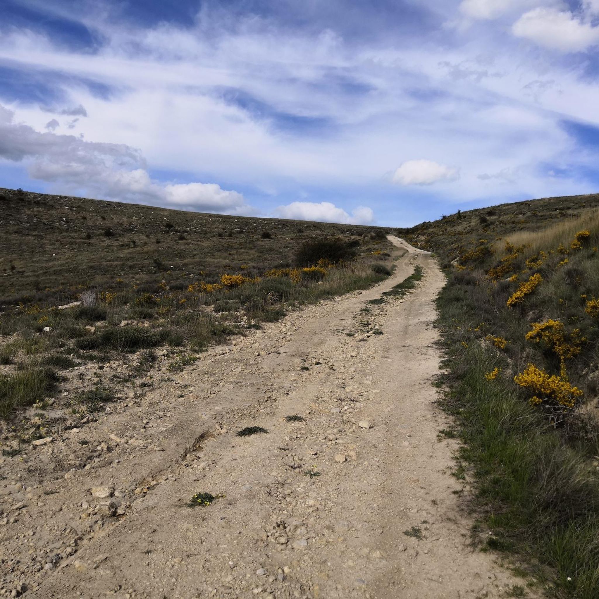
Hiking around Villasandino primarily takes you across the expansive plains of the Meseta, offering vast, uninterrupted views and a sense of solitude. The region also features unique topographical elements, such as the 'fold in the meseta' near Hontanas, and winding valleys carved by rivers, providing a diverse natural experience.
Are there any historical landmarks or attractions to see while hiking?
Yes, the area is rich in history, especially due to its connection to the Camino Francés. A notable landmark is the Ruins of the Monastery of San Antón, a 14th-century site whose archways span the Camino itself. You can also find the Convent of San Antón nearby, and the charming town of Hontanas, a Site of Cultural Interest, offers the Church of the Immaculate Conception and natural springs.
Are there any circular hiking routes in the Villasandino area?
Yes, several circular routes are available. For a moderate challenge, consider the Alto de Mostelares — circular from Castrojeriz, which is 11.8 km long. Another option is the View of Castrojeriz – Entrance to Castrojeriz loop from Hontanas, a 16.1 km moderate trail.
What do other hikers say about the trails around Villasandino?
The hiking trails around Villasandino are highly rated by the komoot community, with an average score of 4.2 stars from over 40 reviews. Hikers often praise the sense of solitude on the Meseta plains, the historical significance of the Camino Francés, and the unique natural features like those found near Hontanas.
Are there any easy hiking options suitable for beginners?
Absolutely. There are 4 easy trails in the area. A great option for beginners is the Castrojeriz Castle and Santa María del Manzano Loop, which is 6.4 km long and typically takes under 2 hours to complete, exploring historical sites.
Can I find viewpoints with scenic vistas on the trails?
Yes, the expansive Meseta landscape offers many opportunities for wide views. The town of Hontanas itself provides a 'romantic landscape' due to its unique setting. You can also find specific viewpoints such as the View of Hontanas, which offers picturesque vistas of the area.
Are there any longer, more challenging hikes for experienced trekkers?
For those seeking a more challenging experience, there is one difficult route available. The Castrojeriz – Alto de Mostelares Viewpoint loop from Castrojeriz is a 21.4 km trail with significant elevation gain, typically taking over 6 hours to complete.
What is the significance of the Camino Francés in this region?
Villasandino is situated within the sphere of influence of the Camino Francés, a historic pilgrimage route. This means many local trails either follow sections of the Camino or are closely connected to its cultural and historical significance, offering hikers a chance to experience part of this famous path.
Are there any trails that pass through towns or villages where I can find services?
Yes, some routes, particularly those connected to the Camino Francés, pass through charming villages. Hontanas, for example, is a Site of Cultural Interest that offers services like albergues and bars, making it a welcoming stop for hikers on longer treks. The View of Castrojeriz – Entrance to Castrojeriz loop from Hontanas is one such route.
What are the natural features that define the hiking experience in Villasandino?
The hiking experience in Villasandino is defined by the vast Meseta plains, offering a unique sense of openness. You'll also encounter the distinctive topography around Hontanas, characterized by a 'fold in the meseta' and natural springs. The wider Burgos province also features narrow gorges and deep valleys carved by rivers, contributing to a varied natural environment.
Most popular attractions around Villasandino

Get inspired with the komoot mobile app


Explore more
Browse the best Hikes in other regions.
