The 13 Most Amazing Peaks around Bargota
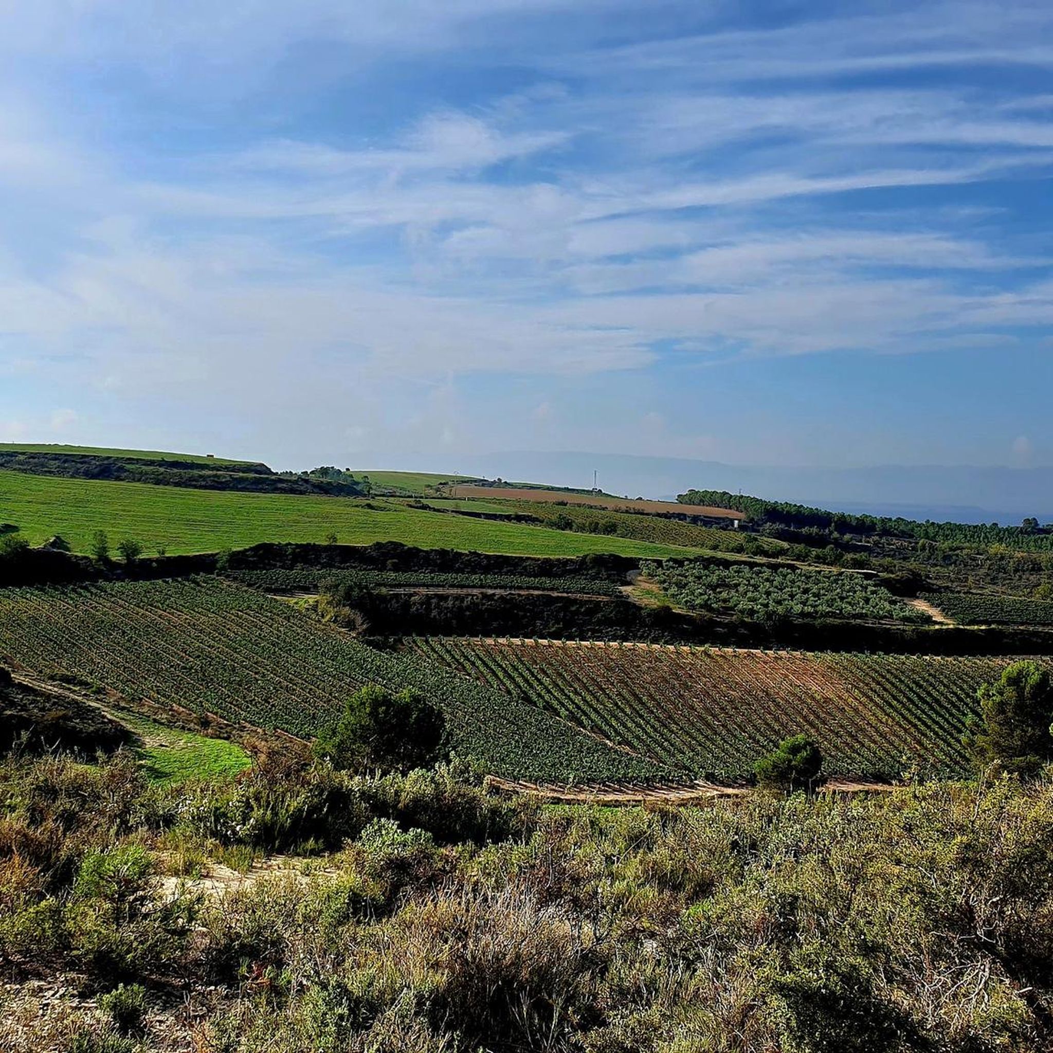
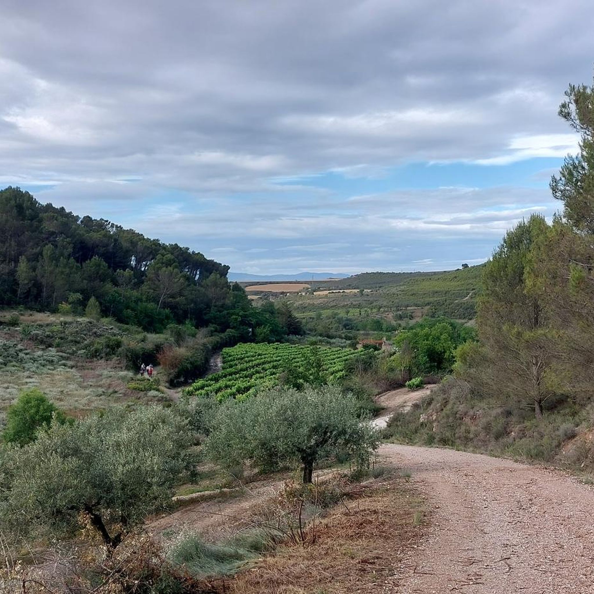
Best mountain peaks around Bargota are found within a landscape of rolling hills, ravines, and elevated terrain in Navarra, northern Spain. The municipality's average elevation ranges from approximately 507 to 591 meters, with the highest point reaching about 859 meters. This area offers an immersive experience in a scenic, hilly environment, featuring rich oak forests and established trails. Visitors can explore diverse routes for hiking and mountain biking amidst a tranquil natural backdrop.
Best mountain peaks around Bargota
- The most…
Last updated: June 29, 2026
Costalera
Highlight • Summit
Translated by Google •
Tip by

Joar Summit (1,414 m)
Highlight • Summit
Translated by Google •
Tip by
Sign up now to discover places like this
Get recommendations on the best single tracks, peaks, & plenty of other exciting outdoor places.
Sign up for free
La Plana Summit (1,338 m)
Highlight • Summit
Translated by Google •
Tip by

Las Cuatro Tetas
Highlight • Summit
Translated by Google •
Tip by

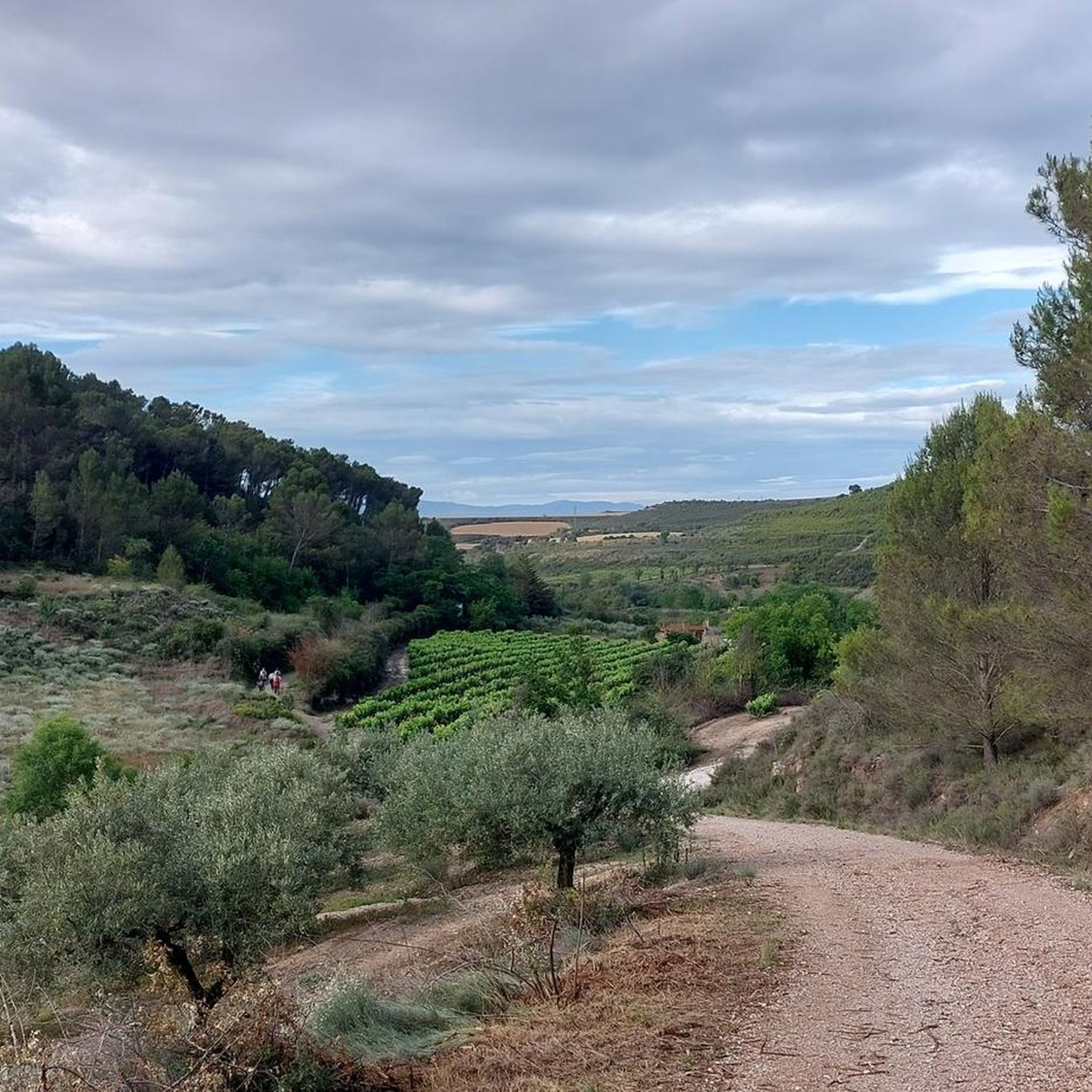
View from La Llana
Highlight • Viewpoint
Translated by Google •
Tip by
Sign up for free to discover even more peaks around Bargota.
Sign up for free
Already have an account?
Start today with a free account
Your next adventure awaits.
Login or Signup

Tips from the Community

In La Llana, you must directly cross the GR-1 Historic Trail and climb the path that seeks the second summit of the mountain range. Before entering the beech forest, it passes close to the edge of the stone bell towers and offers good views of the Ribera de Navarra and the Rioja Baja, in the Ebro valley. The path is deceptive; it seems to seek the ridge of the mountain but maintains a path at altitude on the north face, even making small descents to adjust to the terrain, until it finally climbs to the ridge of the mountain and passes by the sculpture of La Plana (1,338 m). Just as the Joar mailbox has a colorful tree, mountaineers, flowers, animals and other curiosities. The path continues along the plain of the summit to the east, the meadows abound with clumps of eguzkilore, the witch-repelling thistles that are placed at the doors of houses. The trail reaches a milestone at the eastern end of the plateau and changes course to begin the descent south along the ridge of the mountain.
0
0
The route follows the red and white GR-1 markings to the plain of La Llana Pass. At several points, other trails appear, but they are shortcuts, variants, or detours to different parts of the mountain range. The path is easy to follow despite the steep slope and the loose stone scree. The trail passes near the impressive limestone tower of Peña de los Cencerros and continues toward the mouth of the two prominent peaks of the mountain range at the entrance to the La Llana plateau. At the GR-1 marker, a path leads off to each side, and the Historic Trail continues straight ahead to Santa Cruz de Campezo. The climb to the summit of Joar begins along the path on the left, first through bushes and then through a welcoming beech forest nestled in the limestone slope of the mountain's north face. These unique forests are isolated near the peaks and are the southernmost beech forests in Navarre.
0
0

One of the emblematic peaks of the area, a joy of views.
0
0

Reach the top of Costalera at 1234 meters above sea level. It is not an easy task and it is not suitable for people who are just starting out in mountain hiking. The last km from Pena Gallet or from Portillo de Nazar are technical and you must go very carefully and with a firm step. The views are amazing but if you feel that the path is very complicated, don't risk it, stay with the views from a little further down, which are also very beautiful!
2
0
Simply amazing postcards from the top of Joar at more than 1400 meters above sea level. To get here you can take alternative paths of greater or lesser degree of difficulty depending on your preference, in any case the route is very picturesque.
3
0
In my opinion, this peak is NOT worth it: coming from Peña Gallet (from Costalera Occidental only for expert climbers), or you go through the cliff (too aerial for my taste) or you go "as you can", many times making your way between the tall bushes. At the end you have to make a small climb, not very complicated, but then you see that to get to the mailbox (just a few meters), you have to go down a bit and make another climb, dangerous in my opinion, which I did not do.
2
1

Technical climb, with an acceptable slope, if you know, the path of the 2 tits next to Lardero, this will not disappoint you, it is her older sister.
0
0
Frequently Asked Questions
What types of mountain peaks and elevated areas can I explore around Bargota?
While Bargota is characterized by rolling hills and elevated terrain rather than towering summits, the region offers several notable peaks and viewpoints. You can explore areas like Joar Summit (1,414 m), known for its picturesque views, or the more challenging Costalera. The area also features natural monuments such as La Plana Summit (1,338 m), offering expansive views of the Ribera de Navarra and the Rioja Baja.
Are there challenging mountain peaks for experienced hikers near Bargota?
Yes, for experienced hikers seeking a challenge, Costalera is a notable option. Reaching 1234 meters above sea level, the final kilometer to the top involves technical sections that require careful footing. Another peak, Las Cuatro Tetas, also offers a technical climb with an acceptable slope.
What are the best viewpoints to experience the landscape around Bargota?
The region offers several excellent viewpoints. From Joar Summit (1,414 m), you can enjoy amazing postcards from over 1400 meters above sea level. La Plana Summit (1,338 m) provides good views of the Ribera de Navarra and the Rioja Baja. Additionally, the northern part of Bargota, particularly from locations like El Portillo, offers expansive panoramas of the nearby Sierra del Yoar.
What kind of natural features can I expect to see when exploring the elevated areas of Bargota?
Bargota's elevated terrain features a diverse natural landscape. You'll encounter the 'Quejigal,' a forest predominantly composed of oak (Quercus faginea) with an undergrowth of scrub oak and juniper. The area is also characterized by numerous ravines and small rivers like the Mariñanas. From viewpoints such as View from La Llana, you can observe impressive limestone towers and, depending on the season, beech forests, which are among the southernmost in Navarre.
Are there hiking trails available near the mountain peaks of Bargota?
Yes, Bargota offers a network of trails suitable for hiking. For instance, the Sendero 1 guides visitors through the Quejigal de Bargota, an easy 13.8-kilometer trail. For more extensive options, you can find various routes in the Hiking around Bargota guide, including moderate and difficult trails like the 'Joar & Grudo - circular along the Historic Trail of Navarra' or the 'Grudo – Joar Summit (1,414 m) loop'.
What other outdoor activities can I do near the elevated areas of Bargota besides hiking?
Beyond hiking, Bargota is an excellent destination for mountain biking (BTT) and gravel biking. The region's varied landscape, including forests, hills, vineyards, and 'badlands,' provides diverse routes. You can explore options in the MTB Trails around Bargota guide or the Gravel biking around Bargota guide, which feature routes of varying difficulty.
What is the highest point within the municipality of Bargota?
While the region is known for its rolling hills, the highest point within the municipality of Bargota itself reaches approximately 859 meters above sea level. However, nearby peaks like Joar Summit are significantly higher, at 1,414 meters.
What do visitors particularly enjoy about the mountain peaks and elevated areas around Bargota?
Visitors appreciate the picturesque views offered from the summits, such as the 'simply amazing postcards' from Joar Summit. The diverse routes, ranging from intermediate to challenging, and the tranquil natural backdrop, including rich oak forests and scenic viewpoints, are also highly valued. The komoot community has highlighted the appeal of the area with numerous photos and upvotes.
Are there any specific trails that offer a comprehensive experience of Bargota's landscape?
Yes, the 'Integral de Bargota' is a longer route covering 33.7 kilometers with an 810-meter elevation gain. This route combines various sections, offering comprehensive views of the Quejigal de Bargota and vistas from El Portillo, providing a thorough appreciation of the local flora and fauna and the region's undulating landscape.
What is the typical elevation range in Bargota?
The average elevation of Bargota ranges from approximately 507 to 591 meters above sea level. The landscape is characterized by rolling hills, ravines, and elevated terrain, with the highest point within the municipality reaching about 859 meters.
Can I find any natural monuments among the peaks near Bargota?
Yes, La Plana Summit (1,338 m) is recognized as a natural monument. Joar Summit (1,414 m) is also considered a natural monument, offering significant natural beauty and panoramic views.
Most popular routes around Bargota
Most popular attractions around Bargota

Get inspired with the komoot mobile app


Explore more
See even more amazing summits around Bargota with these guides:
