The best running trails around El Pinar
3.6
(20)
939
runners
93
runs
Jogging routes around El Pinar, located on El Hierro in the Canary Islands, traverse a landscape shaped by volcanic activity and dense pine forests. The region offers varied terrain, from mountainous paths to coastal views, providing diverse running experiences. Runners can explore trails through extensive pine forests and past unique volcanic formations. The area's natural features create a compelling environment for outdoor activities.
Best jogging routes around El Pinar
- The most popular jogging route is Bordaila - Acequia Nueva Trail…
Last updated: October 14, 2026
42
runners
21.6km
03:15
1,130m
1,130m
Hard run. Very good fitness required. Mostly paved surfaces. Suitable for all skill levels.
24
runners
Hard run. Very good fitness required. Mostly paved surfaces. Suitable for all skill levels.

25
runners
13.9km
01:40
290m
290m
Moderate run. Good fitness required. Mostly paved surfaces. Suitable for all skill levels.
19
runners
11.1km
01:29
460m
450m
Hard run. Very good fitness required. Mostly paved surfaces. Suitable for all skill levels.
17
runners
7.94km
00:52
130m
130m
Moderate run. Good fitness required. Mostly paved surfaces. Suitable for all skill levels.
Get access to more routes and recommendations from other explorers.
Already have an account?
Our route recommendations are based on thousands of hikes, rides, and runs completed by other people on komoot.
Start today with a free account
Your next adventure awaits.
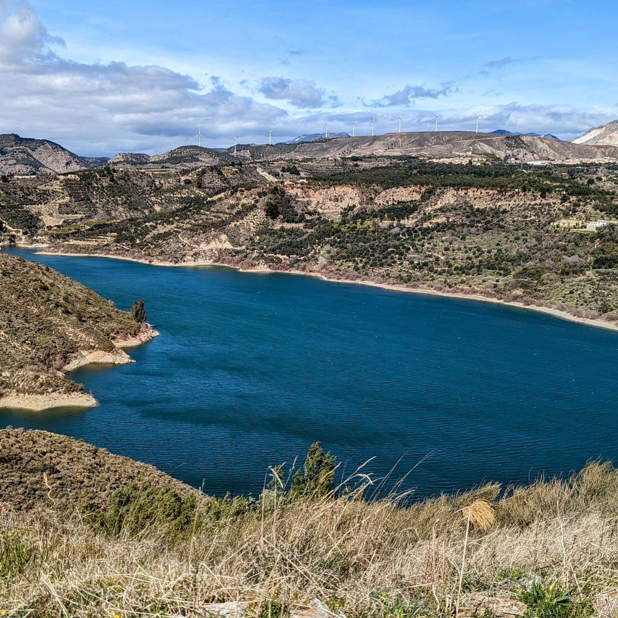
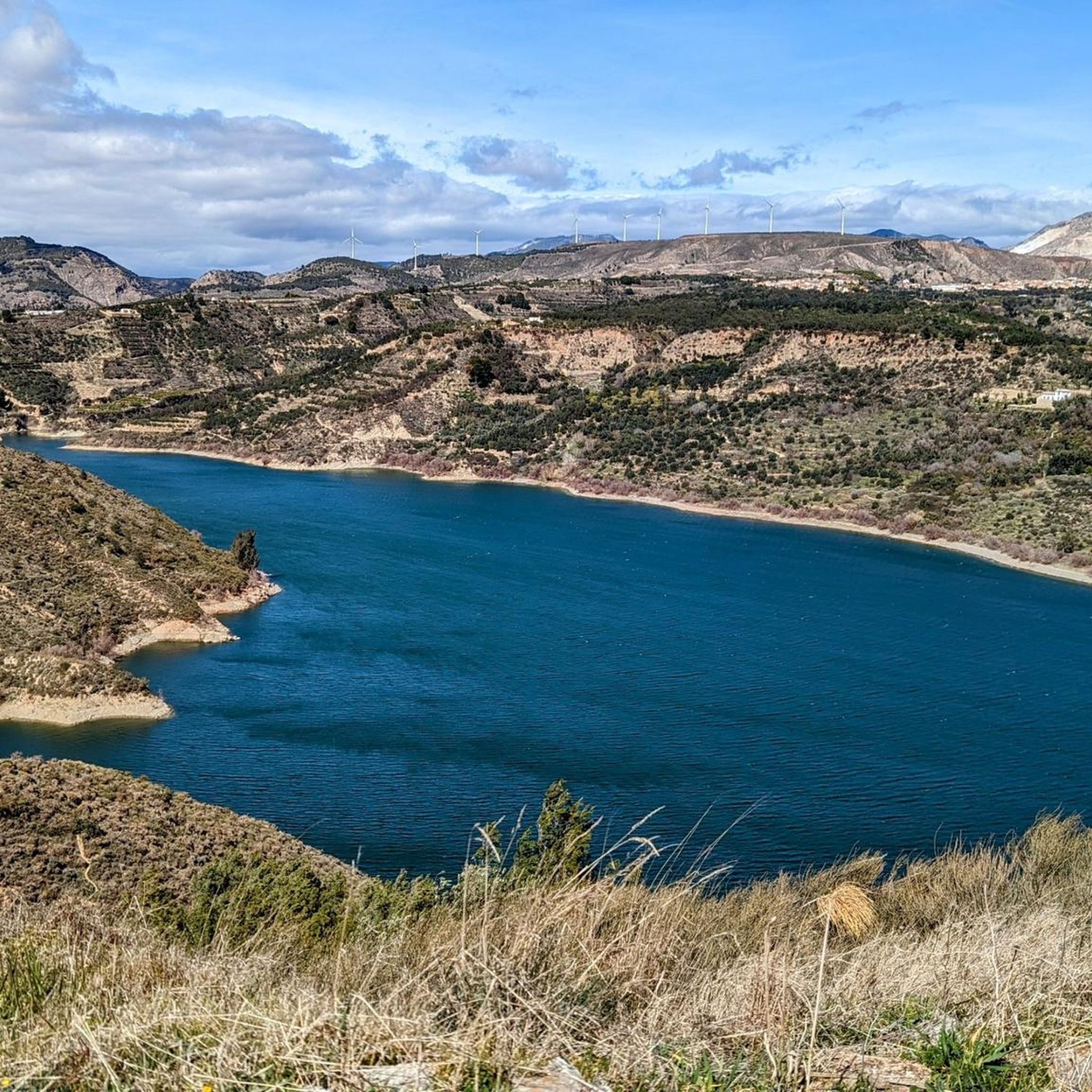
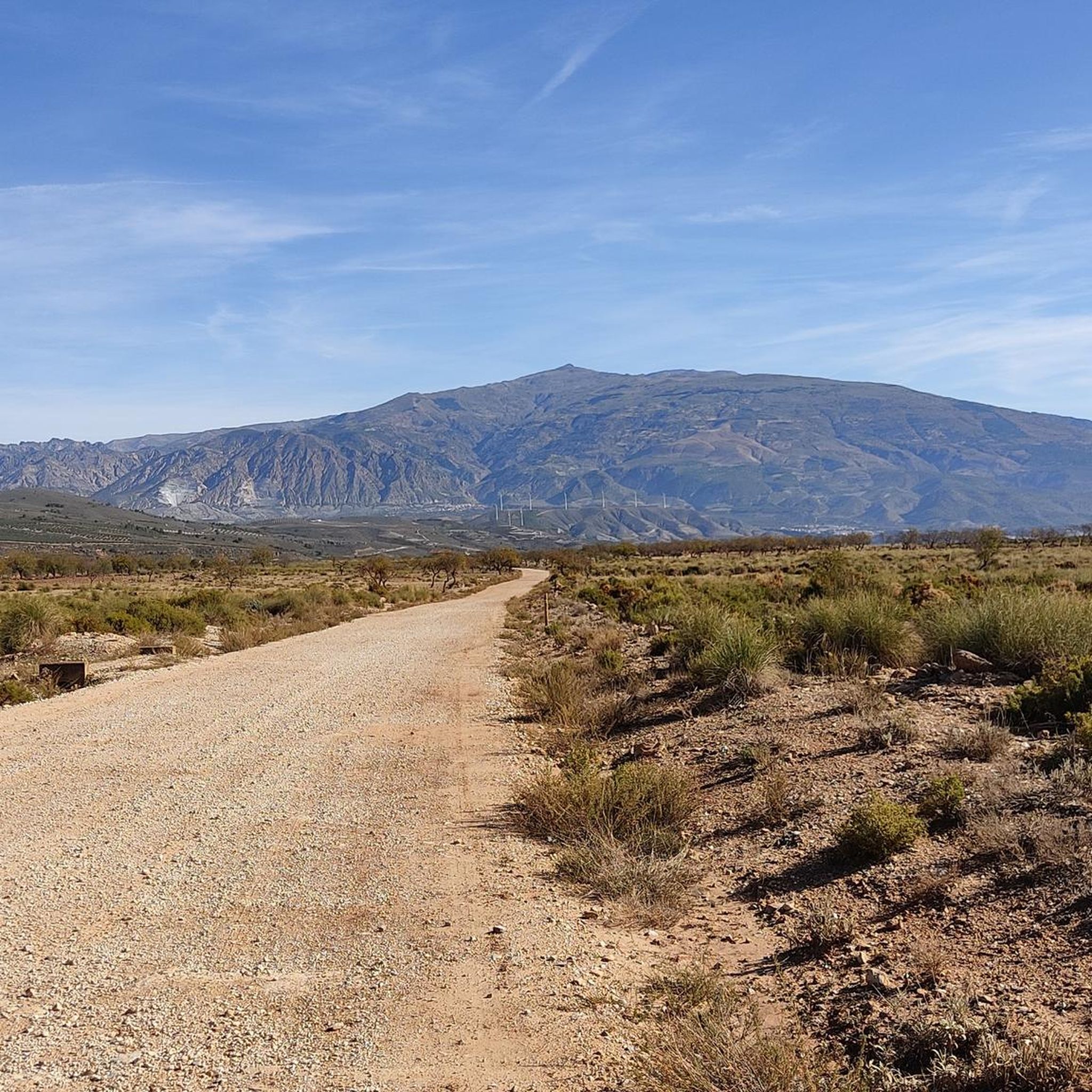
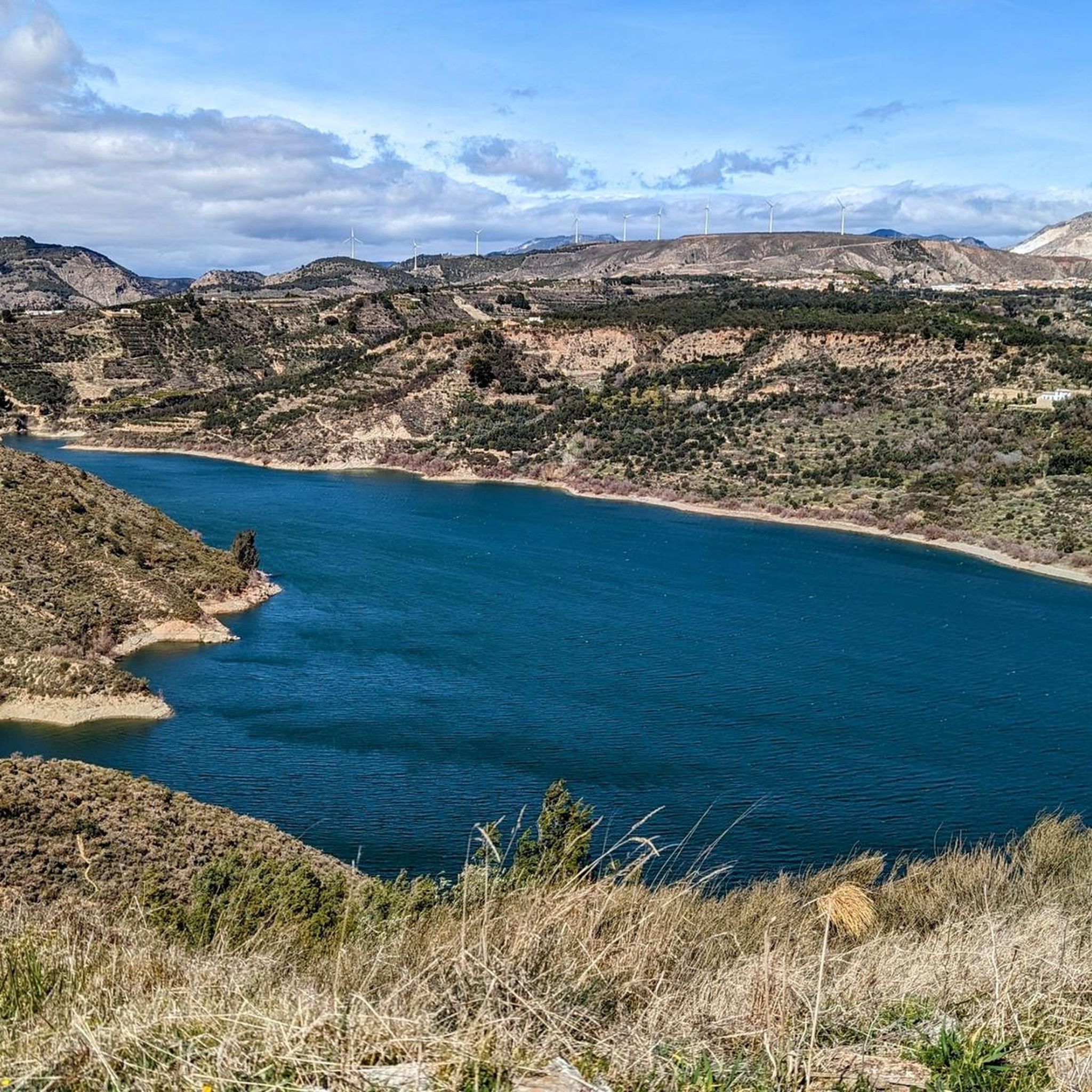

Tips from the Community

Experiences from November 2025: Access to the river from both sides is blocked and clearly marked with prohibition signs! At the marked location, there is a narrow bridge without railings. There is no sign of the waterfall or the attractive wooden bridge with railings shown in the photos by "expert" Oliver! The circular routes indicated under this trail are therefore completely unusable if you adhere to the prohibitions and barriers! We had to turn back and, unfortunately, retrace our steps. Very frustrating!
1
0


Beautiful walk in a beautiful environment! The description says easy, but there are some pretty tough climbs.
0
0

Small white mountain village. The landscape is a great area, the asphalt here is good to decent and there is very little traffic.
0
0
Viewpoint of the village. Mostly very windy, nothing special.
2
0

Throughout the Sierra Nevada there is a spectacular traditional system of irrigation ditches. It is one of the largest and best preserved in Spain. In total, the irrigation ditches of this mountain range add up to more than 550 kilometers.
1
0

A wonderful place to relax.
0
0
This is one of the most beautiful places in Lanjarón. Here you will find one of the town's famous fountains.
2
0
Frequently Asked Questions
What kind of terrain can I expect on the running trails in El Pinar?
El Pinar, located on El Hierro, offers a diverse landscape for running. You'll find trails traversing lush pine forests, unique volcanic formations, and mountainous paths. The region's volcanic origin means some routes feature rugged terrain, while others offer serene, shaded environments through the extensive forests.
Are there easy running routes available for beginners in El Pinar?
Yes, El Pinar offers a variety of running routes suitable for different ability levels. While many trails are moderate to difficult, there are 5 easy routes available, perfect for beginners or those looking for a less strenuous run. Overall, there are 57 routes to choose from, ensuring options for everyone.
What natural landmarks can I see while running in El Pinar?
El Pinar is rich in natural beauty. You can explore areas like El Lajial, known for its unique volcanic formations, or the iconic El Sabinar with its wind-sculpted juniper trees. Many trails also offer stunning coastal views and pass through the extensive pine forests that give the region its name. For specific natural attractions, consider visiting the Barranco de la Luna Gorge or the Lanjarón River Waterfall.
Are there any historical sites or castles near the running paths?
Yes, you can combine your run with a visit to historical sites. For example, the Lanjarón Castle Ruins are a notable historical landmark in the vicinity. Other nearby historical points of interest include El Castillejo Fortress and Lojuela Castle.
What is the best time of year for jogging in El Pinar?
El Pinar enjoys pleasant temperatures throughout the year, making it an appealing destination for jogging in any season. The lush pine forests provide shade, which can be particularly welcome during warmer months, while the diverse landscapes offer scenic backdrops regardless of the time of year.
Are there running routes with good viewpoints in El Pinar?
Absolutely. El Pinar is dotted with exceptional viewpoints that offer rewarding destinations for a challenging run or a scenic break. Miradores like Las Playas and Tanajara provide breathtaking panoramic views of the island's vast pine forests, steep cliffs, and the Atlantic Ocean. Many routes will naturally lead you to elevated spots with great vistas.
How long are the running trails typically in El Pinar?
The running trails in El Pinar vary significantly in length. You can find shorter routes for a quick jog, as well as longer, more challenging paths. For instance, the Bordaila - Acequia Nueva Trail is about 9.5 km (5.9 miles), while the Acequia Montalbán – Lanjarón River loop from Lanjarón extends to 21.1 km (13.1 miles).
Are the running routes in El Pinar suitable for families?
While many routes in El Pinar are rated moderate to difficult due to elevation changes and varied terrain, there are 5 easy routes that could be more suitable for families looking for a gentle run or walk. It's always recommended to check the specific route details for distance and elevation to ensure it matches your family's fitness level.
What do other runners enjoy about the trails in El Pinar?
The running routes in El Pinar are highly rated by the komoot community, with an average score of 3.1 stars from over 9 reviews. Runners often praise the diverse terrain, from the extensive pine forests offering shaded paths to the unique volcanic landscapes and stunning coastal views. The variety of challenges, from moderate to difficult, is also a frequently appreciated aspect.
Are there circular running routes available in El Pinar?
Yes, El Pinar offers several circular running routes. For example, the Hermitage of the Tajo de la Cruz – Lanjarón River loop from Lanjarón is a challenging 18.4 km (11.4 miles) loop, and the Placeta de Santa Ana – Lanjarón loop from Lanjarón offers a moderate 7.8 km (4.8 miles) option. These loops allow you to start and finish in the same location, providing convenience.
How many running routes are there in El Pinar?
There are over 50 running routes around El Pinar listed on komoot, with a total of 57 tours available. This includes 5 easy routes, 33 moderate routes, and 19 difficult routes, offering a wide range of options for all experience levels.
What are some of the more challenging running trails in El Pinar?
For experienced runners seeking a challenge, El Pinar has several difficult routes. The Bordaila - Acequia Nueva Trail is a difficult 9.5 km (5.9 miles) route with significant ascents. Another demanding option is the Lanjarón River loop from Lanjarón, which spans 15.9 km (9.9 miles) with considerable elevation changes.
Most popular attractions around El Pinar

Get inspired with the komoot mobile app


Explore more
Browse the best Running Trails & Routes in other regions.
