The best walks and hikes around Almatret
4.4
(37)
161
hikers
37
hikes
Hiking around Almatret offers a diverse landscape characterized by rolling hills, river valleys, and reservoir views. The region features trails that traverse agricultural lands, lead along the banks of the Río Ebro, and ascend to viewpoints over the surrounding terrain. These paths provide opportunities to explore the natural environment and historical sites. The area's topography includes moderate elevation changes, making it suitable for various hiking experiences.
Best hiking trails around Almatret
- The most popular hiking route is Views of the…
Last updated: June 24, 2026
4.5
(4)
11
hikers
14.1km
04:07
390m
390m
Moderate hike. Good fitness required. Easily-accessible paths. Suitable for all skill levels.
3.5
(2)
7
hikers
9.57km
02:41
180m
180m
Moderate hike. Good fitness required. Easily-accessible paths. Suitable for all skill levels.

Sign up for free
5.0
(2)
3
hikers
14.5km
04:10
330m
330m
Moderate hike. Good fitness required. Easily-accessible paths. Suitable for all skill levels.
Moderate hike. Good fitness required. Easily-accessible paths. Suitable for all skill levels.
5.0
(2)
16
hikers
13.0km
03:39
260m
260m
Moderate hike. Good fitness required. Easily-accessible paths. Suitable for all skill levels.
Get access to more routes and recommendations from other explorers.
Sign up for free
Already have an account?
Our route recommendations are based on thousands of hikes, rides, and runs completed by other people on komoot.
Start today with a free account
Your next adventure awaits.
Login or Signup

Tips from the Community

From the Pont de la Barca, there are beautiful views (especially on sunny days, not on rainy ones!) of the town of Riba-roja d'Ebre, perched on the banks of the Ebro River. Unfortunately, the photos are rather dull!
1
0

There is no doubt that Iberians and Romans inhabited these lands and must have occupied and fortified this strategic location. In the 8th century, the site was an Arab defensive tower, built by the Berber tribe of the Miknasa, who gave the city its name. The current toponym Mequinenza is probably evident from the name. Since then, the strategically located fortress has been the center of many battles and conquests. It is now owned by a foundation and can only be visited by appointment
0
0

The Plaça d'armes Life in the city of Mequinensa is unimaginable without visiting the Plaça d'Armes. This aspect, which has previously been used by soldiers to carry out military exercises, will continue to be used for many years to come. a shout of joy. The main festival and concerts of the Poble Band are scheduled to end in this central square, obligatory for all Mequinenses
10
0

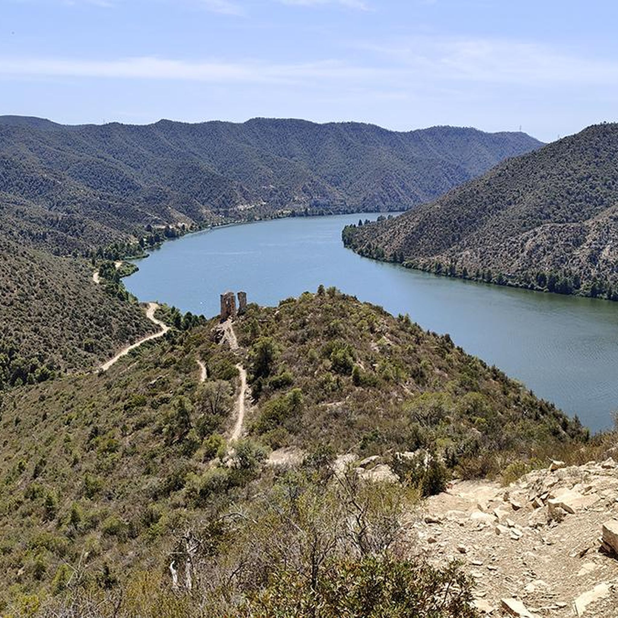
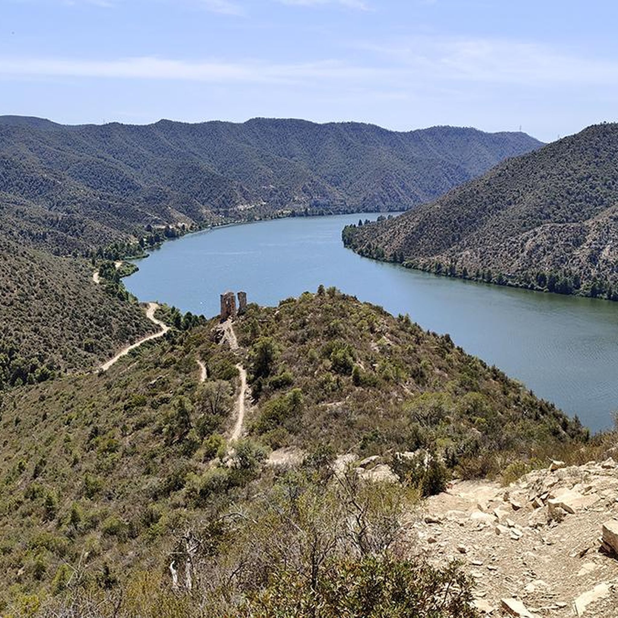
From this point on the path you can see the Puntal dels Escambrons and in the background, the town of Riba-roja d'Ebre. Good views of the border area between both provinces.
0
0

It looked great from far below. Unfortunately, when we got to the top, we discovered that the gate was locked. We should have gotten a permit from the town hall. Nevertheless, we enjoyed a little bit of the surrounding area with fantastic views
1
0

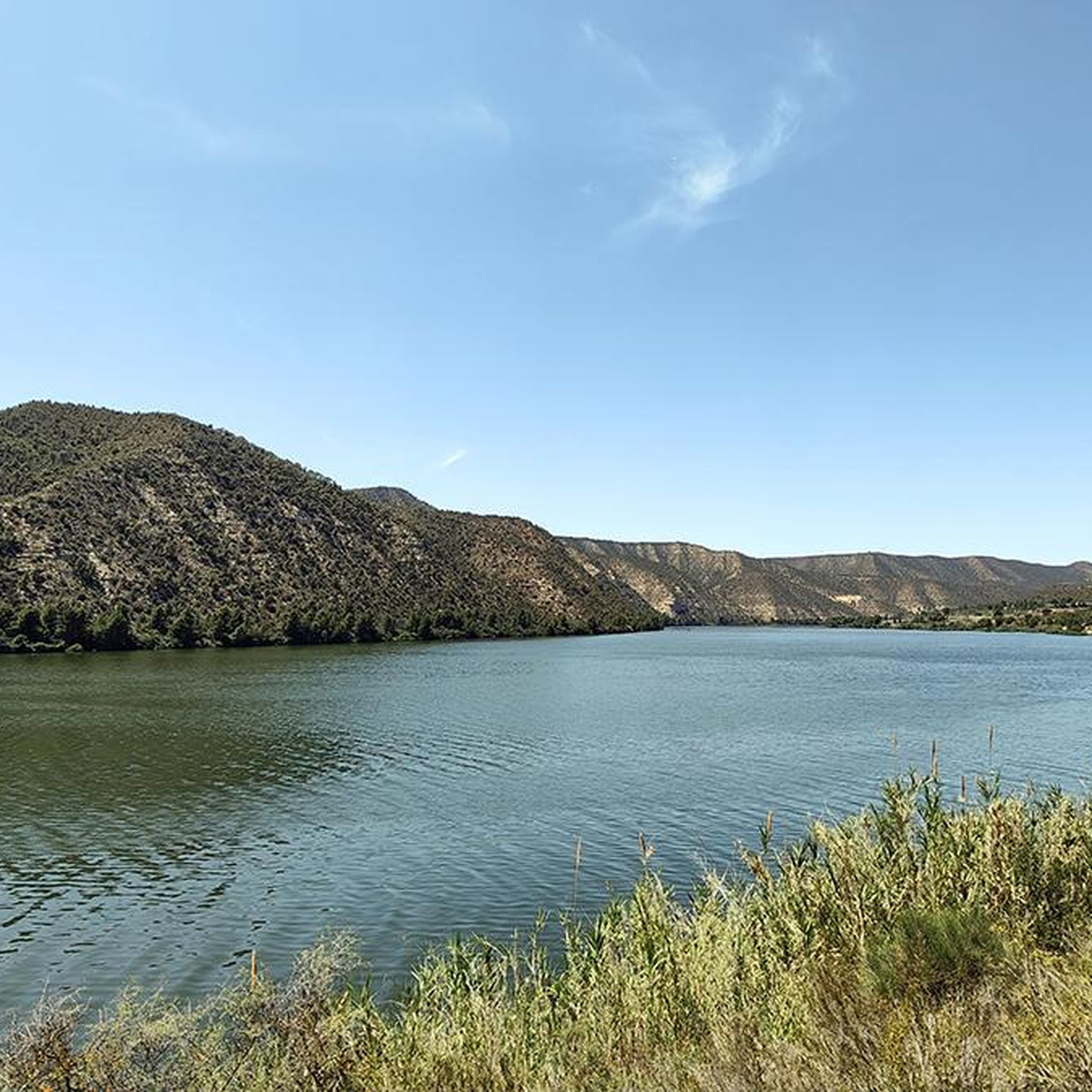
Riba-roja d'Ebre is a municipality in the province of Tarragona located on the banks of the Ebro river and very close to the Riba-roja reservoir, which extends into Aragonese territory.
1
0
Border with the province of Zaragoza appears this town located in the Sierra de les Deveses and with the border of the river Ebro on its west side.
0
0
The Town Well is located near Camí de les Plaines dels Quadrats. It is a different bridge to the one we normally find, which is said to be from the Saracen period. There are stairs that take you directly to the water's feet.
0
0
Frequently Asked Questions
How many hiking trails are available around Almatret?
Almatret offers a wide selection of routes, with over 25 hiking trails to explore. These range from easy strolls to more challenging treks, catering to various fitness levels.
Are there any easy or family-friendly hiking options in Almatret?
Yes, Almatret has several easy routes suitable for families. There are 7 trails classified as easy, often featuring gentle terrain along riverbanks or through agricultural lands. These are great for a relaxed outing.
Can I find circular hiking routes in the Almatret area?
Absolutely. Many of the trails around Almatret are circular, allowing you to start and end at the same point. For example, the Sierra de la Devesa y vistas del Puntal dels Escambrons — circular desde Almatret offers a moderate loop with scenic views.
What kind of views can I expect on the hiking trails around Almatret?
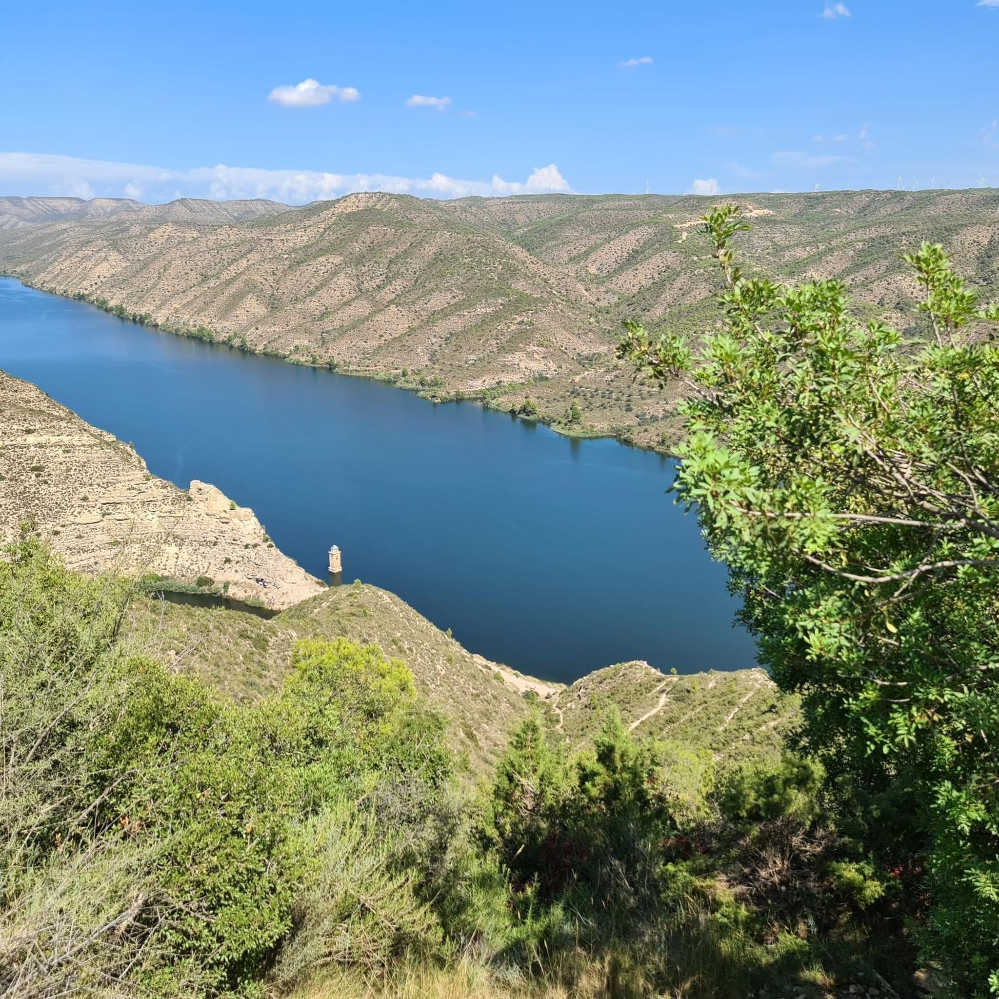
The region is known for its diverse scenery, including rolling hills, river valleys, and expansive reservoir views. Trails often traverse agricultural lands and ascend to viewpoints. The Views of the Reservoir from Montnegre — circular from Montnegre route is particularly noted for its panoramic reservoir vistas.
Are there any challenging hikes for experienced trekkers?
While most routes are moderate, Almatret does offer a couple of more challenging hikes for those seeking a greater adventure. These trails typically involve more significant elevation changes and longer distances.
What are some interesting landmarks or attractions to see near the trails?
The area around Almatret is rich in history and natural beauty. You can explore sites like the Old Village of Mequinenza, the Old Church Tower of Fayón, or the Bridge over the Ebro in Mequinenza. The route Aiguabarreig and Castillo de Mequinenza — circular passes by the historic Castillo de Mequinenza.
What do other hikers enjoy most about the trails in Almatret?
The trails in Almatret are highly rated by the komoot community, with an average score of 4.4 stars from over 30 reviews. Hikers often praise the varied terrain, the peaceful riverbank paths, and the scenic views of the reservoirs and surrounding hills.
Is Almatret suitable for dog-friendly hiking?
Yes, the natural landscapes and open trails around Almatret are generally suitable for hiking with dogs. Many paths traverse rural areas and riverbanks, providing ample space for your canine companion. Always ensure your dog is under control and respect local wildlife and agricultural areas.
What is the best time of year to go hiking in Almatret?
The best times to hike in Almatret are typically spring (March to May) and autumn (September to November). During these seasons, the weather is mild and pleasant, making for comfortable hiking conditions. Summers can be very hot, and winters are generally mild but can be damp.
Are there trails that follow the Río Ebro?
Yes, you can find trails that lead along the banks of the Río Ebro, offering unique perspectives of the river and its surrounding ecosystem. The Sierra Campells — circular along the banks of the Río Ebro is a great option for experiencing the river up close.
Where can I find parking for the hiking trails in Almatret?
Parking is generally available near the start points of many trails, especially in or near the village of Almatret and other local access points. Look for designated parking areas or suitable roadside spots close to trailheads.
What is the typical length and duration of hikes in Almatret?
Hikes in Almatret vary in length and duration. You can find shorter routes, like the 5.9-mile (9.6 km) Aiguabarreig and Castillo de Mequinenza — circular which takes around 2.5 hours, to longer trails such as the 9.0-mile (14.5 km) Sierra Campells — circular along the banks of the Río Ebro, which can take over 4 hours.
Most popular attractions around Almatret

Get inspired with the komoot mobile app


Explore more
Browse the best Hikes in other regions.
