The best running trails around Rublacedo De Abajo
6
runners
4
runs
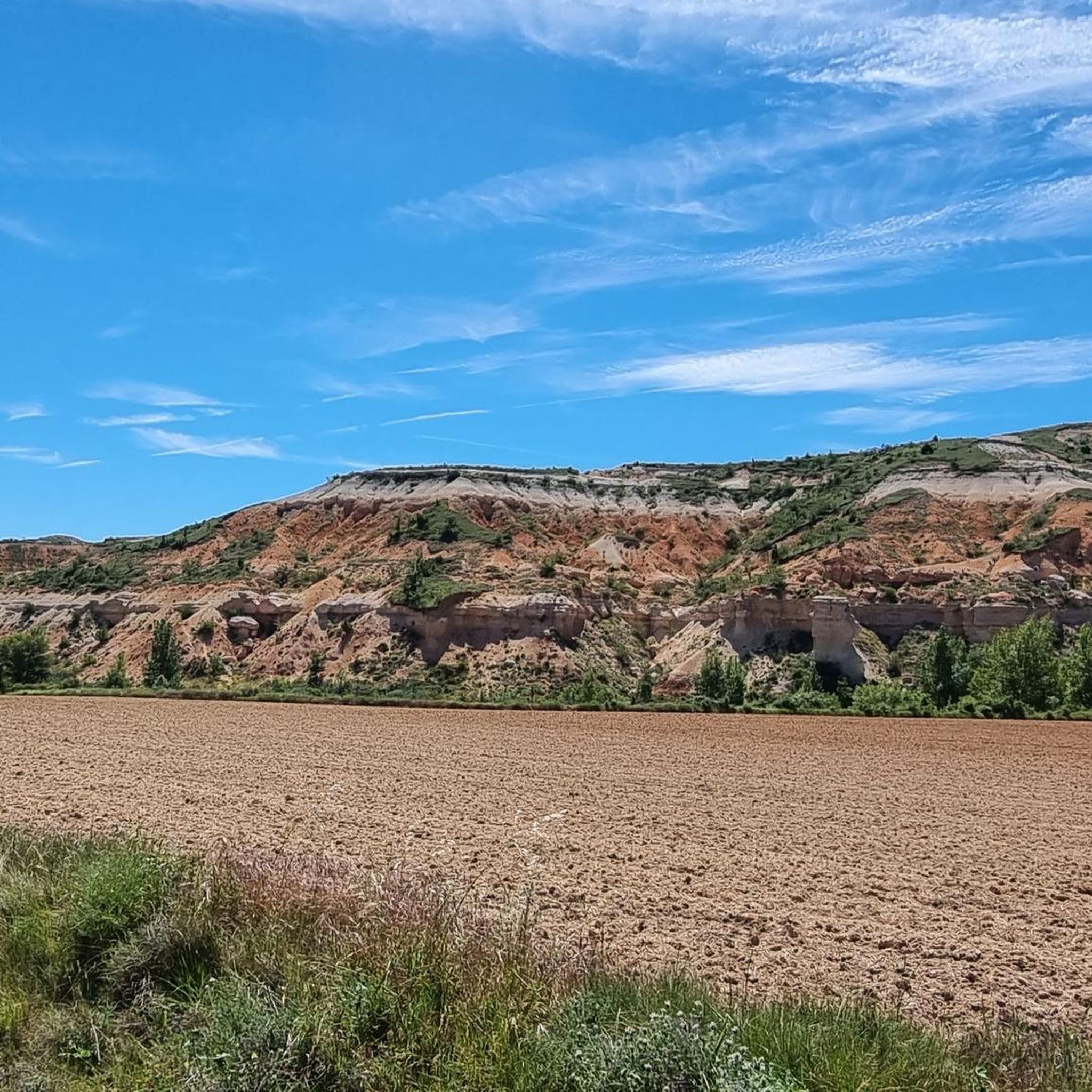
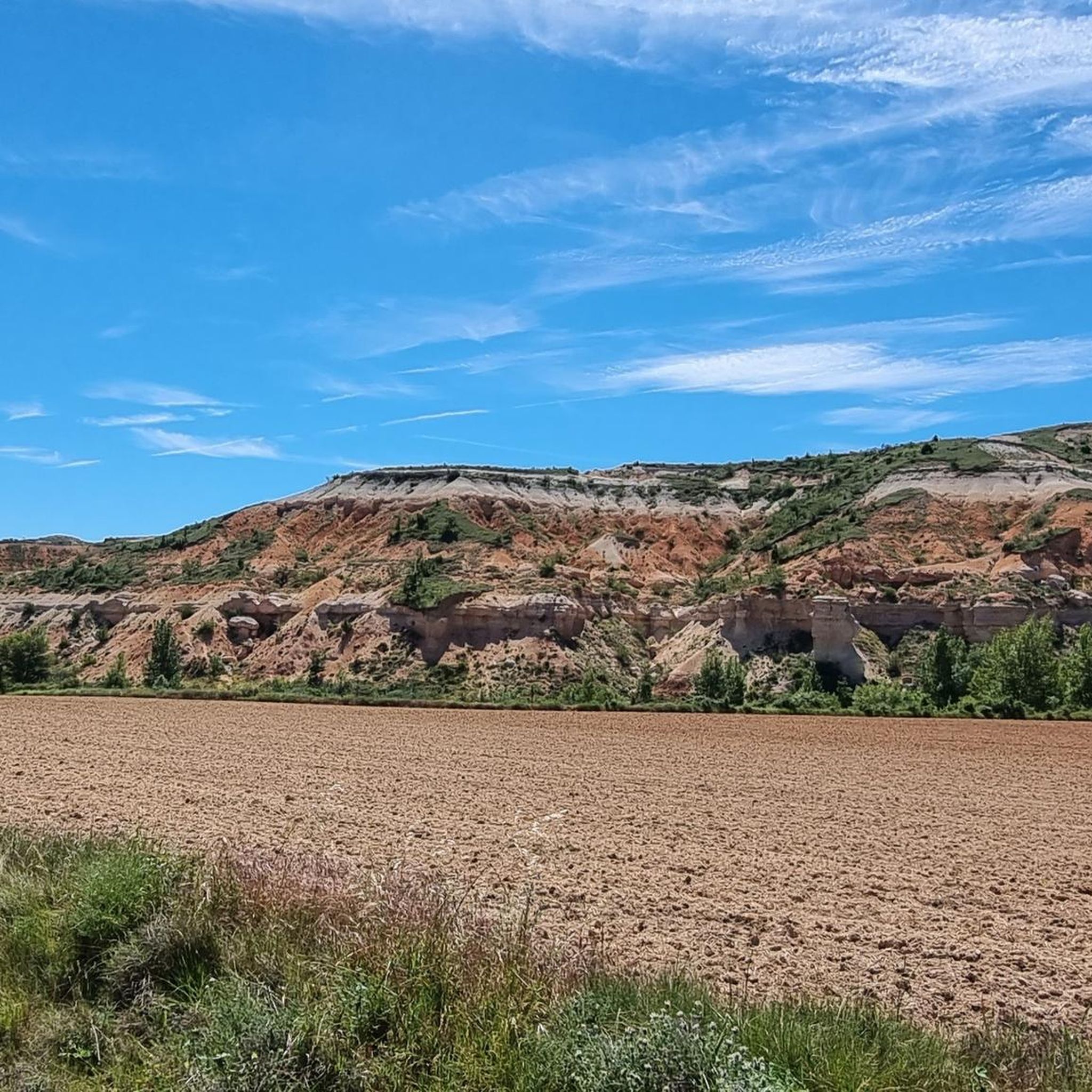
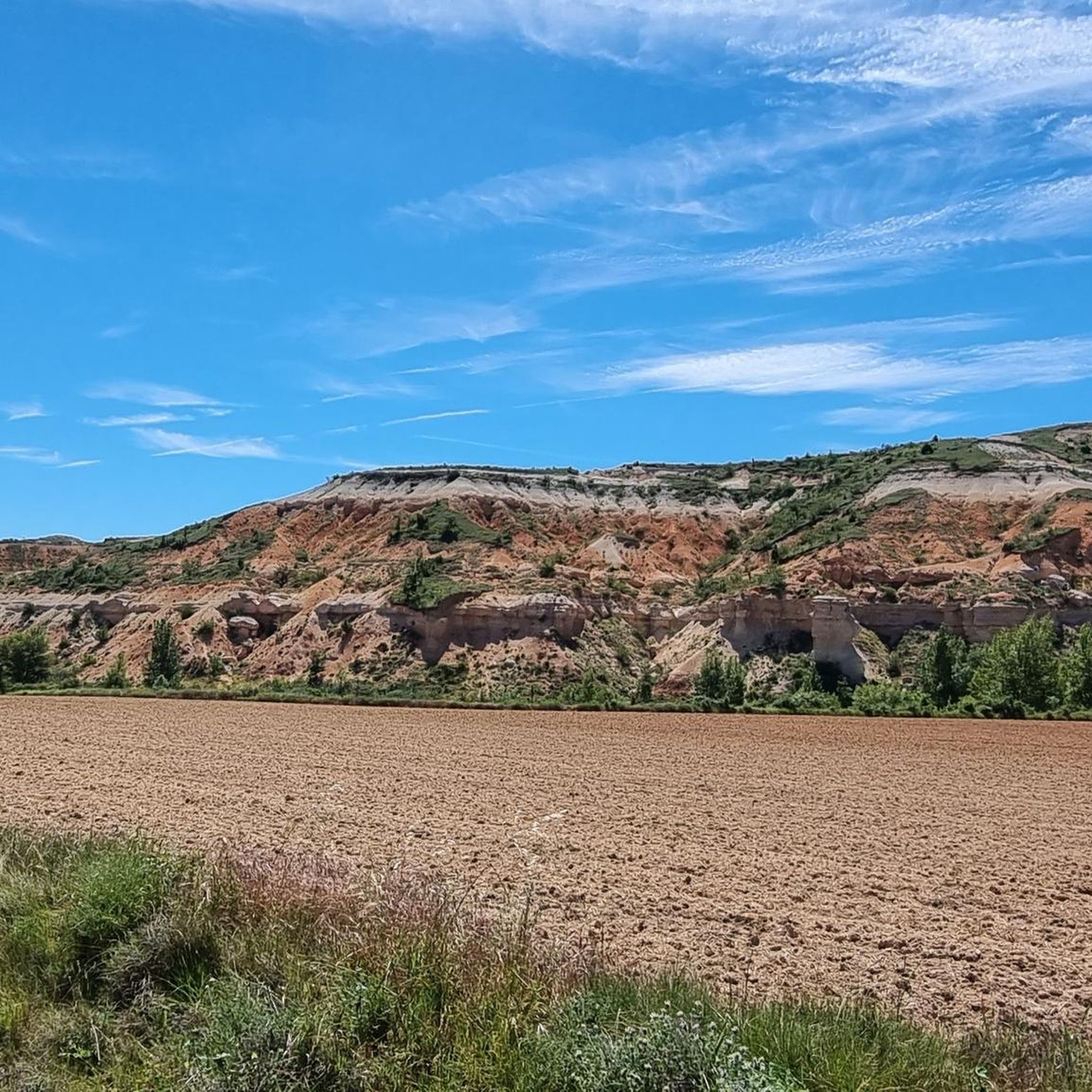
Jogging around Rublacedo De Abajo offers a diverse landscape for runners, characterized by contrasting terrain. The region features expansive páramo (moorland/plateau) areas providing open routes and panoramic views, alongside rugged cárcavas (gullies or badlands) with distinctive eroded formations. Riverine paths, such as those along the Río Zorita, and routes through small wooded areas and rural roads complete the varied environment.
Best jogging routes around Rublacedo De Abajo
- The most popular jogging route is Santorcaz and Santa Casilda Loop, a…
Last updated: July 12, 2026
2
runners
11.7km
01:35
330m
330m
This difficult 7.2-mile (11.7 km) jogging route ascends to San Torcaz from Santuario de Doña Casilda, gaining 1097 feet (334 metres).
1
runners
14.2km
01:40
300m
290m
Hard run. Very good fitness required. Mostly paved surfaces. Suitable for all skill levels.

Sign up for free
1
runners
13.8km
01:37
320m
320m
Hard run. Very good fitness required. Mostly paved surfaces. Suitable for all skill levels.
Our route recommendations are based on thousands of hikes, rides, and runs completed by other people on komoot.
Start today with a free account
Your next adventure awaits.
Login or Signup

Tips from the Community


Rodilla Monastery. Church of Saint Mary Magdalene
1
1

Just off the N-1 road you come to the Monasterio de Rodilla, a small town with a 12th century church.
1
0

Surrounded by nature, this sanctuary pays homage to Santa Casilda, a local saint. Its impressive architecture and serene atmosphere create a space conducive to reflection and devotion. Undoubtedly one of the most spectacular architectural monuments in the region.
1
0

The paths that reach the set of wells in the area are beautiful and full of nature. Paths that lead to what used to be waters with healing properties, along with the sanctuary that is a few meters away.
0
0
Starting from Briviesca and taking the local road we arrive at Revillalcón. On a rock stands the sanctuary. Below there are some springs that the people call wells and that have given their name to the sanctuary.
0
0
From the top of the peak of San Torcaz, you can see the entire panorama of the Valle de las Navas, to the west of the same mountain.
0
0

Due to popular beliefs, curative properties are attributed to the Pozo Negro de Santa Casilda. The area recovered by the Friends of Santa Casilda is the perfect place to rest for a while before going up to the Sanctuary.
3
0
Frequently Asked Questions
How many running routes are available in Rublacedo de Abajo?
There are currently 4 curated running routes around Rublacedo de Abajo available on komoot, offering a variety of experiences for joggers.
What kind of terrain can I expect on jogging routes in this region?
The region around Rublacedo de Abajo offers a diverse and contrasting landscape. You'll find expansive páramo (moorland/plateau) areas with panoramic views, rugged cárcavas (gullies or badlands) with distinctive eroded formations, and riverine paths along the Río Zorita. Routes also traverse small wooded areas and utilize wide, comfortable rural roads.
Are there any easy running routes for beginners in Rublacedo de Abajo?
While many routes in the area are rated as difficult, there is at least one moderate option available. The 'Ruta del Agua' connecting Rublacedo de Abajo and Rublacedo de Arriba, running parallel to the Río Zorita, is described as a relatively easy, circular route, making it suitable for those seeking a less challenging run.
Are there long-distance running trails in Rublacedo de Abajo?
Yes, several routes offer good distances for longer runs. For example, the Murals of Reinoso loop from Reinoso de Bureba is 14.2 km (8.8 miles) long, and the Running loop from Monasterio de Rodilla covers 13.8 km (8.6 miles).
Are there circular running routes in Rublacedo de Abajo?
Yes, many of the running options in the area are circular. The 'Ruta del Agua' is a well-known circular path, and komoot features several loop trails such as the Santorcaz and Santa Casilda Loop, the Murals of Reinoso loop from Reinoso de Bureba, and the Running loop from Monasterio de Rodilla.
Can I bring my dog on the running trails in Rublacedo de Abajo?
Generally, rural areas like Rublacedo de Abajo are welcoming to dogs, especially on public paths and rural roads. However, it's always recommended to keep your dog under control, especially when passing through agricultural land or near livestock, and to check for any specific local regulations or signage on individual routes.
Are there scenic running trails with good views?
Absolutely. The páramo areas, such as the Monte de la Carrasquilla, offer extensive panoramic views of the surrounding comarca, including the Sierra de la Demanda and the Montes Obarenes. The Santorcaz and Santa Casilda Loop is specifically noted for its open views, and the Running loop from Monasterio de Rodilla provides excellent plateau vistas.
What historical or natural landmarks can I see while running?
The area offers a blend of natural beauty and historical charm. You might encounter unique geological formations like the Red Rock Valley or the Pozo Negro. In Rublacedo de Abajo itself, the Church of San Andrés Apóstol, built on ancient castle ruins, is a notable landmark. Along the 'Ruta del Agua', you can also find an old rehabilitated mill near Rublacedo de Arriba.
Is there public transport access to the running routes in Rublacedo de Abajo?
Rublacedo de Abajo is a small village, and public transport options are generally limited. It is advisable to plan your visit by car, as this will offer the most flexibility to access the various starting points of the running routes in the surrounding area.
Where can I park when going for a run in Rublacedo de Abajo?
As a rural village, Rublacedo de Abajo typically offers street parking or small public parking areas. For specific routes like the 'Ruta del Agua', you can often find parking in or near the villages of Rublacedo de Abajo or Rublacedo de Arriba. Always ensure you park responsibly and do not obstruct local residents or agricultural access.
What makes the running experience unique in Rublacedo de Abajo?
The uniqueness comes from its 'landscape of contrasts' – offering everything from wide-open páramo with endless views to intimate riverine paths and distinctive eroded gullies. The blend of serene natural beauty with the historical charm of Castilian villages and their stone houses provides a tranquil and culturally rich backdrop for your run, away from urban bustle.
Most popular routes around Rublacedo De Abajo
Most popular attractions around Rublacedo De Abajo

Get inspired with the komoot mobile app


Explore more
Browse the best Running Trails & Routes in other regions.
