The best running trails around Cogollos De La Vega
4.8
(27)
2,296
runners
101
runs
Jogging around Cogollos De La Vega offers a variety of routes through diverse landscapes. The region is characterized by its proximity to natural parks, featuring hilly terrain, barrancos, and reservoirs. Runners can explore paths that wind through forested areas and open spaces, providing varied surfaces and elevations. This area provides a range of running routes suitable for different fitness levels.
Best jogging routes around Cogollos De La Vega
- The most popular jogging route is Parque Natural Sierra de Huétor –…
Last updated: July 5, 2026
38
runners
Hard run. Very good fitness required. Sure-footedness, sturdy shoes and alpine experience required.
67
runners
Moderate run. Good fitness required. Mostly paved surfaces. Suitable for all skill levels.

Sign up for free
11
runners
Moderate run. Good fitness required. Mostly paved surfaces. Suitable for all skill levels.
9
runners
Hard run. Good fitness required. Sure-footedness, sturdy shoes and alpine experience required.
11
runners
14.2km
01:47
360m
360m
Hard run. Very good fitness required. Mostly paved surfaces. Suitable for all skill levels.
Get access to more routes and recommendations from other explorers.
Sign up for free
Already have an account?
Our route recommendations are based on thousands of hikes, rides, and runs completed by other people on komoot.
Start today with a free account
Your next adventure awaits.
Login or Signup
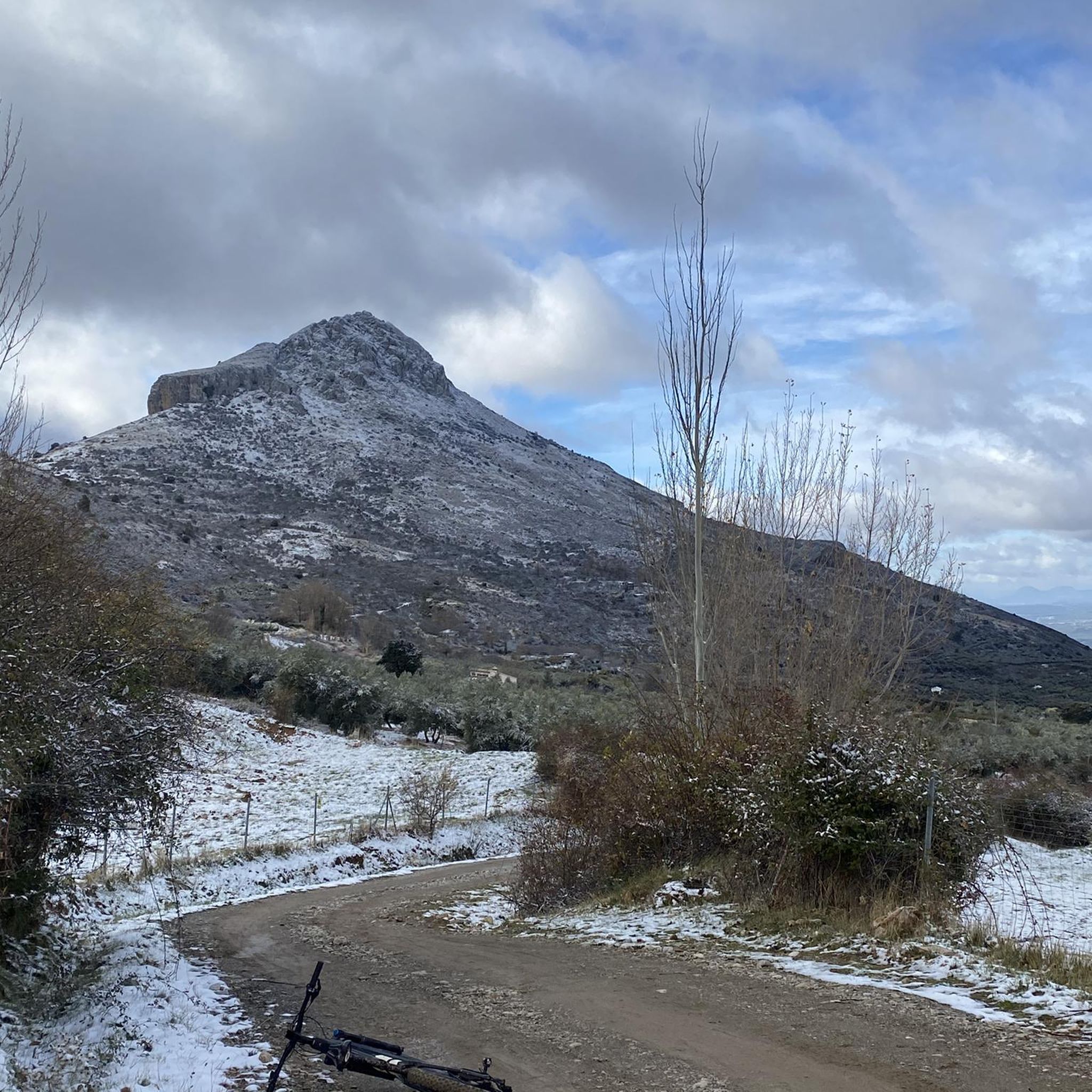
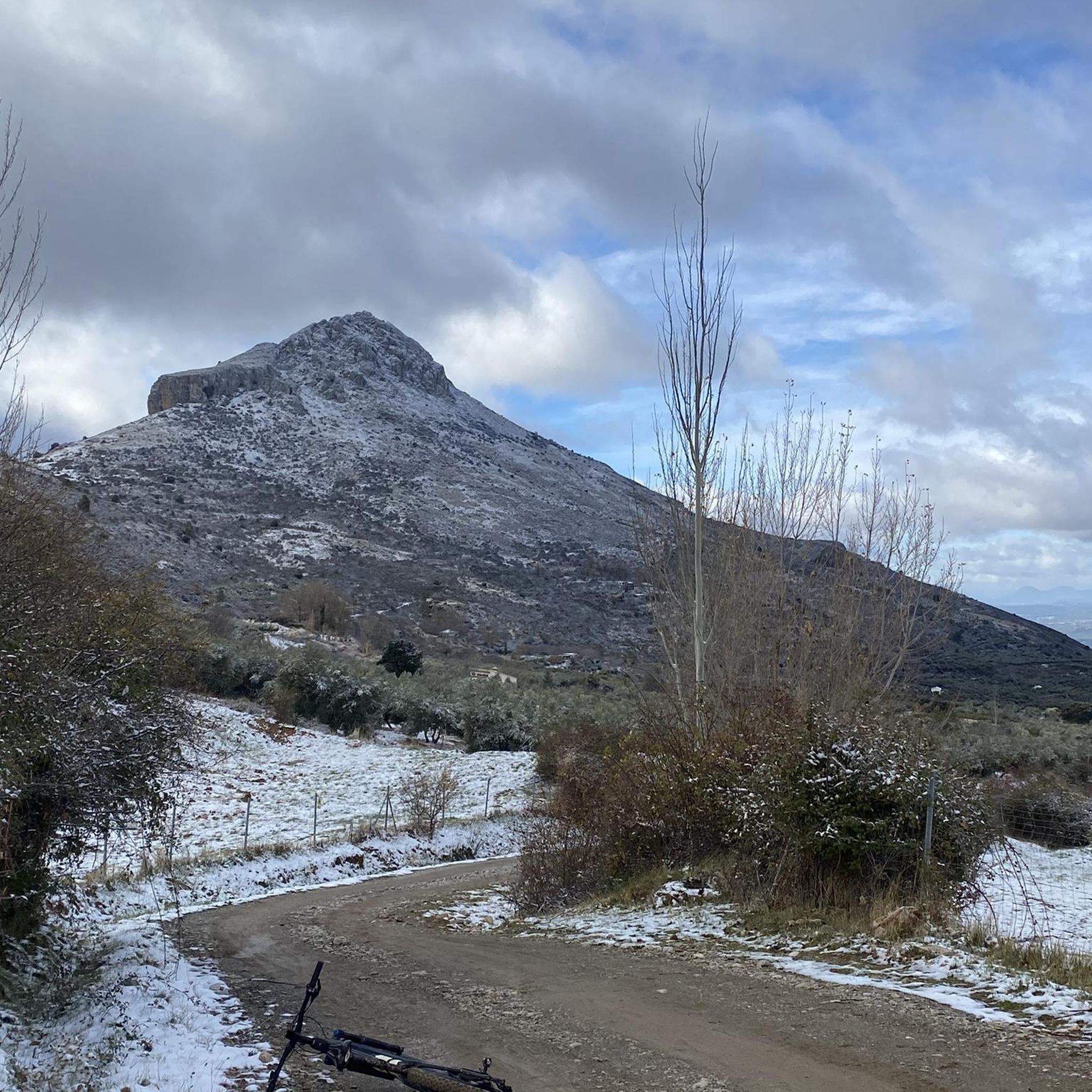
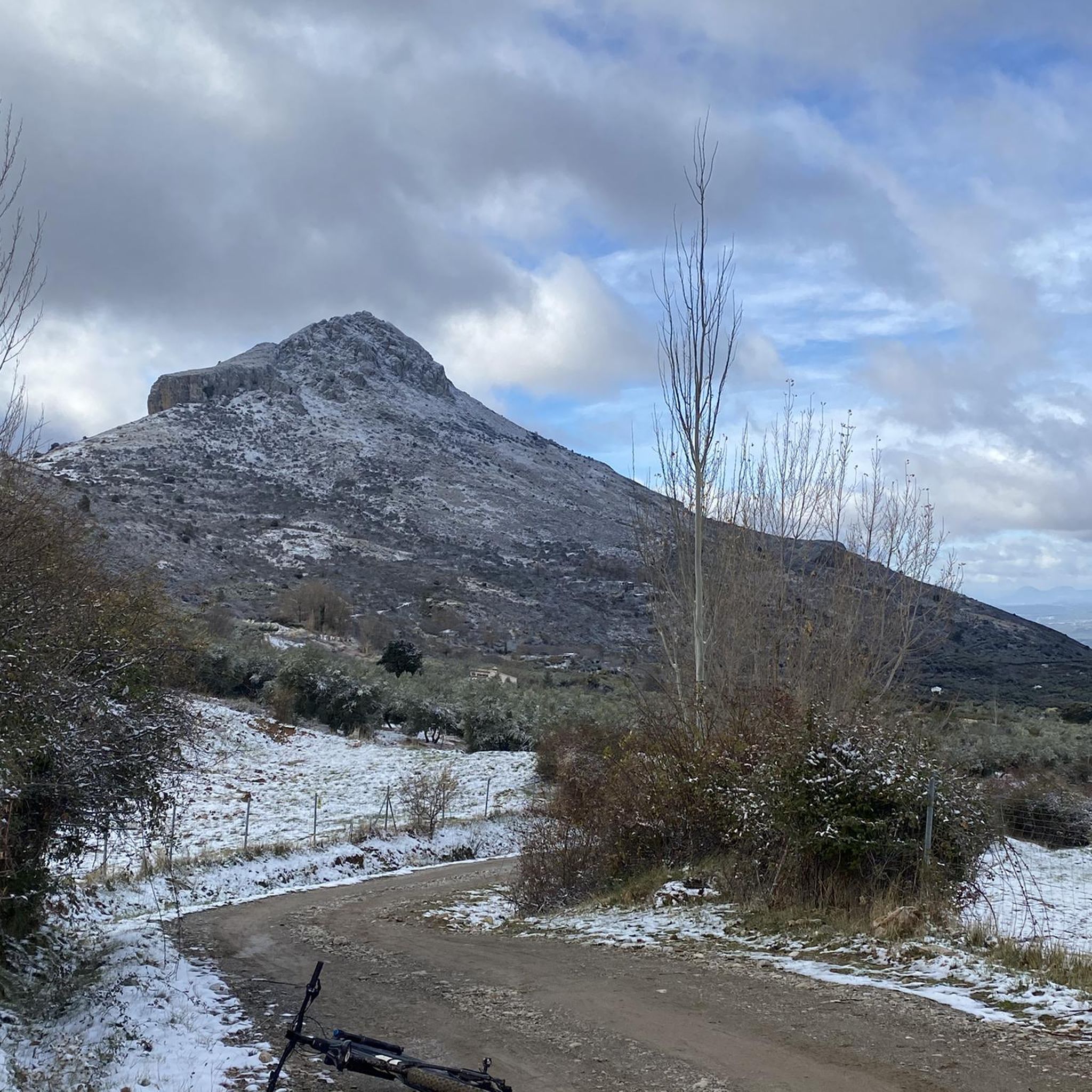
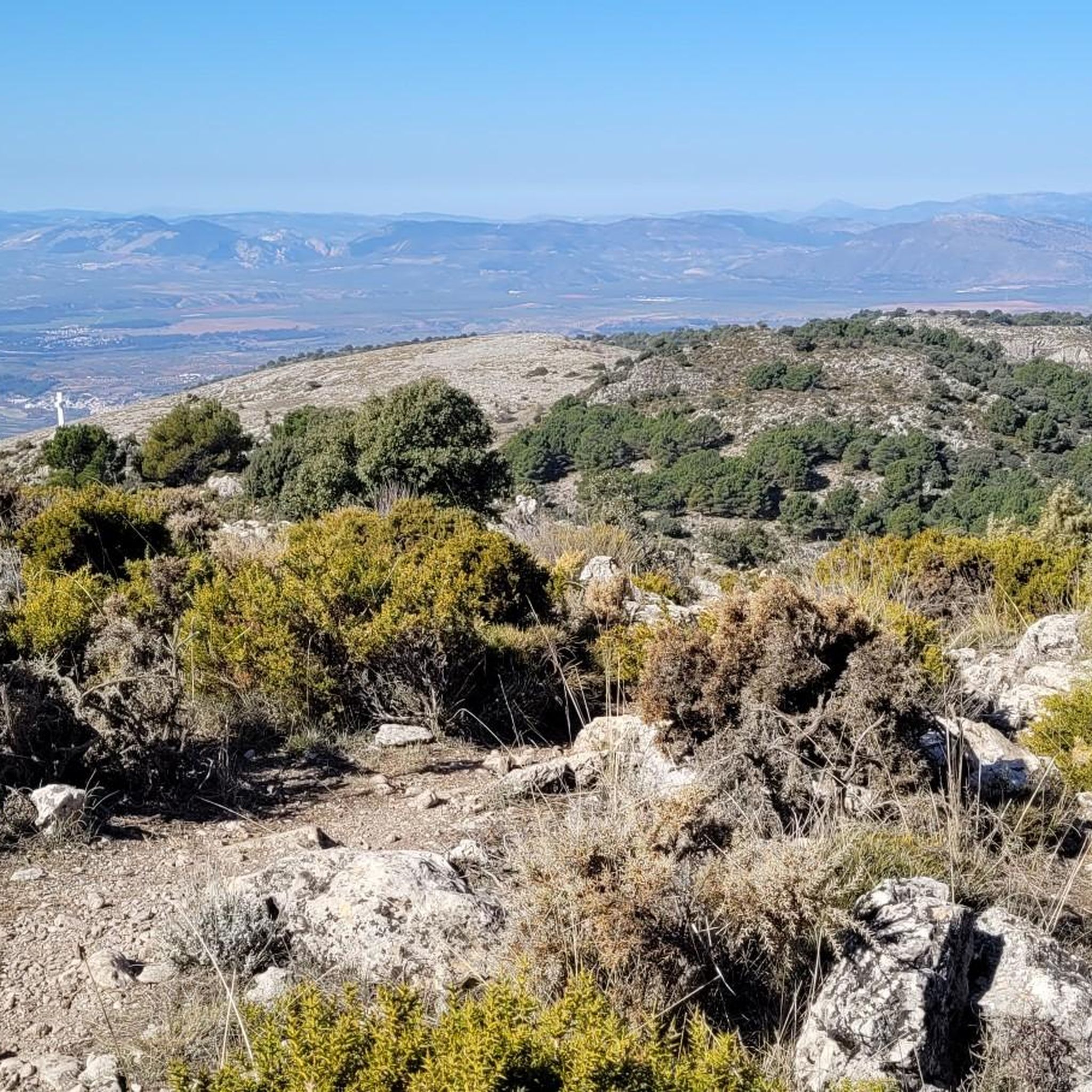

Tips from the Community

It's not a cemetery, it's a forest house.
0
0

A very cool sunset, a place to walk and ride a bike with the family
0
0

The Cubillas Reservoir extends across the municipalities of Albolote and Atarfe. It was built in 1956 and is primarily used for water supply and agricultural irrigation. The reservoir has an area of 194 hectares and a maximum depth of approximately 20 meters. The reservoir's main tributary is the Cubillas River. The reservoir's surroundings are characterized by pine forests, oak trees, and Mediterranean vegetation, and the lake is an important habitat for many fish species. The Cubillas Reservoir also serves as a resting place for various bird species, including the Great Cormorant and the Dunnock. The reservoir offers numerous recreational opportunities, including sailing, windsurfing, canoeing, jet skiing, and water skiing. There is a large picnic area on the shore and a restaurant overlooking the lake.
2
1


In the Polvorite ravine, through which the Darro River runs, there is a narrow and winding path that runs through the canyon. It is not advisable to do it on days of heavy rain, as it could be dangerous.
1
0

At this point you can access the reservoir by bicycle to take a breather by the water and enjoy the natural environment and beautiful views of the Sierra Nevada in the background.
2
0
In the enclave between Sierra Elvira, the Colomera mountains and the Sierra Arana is the Cubillas reservoir. Its functions are the supply and irrigation of the fields in the area. From the reservoir you can have magnificent views of the Sierra Nevada.
4
1
Large esplanade where you can take a breather and enjoy the fantastic views of the swamp. It is perfectly accessible by bicycle.
3
0
Frequently Asked Questions
How many running routes are available around Cogollos De La Vega?
There are over 100 running routes in the Cogollos De La Vega area, offering a wide range of options for different fitness levels and preferences. You'll find everything from easy jogs to challenging trail runs.
Are there any easy or beginner-friendly jogging routes in Cogollos De La Vega?
Yes, Cogollos De La Vega offers several easy jogging routes suitable for beginners or those looking for a relaxed run. While specific easy routes aren't detailed here, the region's network includes options that are less demanding in terms of elevation and terrain.
Can I find long-distance running routes in this region?
Absolutely. For those seeking a longer challenge, routes like the Parque Natural Sierra de Huétor – trail running circular, at 9.5 miles (15.2 km), provide a substantial trail running experience through a natural park.
Are there circular running routes around Cogollos De La Vega?
Many of the running routes in the area are circular, allowing you to start and finish at the same point. For example, the Cubillas Reservoir – Shore of the Cubillas Reservoir loop is a popular 6.5-mile (10.5 km) circular trail.
What kind of scenery can I expect on the jogging trails?
The routes around Cogollos De La Vega offer diverse scenery, including natural parks, barrancos (ravines), and reservoir areas. You can expect paths winding through forested areas and open spaces, with varied surfaces and elevations. Some routes, like the Parque Natural Sierra de Huétor trail, even feature viewpoints such as Mirador de la Mina.
Are there any interesting natural landmarks or attractions along the running routes?
Yes, the region is rich in natural beauty. You might encounter highlights such as the Sierra de Huétor forest, the intriguing Cave of the Marbles, or the serene La Teja Spring. Some trails also lead to summits like Peñón de la Mata, offering panoramic views.
What do other runners say about the trails in Cogollos De La Vega?
The running routes in Cogollos De La Vega are highly regarded by the komoot community, boasting an average rating of 4.8 stars from over 20 reviews. Runners frequently praise the varied terrain, the natural park settings, and the well-maintained paths.
Are there any running routes that are particularly challenging?
For experienced trail runners, there are several difficult routes available. The Cave of the Marbles – Cemetery of Peace loop is a challenging 4.5-mile (7.3 km) route with significant elevation changes, perfect for a demanding workout.
Are the running trails in Cogollos De La Vega suitable for families?
While the guide highlights a mix of moderate and difficult routes, the presence of easy jogging options suggests that some trails could be suitable for families, especially those looking for less strenuous paths through natural settings. It's advisable to check individual route details for specific difficulty and length.
What is the best time of year to go jogging in Cogollos De La Vega?
The diverse landscapes of Cogollos De La Vega make it suitable for running throughout much of the year. Spring and autumn offer pleasant temperatures, while summer mornings or evenings can be ideal. For winter running, some trails in the natural parks may provide crisp, clear conditions, but always check local weather and trail conditions.
Are there any running routes that include a barranco?
Yes, the region is known for its barrancos. The Barranco de Polvorite – Cemetery of Peace loop is a moderate 6.9-mile (11.0 km) route that specifically explores a barranco, offering a unique running experience.
Are there any running routes near a reservoir?
Yes, you can enjoy runs alongside water features. The Cubillas Reservoir – Shore of the Cubillas Reservoir loop is a popular 6.5-mile (10.5 km) trail that takes you through the beautiful reservoir area.
Most popular routes around Cogollos De La Vega
Most popular attractions around Cogollos De La Vega

Get inspired with the komoot mobile app


Explore more
Browse the best Running Trails & Routes in other regions.
