The best walks and hikes around Communauté D'Enirio-Aralar
4.4
(433)
3,772
hikers
192
hikes
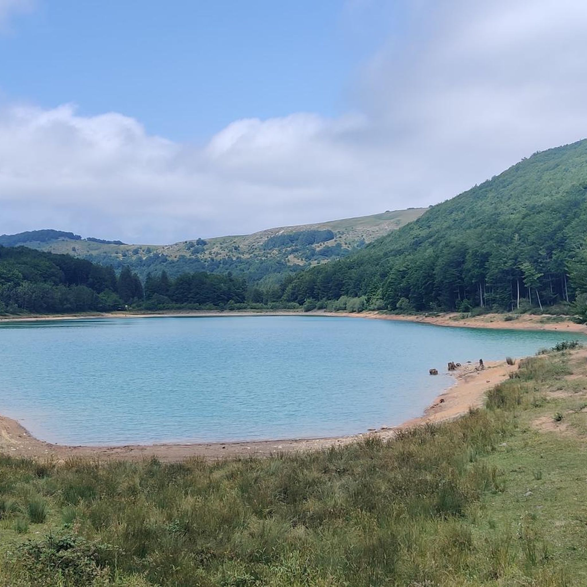
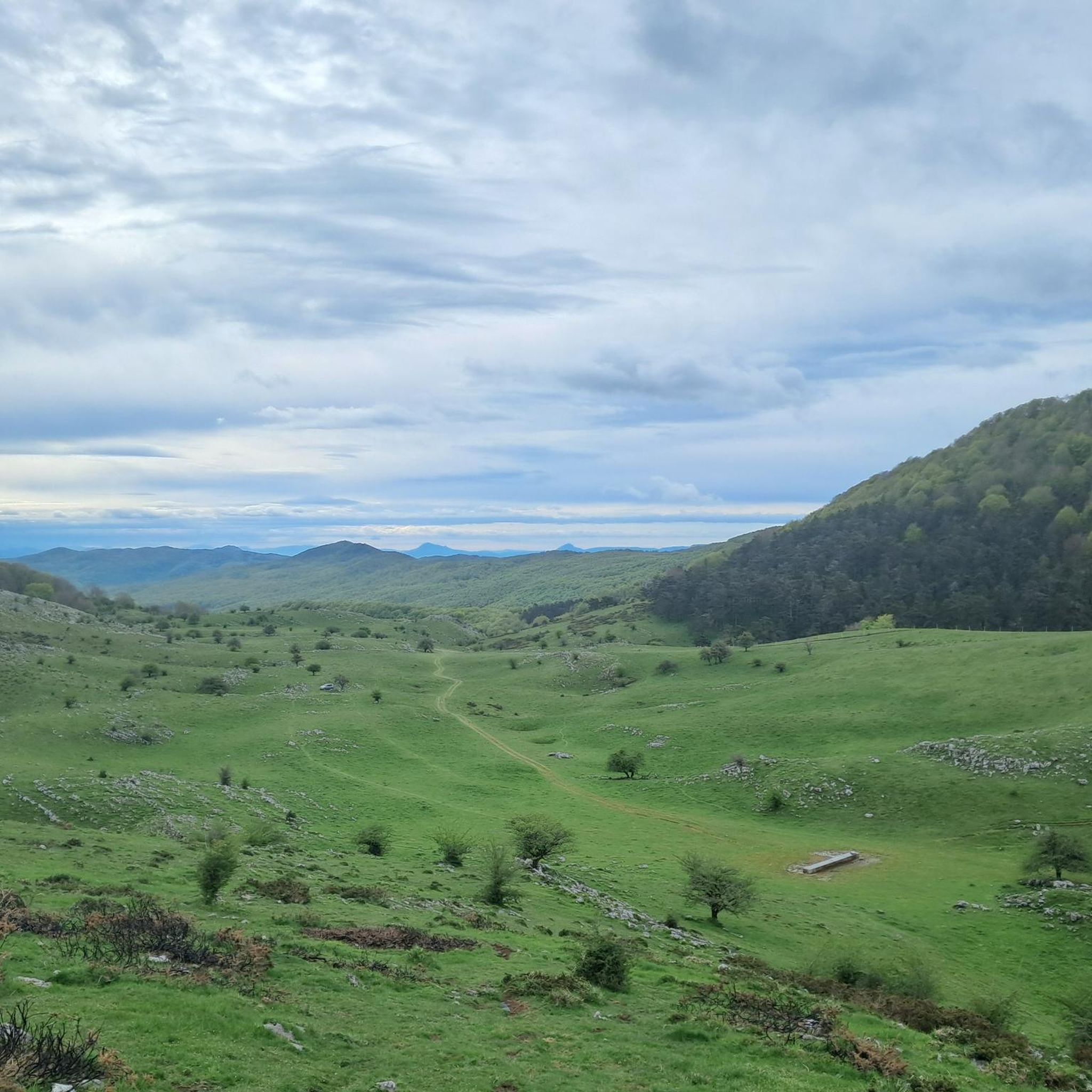
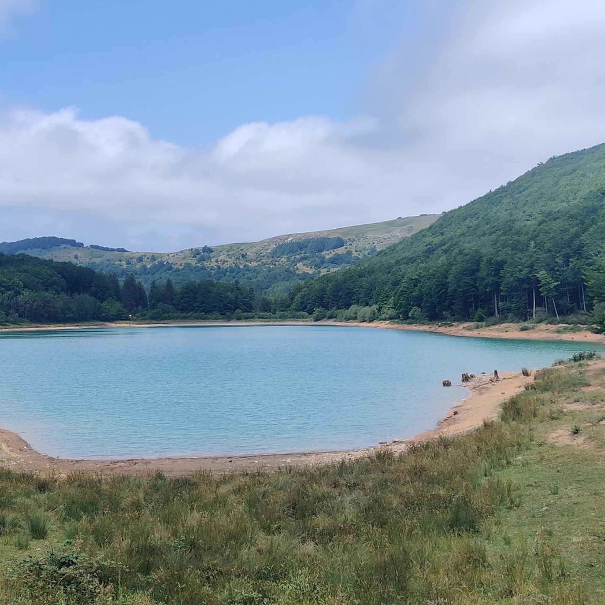
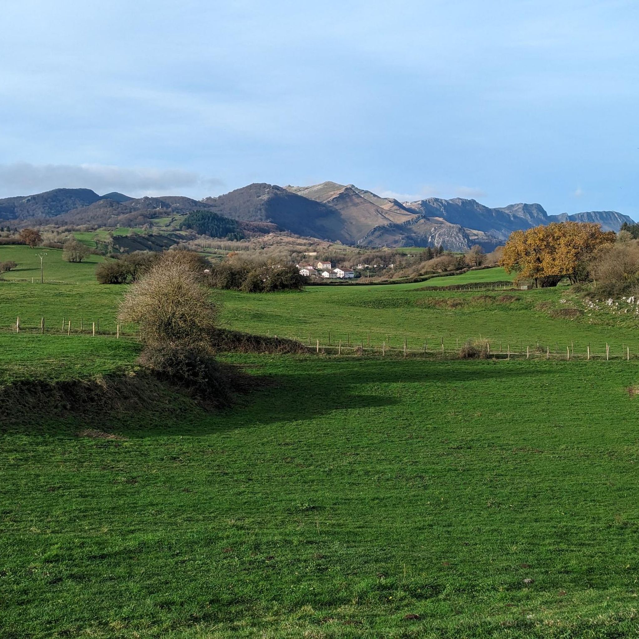
Hiking around Communauté D'Enirio-Aralar offers diverse landscapes within the Aralar mountain range, characterized by extensive karstic formations, limestone massifs, and dense beech forests. The region features high-altitude pastures, significant mountain peaks like Txindoki, and the picturesque Lareo Reservoir. These varied terrains provide a range of hiking experiences, from forest paths to open plateaus.
Best hiking trails around Communauté D'Enirio-Aralar
- The most popular hiking route is Txikondi — circular from Larraitz (PR-Gi 2005), a 6.2 miles (9.9 km) trail that…
Last updated: July 3, 2026
4.2
(48)
333
hikers
9.91km
04:14
870m
880m
Moderate hike. Good fitness required. Mostly accessible paths. Sure-footedness required.
4.9
(12)
82
hikers
10.9km
03:52
430m
430m
Hike the moderate 6.8-mile Sarastarri trail from Lizarrusti Port in Aralar Natural Park, featuring the Lareo Reservoir and panoramic summit

Sign up for free
4.9
(53)
670
hikers
8.68km
04:02
800m
800m
Hard hike. Good fitness required. Sure-footedness, sturdy shoes and alpine experience required.
5.0
(8)
93
hikers
8.86km
03:13
530m
530m
Moderate hike. Good fitness required. Mostly accessible paths. Sure-footedness required.
4.7
(6)
76
hikers
11.0km
03:57
640m
640m
Moderate hike. Good fitness required. Mostly accessible paths. Sure-footedness required.
Get access to more routes and recommendations from other explorers.
Sign up for free
Already have an account?
Our route recommendations are based on thousands of hikes, rides, and runs completed by other people on komoot.
Start today with a free account
Your next adventure awaits.
Login or Signup

Tips from the Community

It's not Txindoki, but it's also very fun to climb. I recommend descending via the side area where I went.
1
0
The best place to contemplate the grandeur of the Vertical Kilometer.
2
0
Small set of cabins where they sell Idiazabal cheese.
2
0
From here you can see unbeatable views of Txindoki, and the nearby Ausa Gaztelu.
2
0
No wonder they call it "the Basque Matterhorn". Pointy but beautiful. Worth it. And not exposed at all.
2
0
A real gamble to go up here. But some people go down it running! In fact, there must be a race for it.
1
0
In the Larraitz neighborhood, large parking lot for the dozens of hikers who climb Txindoki every day.
1
0
Almost everyone takes a little break at this fountain.
0
0
Frequently Asked Questions
How many hiking trails are available in Communauté D'Enirio-Aralar?
Communauté D'Enirio-Aralar offers a wide selection of hiking trails, with over 190 routes available. These range from easy walks to more challenging ascents, catering to various fitness levels.
Are there easy hiking trails suitable for beginners or families in Communauté D'Enirio-Aralar?
Yes, there are 27 easy routes in Communauté D'Enirio-Aralar that are well-suited for beginners or families. These trails typically feature less elevation gain and shorter distances, allowing for a more relaxed experience. While not explicitly easy, the Lareo Reservoir Trail offers scenic views and a relatively gentle path around the water, making it a good option for those seeking a moderate, enjoyable walk.
What is the typical duration of hikes in Communauté D'Enirio-Aralar?
Hikes in Communauté D'Enirio-Aralar vary significantly in duration. Many popular routes, such as the Txikondi — circular from Larraitz (PR-Gi 2005), can take around 4 hours to complete. Shorter, easier walks might be 2-3 hours, while more difficult ascents to peaks like Txindoki can extend to 5-6 hours or more.
Are there circular hiking routes in Communauté D'Enirio-Aralar?
Yes, Communauté D'Enirio-Aralar features several excellent circular hiking routes. A notable example is the Txikondi — circular from Larraitz (PR-Gi 2005), which offers varied terrain and panoramic views. Another option is the Ausa Gaztelu Peak – Oria Spring loop from Amezketa, providing a diverse mountain experience.
What kind of views can I expect on the hiking trails?
The hiking trails in Communauté D'Enirio-Aralar offer diverse and impressive views. You can expect panoramic vistas from mountain peaks, serene landscapes around reservoirs like Lareo Reservoir, and picturesque scenes within dense beech forests and high-altitude pastures. Trails often provide glimpses of limestone formations and the surrounding Basque countryside.
What are some interesting natural attractions to see along the hiking trails?
Along the hiking trails, you can discover several natural attractions. The Lareo Reservoir is a beautiful spot, and you can also find the Amezketa Stream Waterfall. For those interested in unique flora, there are magnificent Ancient Oak Trees to explore, and the Txindoki (1,346 m) peak offers a challenging ascent with rewarding views.
Are there any historical or cultural landmarks near the hiking routes?
Yes, the region offers cultural and historical points of interest. The San Miguel de Aralar Sanctuary is a significant religious site, and the Igartza Monumental Complex provides insight into local heritage. These can be visited as part of a hiking trip or as separate excursions.
What is the best season for hiking in Communauté D'Enirio-Aralar?
The best season for hiking in Communauté D'Enirio-Aralar is generally spring, summer, and early autumn. During these months, the weather is milder, and the trails are more accessible. Spring brings lush greenery and wildflowers, while autumn offers stunning fall foliage. Winter hiking is possible but requires appropriate gear and experience due to potential snow and ice, especially at higher elevations.
Is parking available at trailheads in Communauté D'Enirio-Aralar?
Yes, parking is generally available at common trailheads and starting points for hikes in Communauté D'Enirio-Aralar. For example, the area around Larraitz, a popular starting point for routes like the Txikondi — circular from Larraitz (PR-Gi 2005), typically has designated parking areas. It's always advisable to arrive early during peak season to secure a spot.
What do other hikers enjoy most about hiking in Communauté D'Enirio-Aralar?
The hiking experience in Communauté D'Enirio-Aralar is highly rated by the komoot community, with an average score of 4.4 stars from over 400 reviews. Hikers frequently praise the diverse landscapes, from dense beech forests to high-altitude pastures, and the well-maintained trails. The stunning views from peaks and the tranquility of natural spots like the Lareo Reservoir are also commonly highlighted.
Are there any less-known or quieter hiking routes in the area?
While many routes are popular, Communauté D'Enirio-Aralar has numerous trails, and exploring some of the less-frequented paths can offer a quieter experience. Look for routes that are not explicitly mentioned as 'most popular' in guides, or explore trails starting from smaller villages surrounding the main Aralar massif to find more secluded options.
Most popular routes around Communauté D'Enirio-Aralar
Most popular attractions around Communauté D'Enirio-Aralar

Get inspired with the komoot mobile app


Explore more
Browse the best Hikes in other regions.
