The best walks and hikes around Brand-Nagelberg
4.6
(1112)
5,319
hikers
306
hikes
Hiking around Brand-Nagelberg features a landscape characterized by granite rock formations, numerous ponds, and dense woodlands. The region offers a mix of terrain, from gentle paths around water bodies to routes exploring unique geological features. Elevation changes are generally moderate, making many trails accessible. This area provides opportunities for exploring natural rock gardens and tranquil forest environments.
Best hiking trails around Brand-Nagelberg
- The most popular hiking route is Christoph-Stein Rock Formation – Devil's Bed loop from Kleineibenstein, a 6.8…
Last updated: July 2, 2026
4.9
(21)
139
hikers
10.9km
02:58
160m
160m
Moderate hike. Good fitness required. Easily-accessible paths. Suitable for all skill levels.
4.6
(5)
48
hikers
Moderate hike. Good fitness required. Easily-accessible paths. Suitable for all skill levels.

Sign up for free
5.0
(1)
28
hikers
4.56km
01:11
30m
30m
Easy hike. Great for any fitness level. Easily-accessible paths. Suitable for all skill levels.
3.0
(2)
22
hikers
5.06km
01:18
20m
20m
Easy hike. Great for any fitness level. Easily-accessible paths. Suitable for all skill levels.
5.0
(1)
9
hikers
8.13km
02:10
80m
80m
Moderate hike. Good fitness required. Easily-accessible paths. Suitable for all skill levels.
Get access to more routes and recommendations from other explorers.
Sign up for free
Already have an account?
Our route recommendations are based on thousands of hikes, rides, and runs completed by other people on komoot.
Start today with a free account
Your next adventure awaits.
Login or Signup
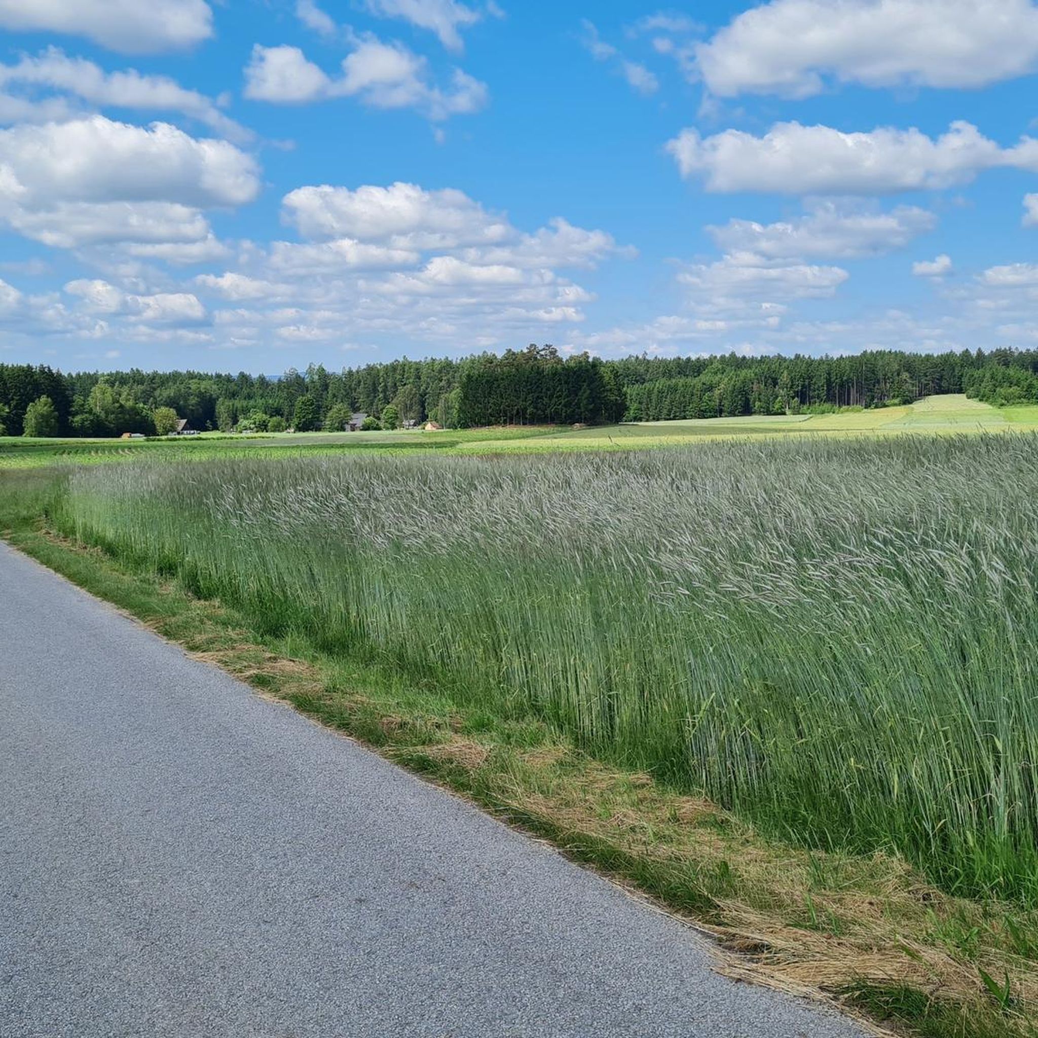
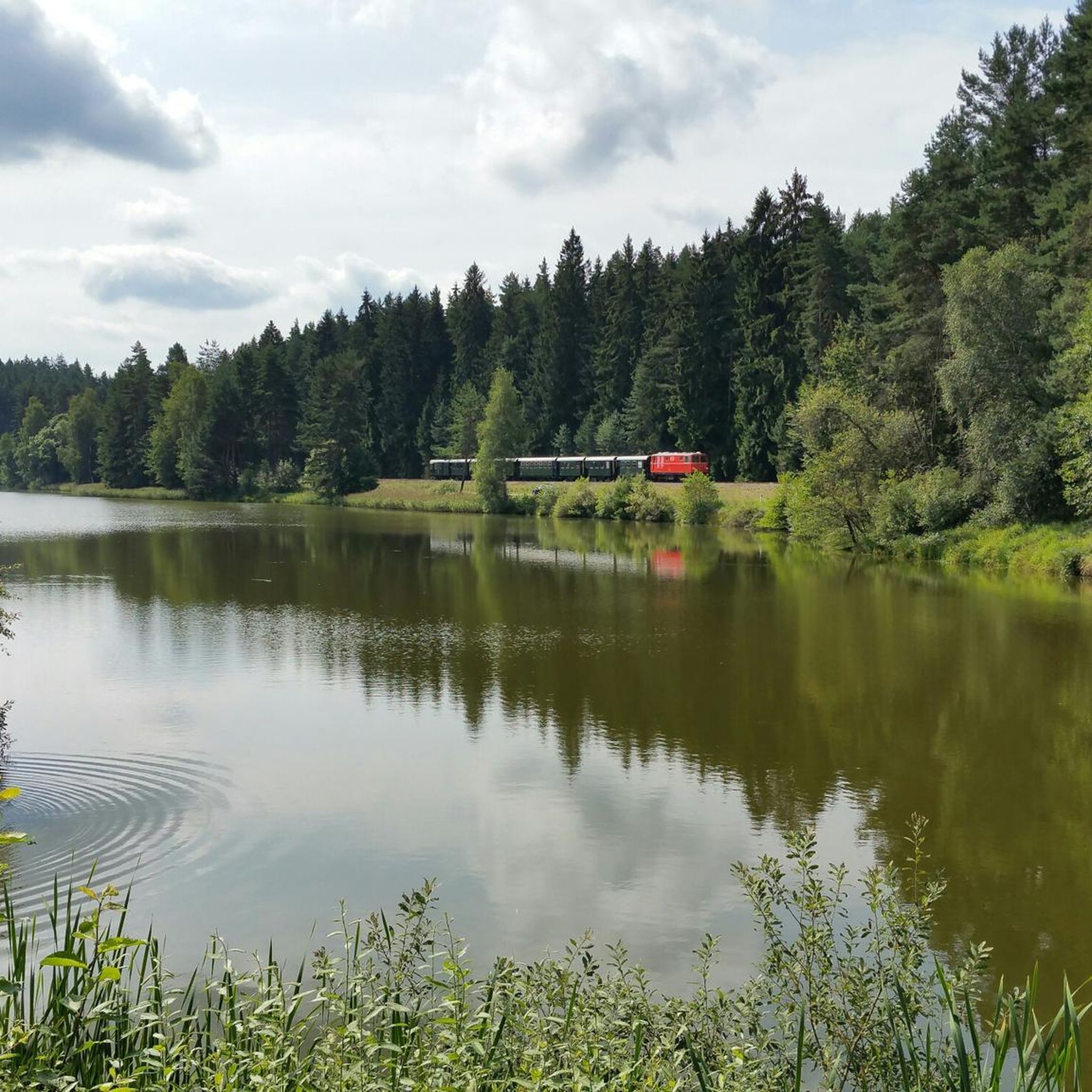
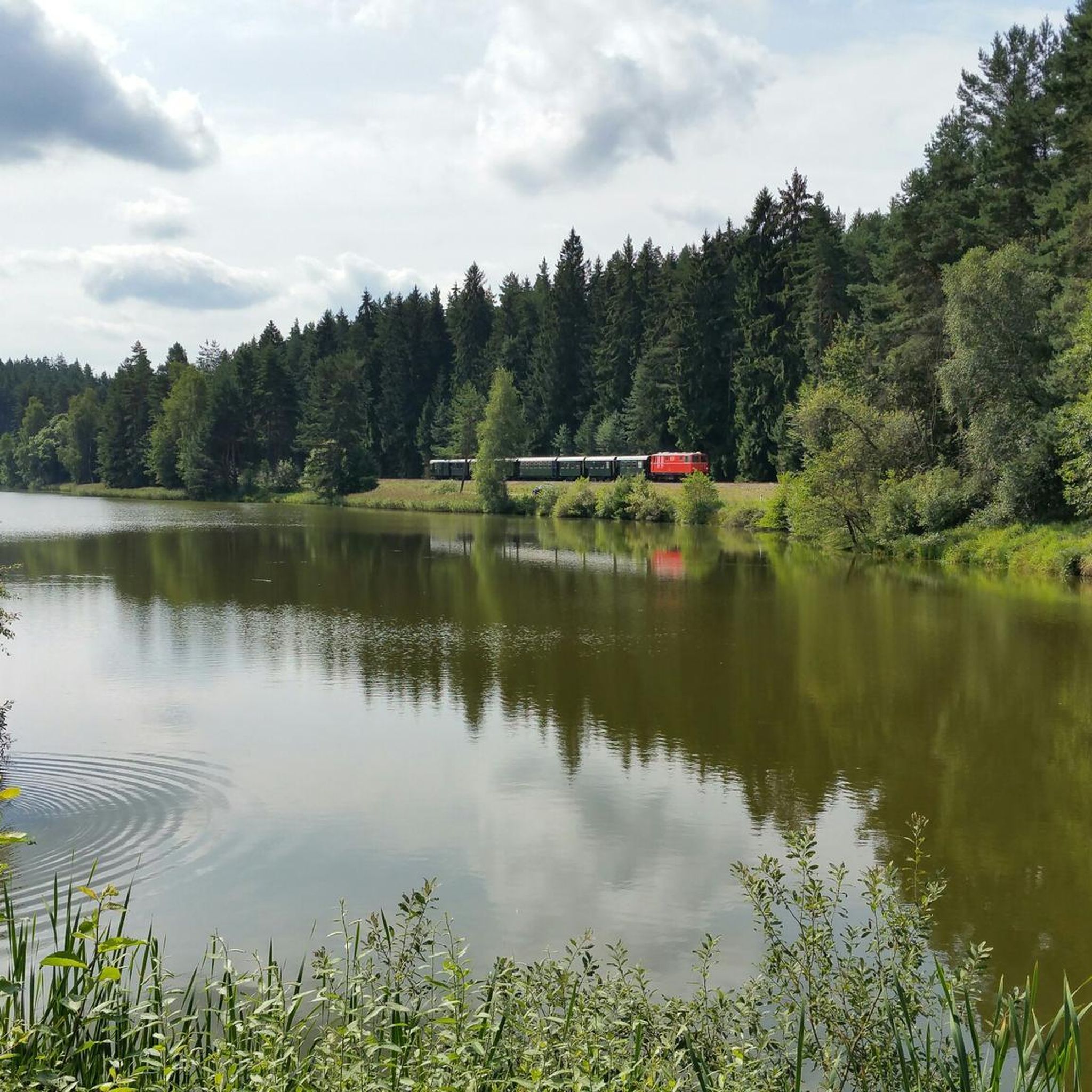
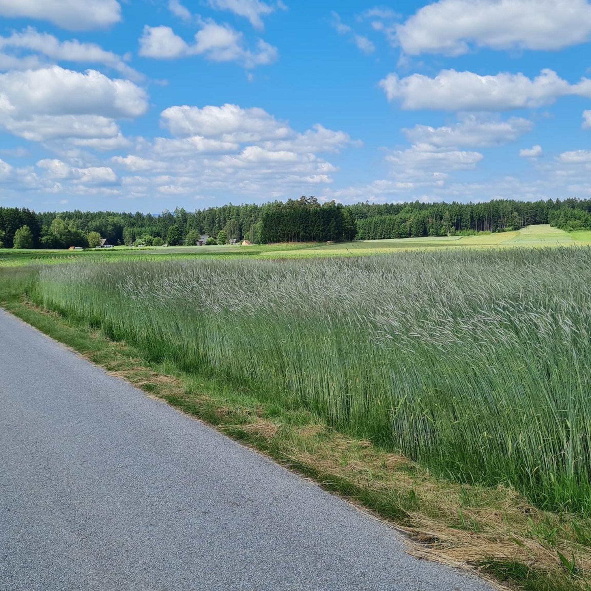
Tips from the Community


A nice, small swimming lake near Schrems. Also accessible on foot from the town center. A spacious bathing jetty with changing facilities is available.
5
0


One of the famous wobbly stones.
1
0
One of the famous wobbly stones.
0
0
Frequently Asked Questions
How many hiking trails are available in Brand-Nagelberg?
Brand-Nagelberg offers a wide selection of hiking opportunities, with over 300 routes to explore. These include 189 easy trails, 125 moderate paths, and a few more challenging options, ensuring there's something for every hiker.
What kind of terrain can I expect on the hiking trails in Brand-Nagelberg?
The trails in Brand-Nagelberg are characterized by granite rock formations, numerous tranquil ponds, and dense woodlands. You'll find a mix of terrain, from gentle paths around water bodies to routes exploring unique geological features. Elevation changes are generally moderate, making many trails accessible.
Are there easy hiking trails suitable for beginners or casual walkers?
Yes, Brand-Nagelberg has plenty of easy trails. With 189 routes classified as easy, you can enjoy relaxed walks through the serene pond landscapes and forests. An example is the Elias Pond loop from Eugenia, which is about 2.8 miles (4.6 km) long and takes just over an hour.
Are there any challenging hikes in Brand-Nagelberg?
While most trails are easy to moderate, there is at least one more challenging route available for those seeking a greater physical test. The region's varied terrain, including granite formations and woodlands, can offer more demanding sections on longer routes.
What do other hikers enjoy most about Brand-Nagelberg?
The hiking experience in Brand-Nagelberg is highly rated by the komoot community, with an average score of 4.6 stars from over 1000 reviews. Hikers often praise the unique granite rock formations, the peaceful pond landscapes, and the well-maintained forest paths that define the region.
Are there family-friendly hiking options in Brand-Nagelberg?
Many of the easy and moderate trails in Brand-Nagelberg are suitable for families. The gentle paths around ponds and through forests provide a pleasant environment for all ages. Consider routes like the Elias Pond – Schrems Art Museum loop from Eugenia, which is an easy 3.8 miles (6.2 km) walk.
Can I hike with my dog in Brand-Nagelberg?
Generally, dogs are welcome on hiking trails in Brand-Nagelberg. It's always recommended to keep your dog on a leash, especially in nature protection areas or near wildlife. Ensure you carry water for your pet and clean up after them to maintain the natural beauty of the trails.
Are there circular walks available in Brand-Nagelberg?
Yes, Brand-Nagelberg features many circular walks, allowing you to start and end your hike at the same point. Popular loop trails include the Christoph-Stein Rock Formation – Devil's Bed loop from Kleineibenstein, a moderate 6.8 miles (10.9 km) route, and the Ludwigsthalerteich – Ludwigsthal Pond loop from Steinbach.
What are the typical lengths of hikes in Brand-Nagelberg?
Hikes in Brand-Nagelberg vary in length, catering to different preferences. You can find shorter walks, such as the Elias Pond loop from Eugenia at 2.8 miles (4.6 km), to longer, more extensive routes like the Christoph-Stein Rock Formation – Devil's Bed loop from Kleineibenstein, which spans 6.8 miles (10.9 km).
Are there any viewpoints or natural landmarks to see along the trails?
Brand-Nagelberg is known for its natural beauty and unique geological features. You can discover highlights such as the Blockheide Observation Tower for panoramic views, the Wackelstein (a famous rocking stone), and the serene Schrems High Moor. The region's granite rock formations are a prominent feature on many trails.
What is the best time of year to hike in Brand-Nagelberg?
The best time to hike in Brand-Nagelberg is typically from spring through autumn (April to October). During these months, the weather is generally pleasant, and the natural landscapes, including the ponds and forests, are at their most vibrant. Autumn offers particularly beautiful foliage.
Are there options for winter hiking in Brand-Nagelberg?
While some trails may be accessible in winter, conditions can vary. Shorter, well-maintained paths around the ponds might be suitable for winter walks, but always check local conditions and weather forecasts. Proper winter hiking gear, including sturdy, waterproof boots, is essential.
How can I get to the trailheads in Brand-Nagelberg?
Access to trailheads in Brand-Nagelberg is primarily by car, with various parking options available near popular starting points. While public transport might serve some areas, having a car generally offers more flexibility to reach different routes and explore the wider region.
Most popular routes around Brand-Nagelberg
Most popular attractions around Brand-Nagelberg

Get inspired with the komoot mobile app


Explore more
Browse the best Hikes in other regions.
