The best cycling routes around El Cerro
4.6
(36)
630
riders
37
rides
Touring cycling around El Cerro features varied terrain, including routes along former railway lines and through hilly landscapes. The region's topography includes significant elevation changes, with some routes ascending mountain passes and others traversing valleys with water features like reservoirs. These routes offer a mix of challenging climbs and more gradual paths, suitable for different levels of touring cyclists.
Best touring cycling routes around El Cerro
- The most popular touring cycling route is Vía Verde de la Plata - Embalse…
Last updated: June 24, 2026
6
riders
27.4km
02:03
450m
450m
Hard bike ride. Very good fitness required. Mostly paved surfaces. Suitable for all skill levels.
4.7
(12)
110
riders
Hard bike ride. Very good fitness required. Mostly paved surfaces. Suitable for all skill levels.

Sign up for free
4.3
(3)
49
riders
24.7km
01:45
340m
340m
Moderate bike ride. Good fitness required. Mostly paved surfaces. Suitable for all skill levels.
5.0
(1)
40
riders
Hard bike ride. Very good fitness required. Mostly paved surfaces. Suitable for all skill levels.
5.0
(1)
27
riders
54.6km
03:54
1,130m
1,130m
Hard bike ride. Very good fitness required. Mostly paved surfaces. Suitable for all skill levels.
Get access to more routes and recommendations from other explorers.
Sign up for free
Already have an account?
Our route recommendations are based on thousands of hikes, rides, and runs completed by other people on komoot.
Start today with a free account
Your next adventure awaits.
Login or Signup
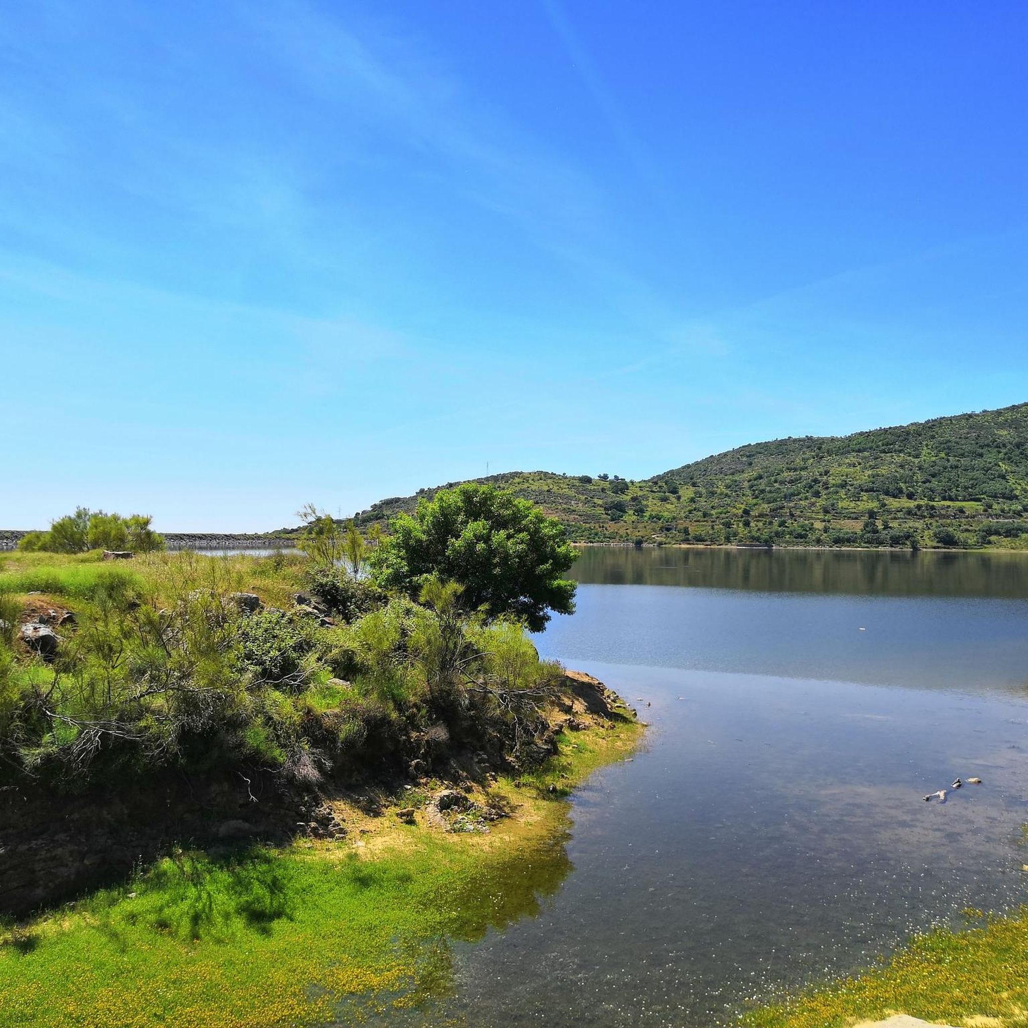
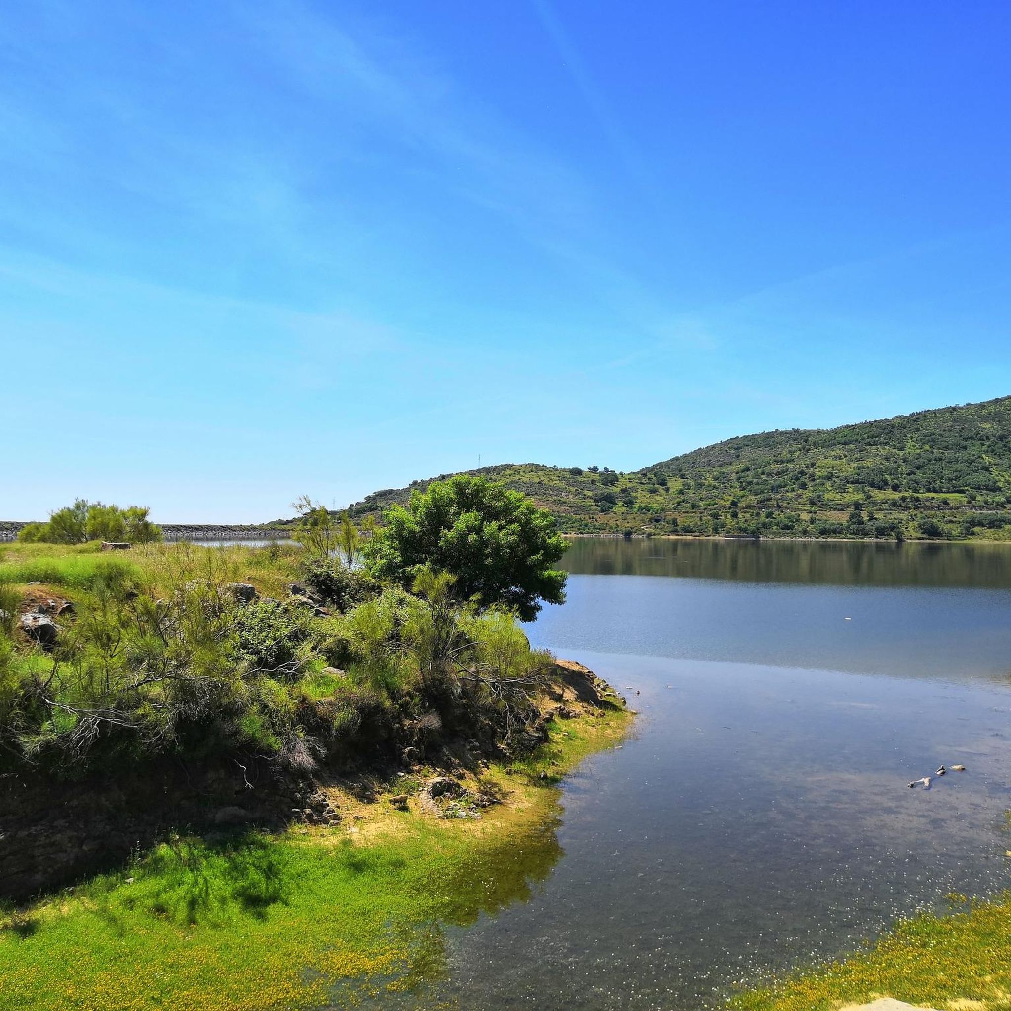
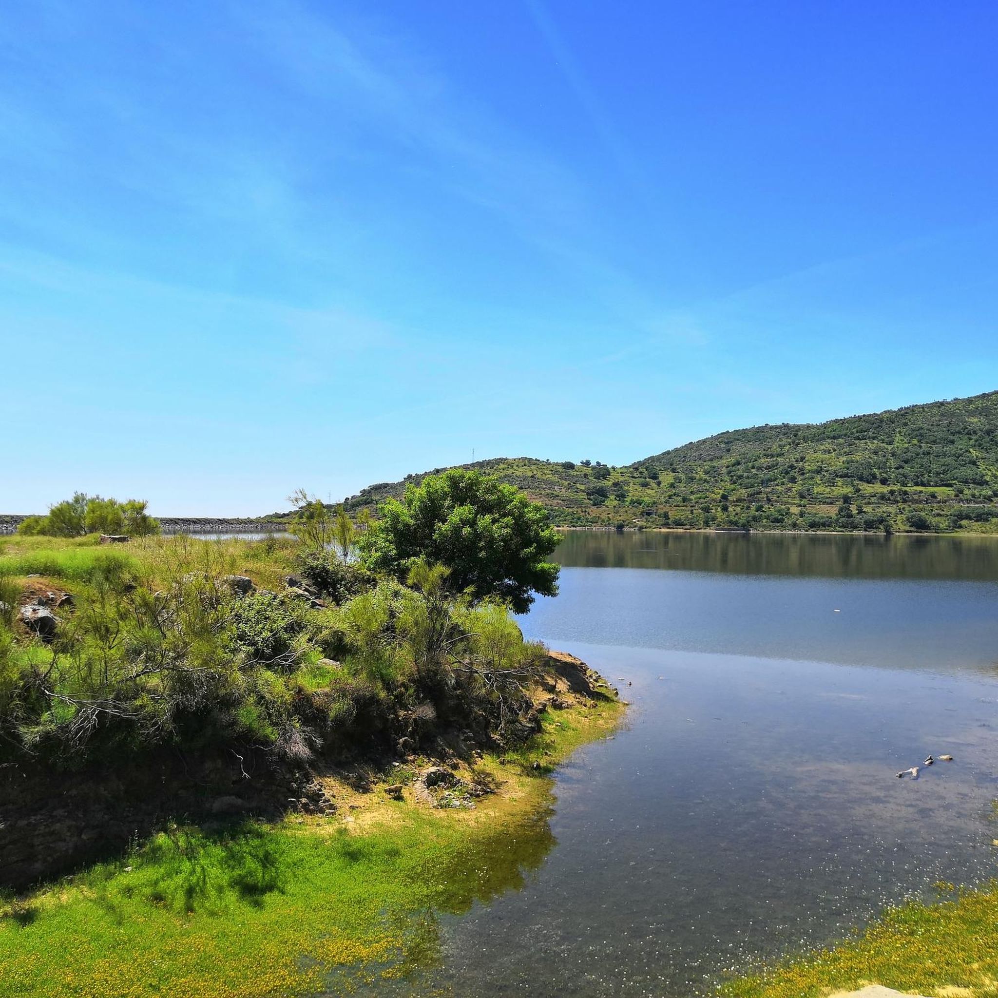
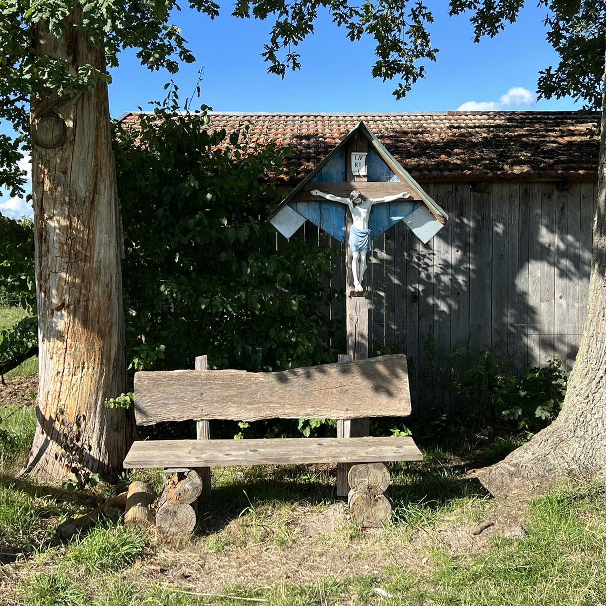

Tips from the Community

Hervás is one of the founders of the Network of Jewish Quarters of the Sephardic Route and is also part of the Cooperation Network of the Silver Route.
17
0
Beautiful well-maintained bridge
14
0
Beautiful ruin and surroundings
15
0
Nice spot and you can also see the stork's nest above.
14
0
Hervás has magnificent architectural heritage such as the Davila Palace, a parish church, the monastery of the Trinitarian Fathers, etc. The largest collection of classic motorcycles in Europe!
7
0
The lighting works well coming from Hervas, but not the other way around. The 2nd part is really pitch black! (May 2026).
9
0
Banos de Montemayor is known for its spa resort with two buildings and sulfurous water, which is particularly recommended for the treatment of rheumatism, arthrosis and respiratory problems, but also for relaxing and forgetting stress in a unique place.
8
0
Usually cozy here, but today deserted.
9
0
Frequently Asked Questions
What kind of terrain can I expect when touring cycling around El Cerro?
Touring cycling around El Cerro features varied terrain, including routes along former railway lines (greenways) and through hilly landscapes. You'll encounter significant elevation changes, with some routes ascending mountain passes and others traversing valleys with water features like reservoirs. The routes offer a mix of challenging climbs and more gradual paths.
Are there any family-friendly touring cycling routes in El Cerro?
While many routes in El Cerro are rated difficult, there are options suitable for a wider range of abilities. The region's greenways often provide more gradual paths. For a moderate option, consider the View of Hervás – La Cantina de la Estación loop from Baños de Montemayor, which is 15.4 miles (24.7 km) long with moderate climbs.
What are some notable natural features or landmarks I can see along the touring cycling routes?
El Cerro offers several interesting natural and man-made landmarks. You might encounter the impressive La Chorrera Waterfall, or geological formations like the Peña de la Cruz and Balanced Boulder. The Peña Negra Summit and Cancho La Muela offer scenic viewpoints. Additionally, you can explore the historic Béjar Station and Vía de la Plata Tunnel.
Are there any circular touring cycling routes available in El Cerro?
Yes, many of the touring cycling routes in El Cerro are designed as loops. For example, the popular Vía Verde de la Plata - Embalse de Baños Loop is a 17.0-mile (27.4 km) difficult route. Another option is the Casas del Monte Rest Area – Arroyo Berrocalillo Bridge loop from Gargantilla, a challenging 42.3-mile (68.1 km) path.
What is the best time of year to go touring cycling in El Cerro?
The region's varied terrain, including mountain passes and valleys, suggests that spring and autumn would likely offer the most pleasant conditions for touring cycling, avoiding the extreme heat of summer and potential cold or snow in winter at higher elevations. Always check local weather forecasts before heading out.
How many touring cycling routes are there in El Cerro?
There are over 40 touring cycling routes available around El Cerro, catering to various skill levels. This includes 2 easy routes, 15 moderate routes, and 25 difficult routes, ensuring options for every touring cyclist.
What do other touring cyclists enjoy the most about cycling in El Cerro?
The touring cycling routes in El Cerro are highly rated by the komoot community, with an average score of 4.6 stars from over 60 reviews. Cyclists often praise the diverse landscapes, the challenge of the climbs, and the opportunity to explore historic greenways and scenic reservoirs.
Are there any cafes or places to eat along the touring cycling routes?
Yes, you can find places to refuel. For instance, the La Pequeña Estación Bar Restaurant Café is a highlight that could be conveniently located near some routes, offering a spot to rest and eat.
What are some challenging touring cycling routes in El Cerro for experienced riders?
For experienced touring cyclists seeking a challenge, the La Cantina de la Estación – Puerto de Honduras loop from Aldeanueva del Camino is a difficult 41.6-mile (67 km) route with significant elevation gain. Another demanding option is the View of Hervás – La Cantina de la Estación loop from Gargantilla, a 36.3-mile (58.4 km) difficult path.
Is public transport available to access touring cycling routes in El Cerro?
While specific public transport access points for each route are not detailed, the presence of former railway lines (greenways) suggests that some routes might be accessible from towns or villages that have public transport connections. It's advisable to check local transport schedules for specific starting points like Baños de Montemayor or Gargantilla.
Can I find less crowded touring cycling paths in El Cerro?
With over 40 routes available, including many difficult options, it's possible to find less crowded paths, especially outside of peak seasons or on routes that are more challenging. Exploring some of the longer or higher-elevation routes might offer a more solitary experience.
Most popular attractions around El Cerro

Get inspired with the komoot mobile app


Explore more
Browse the best Cycling routes in other regions.
