The best cycling routes around Benimassot
4.8
(24)
642
riders
24
rides
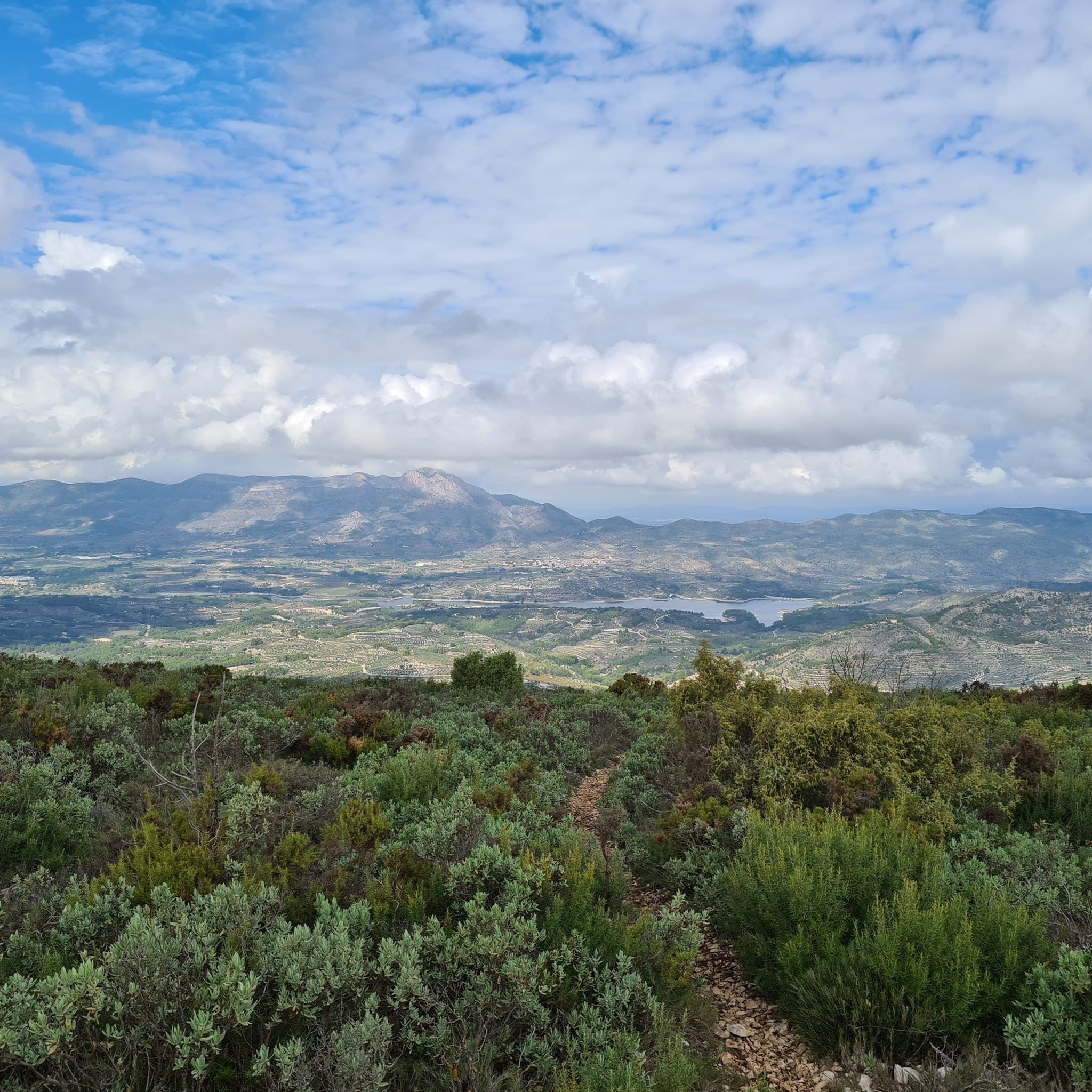
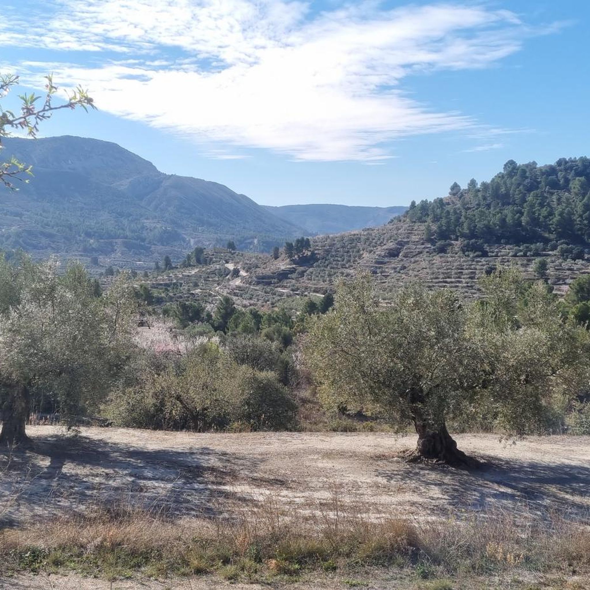
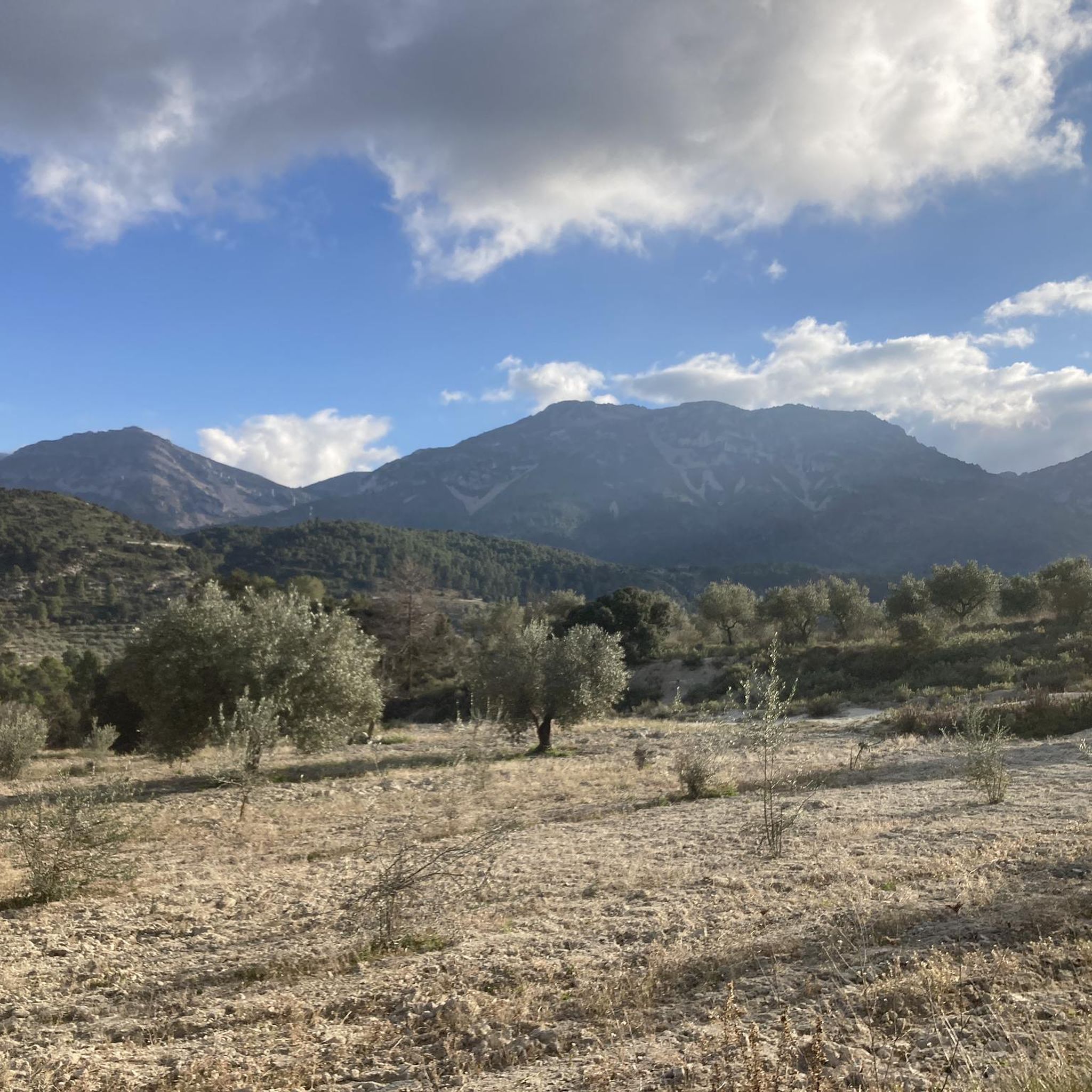
Touring cycling routes around Benimassot are set within the Sierra de Almudaina, characterized by mountainous terrain and deep valleys. The region features prominent peaks such as the Sierra de la Serrella and Tossal Blanc, offering varied elevation changes. Riders can expect routes that traverse olive and almond groves, providing panoramic views over the Seta Valley. The landscape includes natural rock formations and traditional fountains, adding points of interest to the trails.
Best touring cycling routes around Benimassot
- The most popular…
Last updated: June 26, 2026
18
riders
22.0km
01:43
510m
510m
Cycle the Embalse de Guadalest – Circular from Abdet, a difficult 13.7-mile route with stunning valley views and the historic Guadalest vill
36.3km
03:54
1,160m
1,160m
Hard bike ride. Very good fitness required. You may need to push your bike for some segments of this route.

Sign up for free
4.5
(2)
131
riders
45.8km
03:08
790m
790m
Hard bike ride. Very good fitness required. Mostly paved surfaces. Suitable for all skill levels.
5.0
(3)
41
riders
Hard bike ride. Very good fitness required. Mostly paved surfaces. Suitable for all skill levels.
5.0
(1)
23
riders
70.3km
04:51
1,300m
1,300m
Hard bike ride. Very good fitness required. Mostly paved surfaces. Suitable for all skill levels.
Get access to more routes and recommendations from other explorers.
Sign up for free
Already have an account?
Our route recommendations are based on thousands of hikes, rides, and runs completed by other people on komoot.
Start today with a free account
Your next adventure awaits.
Login or Signup

Tips from the Community

The only crossing over the river. Suitable spot for a picnic. It's not far to Villalonga from here.
2
0
There are several tunnels on the route. 2 to 3 longer ones: you absolutely need light. Otherwise, it's pitch dark.
2
0

A beautiful hike through the Hell's Gorge. The actual route along the railway line, and probably the most interesting section between L'Orcha and Mare de Deu (Barranco del Infierno = Hell's Gorge), is unpaved and unpaved, in some parts very gravelly and rough. Five metal bridges are missing, two stone bridges remain, and six tunnels are traversed, all without lighting.
1
0
The ford was replaced by a "bridge".
1
0

Good paved road, moderate traffic. Views of the reservoir, the Aitana and Serrella mountain ranges, and villages like Beniardà and Benimantell.
6
0

On Grabel, it's advisable to keep your tire pressures correct. I recommend over-inflating rather than underinflating. There are some cobblestone areas.
1
0

Be sure to take a break here :-) there are benches with tables, the refreshing clear water and the wonderful view of the mountains
1
0

Atzúbia is a town in the Valls de Pego subregion, in Marina Alta. In the past it was called Atzúbia dels Roques or Vila dels Roques. The orography of the term favors cycling and hiking. The Tossal del Llop, camping area, should be highlighted among its sites; the Serra de l'Orxa, the Serra de la Safor, the Bassiets cave and, the most well-known, the Canelobre. Despite the evidence of the passage of Iberians and Romans, the origin of the population is Arab. Jaume I ceded it in 1258 to Arnau de Romaní. Later he would create the barony of Forna for his son. In 1602 it was inhabited by 6 families, but in 1609 it remained depopulated after the expulsion of the Moors; it was repopulated in 1611 by Francesc Roca with Majorcans. It has belonged to the Cruïlles (16th century), the Figuerolas (17th century) and the Julià family and the baron of Santa Bárbara (19th century). In 1845, the municipality gathered 150 dry-land workers with a small garden irrigated by the Forna laundry, in its mountains it owned two mineral coal mines, two algeps quarries, six kilns for baking it, three sand quarries and 200 heads of woolly cattle. In 1911 Forna and Atzúbia merged to form a single municipality. It has a population of less than a thousand inhabitants, many of them foreigners, spread over the two population centers: Atzúbia and Forna.
3
0
Frequently Asked Questions
What is the general terrain like for touring cycling around Benimassot?
Benimassot, known as 'El Balcón de la Serrella', is situated in the Sierra de Almudaina, offering a mountainous and rugged terrain. Cyclists can expect significant elevation changes, deep valleys, and panoramic views over the Seta Valley, characterized by olive and almond groves. The routes often traverse challenging landscapes, making them suitable for experienced riders.
Are there any easy touring cycling routes in Benimassot for beginners?
The touring cycling routes around Benimassot are generally challenging. According to our data, there are currently no routes classified as 'easy'. Most routes are rated as 'difficult', indicating they are better suited for cyclists with good fitness and experience in mountainous terrain.
What kind of natural features or landmarks can I expect to see along the cycling routes?
The region is rich in natural beauty and historical sites. You might encounter impressive rock formations like Penya Foradà, or explore ancient rock art at Camino de Petracos – Remote Beauty & Ancient Rock Art. The routes also offer views of various summits, such as Recingle Alt Summit and Pla de la Casa Summit, providing breathtaking vistas over the valleys.
Are there any circular touring cycling routes available?
Yes, several routes are designed as circular tours. For example, you can explore the mountainous terrain of the Sierra de Almudaina on The Sierra de Almudaina – Gravel circular from Quatretondeta. Another option is the Guadalest Reservoir Loop Trail, which offers scenic views around the reservoir.
What is the typical length and duration of touring cycling routes in Benimassot?
The routes vary in length and duration, catering to different levels of endurance. For instance, the Guadalest Reservoir Loop Trail is about 13.7 miles (22.0 km) and takes approximately 1 hour 43 minutes. Longer routes, like the Font de L’Alcúdia – L'Atzúbia loop from Venta de Margarida, cover around 28.5 miles (45.8 km) and can take over 3 hours to complete.
What do other touring cyclists say about the routes in Benimassot?
The touring cycling routes around Benimassot are highly regarded by the komoot community, with an average rating of 4.8 stars from over 20 reviews. Cyclists often praise the challenging climbs, rewarding descents, and the stunning panoramic views over the Seta Valley and surrounding mountains.
When is the best time of year to go touring cycling in Benimassot?
Benimassot is particularly beautiful when the almond trees are in blossom, typically in late winter or early spring, which adds to the scenic charm of the Seta Valley. The region's climate generally allows for cycling outside of the hottest summer months, with spring and autumn offering pleasant temperatures for tackling the mountainous terrain.
Are there any routes that explore the Serpis River area?
Yes, you can find routes that venture towards the Serpis River. Consider the Serpis River – Azud del Infierno or del Forn loop from Castell de Benissili, which offers a challenging ride through varied landscapes near the river.
What are some of the longer, more challenging touring cycling routes in the area?
For those seeking a significant challenge, the Santuario de Pla de Petracos – Castell de Castells loop from Balones is a demanding option. This route spans approximately 43.6 miles (70.2 km) and involves substantial elevation changes, making it one of the longer and more strenuous tours in the region.
Can I find places to stop for water or refreshments in Benimassot?
Benimassot is a charming village with a tranquil ambiance. You'll find traditional fountains such as Font del Raval, Font de Baix, and Font de la Penya within the village, which can serve as points of interest and water stops during your tour. The village itself offers a pleasant stop for refreshments and to experience its historic, agricultural spirit.
Most popular attractions around Benimassot

Get inspired with the komoot mobile app


Explore more
Browse the best Cycling routes in other regions.
