The best walks and hikes around Algarinejo
4.4
(70)
441
hikers
15
hikes
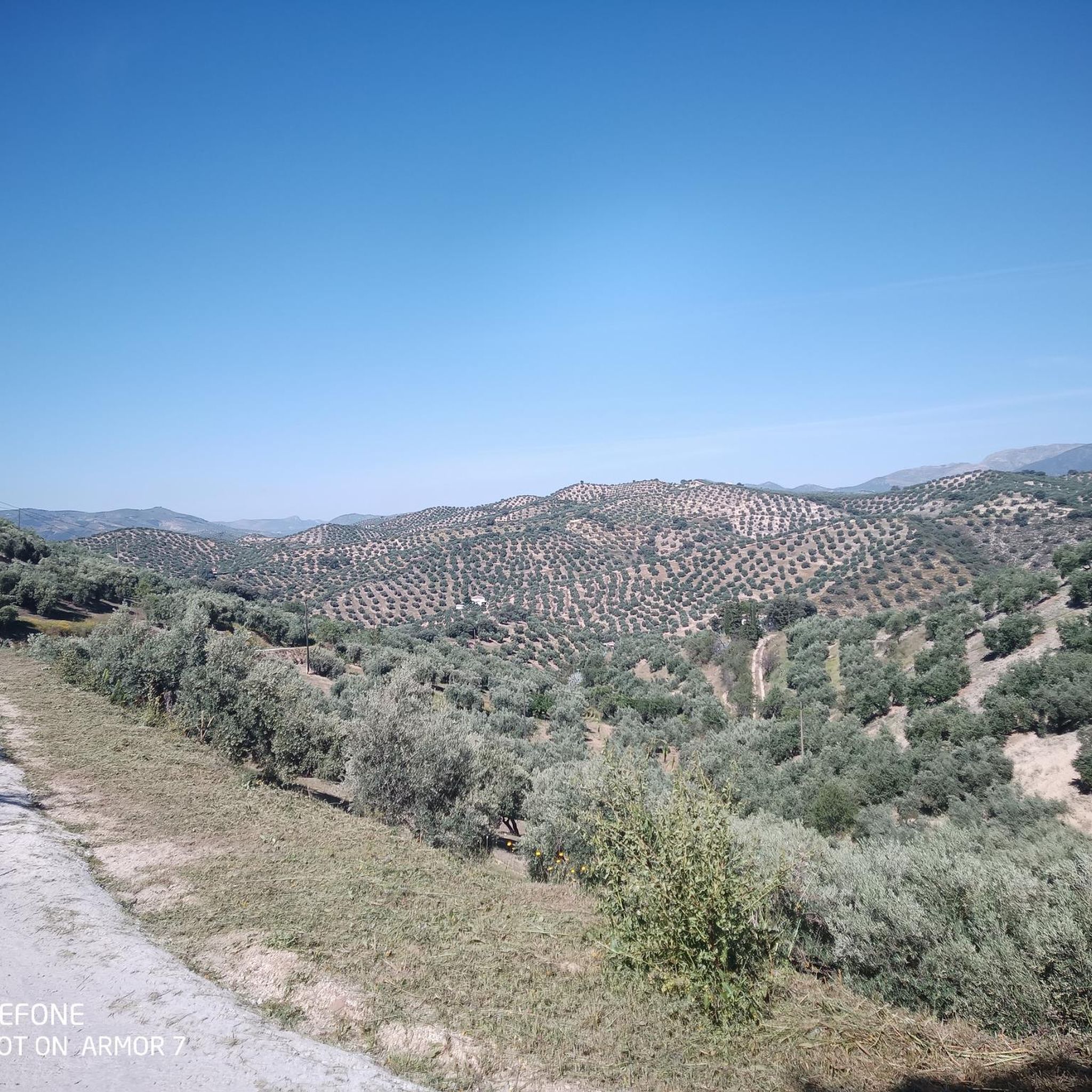
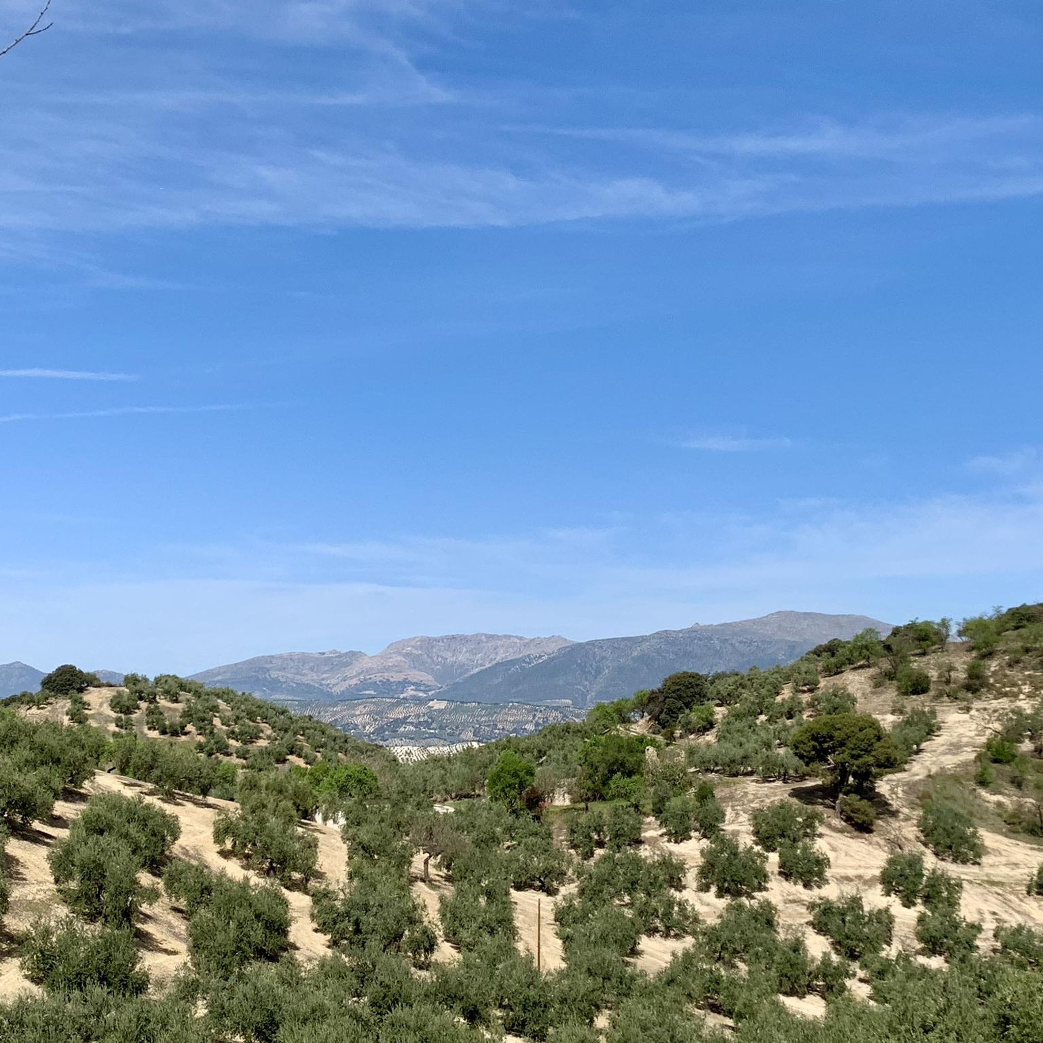
Hiking around Algarinejo, Granada, offers a diverse landscape characterized by rolling hills, olive groves, and the proximity to the Sierra Horconera mountain range. The region features varied terrain, including paths through agricultural areas and more challenging ascents into the sierras. Water features like the Iznájar reservoir also influence some of the hiking trails, providing scenic routes.
Best hiking trails around Algarinejo
- The most popular hiking route is La Tiñosa Public Trail, a 7.8 miles (12.5 km) trail that takes…
Last updated: October 12, 2026
4.8
(22)
191
hikers
12.5km
04:28
700m
700m
Moderate hike. Good fitness required. Mostly accessible paths. Sure-footedness required.
3.9
(10)
38
hikers
6.33km
01:48
140m
150m
Easy hike. Great for any fitness level. Easily-accessible paths. Suitable for all skill levels.

4.0
(6)
31
hikers
6.81km
01:59
170m
170m
Easy hike. Great for any fitness level. Easily-accessible paths. Suitable for all skill levels.
5.0
(4)
15
hikers
7.66km
02:11
180m
180m
Moderate hike. Good fitness required. Easily-accessible paths. Suitable for all skill levels.
7
hikers
5.66km
01:40
160m
160m
Easy hike. Great for any fitness level. Easily-accessible paths. Suitable for all skill levels.
Get access to more routes and recommendations from other explorers.
Already have an account?
Our route recommendations are based on thousands of hikes, rides, and runs completed by other people on komoot.
Start today with a free account
Your next adventure awaits.

Tips from the Community

This is supposedly the most photographed street in Andalusia. It's certainly fascinating.
0
0


Beautiful views. There is no shade, so it should be taken into account if you wish to rest before starting the return.
1
0
Good views, although the cave is more a place of passage than a place of rest, because it is, above all, a place to shelter animals.
0
0

Iznájar's location on a small cape surrounded by water makes it a place of great scenic value. The entire town has infinite viewpoints that make us enjoy the views of the Genil River and the reservoir. Passing through Iznájar, it is worth getting lost in its narrow streets and, above all, seeing the Patio de las Comedias, full of blue pots.
1
0
From Puente Fernández we can see the Genil River that feeds the Iznájar Reservoir and part of the old Molinillo bridge, which is covered when the water level is high.
2
1

On a hill watching over its reservoir is this beautiful town with white houses and narrow, steep streets crowned by a singular castle of Arab construction. In the 19th century this place was one of the cradles of the popular uprisings part of the movement called by some as "indigenous socialism".
2
0
The peak of La Tiñosa is the highest in the province of Córdoba with its 1570 meters. It is part of the Sierra de la Horconera, in the Subbética Cordobesa.
2
0
Frequently Asked Questions
How many hiking trails are available in the Algarinejo area?
There are currently 9 hiking routes documented around Algarinejo on komoot. These range from easy strolls to more challenging mountain ascents, offering a variety of experiences for different fitness levels.
Are there any easy or family-friendly hiking options in Algarinejo?
Yes, Algarinejo offers 3 easy routes suitable for families or those looking for a relaxed walk. An excellent option is the Iznájar – Iznájar Village loop from Iznájar, which is 6.3 km long and takes about 1 hour 48 minutes to complete.
What kind of terrain can I expect on hikes around Algarinejo?
The terrain around Algarinejo is diverse, characterized by rolling hills, extensive olive groves, and views towards the Sierra Horconera mountain range. You'll find paths through agricultural areas, alongside the Iznájar reservoir, and more challenging ascents into the sierras.
Are there any circular walks available in Algarinejo?
Yes, several routes in Algarinejo are circular. For example, the easy Iznájar Village – Courtyard of the Comedies loop from Iznájar is a 6.8 km loop, and the moderate View of Pico Bermejo – Puerto del Cerezo loop from Sierra de Pollos offers a longer, more challenging circular experience.
What are some notable natural attractions or viewpoints to see while hiking?
Hikers can discover several natural attractions and viewpoints. Highlights include Puerto del Cerezo, the summit of Pico de la Tiñosa, and the View of the Sierras Subbéticas. You might also explore the Cueva del Morrión.
Are there any historical landmarks or places of interest near the trails?
Yes, the region offers historical sites. Near some trails, you can find the impressive Iznájar Castle and the Parish Church of Saint James the Apostle, offering a glimpse into the area's heritage.
What do other hikers say about the trails in Algarinejo?
The hiking trails in Algarinejo are highly regarded by the komoot community, with an average rating of 4.3 stars from over 60 reviews. Hikers often praise the varied terrain, scenic views, and the options available for different difficulty levels.
What is the most challenging hike in Algarinejo?
For experienced hikers, the most challenging route is Sierra Horconera – Pico Bermejo por el Puerto del Cerezo. This difficult 14.0 km path features significant elevation gain and leads through mountainous terrain towards Pico Bermejo, taking approximately 5 hours and 2 minutes to complete.
Are there any hikes that offer views of the Iznájar reservoir?
Yes, some routes in the area provide scenic views of the Iznájar reservoir. The Iznájar – Iznájar Village loop from Iznájar, for instance, explores the area around Iznájar Village, which is situated by the reservoir.
What is the typical duration for hikes in Algarinejo?
Hike durations vary significantly depending on the route's difficulty and length. Easy trails like the Iznájar – Iznájar Village loop can be completed in under 2 hours, while more difficult routes such as Sierra Horconera – Pico Bermejo can take over 5 hours.
What is the best time of year to go hiking in Algarinejo?
The best time for hiking in Algarinejo is typically during the spring (March to May) and autumn (September to November) when temperatures are milder and the landscape is vibrant. Summer can be very hot, making early morning or late afternoon hikes preferable, while winter offers cooler, crisp conditions.
Most popular attractions around Algarinejo

Get inspired with the komoot mobile app


Explore more
Browse the best Hikes in other regions.
