The best walks and hikes around Brande-Hörnerkirchen
4.6
(2050)
8,158
hikers
18
hikes
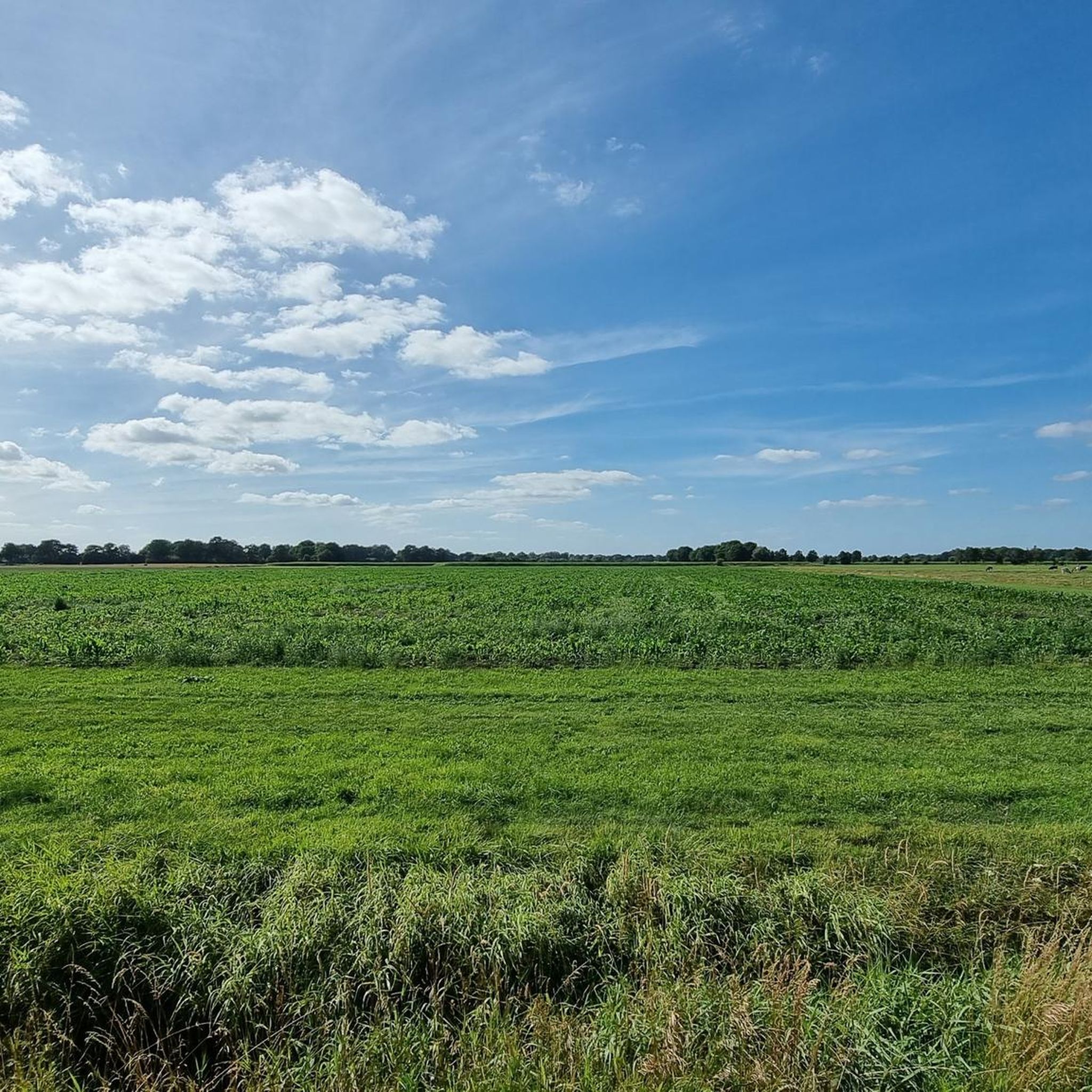
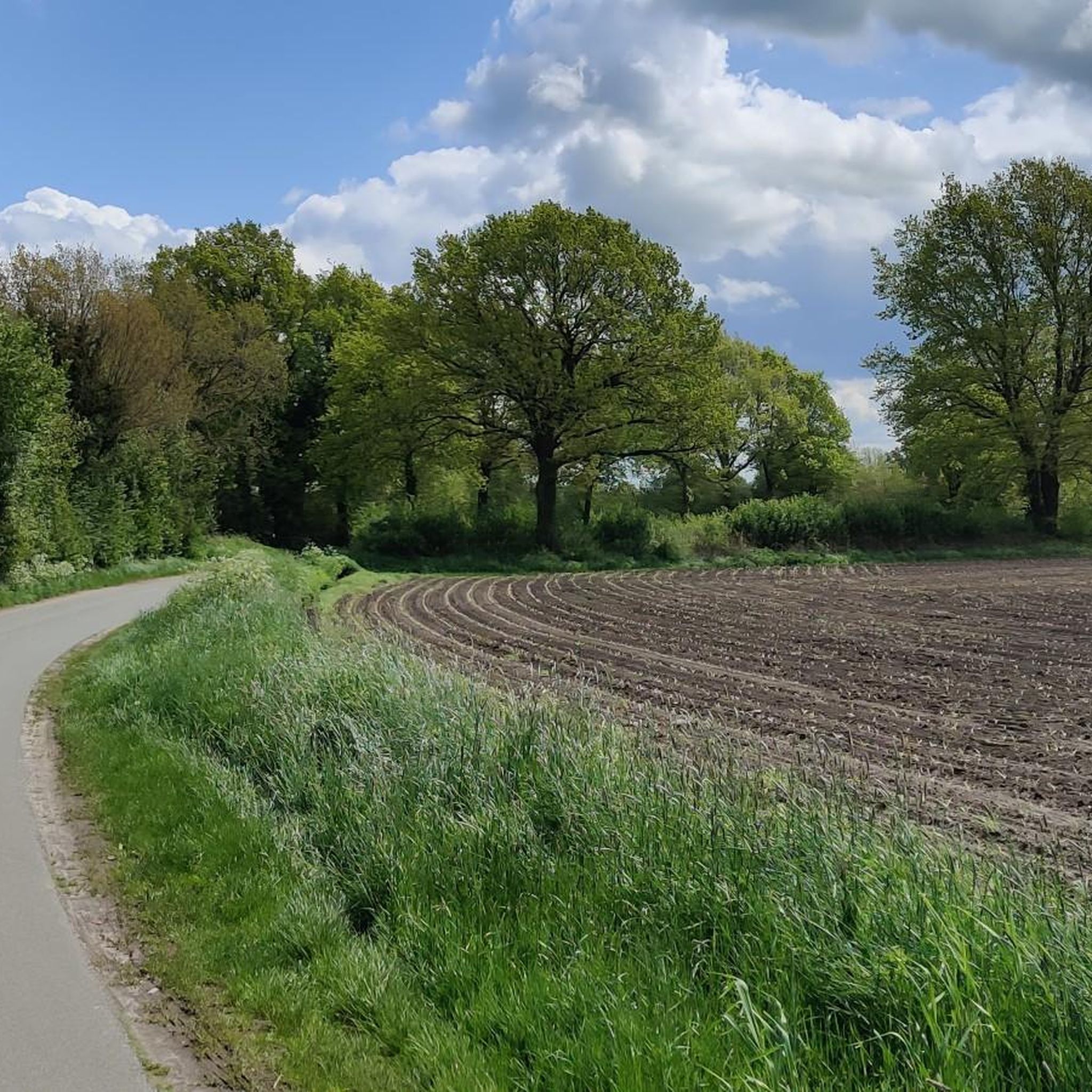
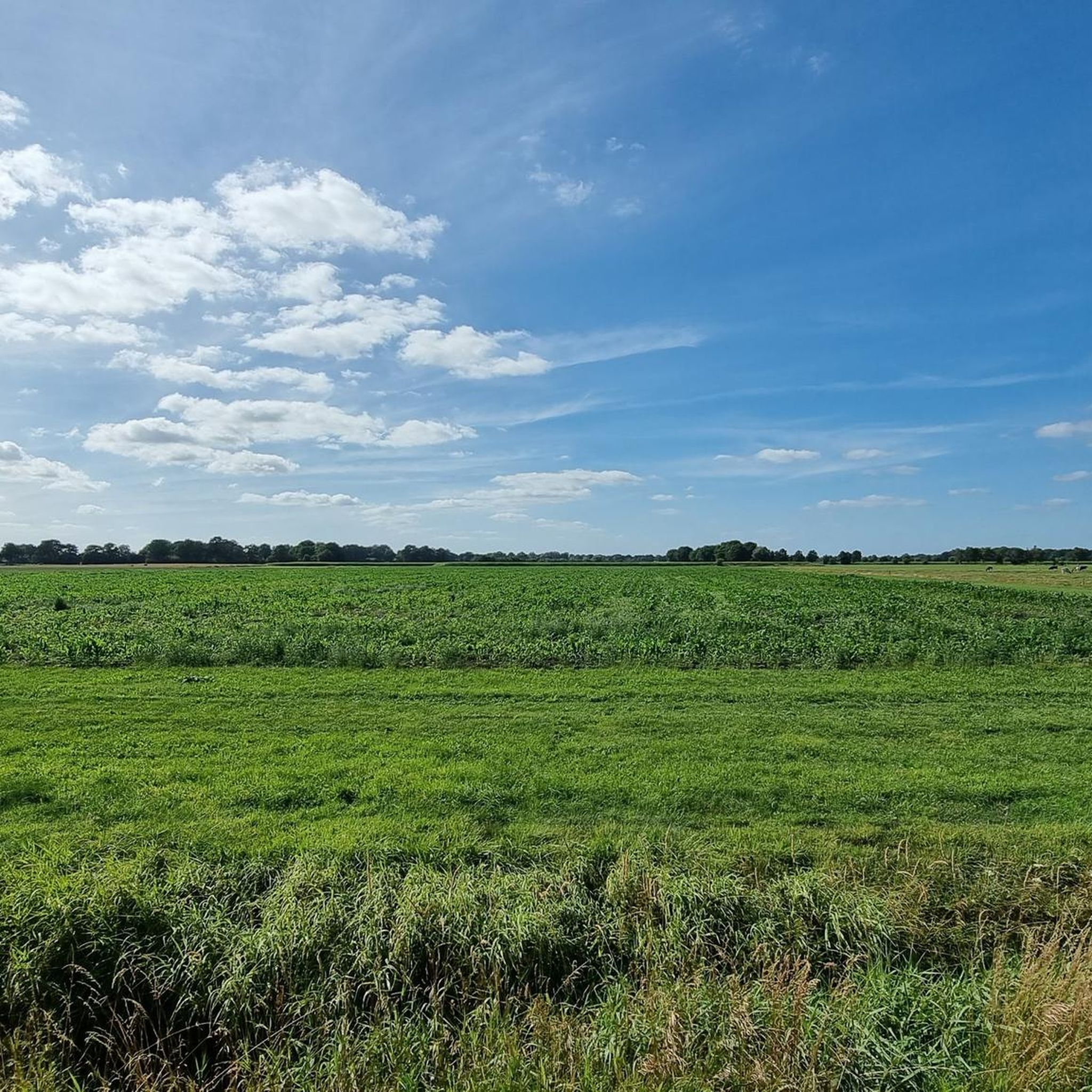
Hiking around Brande-Hörnerkirchen offers varied terrain, including tree nursery areas, dense forests, and agricultural lands. The region features the source area of the Offenau river and is traversed by the Krückau River. Hikers can experience the diverse landscapes of Schleswig-Holstein, including areas bordering the Bokelseßer Moor.
Best hiking trails around Brande-Hörnerkirchen
- The most popular hiking route is Dauenhof Station loop from Hörnerkirchen, a 4.3 miles (7.0 km) trail that takes 1 hour 45 minutes to complete. This easy route explores the local surroundings of Hörnerkirchen.
- Another top favourite among local hikers is Hotel Bokel – Mill by the Lake – Bokeler See loop from Hörnerkirchen, a moderate 6.9 miles (11.2 km) path. This route leads past the Bokeler See and through the area's natural features.
- Local hikers also love the Bokeler See – Hotel Bokel – Mill by the Lake loop from Hörnerkirchen, an 8.0 miles (12.8 km) trail leading through varied landscapes near the Bokeler See, often completed in about 3 hours 15 minutes.
- Hiking around Brande-Hörnerkirchen is defined by tree nursery areas, dense forests, and river regions. The network offers options for different ability levels, from easy walks to moderate excursions.
- The routes in Brande-Hörnerkirchen are highly rated by the komoot community with an average score of 4.6 stars from over 1,900 reviews. More than 8,100 hikers have used komoot to explore Brande-Hörnerkirchen's varied terrain.
Last updated: June 22, 2026
5.0
(3)
27
hikers
7.00km
01:46
10m
10m
Easy hike. Great for any fitness level. Easily-accessible paths. Suitable for all skill levels.
4.3
(3)
15
hikers
Moderate hike. Good fitness required. Easily-accessible paths. Suitable for all skill levels.

Sign up for free
8
hikers
Moderate hike. Good fitness required. Easily-accessible paths. Suitable for all skill levels.
4.5
(2)
13
hikers
5.20km
01:19
10m
10m
Easy hike. Great for any fitness level. Easily-accessible paths. Suitable for all skill levels.
4.5
(2)
7
hikers
7.79km
01:59
20m
20m
Easy hike. Great for any fitness level. Easily-accessible paths. Suitable for all skill levels.
Get access to more routes and recommendations from other explorers.
Sign up for free
Already have an account?
Our route recommendations are based on thousands of hikes, rides, and runs completed by other people on komoot.
Start today with a free account
Your next adventure awaits.
Login or Signup
Tips from the Community

Beautiful estate with farm shop and bakery
0
0
Good hotel and restaurant with a great terrace by the lake.
0
0

This was the test ride for the ADFC tour entitled "South Holstein's Moorland Landscape," which starts at 11 a.m. on May 17, 2025, at Tornesch Town Hall. I hope for a lot of participation. The test ride with my tour partner went well.
0
0

You can do a loop around the lake. But it's more of a single-track route. For the adventurous
0
0
That was the goal of the tour. But food is only available there in the evenings and only for events. But we used the chairs outside in the sun.
0
0

a wonderful place directly on the mill pond invites you to linger
0
0

A beautiful place for a little break. A narrow path about 2 km long runs directly along the lake and there are a few benches with a view of the lake.
1
0

Frequently Asked Questions
How many hiking trails are available in Brande-Hörnerkirchen?
There are over 18 hiking trails around Brande-Hörnerkirchen, offering a variety of experiences for different skill levels. The komoot community has rated these routes highly, with an average score of 4.6 stars.
What kind of terrain will I encounter on hikes in Brande-Hörnerkirchen?
Hikers in Brande-Hörnerkirchen can expect a diverse landscape, including tree nursery areas, dense forests, and agricultural lands. The region also features the serene source area of the Offenau river and is traversed by the Krückau River, offering varied natural scenery.
Are there easy hiking options suitable for beginners or families?
Yes, Brande-Hörnerkirchen offers 11 easy hiking routes. A great option for a relaxed walk is the Dauenhof Station loop from Hörnerkirchen, which is 7.0 km long and explores the local surroundings.
What are some notable natural features or landmarks to see while hiking?
The region is rich in natural beauty. You can explore areas bordering the Bokelseßer Moor or follow the Krückau River. Highlights include the Bokeler Heide Nature Reserve and the Waldsee Spring and Picnic Area. The area is also part of the Schlei-Eider-Elbe hiking trail and the European long-distance paths E1 and E6.
Are there any circular hiking routes in Brande-Hörnerkirchen?
Yes, many routes in Brande-Hörnerkirchen are circular. For example, the Hotel Bokel – Mill by the Lake – Bokeler See loop from Hörnerkirchen is a moderate 11.2 km circular path that leads past the Bokeler See and through natural features.
What do other hikers enjoy most about the trails in Brande-Hörnerkirchen?
The komoot community highly rates the trails in Brande-Hörnerkirchen, with an average score of 4.6 stars from over 1,900 reviews. Hikers often praise the varied landscapes, including tree nursery areas, dense forests, and the serene river regions, which offer a glimpse of 'original Schleswig-Holstein'.
Are there any specific attractions or points of interest near the hiking trails?
Beyond the trails, you can visit the Forest Chapel on the Monks' Way, known as the smallest church in Northern Germany. Other points of interest include Bronze Age Burial Mound of Langeln and the Mönkloh Village and Playground. Barmstedt Castle Island, with its art installations and café, is also nearby.
Can I find places to rest or take shelter along the routes?
Yes, there are several huts and shelters available. You can find a large shelter with nature information, a Wildlife Observation Hut, and a Shelter at Krückauniederung, providing spots for a break.
Are there any longer, more challenging routes for experienced hikers?
While there are no 'difficult' routes, there are 7 moderate trails for those seeking a longer excursion. The Bokeler See – Hotel Bokel – Mill by the Lake loop from Hörnerkirchen is a moderate 12.8 km trail that takes about 3 hours 15 minutes to complete.
Is Brande-Hörnerkirchen suitable for wild camping or trekking?
The region is integrated into the Schleswig-Holstein Trail (SHS), which offers opportunities for wild camping at designated trekking sites. Some routes are specifically designed for ultralight trekking, allowing legal overnight stays in nature.
What are the typical trail lengths for hikes in this area?
Trail lengths vary, with options ranging from shorter walks like the 5.2 km Pam's Mini Gallery loop from Hörnerkirchen to longer moderate routes such as the 12.8 km Bokeler See – Hotel Bokel – Mill by the Lake loop from Hörnerkirchen.
Most popular routes around Brande-Hörnerkirchen
Most popular attractions around Brande-Hörnerkirchen

Get inspired with the komoot mobile app


Explore more
Browse the best Hikes in other regions.
