The best road cycling routes around Campillo De Altobuey
5.0
(2)
99
riders
5
rides
Road cycling routes around Campillo De Altobuey traverse the Manchuela region, characterized by a diverse landscape of hills and valleys. The area is situated near the Iberian mountain range and the Júcar river basin, offering varied topography for cyclists. Routes often pass through pine forests and vineyards, providing scenic backdrops. The region's tranquil roads are suitable for exploring its natural features and cultural heritage.
Best road cycling routes around Campillo De Altobuey
- The most popular road cycling route is Alarcón…
Last updated: July 11, 2026
5
riders
89.8km
05:14
780m
780m
Hard road ride. Very good fitness required. Mostly well-paved surfaces and easy to ride.
2
riders
82.8km
03:24
530m
530m
Moderate road ride. Good fitness required. Mostly well-paved surfaces and easy to ride.

Sign up for free
1
riders
99.6km
04:14
730m
730m
Moderate road ride. Good fitness required. Mostly well-paved surfaces and easy to ride.
5.0
(2)
28
riders
93.4km
04:28
1,110m
1,110m
Hard road ride. Very good fitness required. Mostly well-paved surfaces and easy to ride.
8
riders
91.7km
04:55
1,160m
1,160m
Hard road ride. Very good fitness required. Mostly well-paved surfaces and easy to ride.
Our route recommendations are based on thousands of hikes, rides, and runs completed by other people on komoot.
Start today with a free account
Your next adventure awaits.
Login or Signup
Popular around Campillo De Altobuey
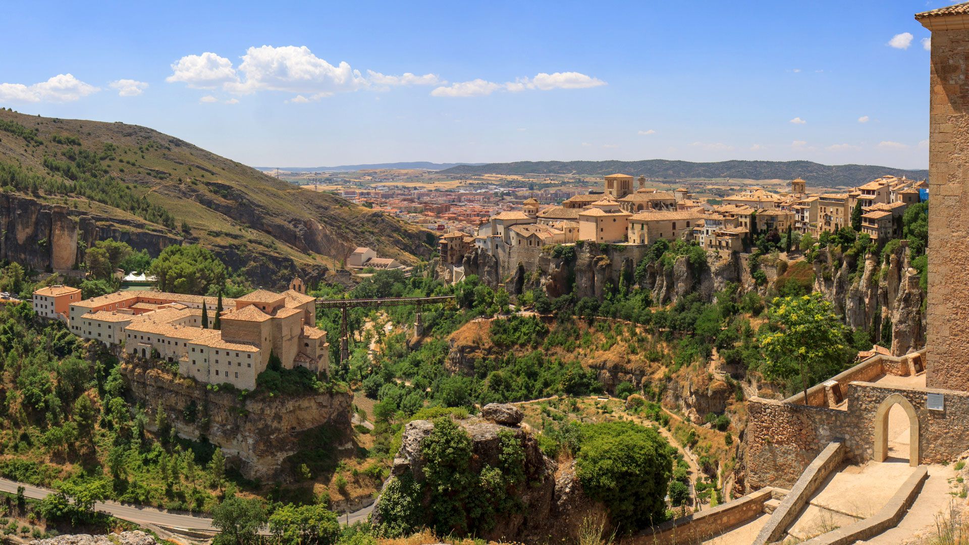
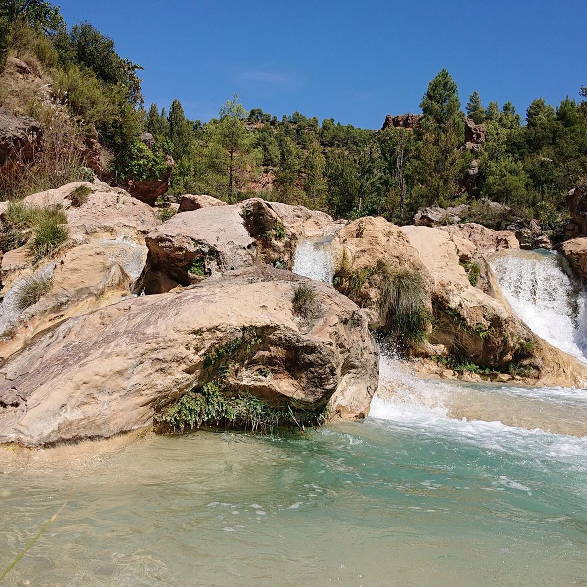
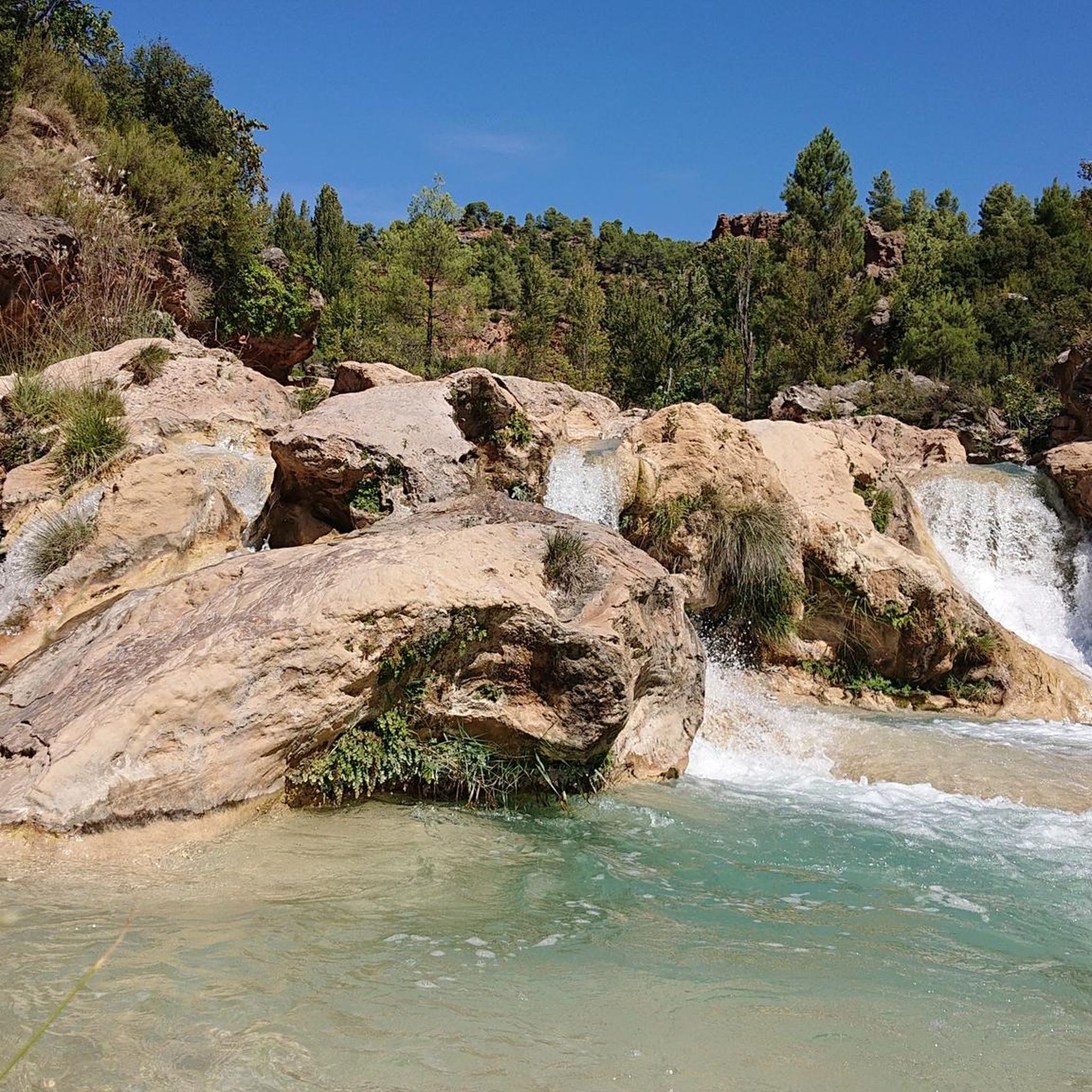
Other adventures around Campillo De Altobuey

Tips from the Community

Beautiful viewpoint of the dam, the river and the factory.
11
0
The Contreras dam (Embalse de Contreras) is a 129-meter-high arch dam built in 1972. Located on the border of the provinces of Cuenca (Castilla-La Mancha) and Valencia, the dam spans the Cabriel and Guadazaón rivers. The reservoir serves mainly for water supply, flood protection, and irrigation.
11
1
7 bow bridge, so beautiful
11
0
Villargordo del Cabriel is a municipality in the Requena-Utiel region, in the province of Valencia. The town is located on the banks of the Cabriel River and is on the border between Castilla-La Mancha and the Valencia region. One of the biggest tourist attractions is the beautiful nature, which is remarkably well preserved.
14
0

Casasimarro is a vibrant, artisanal town with a strong personality, known for both its musical tradition (guitars) and its agricultural production (mushrooms). It combines heritage, culture, and nature in a way that is characteristic of the La Manchuela region of Cuenca. Casasimarro is famous for its luthier tradition, unique in Castilla-La Mancha, where several generations have built guitars and instruments for nationally and internationally renowned musicians. This identity is reflected in the Monument to the Guitar, an emblem of the town. In addition to its musical tradition, Casasimarro is known as the mushroom capital, a deeply rooted agricultural activity that is central to its economy and gastronomy.
3
0
The road between Cardenete and Enguídanos, in the Serranía Baja region of Cuenca, is one of the most beautiful stretches in this area. Although not officially designated as a "scenic road," the route is featured on hiking and cycling itineraries that highlight its stunning landscapes, rivers, gorges, mountains, and natural monuments.
3
0
Given the relief and geography of Yémeda, a very narrow valley next to the Guadazaón river and surrounded by mountains.
3
0

A beautiful castle, now converted into a Parador (state-run hotel).
0
1
Frequently Asked Questions
What kind of terrain can I expect on road cycling routes around Campillo de Altobuey?
The road cycling routes around Campillo de Altobuey traverse a diverse landscape of hills and valleys within the Manchuela region. You'll encounter varied topography, including pine forests, vineyards, and areas near the Iberian mountain range and the Júcar river basin. The region offers a mix of ascents and descents, providing engaging rides for different skill levels.
Are there road cycling routes suitable for different difficulty levels?
Yes, the routes in Campillo de Altobuey cater to various abilities. While there are no easy routes listed, you can find 2 moderate routes and 3 difficult routes. For example, the Entry to La Mancha via Iniesta — circular from Motilla del Palancar is a moderate option, while the Puertecillo de Yemeda – Enguídanos loop from Motilla del Palancar presents a more challenging ride with significant elevation gain.
What natural attractions can I see while road cycling in the area?
The region is rich in natural beauty. You can expect to see vineyards and pine forests along many routes. Notable natural features nearby include the impressive waterfalls and tufa canyon formations of Las Chorreras del Cabriel Natural Monument, and the vast Hoces del Cabriel Natural Reserve, known for its diverse flora and fauna. The Alarcón Reservoir Loop from Motilla del Palancar offers views of the reservoir itself.
Are there any historical landmarks or cultural sites along the road cycling routes?
Yes, the area around Campillo de Altobuey is dotted with historical and cultural sites. You might pass by the historic Castillo de Alarcón, or explore charming settlements like Enguídanos and Almodóvar del Pinar. The town of Campillo de Altobuey itself features the 16th-century Parochial Church of San Andrés and the Baroque Sanctuary of the Virgin of the Hill.
What is the best time of year for road cycling in Campillo de Altobuey?
The region's climate generally makes it suitable for road cycling for much of the year. Spring and autumn typically offer pleasant temperatures and vibrant scenery, ideal for exploring the varied terrain and vineyards. Summers can be warm, so early morning or late afternoon rides are recommended during those months.
Are there any circular road cycling routes available?
Yes, many of the road cycling routes in the area are circular, allowing you to start and end in the same location. Examples include the Alarcón Reservoir Loop from Motilla del Palancar and the Castillo de Alarcón — circular by the Río Júcar, both offering scenic round trips.
What do other road cyclists say about the routes in Campillo de Altobuey?
The road cycling routes in Campillo de Altobuey are highly rated by the komoot community, with an average score of 5.0 stars from 2 reviews. Cyclists often praise the tranquil roads, beautiful natural backdrops, and the varied terrain that includes hills, valleys, and vineyards, making for an engaging experience.
Is there parking available for cyclists in Campillo de Altobuey or nearby starting points?
While specific parking locations are not detailed, Campillo de Altobuey and nearby towns like Motilla del Palancar are generally tranquil areas. You can typically find street parking in these municipalities, especially near the start points of popular routes. It's always advisable to check local regulations upon arrival.
Can I combine road cycling with other outdoor activities in the region?
Absolutely. The region is excellent for combining road cycling with other outdoor pursuits. The Hoces del Cabriel Natural Reserve is a prime location for hiking and observing diverse flora and fauna. The Pinar de San Isidro and Cerro de Santa Quiteria also offer tranquil spots for walks and scenic views, perfect for a post-ride exploration.
Are there any long-distance road cycling routes in the area?
Yes, the routes around Campillo de Altobuey are generally long-distance, with most exceeding 80 kilometers (50 miles). For instance, the Cabriel Valley Viewpoint – Villargordo del Cabriel loop from Graja de Iniesta covers approximately 91.7 kilometers (57 miles), offering an extensive ride through the landscape.
What kind of scenery can I expect on the route to the Cabriel Valley Viewpoint?
The Cabriel Valley Viewpoint – Villargordo del Cabriel loop from Graja de Iniesta takes you through mountainous terrain and offers stunning vistas of the Cabriel Valley. This route is known for its scenic beauty, showcasing the dramatic geological formations and natural landscapes of the region.
Are there any routes that follow the Júcar river?
Yes, the Júcar river basin is a prominent feature of the region. The Castillo de Alarcón — circular by the Río Júcar route specifically follows the Júcar river, providing picturesque views of the river and the historic castle.
Most popular routes around Campillo De Altobuey
Most popular attractions around Campillo De Altobuey

Get inspired with the komoot mobile app


Explore more
Browse the best Road cycling routes in other regions.
