The best road cycling routes around Valdemaqueda
3.3
(23)
2,081
riders
61
rides
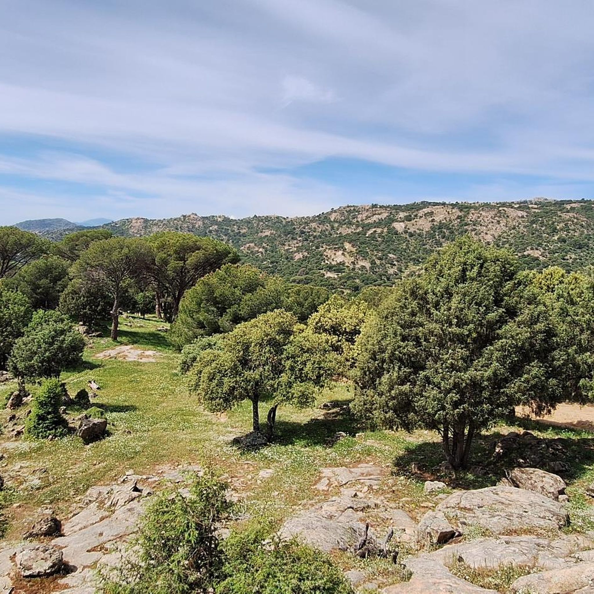
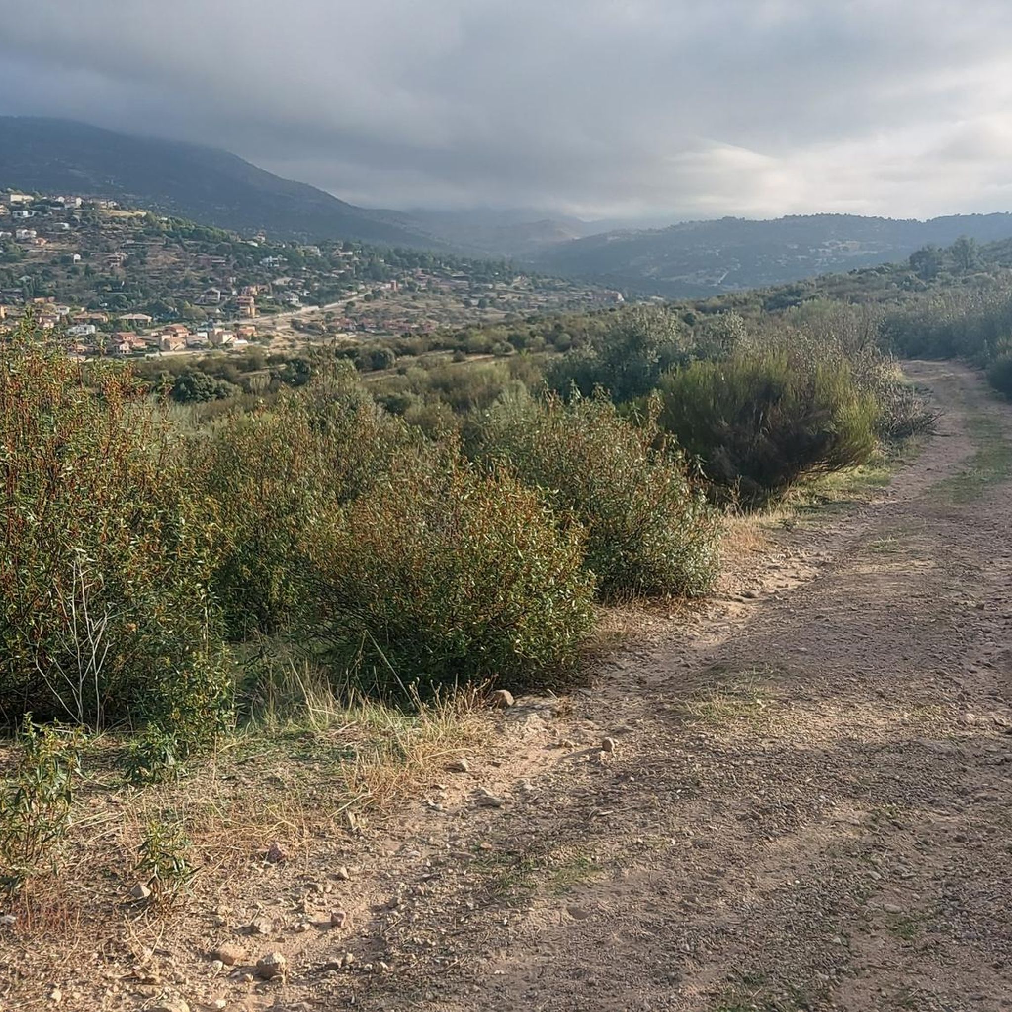
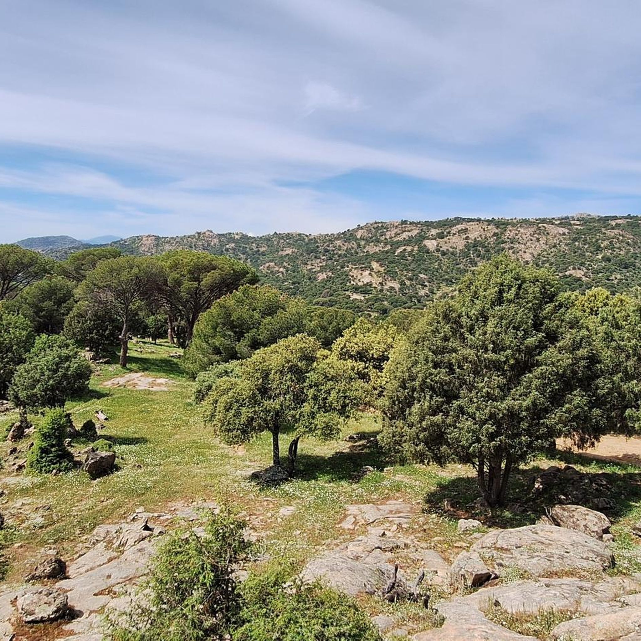
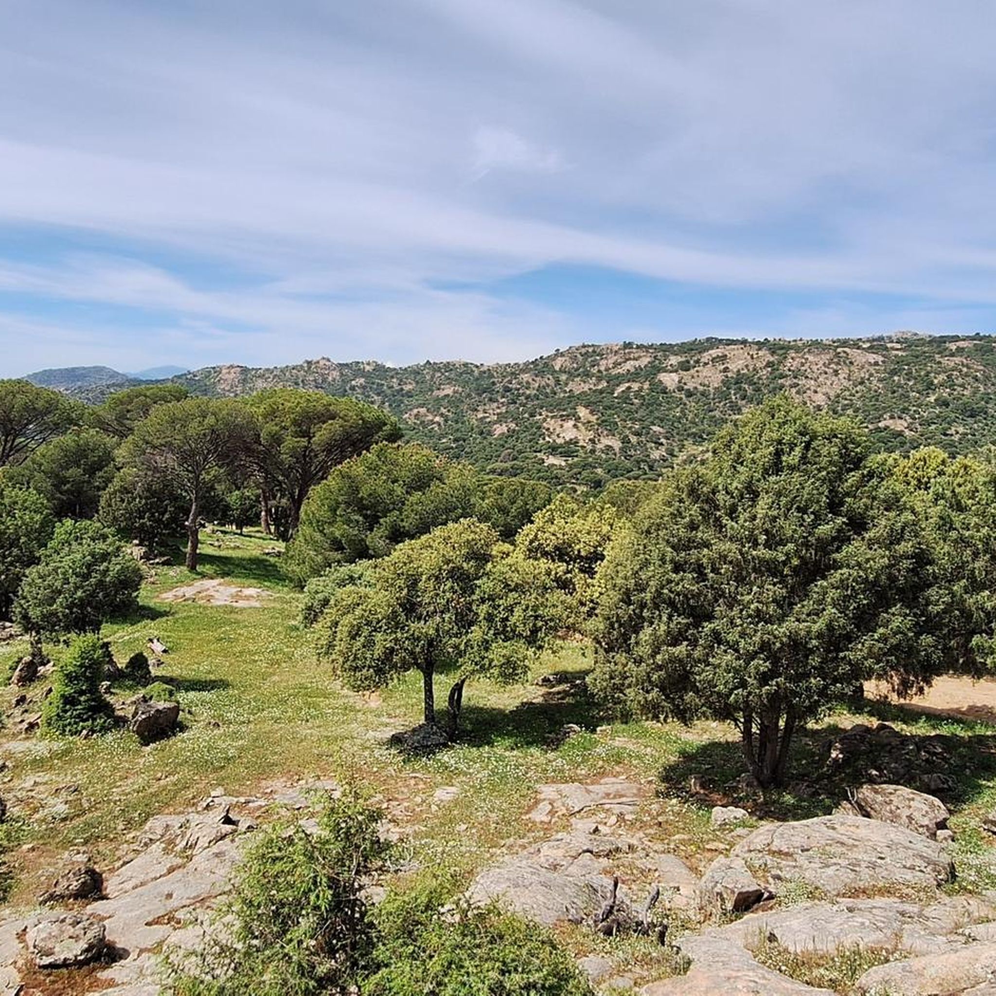
Road cycling routes around Valdemaqueda traverse the mountainous terrain of the Sierra Oeste region, characterized by a mix of pine and oak forests. The area features diverse elevation profiles, offering both challenging climbs and rewarding descents. The Cofio River flows through the landscape, contributing to the natural setting. This region is part of the broader CiclaMadrid network, providing access to varied cycling opportunities.
Best road cycling routes around Valdemaqueda
- The most popular road cycling route is Cruz Verde Pass –…
Last updated: July 11, 2026
77
riders
102km
05:24
1,920m
1,920m
Hard road ride. Very good fitness required. Mostly well-paved surfaces and easy to ride.
50
riders
60.1km
03:28
1,400m
1,400m
Hard road ride. Very good fitness required. Mostly well-paved surfaces and easy to ride.

Sign up for free
47
riders
147km
07:31
2,550m
2,550m
Hard road ride. Very good fitness required. Some segments of this route may be unpaved and difficult to ride.
4.0
(2)
48
riders
69.1km
03:35
1,230m
1,230m
Hard road ride. Very good fitness required. Mostly well-paved surfaces and easy to ride.
23
riders
107km
05:23
1,620m
1,620m
Hard road ride. Very good fitness required. Mostly well-paved surfaces and easy to ride.
Get access to more routes and recommendations from other explorers.
Sign up for free
Already have an account?
Our route recommendations are based on thousands of hikes, rides, and runs completed by other people on komoot.
Start today with a free account
Your next adventure awaits.
Login or Signup

Other adventures around Valdemaqueda

Tips from the Community

Beautiful village with an enviable environment
0
1

Quiet village with a fountain, all of these routes are highly recommended.
0
0

The hardest section is the beginning, then it goes easy until the last 3km when it gets harder again. Be patient with the traffic, if you go on the weekend there are a lot of motorcycles.
0
0

The Hermitage of Santisimo Cristo de Gracia may date from the late 15th century. The ranchers' brotherhood was founded in this hermitage.
1
0
Historical building of an old convent from the 16th century.
1
0

Town located at the foot of Las Machotas and the Cruz Verde port, in the vicinity of San Lorenzo de El Escorial. From the quarry located there, the granite used to build the monastery of the town located on the other side of Pico del Fraile was extracted.
0
0

The Cruz Verde pass is a mountain pass in the Guadarrama mountain range (Central system), located at 1256 m altitude, between the municipalities of San Lorenzo de El Escorial and Robledo de Chavela (Community of Madrid, Spain). It is flanked by the elevations of Las Machotas (1466 m a.s.l.), which extend in its eastern part, and Cerro de San Benito (1626 m a.s.l.), which rises to the west.
0
0

Robledo de Chavela is a crossroads between the high mountains of Guadarrama and the western mountains of Madrid. It is an ideal place for a stop along the way and to get supplies.
0
1
Frequently Asked Questions
How many road cycling routes are available around Valdemaqueda?
There are over 60 road cycling routes around Valdemaqueda, offering a wide range of options for different skill levels. The region is known for its mountainous terrain and scenic landscapes.
What kind of terrain can I expect on road cycling routes in Valdemaqueda?
Road cycling routes in Valdemaqueda traverse the mountainous Sierra Oeste region, featuring a mix of pine and oak forests. You can expect diverse elevation profiles, including both challenging climbs and rewarding descents, with routes often following quiet secondary roads.
What is the general difficulty level of road cycling routes in Valdemaqueda?
The majority of road cycling routes in Valdemaqueda are rated as 'difficult' or 'moderate'. For example, routes like Cruz Verde Pass – La Escondida loop from Robledo de Chavela involve significant elevation gain. While many routes feature substantial climbs, the region also offers varied terrain to suit different abilities.
Are there any circular road cycling routes in Valdemaqueda?
Yes, many of the road cycling routes in the Valdemaqueda area are designed as loops. For instance, the Cruz Verde Pass – Puerto de Arrebatacapas loop from Santa María de la Alameda is a popular circular path offering panoramic views.
What natural attractions or landmarks can I see while road cycling in Valdemaqueda?
While cycling, you can enjoy views of the Cofio River and the surrounding pine and oak forests. The region is also close to several reservoirs like Picadas Reservoir and La Aceña Reservoir. You might also encounter mountain passes such as Puerto de Malagón.
Is there a historical bridge suitable for cycling in the area?
Yes, the historic Mocha Bridge (Puente Mocha), also known as the 'Bridge of the Five Eyes,' spans the Cofio River near Valdemaqueda. This medieval granite bridge is explicitly noted as being suitable for cycling, offering a picturesque route with views of the surrounding forests and hills. You can learn more about it on Wikipedia.
What do other road cyclists enjoy most about road cycling in Valdemaqueda?
The road cycling routes around Valdemaqueda are highly rated by the komoot community, with an average score of 3.4 stars from over 20 reviews. Cyclists often praise the challenging climbs, rewarding descents, and the stunning natural beauty of the pine and oak forests and river valleys.
What is the best time of year for road cycling in Valdemaqueda?
Given its mountainous terrain, the spring and autumn months generally offer the most pleasant conditions for road cycling in Valdemaqueda, with milder temperatures. Summer can be hot, and winter may bring colder conditions, especially at higher elevations.
Are there any longer road cycling routes for experienced riders?
Yes, for experienced riders seeking longer distances and significant elevation, routes like the Puerto de Arrebatacapas – Puerto de la Lancha loop from Robledo de Chavela cover over 147 km with substantial climbing, providing a demanding and rewarding experience.
Are there any easier road cycling options for less experienced riders?
While many routes feature significant climbs, the broader Sierra Oeste region offers varied terrain. You can find sections with fewer level differences, particularly in valleys. For a moderately challenging but shorter option, consider the La Escondida – Santa María de la Alameda loop from Santa María de la Alameda, which is about 60 km.
Is parking available for cyclists in Valdemaqueda?
While specific parking areas for cyclists are not detailed, Valdemaqueda is a village, and parking is generally available within or on the outskirts of the town. It's advisable to check local signage upon arrival for the most suitable spots.
How can I get to Valdemaqueda by public transport for cycling?
Valdemaqueda is accessible by public transport, typically via bus services connecting it to larger towns in the Community of Madrid. It's recommended to check current bus schedules and policies regarding bicycle transport with local operators before planning your trip.
Most popular routes around Valdemaqueda
Most popular attractions around Valdemaqueda

Get inspired with the komoot mobile app


Explore more
Browse the best Road cycling routes in other regions.
