The best walks and hikes around Quintanapalla
4.4
(25)
205
hikers
29
hikes
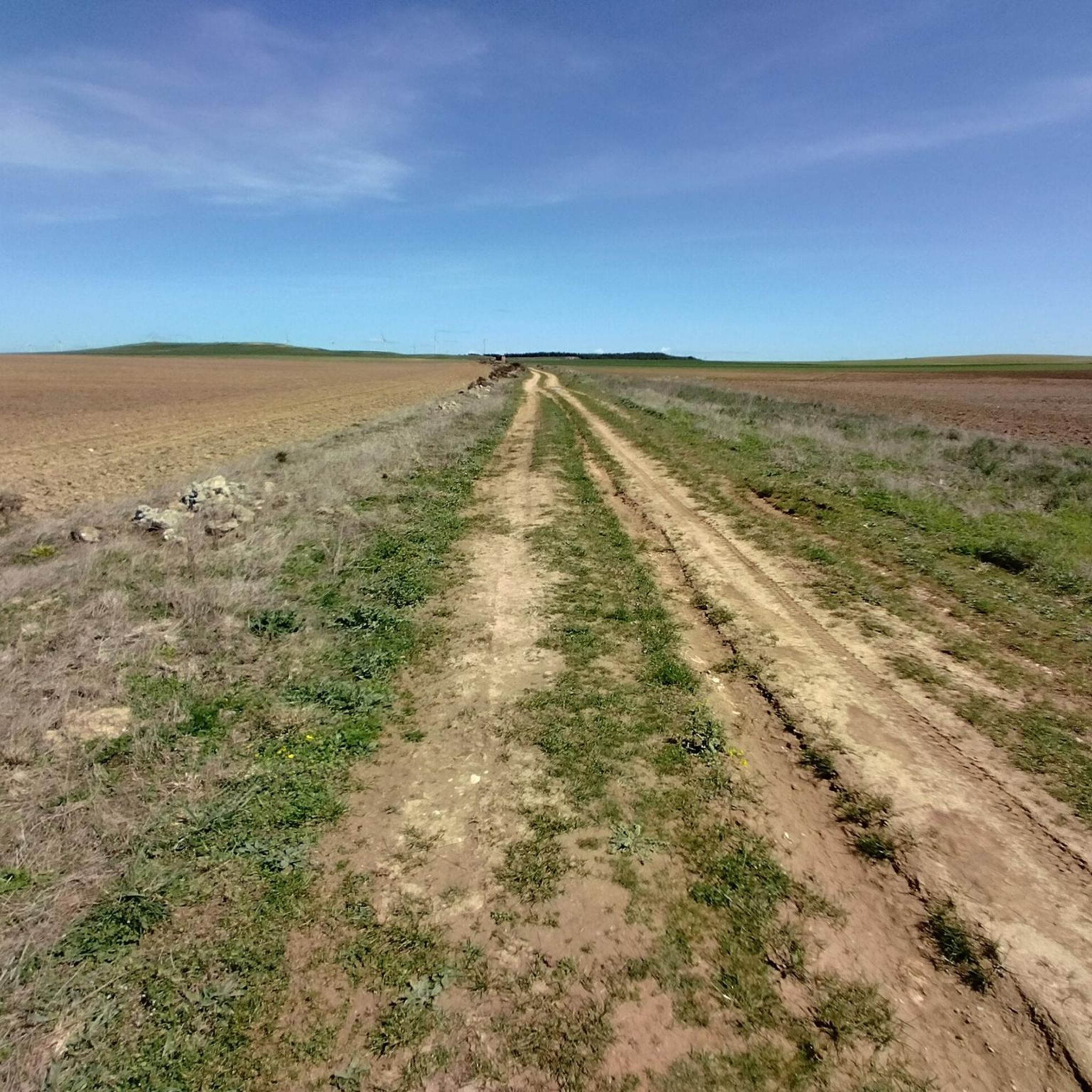
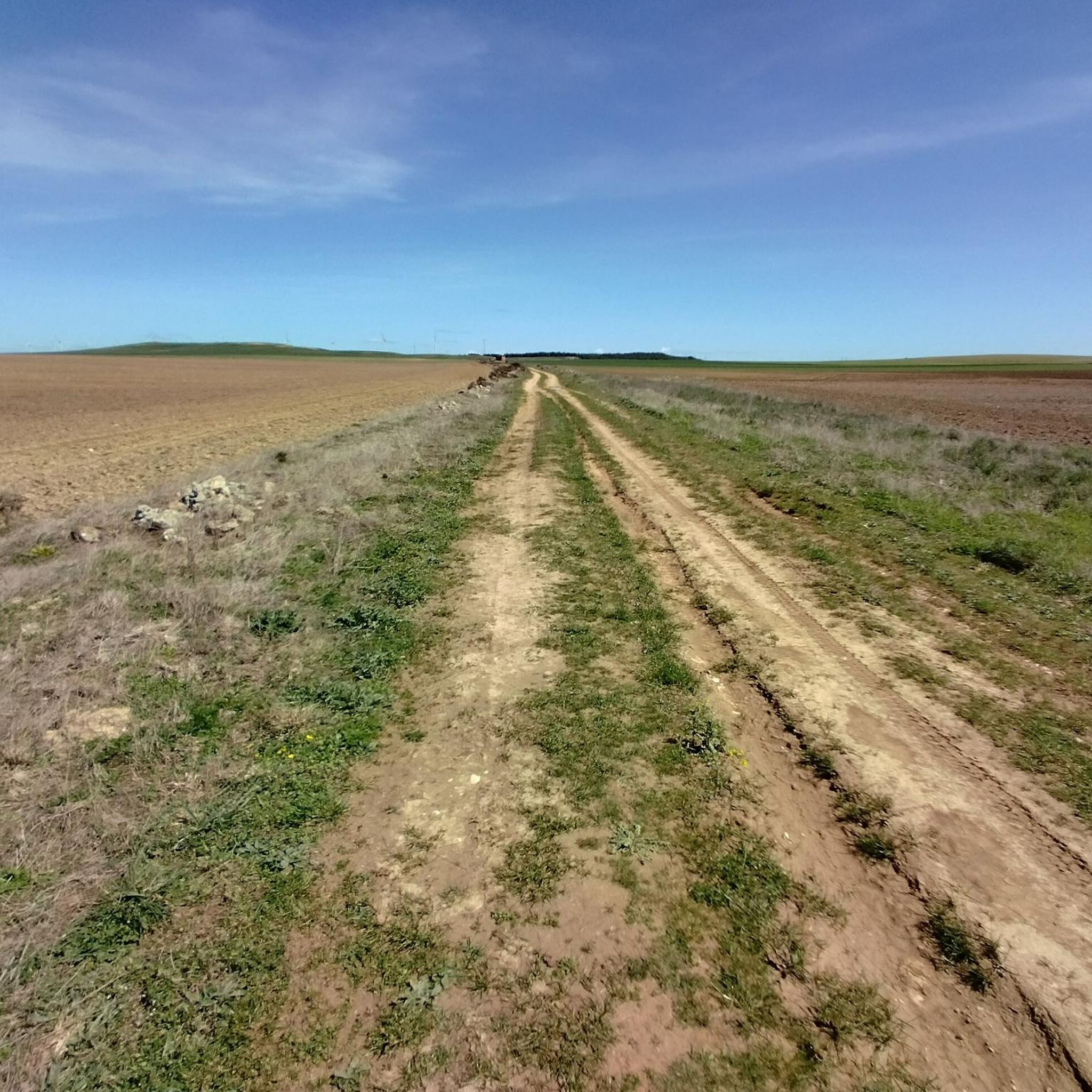
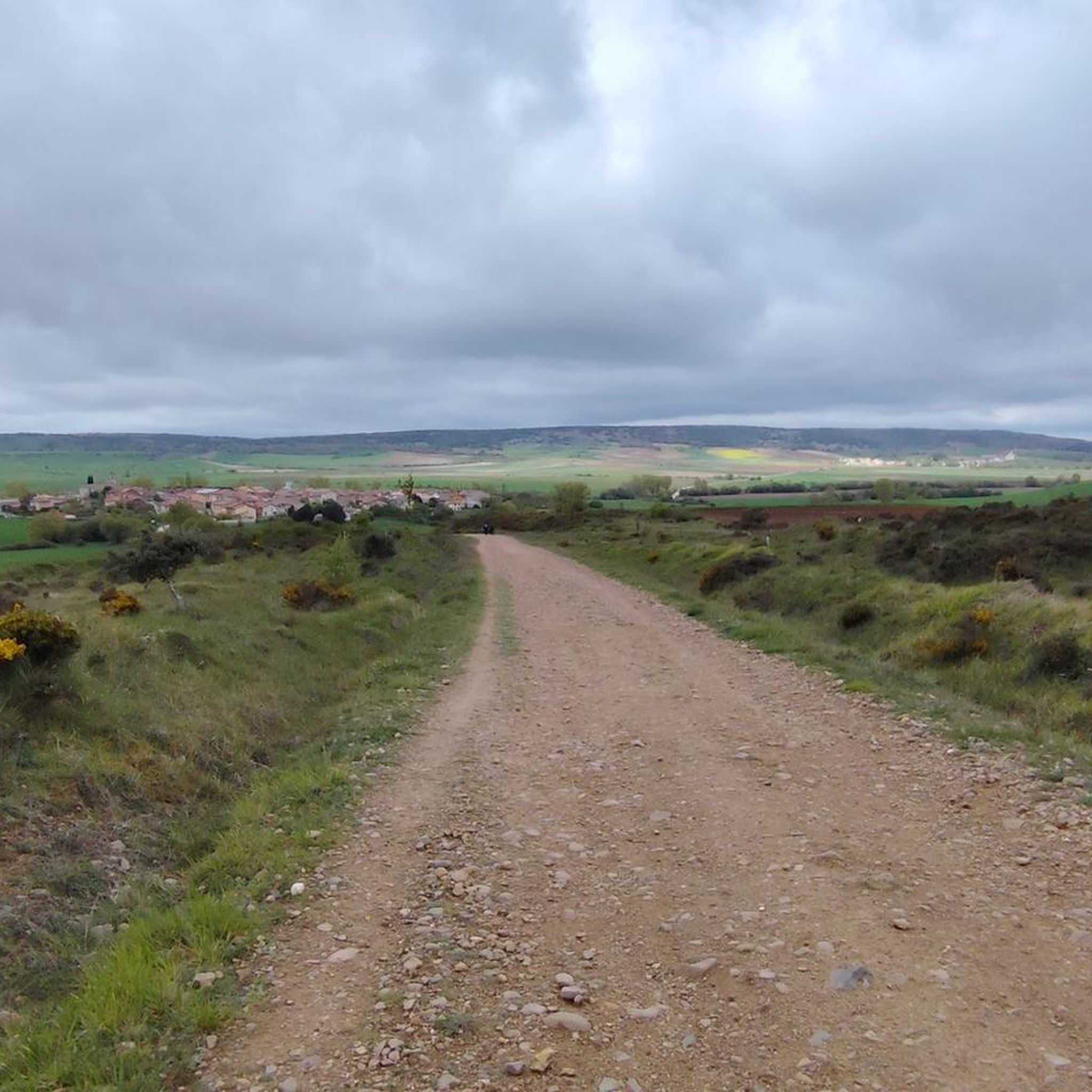
Hiking around Quintanapalla offers a blend of physical activity and cultural exploration within the Burgos province. The region's terrain is characterized by rolling hills, agricultural landscapes, and areas of woodland, often traversed by historical routes like the Camino de Santiago. Trails frequently connect significant landmarks such as the Matagrande Cross and the Atapuerca Archaeological Site, providing points of interest for hikers. The elevation changes are generally moderate, with some routes featuring more challenging ascents.
Best hiking trails around Quintanapalla
- The…
Last updated: July 4, 2026
5.0
(1)
2
hikers
18.5km
05:05
310m
310m
Hard hike. Very good fitness required. Easily-accessible paths. Suitable for all skill levels.
5.0
(1)
7
hikers
9.60km
02:38
160m
160m
Moderate hike. Good fitness required. Easily-accessible paths. Suitable for all skill levels.

Sign up for free
4.3
(3)
6
hikers
Easy hike. Great for any fitness level. Easily-accessible paths. Suitable for all skill levels.
4.0
(1)
11
hikers
3.88km
00:59
10m
10m
Easy hike. Great for any fitness level. Easily-accessible paths. Suitable for all skill levels.
5.0
(2)
9
hikers
16.9km
04:40
290m
290m
Moderate hike. Good fitness required. Easily-accessible paths. Suitable for all skill levels.
Get access to more routes and recommendations from other explorers.
Sign up for free
Already have an account?
Our route recommendations are based on thousands of hikes, rides, and runs completed by other people on komoot.
Start today with a free account
Your next adventure awaits.
Login or Signup

Tips from the Community

A recommended area for walking.
0
0

Even though this small sacred monument isn't located on the classic route of the Way of St. James through northern Spain, in view of the summit cross standing here, some thoughts by Hape Kerkeling might be helpful as inspiration. The entertainer, who is particularly famous in Germany, walked the Camino Frances in 2001 and kept a diary, which was published under the title "Ich bin dann mal weg" (I'm off then). In it, he describes his personal encounter with God along the way as follows: "Yesterday, something inside me struck a huge gong. And the sound will reverberate. Sooner or later, this path shakes everyone to their very foundations. I know the sound will slowly fade, but if I listen carefully, I'll be able to hear this reverberation for a very long time to come."
0
0

Cross located on the rock of Matagrande, at 1082 metres above sea level, right on the Camino de Santiago. During the Christmas season, they put up a nativity scene.
1
0
The stones piled up here at the base of the wayside cross are reminiscent of the “CRUZ de FERRO” (iron cross) – very well known among pilgrims – on the MONTE IRAGO on the “Camino Frances” (in Astorga, province of Leon). Many pilgrims who set out on the Way of St. James take a stone with them and place it there (or even here). Such a stone symbolizes the burdens and needs of the pilgrims (or their family members and friends at home), who symbolically cast off their worries at this point with the stone and can thus move on free of them. The CRUZ DE FERRO is available on komoot as a cycling highlight at the following link + https://www.komoot.com/de-de/highlight/716062
3
0

A simple wooden cross, which is used for prayer and reflection. Stones are placed here, similar to the Cruz de Ferro
2
0

matagrande, you find it after leaving Atapuerca.
3
0

Excavation site only open until 17:30
0
0

With good shade in summer, beautiful in autumn
1
0
Frequently Asked Questions
How many hiking trails are available around Quintanapalla?
There are over 30 hiking routes available around Quintanapalla, offering a variety of experiences for different skill levels. The komoot community has explored these trails over 200 times, sharing their experiences and insights.
What types of terrain can I expect on hikes near Quintanapalla?
Hiking around Quintanapalla features a blend of rolling hills, agricultural landscapes, and areas of woodland. Many trails follow historical routes, including sections of the Camino de Santiago, offering varied surfaces from dirt paths to more established tracks. Elevation changes are generally moderate, though some routes present more challenging ascents.
Are there any easy hiking routes suitable for beginners in Quintanapalla?
Yes, Quintanapalla offers several easy hiking routes. For example, the Hermitage of Our Lady of the Valley – Santa Maria Magdalena Church loop from Monasterio de Rodilla is an easy 4-mile (6.4 km) trail that takes approximately 1 hour 55 minutes. Another accessible option is the Hiking loop from Atapuerca, which is about 2.4 miles (3.9 km) long and takes around 1 hour to complete.
What historical landmarks or points of interest can I see while hiking?
Hiking trails around Quintanapalla often connect significant historical and cultural landmarks. You can encounter the Matagrande Cross, a traditional marker on the Camino where pilgrims leave stones. The Monastery and Church of Saint John of Ortega is another important religious site, and the Monument to El Cid provides a historical focal point dedicated to the medieval knight.
Are there any circular hiking routes in the area?
Yes, many routes around Quintanapalla are circular, allowing you to start and end at the same point. A notable example is the Yacimiento de Atapuerca — circular through the Montes de Oca, a challenging 11.5-mile (18.5 km) loop. For a moderate option, consider the Atapuerca Archaeological Site – Matagrande Cross loop from Atapuerca.
What do other hikers enjoy most about the trails in Quintanapalla?
The trails in Quintanapalla are highly rated by the komoot community, with an average score of 4.35 stars from over 25 reviews. Hikers often praise the blend of physical activity with cultural exploration, particularly the connection to historical pilgrimage routes and the varied rural landscapes.
Is Quintanapalla a good destination for family-friendly hikes?
Yes, Quintanapalla offers routes suitable for families, especially those looking for easier, shorter walks. The region's moderate terrain and the presence of historical sites can make for an engaging experience for all ages. Look for routes marked as 'easy' in the guide for the most suitable options.
Can I bring my dog on the hiking trails around Quintanapalla?
Many trails in the Quintanapalla region are suitable for dogs, especially those traversing open countryside and woodland paths. However, it's always advisable to check local regulations for specific areas or nature reserves, and to keep your dog on a leash, particularly near agricultural land or historical sites.
What is the best time of year to go hiking in Quintanapalla?
The best time to hike in Quintanapalla is generally during spring and autumn when the weather is milder and more pleasant. Summers can be hot, especially in open areas, while winters can bring colder temperatures. Spring offers blooming landscapes, and autumn provides beautiful colors, both ideal for comfortable hiking.
Are there any amenities like cafes or accommodation near the trails?
While specific cafes directly on every trail are not guaranteed, the region, particularly around significant sites like the Monastery and Church of Saint John of Ortega, offers amenities such as hostels and rural hotels. These can be convenient for hikers looking to extend their journey or find refreshments after a walk.
What is the difficulty level of the hikes in Quintanapalla?
The hikes around Quintanapalla cater to various difficulty levels. There are 12 easy routes, 16 moderate routes, and 5 difficult routes. This range ensures that both casual walkers and experienced hikers can find suitable challenges, from short, gentle loops to longer, more demanding trails with significant elevation changes.
Most popular routes around Quintanapalla
Most popular attractions around Quintanapalla

Get inspired with the komoot mobile app


Explore more
Browse the best Hikes in other regions.
