The best cycling routes around Almócita
5.0
(1)
84
riders
11
rides
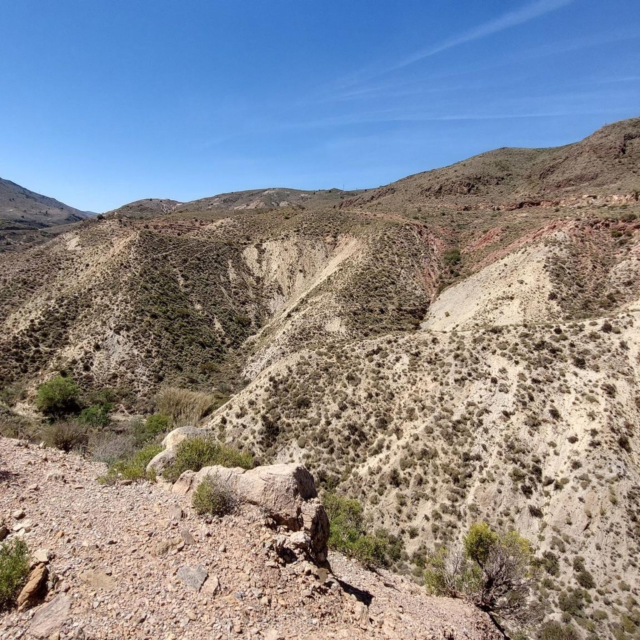
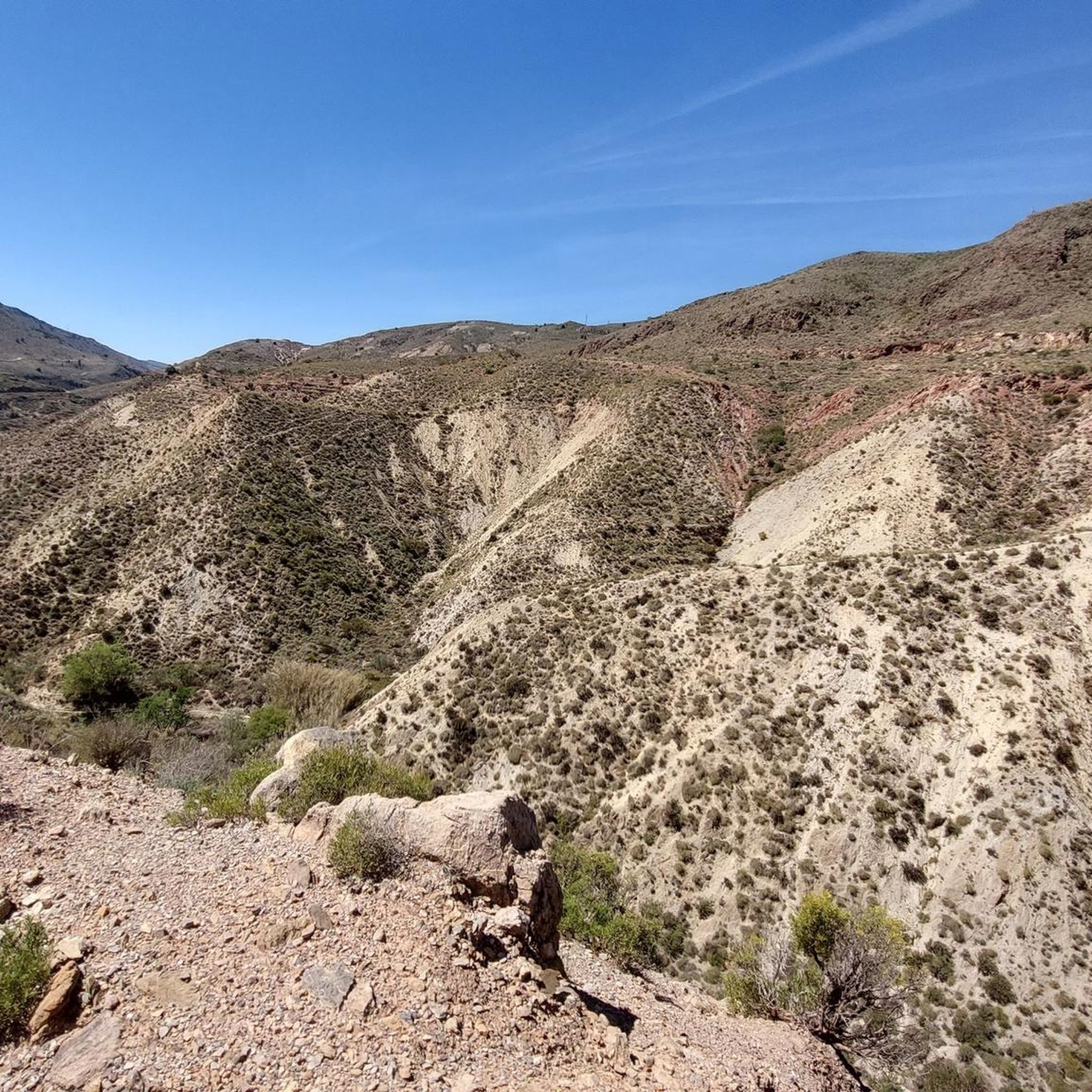
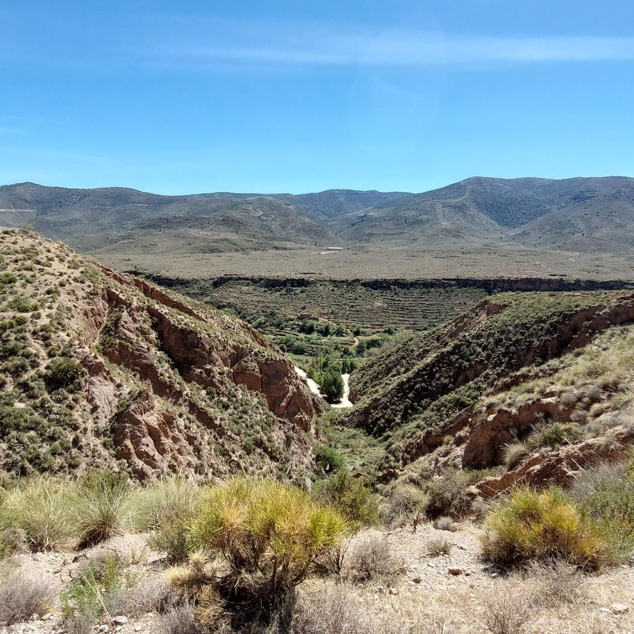
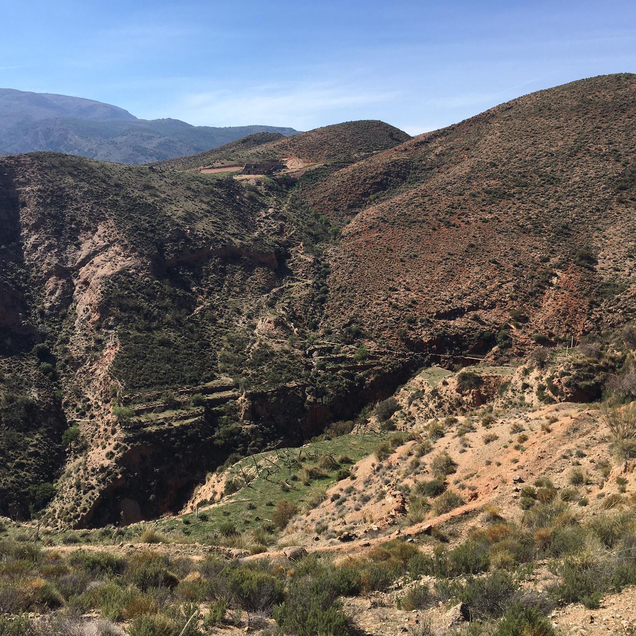
Touring cycling routes around Almócita are set within the Sierra Nevada Natural Park and the Alpujarra region, offering diverse landscapes for cyclists. The area features a varied topography, from river valleys carved by the Andarax River to mountainous terrain with white villages and both lush and arid zones. This blend provides a range of cycling experiences amidst a rich natural and historical backdrop.
Best touring cycling routes around Almócita
- The most popular touring cycling route is Andarax Valley Loop from…
Last updated: June 30, 2026
5.0
(1)
11
riders
29.1km
02:11
680m
690m
This difficult 18.1-mile touring cycling route in Sierra Nevada Natural Park offers challenging climbs and panoramic views of the Valle del
22.3km
02:14
510m
510m
Hard bike ride. Very good fitness required. Mostly paved surfaces. Suitable for all skill levels.

Sign up for free
10
riders
63.8km
06:47
1,580m
1,590m
Hard bike ride. Very good fitness required. Mostly paved surfaces. Suitable for all skill levels.
9
riders
65.7km
04:44
1,420m
1,420m
Hard bike ride. Very good fitness required. Mostly paved surfaces. Suitable for all skill levels.
8
riders
100km
07:17
2,220m
2,220m
Hard bike ride. Very good fitness required. Mostly paved surfaces. Suitable for all skill levels.
Get access to more routes and recommendations from other explorers.
Sign up for free
Already have an account?
Our route recommendations are based on thousands of hikes, rides, and runs completed by other people on komoot.
Start today with a free account
Your next adventure awaits.
Login or Signup

Other adventures around Almócita

Tips from the Community

Benecid is a small district of Fondón located in the heart of the Alpujarra Almeriense, in the upper valley of the Andarax River and at the foot of the Sierra Nevada. Its quiet streets and agricultural terraces offer an ideal setting for strolling with views of the ravine of the same name. Of particular note are the 16th-century Church of San Juan Bautista and several historic fountains, such as the one in the square and the Pábilo fountain. It also houses the Río Andarax Center, a unique ethnographic space showcasing the region's traditions.
1
0
Fondón is a village in the Alpujarra region of Almería, surrounded by mountains and nature. Its historic center is notable for the Mudejar church of San Andrés and several chapels, as well as fountains and stately homes. It is a good starting point for hiking trails such as the GR-142 or the GR-140, which pass through landscapes of orchards, ravines, and vineyards. Visitors can enjoy the opportunity to taste the local wines and traditional dishes such as "olla de trigo" (wheat stew) or "remojón" (remojón).
1
0


Main Square of the Alpujarra
0
0
Laujar de Andarax is a municipality in the autonomous community of Andalusia in southern Spain. It belongs to the province of Almería. The population of Laujar de Andarax was 1,658 in 2024. The Andarax River, which flows into the Mediterranean Sea near Almería, has its source nearby.[4]
0
0
Paterna del Río is a village and municipality in the province of Almería in southern Spain with 396 inhabitants (as of 2024). In addition to the main town of Paterna del Río, the village of Baños de Santiago belongs to the municipality. The ideal rest stop on the Transandalus 🚵
0
0
Bayárcal is a southern Spanish village and municipality (municipio) in the province of Almería with 296 inhabitants (as of 2024).
0
0

The Puerto de la Ragua marks the border between the provinces of Granada and Almería. The Sierra Nevada stretches on both sides, with the 3000m peaks on the Granada side. The highest mountain in the province of Almería, El Chullo, is, however, easily accessible from the Puerto de la Ragua. The Puerto de la Ragua is just over 2000m.
0
0
Frequently Asked Questions
How many touring cycling routes are available around Almócita?
There are over 10 touring cycling routes available around Almócita, all of which are considered difficult due to the region's varied and mountainous terrain.
What is the best time of year to go touring cycling in Almócita?
The region benefits from a Mediterranean influence, offering diverse climatic conditions. Generally, spring and autumn provide the most pleasant temperatures for cycling, allowing you to enjoy the scenic views without extreme heat or cold. Always check the local weather forecast before heading out.
What kind of terrain can I expect on touring cycling routes around Almócita?
You can expect a diverse range of terrain, from challenging climbs through the Sierra Nevada Natural Park to more gentle rides through river valleys like the Andarax. The routes often feature a mix of paved roads and unpaved sections, passing through picturesque white villages and areas with both lush and arid vegetation.
Are there circular touring bike routes available in Almócita?
Yes, several circular routes are available. For example, the Andarax Valley Loop from Beires offers a 18.1-mile (29.1 km) ride with views of the Andarax River Valley. Another option is the Valle del Andarax - circular from Almocita via Fondon, a 13.8-mile (22.3 km) path through characteristic Alpujarra landscapes.
What are the typical distances and elevation gains for touring bike trails in Almócita?
The touring cycling routes around Almócita vary significantly in length and elevation. For instance, the Andarax Valley Loop from Beires covers 18.1 miles (29.1 km) with an elevation gain of approximately 684 meters. Longer routes, like the Fondón – La Ragua Pass loop from Canjáyar, can extend to over 62 miles (100 km) with more than 2,200 meters of ascent.
What natural attractions can I see along the touring cycling routes?
The region is rich in natural beauty. You can explore the captivating natural landscapes created by the Andarax River, such as The Canals of Padules, which feature lagoons and gorges. The routes also offer stunning views of the Sierra Nevada Natural Park and the surrounding valleys.
Are there any historic villages or cultural landmarks to explore while cycling?
Absolutely. Almócita itself is known for its well-preserved Moorish architecture, including a Jewish quarter. Many routes pass through charming white villages characteristic of the Alpujarra region, such as Fondón and Láujar de Andarax, offering a glimpse into the area's rich cultural heritage.
Is there parking available near the touring cycling routes in Almócita?
While specific parking areas for each route are not detailed, Almócita and nearby villages typically offer public parking options. It's advisable to check local information for parking availability in the starting points of your chosen route, such as Almócita or Beires.
Can I access touring cycling routes in Almócita using public transport?
Public transport options to access the more remote starting points of touring cycling routes in the Alpujarra region can be limited. It's recommended to research local bus services to nearby towns or consider driving to your preferred starting location.
What do other touring cyclists say about the routes in Almócita?
The routes in Almócita are highly rated by the komoot community, with an average score of 5.0 stars. Cyclists often praise the dramatic backdrop of the Sierra Nevada, the picturesque white villages of the Alpujarra, and the captivating natural landscapes of the Andarax River Valley, noting the challenging yet rewarding nature of the rides.
Are there any easy touring bike trails in Almócita for beginners or families?
The touring cycling routes around Almócita are generally classified as difficult, featuring significant elevation gains and varied terrain. While the region is beautiful, it may not be ideal for beginners or young families seeking very easy, flat trails. Experienced cyclists looking for a challenge will find plenty of options.
Where can I find panoramic viewpoints along the touring cycling routes?
The mountainous terrain and river valleys naturally offer numerous scenic viewpoints. Routes often provide spectacular panoramas of the Sierra Nevada, the Andarax River Valley, and the surrounding Alpujarra landscapes. Keep an eye out for designated viewpoints or elevated sections of the trails for breathtaking vistas.
What is the longest touring cycling route in the Almócita area?
One of the longest routes available is the Fondón – La Ragua Pass loop from Canjáyar, which spans approximately 62.3 miles (100.2 km) and involves over 2,200 meters of elevation gain, typically taking around 7 hours and 17 minutes to complete.
Most popular attractions around Almócita

Get inspired with the komoot mobile app


Explore more
Browse the best Cycling routes in other regions.
