The 4 Most Amazing Peaks around San Román De Los Montes
Best mountain peaks around San Román De Los Montes are found within the Sierra de San Vicente, a sub-range of the Montes de Toledo system. This area features distinctive elevated points and routes, characterized by imposing granite rock formations and a rich natural heritage. Visitors can explore Mediterranean forest vegetation and enjoy panoramic views of the surrounding landscape, including the Sierra de Gredos and the Tajo River basin. The region offers diverse trails suitable for various fitness levels.
Best mountain…
Last updated: July 12, 2026
San Vicente Hill (1320m)
Highlight • Summit
Translated by Google •
Tip by

El Piélago Pass
Highlight (Segment) • Mountain Pass
Translated by Google •
Tip by

Sign up now to discover places like this
Get recommendations on the best single tracks, peaks, & plenty of other exciting outdoor places.
Sign up for free
Sierra Cruces
Highlight • Summit
Translated by Google •
Tip by
Atalaya
Highlight (Segment) • Summit
Translated by Google •
Tip by

Start today with a free account
Your next adventure awaits.
Login or Signup


Tips from the Community

A section of approximately 2 km. The "Camino de Segurilla – Atalaya de Segurilla" route is ideal for hiking or cycling. The route begins at the Glorieta de los Tres Olivos roundabout in Talavera de la Reina. From there, access the "Camino de Segurilla" heading north, passing under the railway line and continuing along a paved or dirt track. There is also an option from Mejorada: Plaza de la Constitución, following the "Camino Mejorada–Segurilla" to the watchtower.
18
0

Port with beautiful views over El Real de San Vicente.
1
0

old chapel ruins, from there a view of the castle ruins and an imposing view
1
0


One of the most demanding and emblematic passes in the entire province of Toledo and, without a doubt, a favorite among cyclists in the Sierra de San Vicente, since it can be combined with routes in multiple directions.
1
0

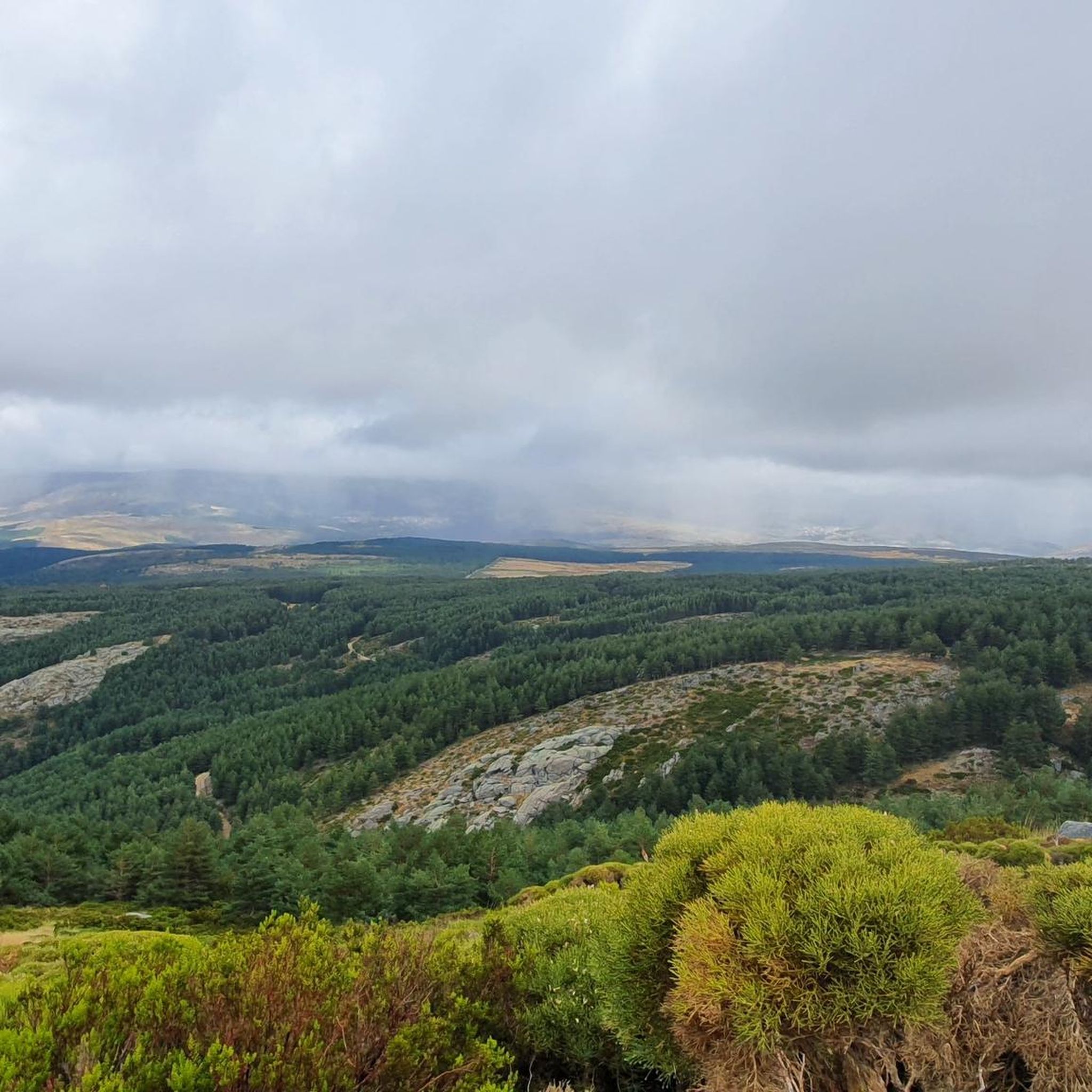
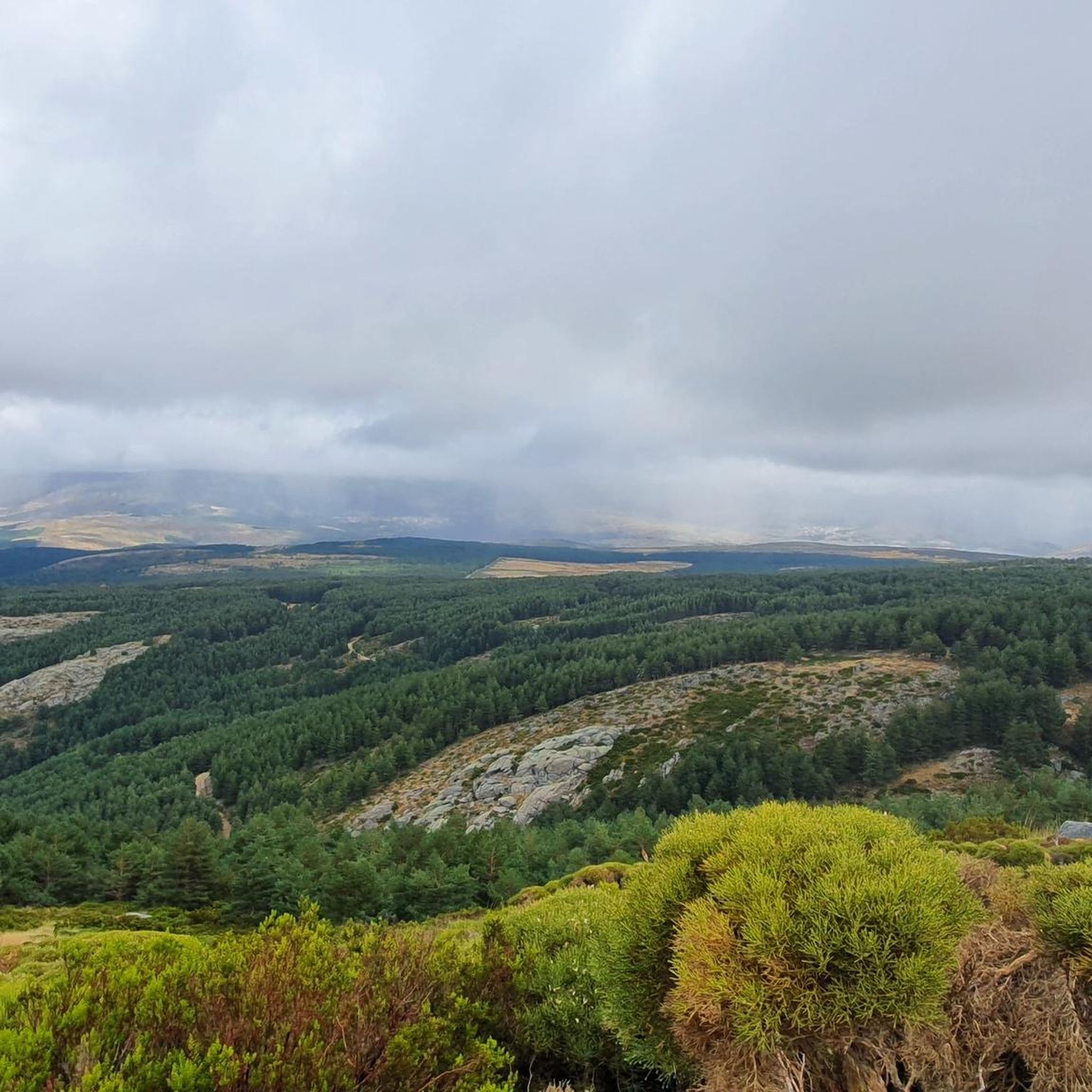
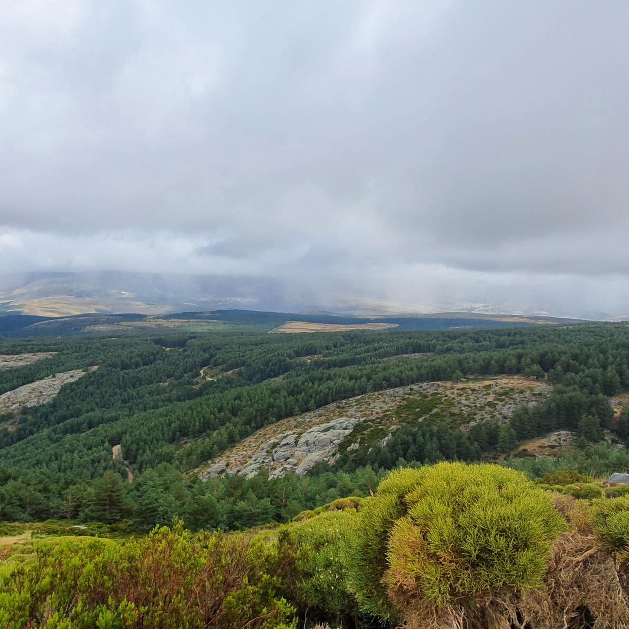
The top of Cruces at 1373 meters above sea level. It is one of the most impressive panoramic points in the Navamorcuende region. It offers beautiful views in all directions, so I recommend you take some time and enjoy the beautiful views while you recharge your batteries after the climb.
1
0
The summit of Cruces at 1,373 meters above sea level is one of the most impressive panoramic points in the Navamorcuende region. It offers beautiful views in all directions so I recommend taking some time and enjoying the beautiful views while having a picnic up here to recharge your batteries.
1
0
Located at 1,320 meters above sea level, the top of Cerro San Vicente offers wonderful views of this area of Toledo and you can even see the Sierra de Gredos park and Alto Tiétar.
3
0
Frequently Asked Questions
What are some of the most prominent mountain peaks in the San Román De Los Montes area?
The region features several notable elevated points. San Vicente Hill (1320m) is the most prominent, offering expansive views. Other significant points include Monte Pelados and Cabeza del Oso, both accessible via hiking trails, and Pico Cruces, which provides impressive views of the Tiétar valley.
Which peaks offer the best panoramic views of the surrounding landscape?
San Vicente Hill (1320m) provides wonderful views of the Toledo region, including the Sierra de Gredos and the Alto Tiétar. Monte Pelados offers panoramic vistas of the Tajo River basin and the distant Sierra de Gredos, while Pico Cruces boasts impressive views of the Tiétar valley with the Gredos mountains as a backdrop.
Are there popular hiking trails to reach these peaks?
Yes, there are several trails. The PR-TO 21 "Senda Cabeza del Oso y Pelados" route is a popular option that starts from El Real de San Vicente and leads to Monte Pelados and Cabeza del Oso. You can find more hiking options in the Hiking around San Román De Los Montes guide, including the "Cabeza del Oso and Pelados Trail (PR-TO 21)" and the "Cerro de San Vicente and Cabeza del Oso Loop".
Do any of the peaks have historical significance?
Absolutely. San Vicente Hill (1320m) is notable for its historical significance, including Celtic ruins and remains of an old Umayyad fortress. Cabeza del Oso is also significant, possessing archaeological remains of a Celtic fort dating back to the Bronze Age.
What kind of nature and wildlife can I expect to see while exploring the peaks?
The Sierra de San Vicente is characterized by its imposing granite rock formations and rich natural heritage. You can explore Mediterranean forest vegetation and encounter diverse wildlife, including deer, roe, wild boar, and birds of prey like eagles and griffon vultures.
Are there easy mountain hikes suitable for beginners or families?
Yes, the region offers trails with varying levels of difficulty. For an easier option, the "Cerro del Castillo Loop" is an easy-grade hiking route. While specific family-friendly categories aren't listed for all peaks, many trails provide accessible sections. The "Camino de Segurilla – Atalaya de Segurilla" route to Atalaya is suitable for hiking.
When is the best time of year to hike the peaks around San Román De Los Montes?
The region is generally pleasant for hiking during spring and autumn when temperatures are milder. Summer can be hot, so early mornings or late afternoons are recommended. While winter hiking is possible, conditions can vary, especially at higher elevations, so checking local weather is advisable.
What other outdoor activities can I do near the mountain peaks?
Beyond hiking, the area is excellent for cycling. You can explore gravel biking routes, such as those found in the Gravel biking around San Román De Los Montes guide, or road cycling routes, including those around El Piélago Pass, as detailed in the Road Cycling Routes around San Román De Los Montes guide.
What makes El Piélago Pass a notable spot?
El Piélago Pass is known as one of the most demanding and emblematic passes in the province of Toledo, particularly popular among cyclists. It offers beautiful views over El Real de San Vicente and can be combined with routes in multiple directions.
Are there any challenging routes for experienced hikers?
Yes, for experienced hikers looking for a challenge, routes like the "Cabeza del Oso and Pelados Trail (PR-TO 21)" are considered moderate. The region's terrain, with its imposing granite formations, can offer more strenuous sections. For cycling, some routes around El Piélago Pass are rated as difficult.
What do visitors enjoy most about the mountain peaks around San Román De Los Montes?
Visitors particularly appreciate the natural beauty, the opportunity for hiking and exploring the Mediterranean forest, and the panoramic views of the surrounding landscape. The diverse trails cater to various fitness levels, and the historical significance of sites like San Vicente Hill adds another layer of interest.
Most popular routes around San Román De Los Montes
Most popular attractions around San Román De Los Montes

Get inspired with the komoot mobile app


Explore more
See even more amazing summits around San Román De Los Montes with these guides:
