The best walks and hikes around La Aldehuela
4.2
(9)
45
hikers
9
hikes
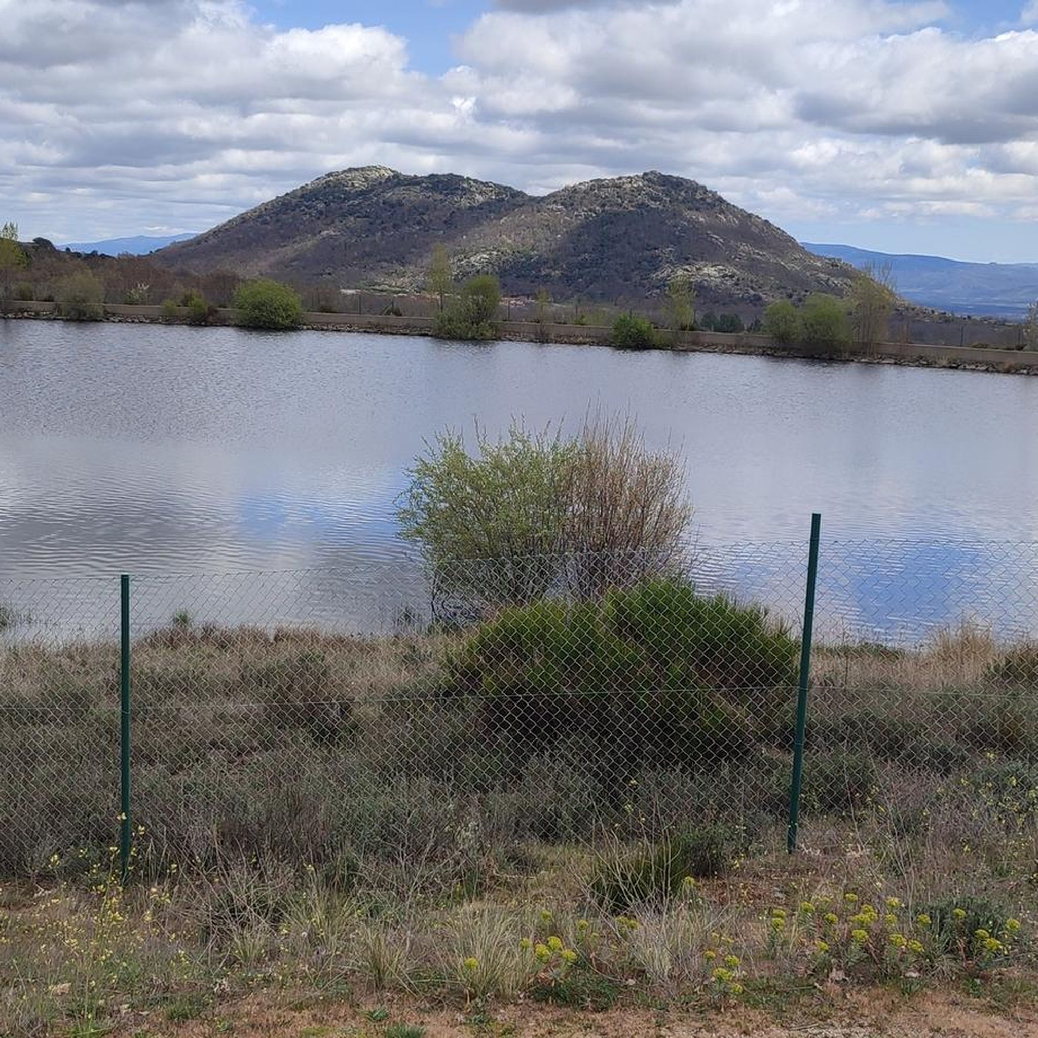
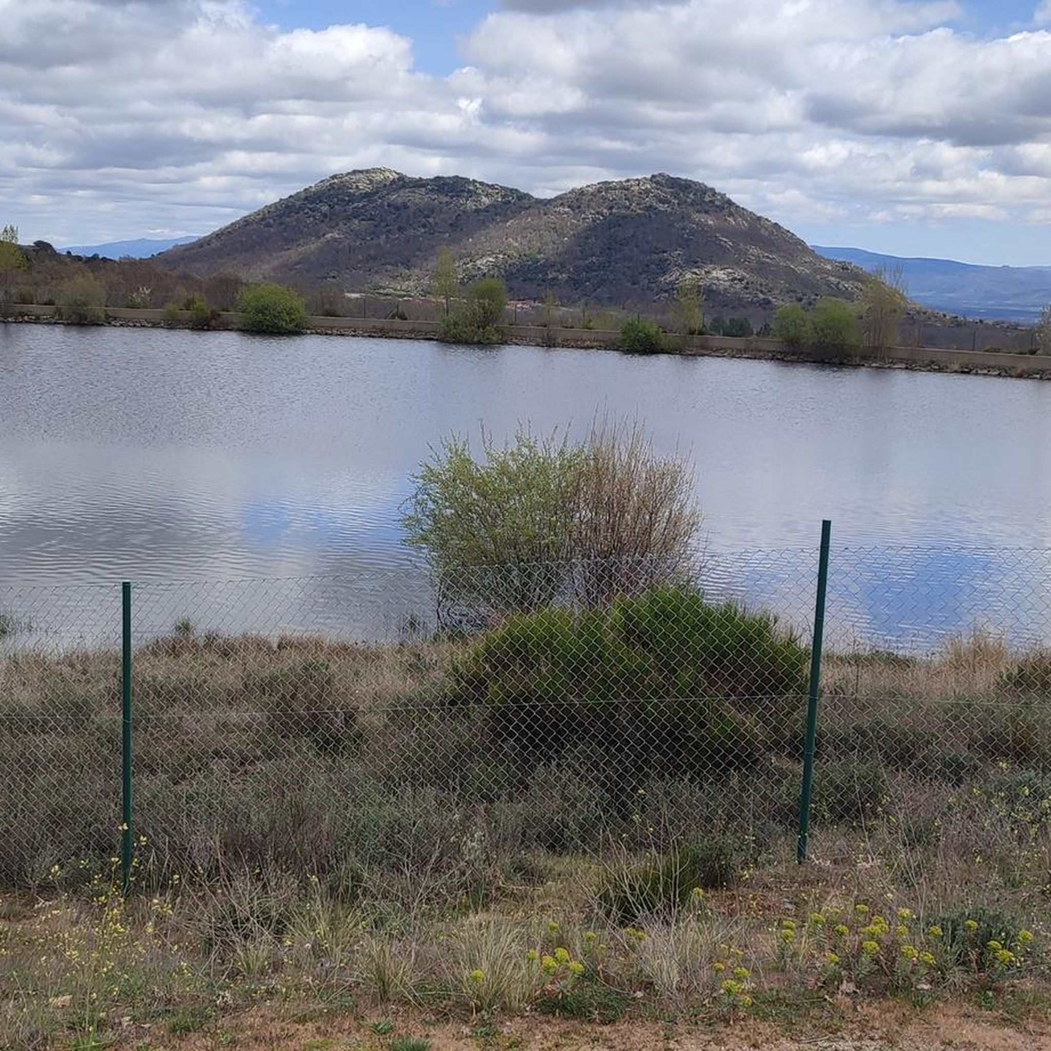
Hiking around La Aldehuela offers diverse terrain within the province of Ávila, Castile and León, Spain. The region is characterized by the fertile Caballeruelos River Valley, flanked by the Piedrahíta mountain range and proximity to the Sierra de Gredos. Landscapes include wooded areas with oak forests and varied elevations, providing a range of natural features for exploration.
Best hiking trails around La Aldehuela
- The most popular hiking route is Garganta de Bohoyo Trail, a difficult 18.4 miles (29.7 km)…
Last updated: June 28, 2026
5.0
(1)
7
hikers
15.7km
05:49
700m
700m
Hike the difficult 9.8-mile Senda de la Garganta de Navamediana (PR-AV 38) in Sierra de Gredos, featuring waterfalls and panoramic views.
2.0
(1)
1
hikers
7.87km
02:12
150m
150m
Hike the 4.9 miles (7.9 km) circular route from Pedrahíta to Casas Sebastián Pérez, a moderate trail with 493 feet (150 metres) of elevation

Sign up for free
5.0
(1)
3
hikers
Moderate hike. Good fitness required. Easily-accessible paths. Suitable for all skill levels.
3.0
(2)
3
hikers
Moderate hike. Good fitness required. Easily-accessible paths. Suitable for all skill levels.
4
hikers
5.03km
01:20
50m
50m
Easy hike. Great for any fitness level. Easily-accessible paths. Suitable for all skill levels.
Get access to more routes and recommendations from other explorers.
Sign up for free
Already have an account?
Our route recommendations are based on thousands of hikes, rides, and runs completed by other people on komoot.
Start today with a free account
Your next adventure awaits.
Login or Signup


Tips from the Community

Numerous waterfalls in the Navamediana Gorge will accompany you along the path along the PR-AV 38 path to La Hoyuela in the Sierra de Gredos. Going up, the sound of the water will become more intense. The landscape is beautiful, you fall in love with its tranquility. Here you can feel the true connection with nature.
1
0
Las Hoyuelas is the end point of the Navamediana Gorge Path (PR-AV 38) that begins in the small town of Navamediana. Here you can enjoy the beautiful views of the heart of the Sierra de Gredos.
1
0

Old bridge, currently misnamed La Fonseca, its real historical name is La Ponseca. It belongs to the municipality of La Horcajada, which has also recently been rehabilitated because its rock was detaching and its stability was beginning to be endangered. It crosses the river Corneja and as a curiosity, Emperor Carlos V passed over this bridge on his retirement journey to the Yuste monastery.
2
0

Right at the top of the town of El Mirón there is a hill with an old tower/castle from past times that offers impressive views of the town and the area as a whole.
1
0
This is one of the most important buildings in the town of Pedrahíta along with the Palace of the Dukes of Alba and the Convento de Carmelitas which is located in the same town.
1
0
Beautiful town that is located close to Piedrahíta and where, in addition, it is located on an esplanade that has created the passage of the Río Corneja through the area, coming from its mountains to the east.
1
0

While riding my bike near Villar de Corneja, I come across this beautiful medieval bridge that allows us to cross the Corneja river. This river was really useful for irrigating the orchards and using the mills.
1
0
Beautiful town located a few kilometers from the other nearby town of Pedrahíta.
0
0
Frequently Asked Questions
What types of hiking trails are available in La Aldehuela?
La Aldehuela offers a diverse range of hiking trails, from paths through the fertile Caballeruelos River Valley to more challenging ascents in the surrounding mountain ranges like the Sierra de Gredos. You'll find routes winding through oak forests and along riverbeds, providing varied landscapes for exploration.
Are there any easy or moderate hiking routes suitable for beginners or families?
Yes, there are several options for less strenuous hikes. For a moderate experience, consider the Piedrahíta to Casas de Sebastián Pérez Circular, which is about 4.9 miles (7.9 km) long and takes around 2 hours 12 minutes. Another moderate option is the La Seca Mountain Hut – La Redonda Shelter loop from Bohoyo, covering about 9.6 km.
What are some of the more challenging hikes in the La Aldehuela area?
For experienced hikers seeking a challenge, the Garganta de Bohoyo Trail is a difficult 18.4 miles (29.7 km) route with significant elevation gain, typically taking over 11 hours. Another demanding option is the Navamediana Gorge Trail, a difficult 9.8 miles (15.7 km) path that follows a scenic gorge.
Are there any circular hiking routes around La Aldehuela?
Yes, circular routes are available. A popular choice is the Piedrahíta to Casas de Sebastián Pérez Circular, which offers a pleasant loop through rural landscapes. Another circular option is the La Seca Mountain Hut – La Redonda Shelter loop from Bohoyo.
What natural features or landmarks can I expect to see while hiking?
Hikers in La Aldehuela can enjoy the Caballeruelos River Valley, diverse oak forests, and the sounds of water from streams and potential waterfalls, especially along gorge trails. The region is also characterized by its proximity to the Sierra de Gredos mountains, offering impressive views and varied terrain. In spring, the landscape is brightened by the yellow blooms of echinospartum horridum.
Are there any historical or cultural points of interest near the hiking trails?
Beyond natural beauty, the area has historical significance. You can explore nearby attractions such as the medieval Valdecorneja Castle in El Barco de Ávila, overlooking the Tormes River. There's also the ancient Ponseca Bridge over the Corneja River, historically crossed by Emperor Carlos V.
What do other hikers say about the trails in La Aldehuela?
The hiking routes in La Aldehuela are highly rated by the komoot community, with an average score of 5.0 stars from 5 reviews. Hikers often praise the varied terrain, from river valleys to mountain ranges, and the diverse vegetation including beautiful oak forests.
Is La Aldehuela a good destination for hiking with dogs?
While specific dog-friendly regulations can vary, the natural and rural character of La Aldehuela, with its extensive trails through forests and river valleys, generally makes it a welcoming area for hiking with dogs. Always ensure your dog is under control and respect local wildlife and livestock.
What is the best time of year to go hiking in La Aldehuela?
The region experiences a burst of yellow in spring when echinospartum horridum blooms, making it a particularly scenic time. While the Caballeruelos River can be dry in summer, the presence of oak forests provides shade. Spring and autumn generally offer pleasant temperatures for hiking, avoiding the potential heat of summer and the colder conditions of winter in the mountains.
How many hiking routes are available in the La Aldehuela area?
There are 8 hiking routes documented in the La Aldehuela area, offering a variety of distances and difficulty levels to suit different preferences.
Are there any trails that feature gorges or significant water elements?
Yes, the Navamediana Gorge Trail is a notable example, following a gorge and offering the increasing sound of water and riverside vegetation. The Caballeruelos River Valley itself is a central feature, fed by numerous streams and springs, contributing to scenic routes with refreshing elements.
Most popular attractions around La Aldehuela

Get inspired with the komoot mobile app


Explore more
Browse the best Hikes in other regions.
