The best walks and hikes around Sarracín
4.2
(170)
1,072
hikers
10
hikes
Hiking around Sarracín offers a diverse landscape characterized by river valleys and open countryside. The region features a mix of agricultural land and wooded areas, providing varied scenery for outdoor activities. Gentle elevation changes are common, making many trails accessible. The terrain primarily consists of well-maintained paths and rural tracks, suitable for different hiking abilities.
Best hiking trails around Sarracín
- The most popular hiking route is Fuente del Prior Beach – Arlazón River Trail loop from Burgos, a 7.6…
Last updated: July 4, 2026
4.6
(25)
165
hikers
Moderate hike. Good fitness required. Easily-accessible paths. Suitable for all skill levels.
5.0
(2)
13
hikers
21.5km
05:35
140m
140m
Hard hike. Very good fitness required. Easily-accessible paths. Suitable for all skill levels.

Sign up for free
4.8
(5)
11
hikers
Hard hike. Very good fitness required. Mostly accessible paths. Sure-footedness required.
4
hikers
Easy hike. Great for any fitness level. Easily-accessible paths. Suitable for all skill levels.
4
hikers
Easy hike. Great for any fitness level. Easily-accessible paths. Suitable for all skill levels.
Get access to more routes and recommendations from other explorers.
Sign up for free
Already have an account?
Our route recommendations are based on thousands of hikes, rides, and runs completed by other people on komoot.
Start today with a free account
Your next adventure awaits.
Login or Signup

Tips from the Community

University building in the former 12th-century hospital
0
0

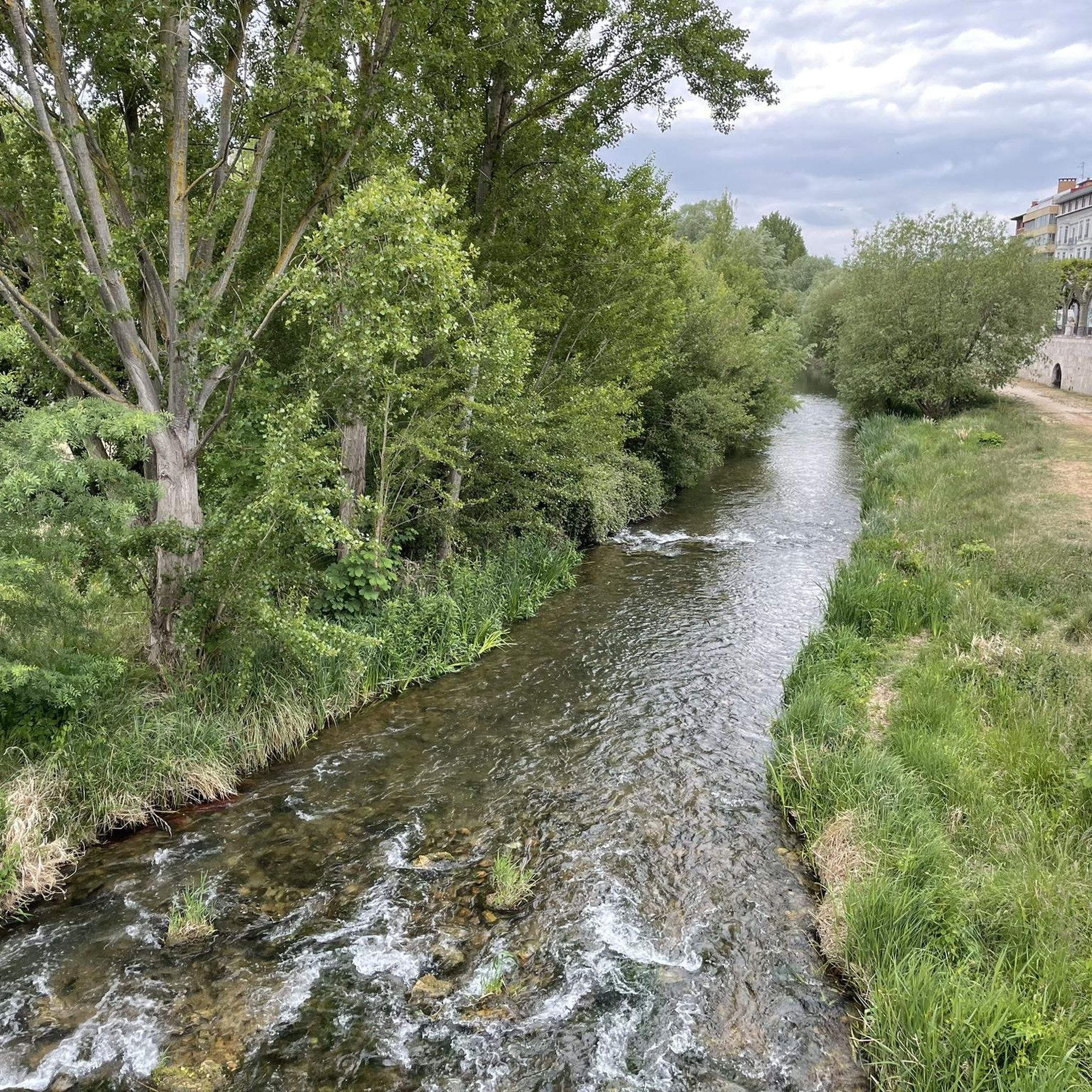
Place with a view of the stream
8
0


The banks of the Arlanzón river as it passes through Burgos are a perfect setting for outdoor sports.
1
1
Bridge that connects fuentes Blancas with La Ventila.
0
0

An unusual but beautiful depiction of a pilgrim.
2
0

The Malatos Bridge is a historic bridge located in Burgos, over the Arlanzón River. Its origins date back to the 12th century, with documented references as early as 1165, although some authors date it back to 1198. It was built by order of Alfonso VIII to facilitate access to the Monastery of Las Huelgas and the King's Hospital. The name "Malatos" comes from the nearby hospital of San Lázaro de los Malatos, dedicated to the care of lepers.
10
0
Rustic or decorative cabin located in the natural surroundings of Fuentes Blancas Park, very close to the Arlanzón River and the route to the Cartuja de Miraflores.
5
0
Frequently Asked Questions
How many hiking trails are available around Sarracín?
There are over 10 hiking trails recorded around Sarracín on komoot, catering to various skill levels. You'll find a good mix of easy, moderate, and difficult routes to explore the region's diverse landscapes.
Are there easy hiking trails suitable for beginners or families in Sarracín?
Yes, Sarracín offers several easy trails perfect for beginners or family outings. For example, the University of Burgos – Statue of the Seated Pilgrim loop from Burgos is an easy 3.7-mile (5.9 km) path with minimal elevation gain. Another accessible option is the Cartuja - Fuentes Blancas loop from Burgos, a 3.0-mile (4.8 km) trail through pleasant wooded areas.
What kind of landscapes can I expect to see while hiking around Sarracín?
Hiking around Sarracín offers a diverse landscape characterized by river valleys, open countryside, and scattered wooded areas. You'll encounter agricultural land, riverside paths along the Arlazón River, and gentle elevation changes, providing varied scenery for outdoor activities.
Are there any circular hiking routes in the Sarracín area?
Many of the trails around Sarracín are designed as loops, offering convenient circular routes. A popular choice is the Fuente del Prior Beach – Arlazón River Trail loop from Burgos, which is 7.6 miles (12.2 km) long and follows the Arlazón River. Another option is the longer Fuente del Prior Beach – Arlanzón River loop from Burgos, covering 16 miles (25.7 km).
What do other hikers say about the trails in Sarracín?
The routes in Sarracín are highly rated by the komoot community, with an average score of 4.3 stars from over 140 reviews. Hikers often praise the well-maintained paths, the peaceful riverside views, and the accessibility of many trails for different ability levels.
Are there any challenging or longer multi-day hiking options near Sarracín?
While Sarracín itself features mostly day hikes, some routes offer a more challenging experience. The Santa Maria Bridge – Arch of Santa María loop from Burgos is a difficult 14.3-mile (23 km) trail with significant elevation gain, suitable for experienced hikers looking for a longer day out. For multi-day options, you might consider connecting several routes or exploring longer sections of regional trails that pass through the area.
What interesting landmarks or attractions can I see along the hiking trails around Sarracín?
While hiking around Sarracín, you can explore several notable attractions. Near some routes, you might find historical sites like the Burgos Cathedral or the Arch of Santa María. Natural highlights include the Carcedo Lagoons and the Olea Spring and Waterfall, offering picturesque spots to visit.
Is public transport available to access hiking trails in Sarracín?
Sarracín is well-connected to Burgos, which serves as a hub for public transport. Many trails, particularly those starting from Burgos, are accessible via local bus services or are within walking distance from the city center. It's advisable to check local bus schedules for specific routes to trailheads further afield.
Are there good viewpoints along the hiking routes in Sarracín?
The region's gentle elevation changes and open countryside provide various spots for scenic views. While specific named viewpoints are not highlighted in every route, trails that traverse higher ground or offer expansive views over the river valleys and agricultural lands will provide pleasant vistas of the surrounding landscape. The Alto de Gandral Geodetic Vertex is a notable high point in the wider area.
What is the best time of year to go hiking in Sarracín?
The best time for hiking in Sarracín is generally during spring (April to June) and autumn (September to October). During these seasons, the weather is typically mild and pleasant, with comfortable temperatures for outdoor activities. Spring brings blooming flora, while autumn offers beautiful fall colors. Summer can be hot, and winter might bring colder temperatures, though trails remain accessible.
Are there any cafes or pubs near the hiking trails in Sarracín?
Sarracín and the nearby city of Burgos offer various amenities, including cafes and pubs. Many trails start or pass through areas where you can find places to refresh yourself. For routes closer to Burgos, you'll have ample options for food and drink before or after your hike.
Most popular attractions around Sarracín

Get inspired with the komoot mobile app


Explore more
Browse the best Hikes in other regions.
