The best walks and hikes around Calders
4.5
(426)
3,081
hikers
230
hikes
Hiking around Calders offers a network of trails through varied terrain, including paths around historical landmarks and natural features. The region is characterized by accessible routes with moderate elevation changes, suitable for different hiking abilities. Many routes are circular, providing diverse scenery within a single outing.
Best hiking trails around Calders
- The most popular hiking route is Talamanca – Circular Route, a 3.5 miles (5.6 km) trail that takes 1 hour 42 minutes to complete. This moderate route features…
Last updated: July 1, 2026
3.8
(6)
24
hikers
5.58km
01:43
160m
160m
Moderate hike. Great for any fitness level. Mostly accessible paths. Sure-footedness required.
4.1
(7)
47
hikers
10.9km
03:01
190m
180m
Moderate hike. Good fitness required. Easily-accessible paths. Suitable for all skill levels.

Sign up for free
4.7
(6)
22
hikers
5.04km
01:24
90m
90m
Easy hike. Great for any fitness level. Easily-accessible paths. Suitable for all skill levels.
4.6
(5)
22
hikers
4.18km
01:18
150m
150m
Moderate hike. Great for any fitness level. Mostly accessible paths. Sure-footedness required.
14
hikers
8.96km
02:27
140m
140m
Moderate hike. Good fitness required. Easily-accessible paths. Suitable for all skill levels.
Get access to more routes and recommendations from other explorers.
Sign up for free
Already have an account?
Our route recommendations are based on thousands of hikes, rides, and runs completed by other people on komoot.
Start today with a free account
Your next adventure awaits.
Login or Signup
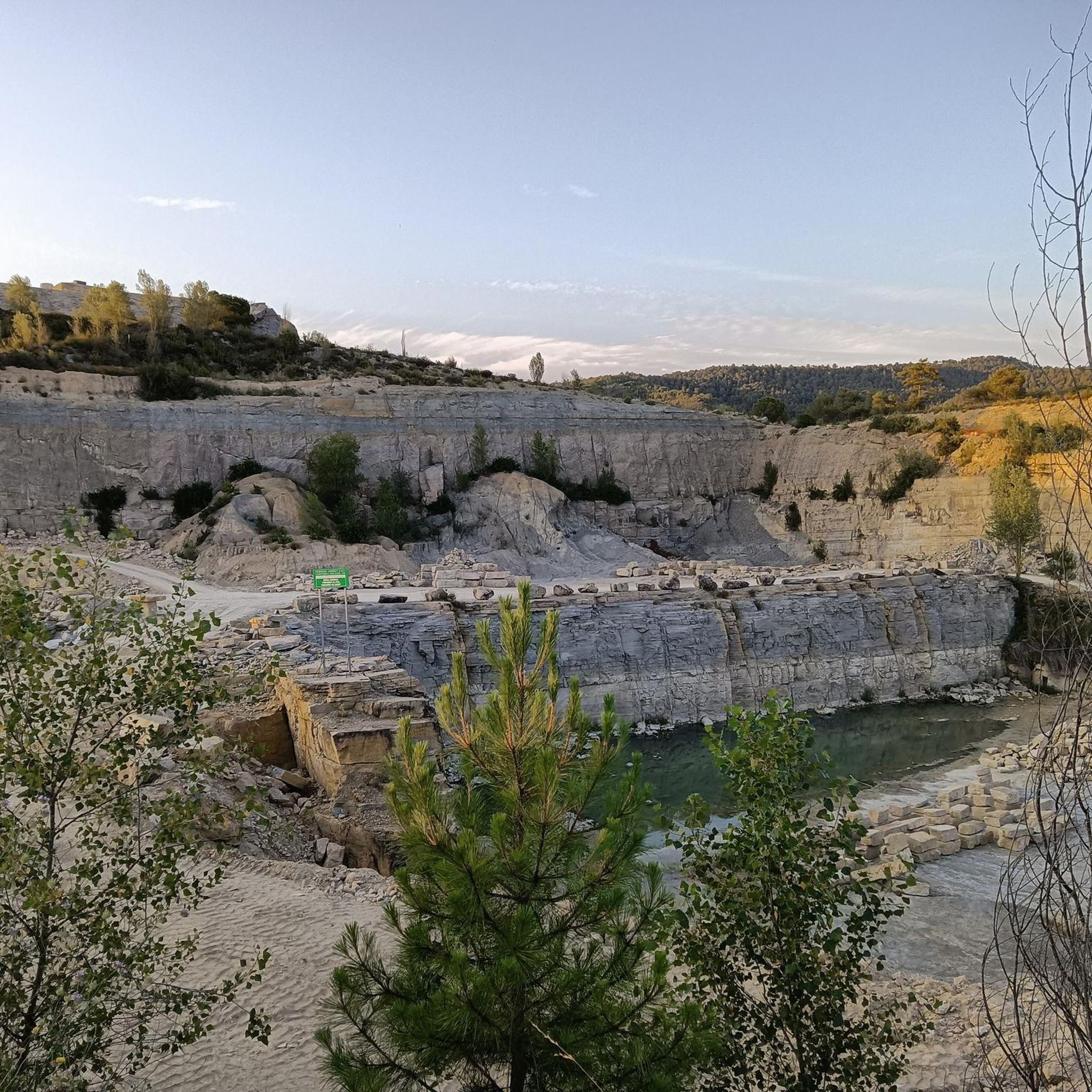
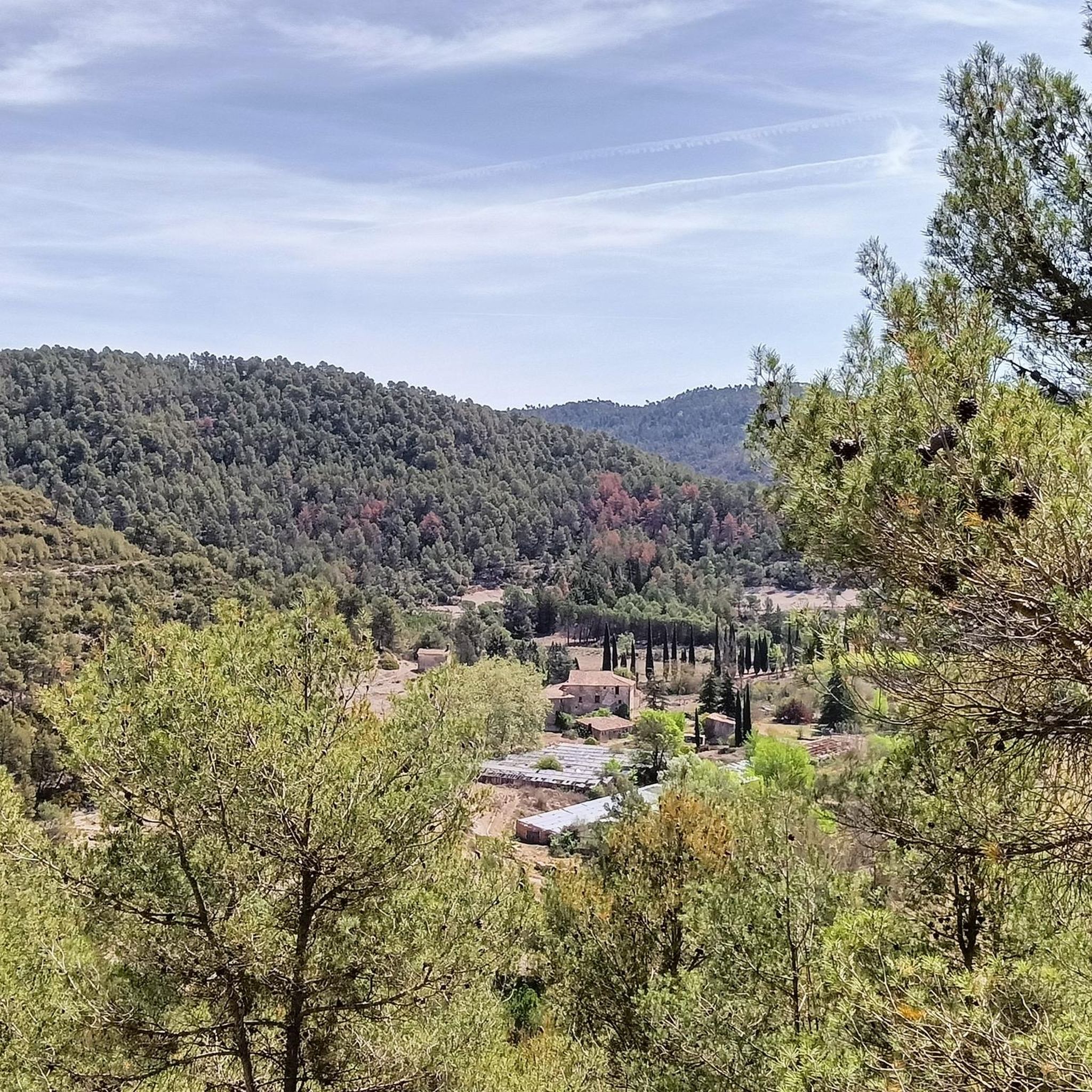
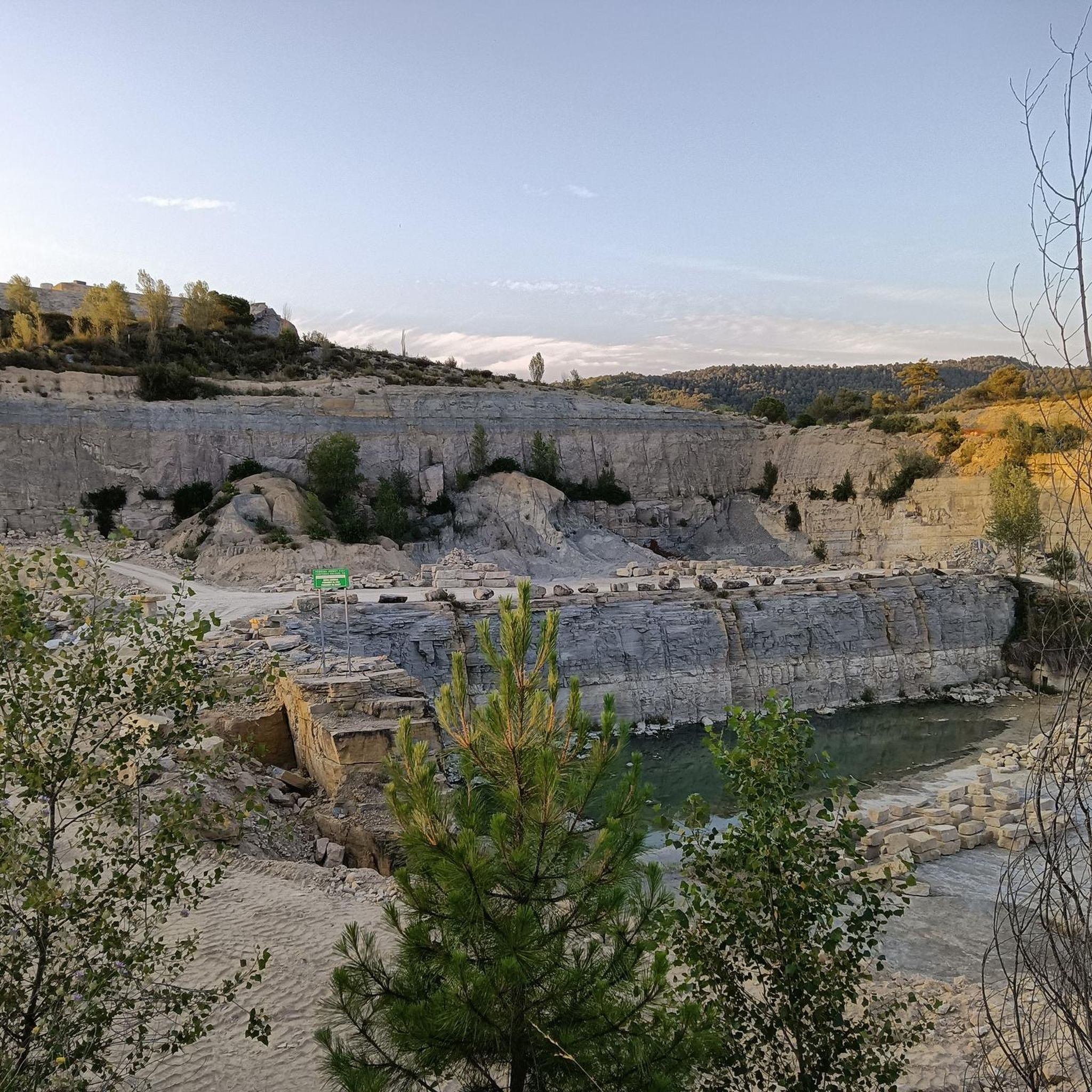
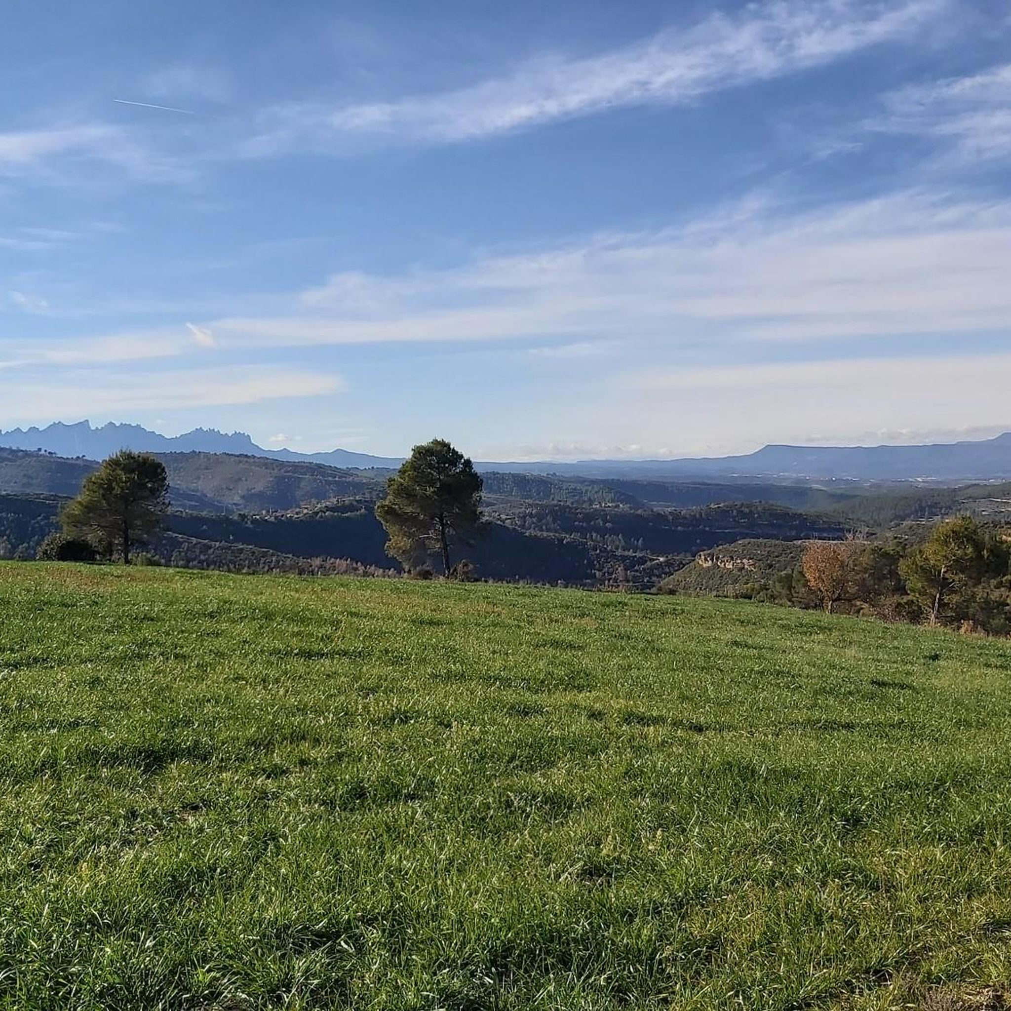

Tips from the Community

An old mill on the Llobregat River. In this area, mills were used to produce not only flour, but also gunpowder.
0
0

View of the Monestir Sant Benet de Bages from Balç Caner
0
0

Molí del Menut. Private property Old mill restored and well preserved 👍
1
0
A town with a great history that is worth visiting 🤩
1
0

Pleasant walk through Talamanca and its surroundings with a moderate slope. The route runs along well-marked tracks and is marked with milestones with white and green labels. With this itinerary we will discover the medieval origins of Talamanca based on its cultural and natural heritage. The route follows a section of the stream between small gorges and waterfalls that have emerged between the rocks. The itinerary discovers constructions such as the dry stone huts, the water lilies or the unique area of the balma salt of the Gobians and a part following the stream bed, scene of one of the most important battles of the war of succession. Part of the excursion goes through Sant Llorenç del Munt i l'Obac Natural Park.
0
0
The water pump was a machine for raising water from a river course or a well. It consists of two wheels: one horizontal, to which a rotational movement is communicated by means of a horizontal stick moved by an animal, and the other vertical, which meshes with the first and moves a series of drawers arranged along an endless chain, the lower part of which is submerged in the water of the course or the well. In this case, the water was obtained from a natural spring that rose to a washhouse connected to a system of canals that, by gravity, distributed it to the orchards on the banks of the stream. The iron lever, located near the outer wheel, made it possible to choose one of the several existing channel systems in order to choose the garden that wanted to be watered.
0
0
Balma with a semicircular plan with a width of 42 m limited in the central part by a difference in level of 4 meters. The most remarkable thing is a small construction to collect the water that drips from the roof, located in the S area of the balma. The bauma is located on the Gobians stream, which originates at the source of the Pets at the top of the ridge. These mudstones are formed by water undermining the softer materials beneath the conglomerate rock. In the past, the orchards of the people of the village reached almost to the bottom of the bauma. These gardens located in the lower part of the town, next to the Talamanca stream and where there was water, provided the town with fresh vegetables over the centuries.
0
0
The network of churches, built in territory conquered by the Saracens, was essential for providing religious services to the colonists. Santa Maria (11th century), in Romanesque style, is an example. The current building shows the 18th century extensions that transformed the original Latin cross plan (one nave) into a basilica plan (three naves). On the facade, the rose window, the bell tower and the portal stand out with two domed semi-circular arches, decorated with an archivolt and Corinthian-style capitals. Behind, the apse is covered with a quarter-sphere vault and ornamented with blind arches and a triple-arched window. In the interior, the semi-circular vault roof reinforced with two lateral arches of the central nave and the Gothic sarcophagus of Berenguer de Talamanca, who died in 1325, stand out.
0
0
Frequently Asked Questions
How many hiking trails are available in Calders?
Calders offers a wide selection of hiking routes, with over 240 trails to explore. These range from easy strolls to more challenging paths, ensuring there's something for every hiker.
What kind of terrain and difficulty can I expect on hikes around Calders?
The hiking trails in Calders feature varied terrain, including paths around historical landmarks and natural features. Most routes have moderate elevation changes, with 163 routes classified as moderate and 63 as easy. There are also 15 more difficult trails for experienced hikers.
Are there any easy hiking options suitable for families or beginners in Calders?
Yes, Calders has 63 easy hiking routes perfect for families or beginners. An example is the Hiking loop from Navarcles, which is 3.2 miles (5.2 km) long and takes about 1 hour 25 minutes to complete, leading through pleasant countryside.
Can I find circular hiking routes in Calders?
Yes, circular routes are a defining characteristic of hiking in Calders. Many trails are designed as loops, allowing you to experience diverse scenery without retracing your steps. A popular option is the Talamanca – Circular Route.
What are some notable landmarks or natural features to see while hiking in Calders?
While hiking in Calders, you can discover a variety of landmarks. The region is known for its historical sites, including several castles. For example, you can visit Talamanca Castle or Granera Castle. There are also natural features like the weir mentioned in the Casa de les Tines – Weir Viewpoint loop from Navarcles.
Are there any caves to explore near the hiking trails in Calders?
Yes, the Calders area is home to several interesting caves. You can explore sites like The Blood Hospital, Cau dels Emboscats Cave, or Simanya Cave, which are listed among the nearby attractions.
What do other hikers say about the trails in Calders?
The hiking trails in Calders are highly regarded by the komoot community, with an average rating of 4.5 out of 5 stars from over 360 reviews. Nearly 3,000 hikers have used komoot to explore the region, often praising the varied terrain and well-maintained paths.
Are there any historical castles I can visit while hiking in Calders?
Absolutely. Calders is rich in history, and you can incorporate visits to several castles into your hikes. Notable castles include Talamanca Castle, Granera Castle, and Marfà Castle and Farmhouse. The Talamanca Castle – Molí del Menut loop from Talamanca is a great route to see one of these historical sites.
Is Calders suitable for dog-friendly hikes?
While specific regulations for dogs on trails can vary, many natural areas in Calders are generally welcoming to dogs, especially on leash. It's always recommended to check local signage or specific route details for any restrictions before heading out with your canine companion.
What is the best time of year to go hiking in Calders?
Calders offers enjoyable hiking experiences throughout much of the year. The varied landscapes, from forests to open areas, make it pleasant in spring and autumn with mild temperatures. Summer can be warm, so early morning or late afternoon hikes are often preferred. Winter hiking is also possible, though some higher elevation paths might require more preparation.
Are there any viewpoints or scenic spots along the hiking trails?
Yes, many routes in Calders offer scenic viewpoints. For instance, the Casa de les Tines – Weir Viewpoint loop from Navarcles provides views of a local weir and passes through diverse landscapes. The region's varied terrain often leads to elevated spots with panoramic vistas of the surrounding countryside.
Most popular attractions around Calders

Get inspired with the komoot mobile app


Explore more
Browse the best Hikes in other regions.
