The best road cycling routes around San Juan De Plan
4.8
(11)
989
riders
12
rides
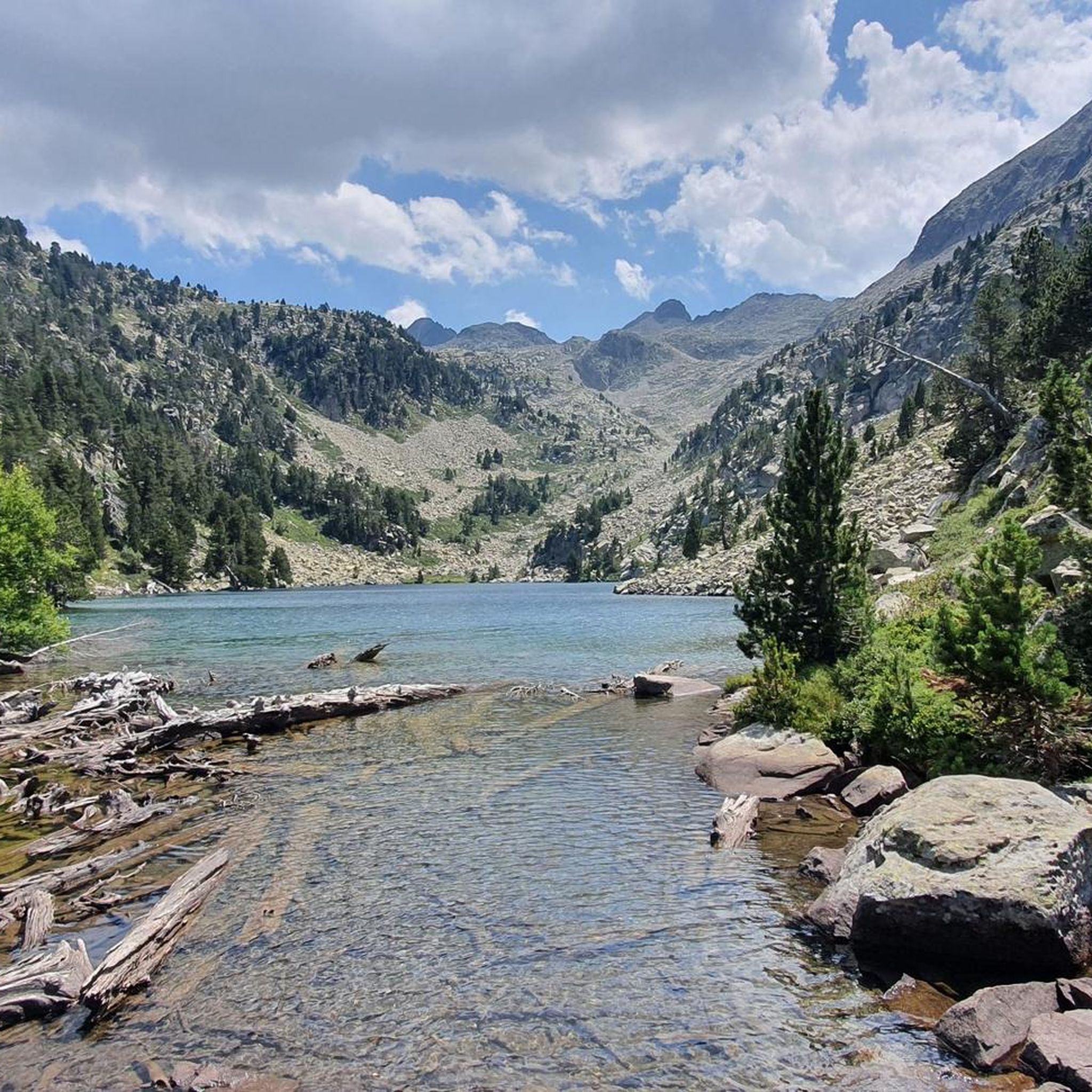
Road cycling around San Juan De Plan is characterized by its mountainous terrain within the Aragonese Pyrenees, situated at an altitude of 1,120 meters. The region features towering peaks, prominent mountain passes, and significant elevation gains, making it suitable for challenging road cycling routes. Cyclists encounter diverse landscapes including extensive pine and fir forests, high alpine meadows, and the Cinqueta River Valley. Glacial lakes, known as "ibones," are also notable features, providing scenic destinations for many routes.
Best road cycling routes around San Juan De Plan
- The most popular road cycling route is Eriste Reservoir – Historic Center of Benasque loop from Eriste, a 35.6 miles (57.3 km) trail that takes 3 hours 44 minutes to complete. This difficult route features over 5,100 feet (1,550 meters) of elevation gain.
- Another top favourite among local road cyclists is Castejón de Sos – Coll de Fadas loop from Eriste, a difficult 37.1 miles (59.8 km) path. This route includes over 4,500 feet (1,370 meters) of climbing through varied mountain scenery.
- Local road cyclists also love the Iglesia de Labuerda loop from Los Vives, a 38.0 miles (61.2 km) trail leading through the local countryside, often completed in about 2 hours 47 minutes.
- Road cycling around San Juan De Plan is defined by high mountain passes, deep river valleys, and dense forests. The network offers options for various ability levels, from moderate climbs to very challenging ascents.
- The routes in San Juan De Plan are highly rated by the komoot community with an average score of 4.7 stars from 7 reviews. More than 1,200 road cyclists have used komoot to explore San Juan De Plan's varied terrain.
Last updated: August 28, 2026
126
riders
57.9km
03:39
1,570m
1,570m
Hard road ride. Very good fitness required. Mostly well-paved surfaces and easy to ride.
82
riders
59.9km
03:25
1,370m
1,370m
Hard road ride. Very good fitness required. Mostly well-paved surfaces and easy to ride.

Sign up for free
5.0
(1)
53
riders
61.2km
02:47
650m
650m
Moderate road ride. Good fitness required. Mostly well-paved surfaces and easy to ride.
29
riders
19.8km
01:09
460m
470m
Moderate road ride. Good fitness required. Mostly well-paved surfaces and easy to ride.
5.0
(2)
20
riders
47.3km
02:41
1,030m
1,030m
Hard road ride. Very good fitness required. Mostly well-paved surfaces and easy to ride.
Get access to more routes and recommendations from other explorers.
Sign up for free
Already have an account?
Our route recommendations are based on thousands of hikes, rides, and runs completed by other people on komoot.
Start today with a free account
Your next adventure awaits.
Login or Signup
Popular around San Juan De Plan

Road to Lisbon – bikepacking the Alps, Pyrenees and Picos de Europa
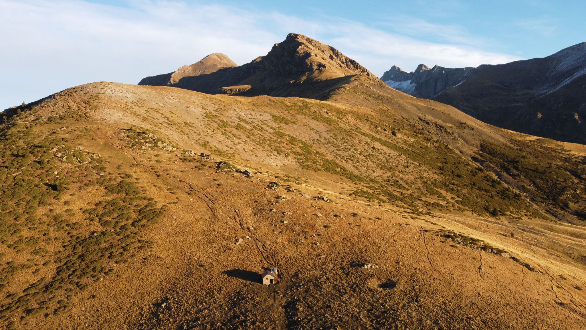
Rutas de alta montaña en el municipio de Sahún — Valle de Benasque
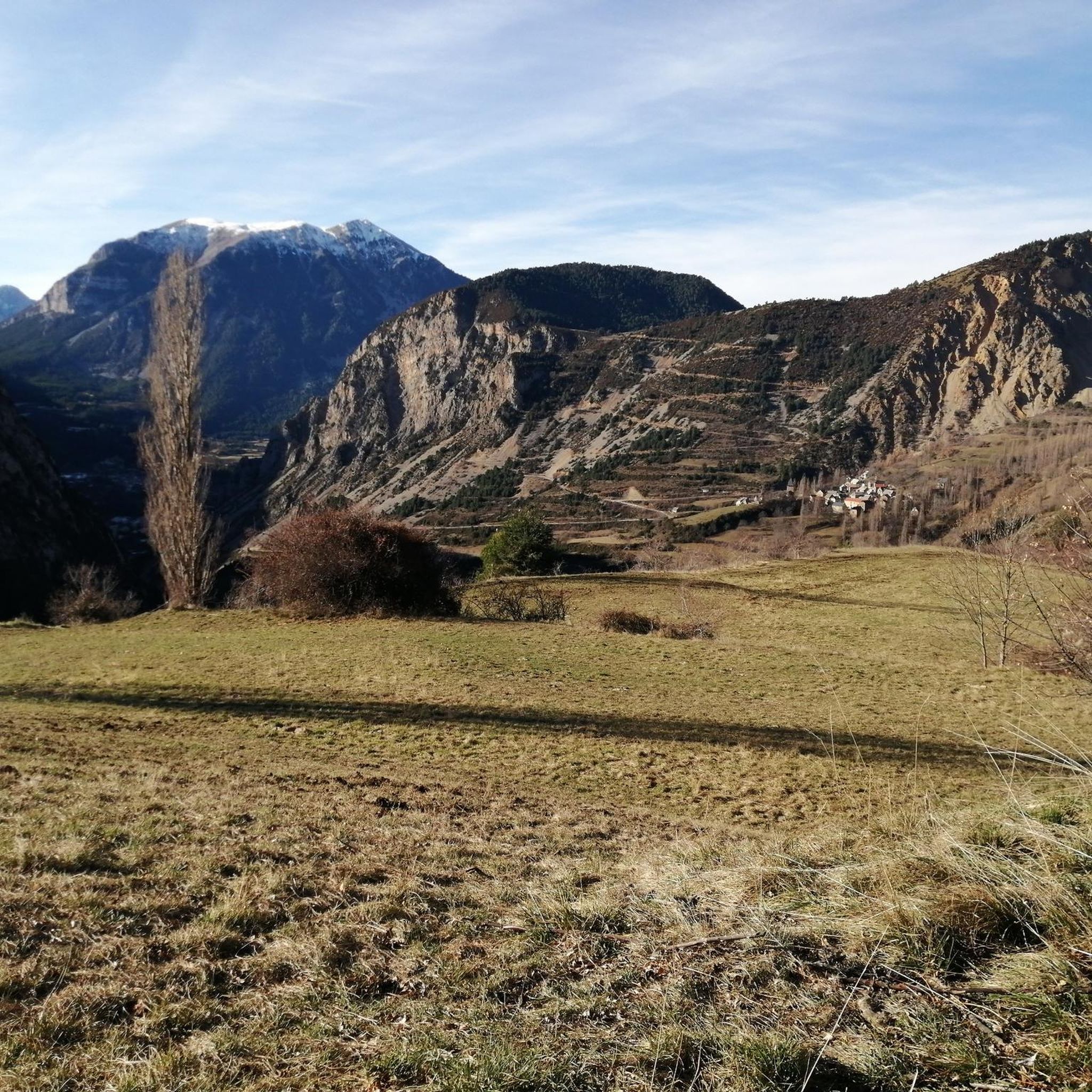
Running Trails around San Juan De Plan
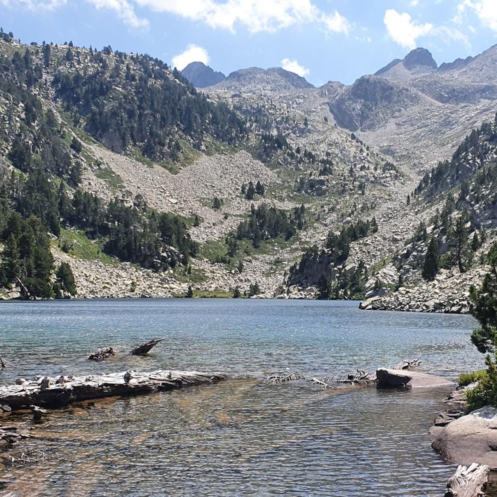
Hiking around San Juan De Plan
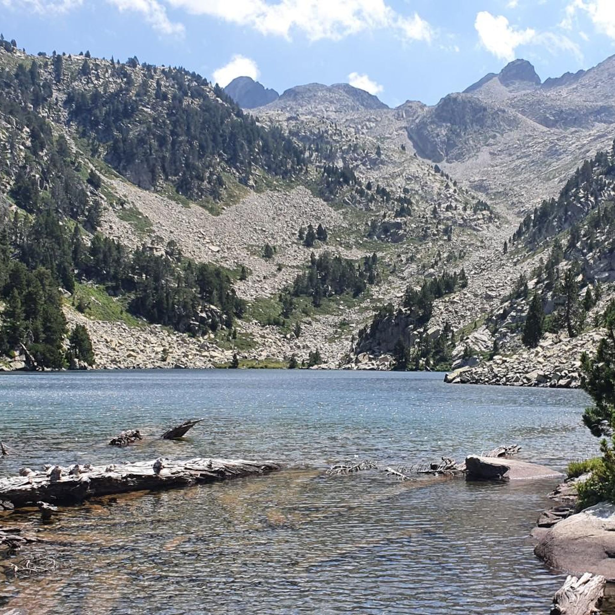
MTB Trails around San Juan De Plan
Cycling around San Juan De Plan
Gravel biking around San Juan De Plan

Mountain Hikes around San Juan De Plan


Tips from the Community

Lovely stop at the Hospital Plains!
0
0

In the upper part of the town is the parish church, of Romanesque origin, from the 12th century, reformed between the 16th and 18th centuries. The head, oriented to the east, is rectangular, probably from the 18th century when it had to replace the primitive semicircular apse, of which three arcuations are preserved inside the bell tower. There are five chapels, four of them covered with a barrel vault, except one of them, with a lunette vault cover. In one of them there is a baptismal font. Between two of these spaces you can see the old access to the bell tower, whose current access is only external. The tower, much reformed, maintains the tile roof and a last section with a semicircular window on each side and a skylight and small bell. A reform has cleaned the walls, leaving the stone exposed. The cemetery extends to the east and north, and is accessible by a door to the south-east of the church and also by stairs to the north-west.
0
0

This is a beautiful hospital/inn in an amazing location. It is worth a visit. And from here there are many trails to explore.
0
0

The Ésera, which is born in the Maladeta massif and is largely fed by the Aneto glacier, runs for about 95 kilometers to its mouth in the Cinca river. At this point is also the Seira hydroelectric power station, which was built in the first half of the 20th century and is still operational today.
1
0
Castejón de Sos is a fairly large Ribagorza municipality, compared to the small population centers that exist in the surroundings. It has hotels, supermarkets, restaurants and a pharmacy. It is very close to the Ventamillo Gorge, an imposing canyon crossed by the Ésera River.
1
0

Benasque occupies the central valley of the three that make up the Posets-Maladeta Natural Park. From this town with a lot of soul you can enjoy the Pyrenean landscape. Not only that, but it is home to the largest number of 3,000-meter-high peaks in the mountain range. The Benasque Valley forms the center and heart of the Pyrenees.
0
0

The Aínsa bridge that connects the two parts of the city and that are crossed by the Cinca river, is a space from where you can see Peña Montañesa to the west, and a little further to the east, the summit from Tuca Both are part of the Ferrera mountain range.
0
0

By a short path from the road you can easily reach one of the main waterfalls of the Barranco de Liri, also known as Barranco de las Doce Cascadas.
1
0
Frequently Asked Questions
How many road cycling routes are available around San Juan De Plan?
There are 11 road cycling routes around San Juan De Plan, offering a variety of experiences. These include 2 easy routes, 6 moderate routes, and 3 difficult routes, catering to different skill levels.
What is the general difficulty level for road cycling in San Juan De Plan?
Road cycling in San Juan De Plan is generally challenging, characterized by mountainous terrain, significant elevation gains, and prominent mountain passes. While there are some moderate options, the region is best suited for experienced cyclists due to the demanding conditions and considerable climbs.
Are there any easy road cycling routes for beginners or those seeking a less strenuous ride?
Yes, there are 2 easy road cycling routes available. While the region is known for its challenging terrain, these options provide a gentler introduction to the area's beauty without the intense climbs of the more difficult routes.
What kind of landscapes can I expect to see while road cycling in this region?
You can expect diverse and dramatic landscapes. Routes often wind through extensive pine and fir forests, high alpine meadows, and the picturesque Cinqueta River Valley. The backdrop includes towering peaks of the Aragonese Pyrenees, and you might encounter stunning glacial lakes, known locally as 'ibones'.
Are there any notable natural features or landmarks to see along the road cycling routes?
Yes, the region is rich in natural beauty. You can discover several glacial lakes, such as Ibón of Plan (Basa de la Mora), Lake Espingo, and Lac d'Oô. Other highlights include the Estós Valley and the charming settlement of Castejón de Sos, which often feature on routes.
What do other road cyclists think about the routes in San Juan De Plan?
The road cycling routes in San Juan De Plan are highly regarded by the komoot community, with an average rating of 4.7 stars from 7 reviews. Cyclists often praise the stunning Pyrenean views, the challenging climbs, and the diverse natural scenery.
Are there any long-distance road cycling loops available?
Yes, there are several long-distance loops. For example, the Iglesia de Labuerda loop from Los Vives is a moderate 61.2 km (38.0 miles) route, and the difficult Castejón de Sos – Coll de Fadas loop from Eriste covers 59.8 km (37.1 miles) with over 1,370 meters of climbing.
What is a good moderate-difficulty road cycling route to try?
A good moderate option is the Eriste Reservoir – Ésera River Bridge in Eriste loop from Eriste. This route is 34.9 km (21.7 miles) long with approximately 880 meters of elevation gain, offering a substantial ride without the extreme difficulty of some other routes.
What is the best time of year for road cycling in San Juan De Plan?
The best time for road cycling in San Juan De Plan is typically from late spring to early autumn. During these months, the weather is generally more stable, and mountain passes are clear of snow, offering optimal conditions for tackling the region's high-altitude routes.
Are there any shorter road cycling routes suitable for a quicker ride?
For a shorter ride, consider the Historic Center of Benasque – Benasque Village Center loop from Eriste. This moderate route is 19.4 km (12.1 miles) long with about 460 meters of elevation gain, making it a good option for a less time-consuming outing.
Can I find routes that offer significant elevation challenges?
Absolutely. The region is renowned for its challenging climbs. For instance, the Eriste Reservoir – Historic Center of Benasque loop from Eriste is a difficult 57.3 km (35.6 miles) route featuring over 1,550 meters of elevation gain, perfect for those seeking a rigorous workout.
Most popular routes around San Juan De Plan
Most popular attractions around San Juan De Plan

Get inspired with the komoot mobile app


Explore more
Browse the best Road cycling routes in other regions.
