The best running trails around Atapuerca
4.3
(5)
861
runners
55
runs
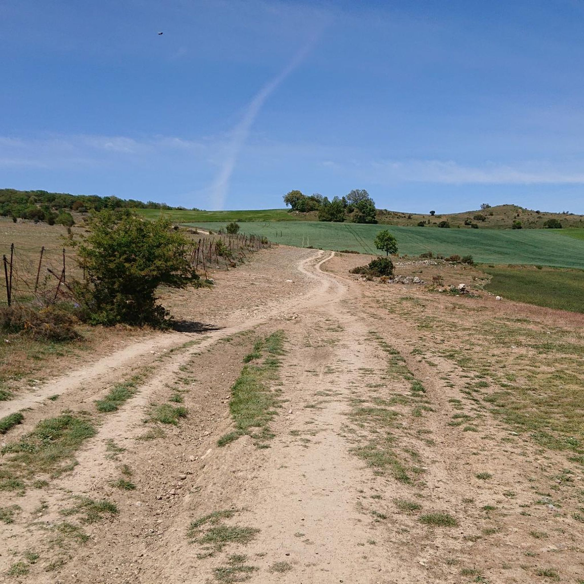
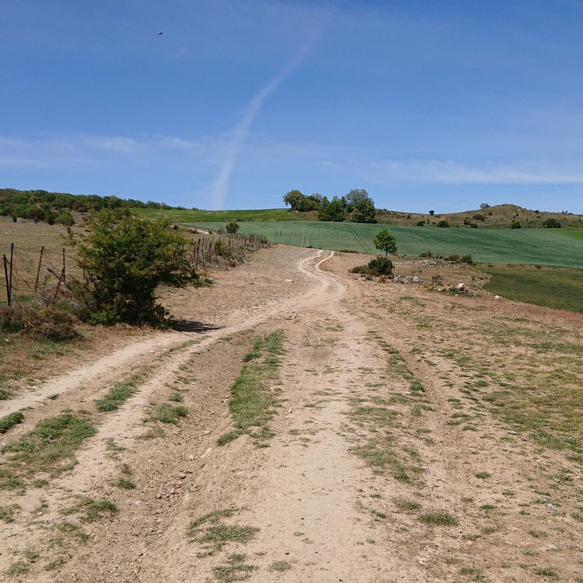
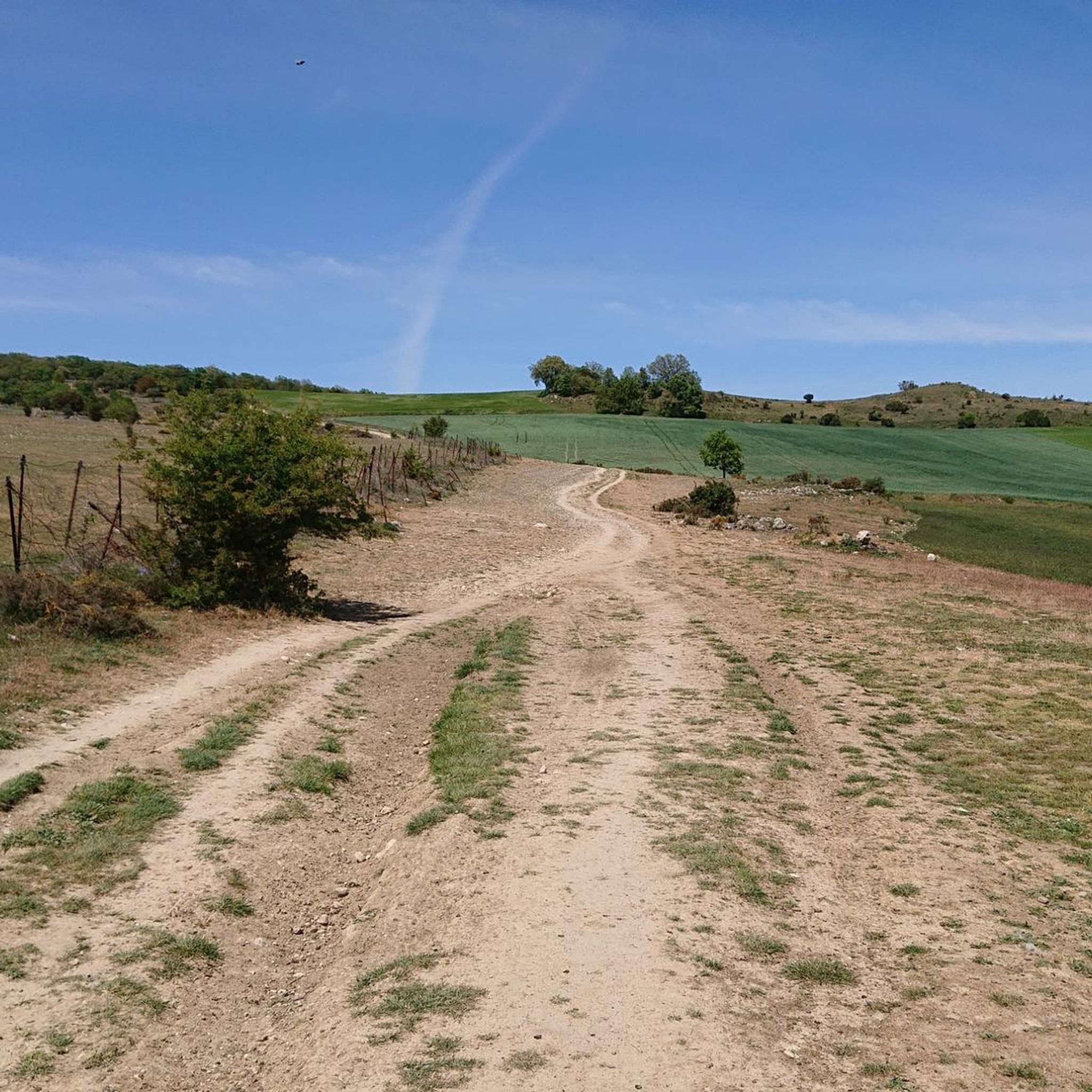
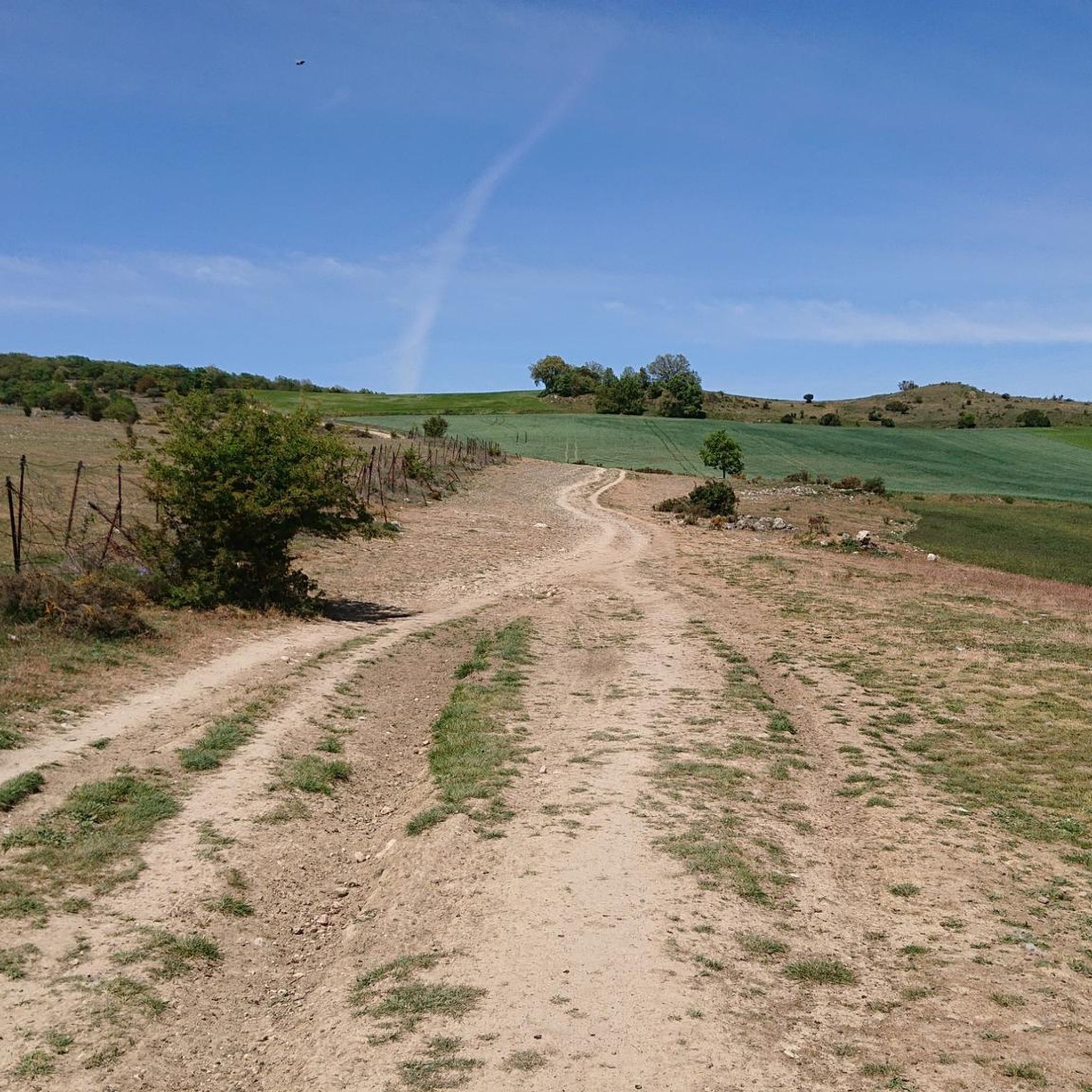
Jogging around Atapuerca offers a blend of archaeological significance and natural beauty within the Atapuerca Mountains. The region features varied terrain, including the long hill of the Sierra de Atapuerca and the flatter expanses of the Arlanzón River Valley. A karst landscape is present, contributing to diverse ground underfoot on certain trails. The area is characterized by oak trees and established paths, including sections of the Camino de Santiago.
Best jogging routes around Atapuerca
- The most popular jogging route is…
Last updated: October 15, 2026
13
runners
4.78km
00:32
10m
10m
Easy run. Great for any fitness level. Mostly paved surfaces. Suitable for all skill levels.
8
runners
6.68km
00:42
70m
70m
Moderate run. Good fitness required. Mostly paved surfaces. Suitable for all skill levels.

9
runners
43.8km
04:48
400m
400m
Hard run. Very good fitness required. Mostly paved surfaces. Suitable for all skill levels.
4
runners
6.45km
00:42
20m
20m
Moderate run. Good fitness required. Mostly paved surfaces. Suitable for all skill levels.
5
runners
Moderate run. Good fitness required. Mostly paved surfaces. Suitable for all skill levels.
Get access to more routes and recommendations from other explorers.
Already have an account?
Our route recommendations are based on thousands of hikes, rides, and runs completed by other people on komoot.
Start today with a free account
Your next adventure awaits.

Tips from the Community

Beautifully captured pilgrim on the bench in front of the immense Cathedral on the square in front of the terraces.
4
0
Place with a view of the stream
8
0


The banks of the Arlanzón river as it passes through Burgos are a perfect setting for outdoor sports.
1
1
Bridge that connects fuentes Blancas with La Ventila.
0
0

In Burgos, the Arlanzón River Park is ideal for activities such as hiking, sport fishing (trout and barbel), and walks along trails such as the Molino del Cubo or the Puente del Abad.
3
0
The Arlanzón River is one of the most important natural features of the city of Burgos and its surroundings. Source: In the Sierra de la Demanda, specifically in the Fuente de Tañuelos, near San Millán Peak (2,131 m), in the municipality of Riocavado de la Sierra.
3
0
In Burgos, there are several bridges that cross the Arlanzón River, each with its own history and heritage value.
2
0
Frequently Asked Questions
How many running routes are available in Atapuerca?
The Atapuerca region offers over 45 running routes, catering to various preferences. Most are moderate, with some challenging options for experienced runners.
What kind of terrain can I expect on the running trails around Atapuerca?
The terrain is diverse, ranging from the varied landscape near the Arlanzón River Valley to the more challenging ascents in the Sierra de Atapuerca. You'll encounter established paths, dirt tracks, and areas with karst formations, providing varied ground underfoot. Oak trees are also a common feature along many routes.
Are there any easy running routes suitable for beginners or families in Atapuerca?
While most routes in Atapuerca are rated as moderate, some sections, particularly those near the Arlanzón River Valley, offer flatter terrain. For example, the Running loop from Ibeas de Juarros is a shorter, moderate option that might be suitable for those looking for a less strenuous run.
What are some longer distance running trails in the Atapuerca area?
For those seeking a longer run, routes like the Sierra de Atapuerca loop from Base Militar Cid Campeador de Castrillo del Val offer a substantial challenge, covering over 12 kilometers with significant elevation gain. Another good option is the Running loop from Base Militar Cid Campeador de Castrillo del Val, which is over 11 kilometers.
Can I find circular running routes in Atapuerca?
Yes, many of the running paths in Atapuerca are designed as loops, allowing you to start and finish at the same point. Examples include the popular Running loop from Control and the Yacimiento Aymerich loop from Control, which takes you near the archaeological sites.
What historical or natural landmarks can I see while running in Atapuerca?
Atapuerca is rich in both history and natural beauty. Many trails pass by or offer views of the world-renowned archaeological sites, such as the Atapuerca Archaeological Site, where significant discoveries about human evolution were made. You can also experience the unique Castilian landscape and the Atapuerca Archaeological Site Cave Entrance. The region is also part of the Camino de Santiago, offering a blend of historical significance and outdoor exercise.
Are there any viewpoints or scenic spots along the running trails?
Yes, the Sierra de Atapuerca offers rewarding panoramic views of Burgos and the Castilian plateau from its higher elevations. The diverse landscapes, including the Arlanzón River Valley and the Corredor de la Bureba, provide many scenic opportunities to observe local flora and fauna during your run.
Is Atapuerca suitable for dog-friendly running?
The natural environment of Atapuerca, with its varied trails and open spaces, can be suitable for running with dogs. However, it's always recommended to keep dogs on a leash, especially near archaeological sites or areas with wildlife, and to check local regulations regarding pets on specific trails.
What is the best time of year to go running in Atapuerca?
Atapuerca is suitable for running throughout much of the year. The region hosts an International Cross-Country Run in November, indicating its suitability for running even into the cooler months. Spring and autumn generally offer pleasant temperatures for outdoor activities, while summer mornings or evenings can be ideal to avoid the midday heat.
Are there amenities like cafes or parking near the running routes in Atapuerca?
Atapuerca is a small village, and while amenities might be limited directly on the trails, the village itself and nearby towns like Ibeas de Juarros offer basic services. Parking is generally available in or near the starting points of routes. It's advisable to carry water and snacks, especially when venturing into the natural park settings.
What do other runners enjoy most about jogging in Atapuerca?
The komoot community highly rates the running experience in Atapuerca, with an average score of 3.0 stars. Runners often praise the unique blend of archaeological significance and natural beauty, the varied terrain, and the opportunity to run through historical landscapes and sections of the Camino de Santiago.
Most popular attractions around Atapuerca

Get inspired with the komoot mobile app


Explore more
Browse the best Running Trails & Routes in other regions.
