The best road cycling routes around La Losilla
52
riders
7
rides
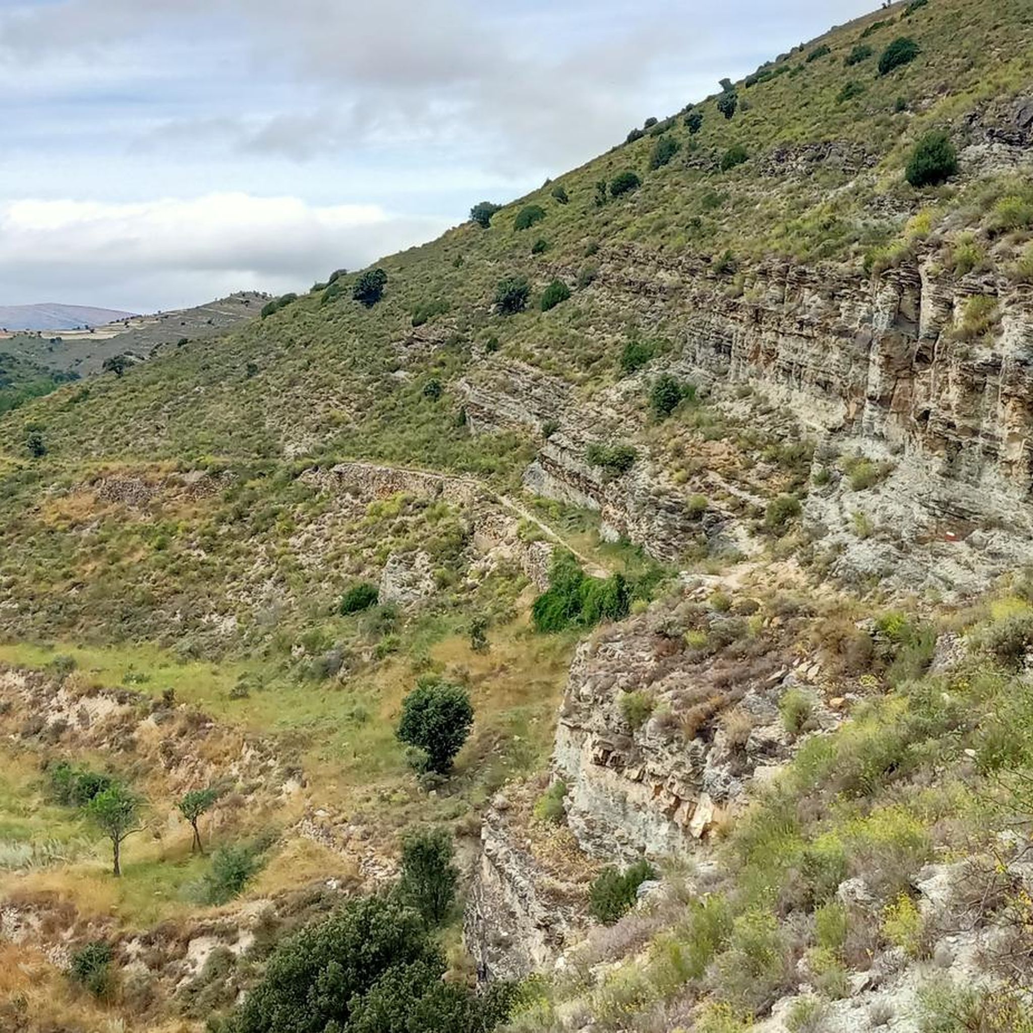
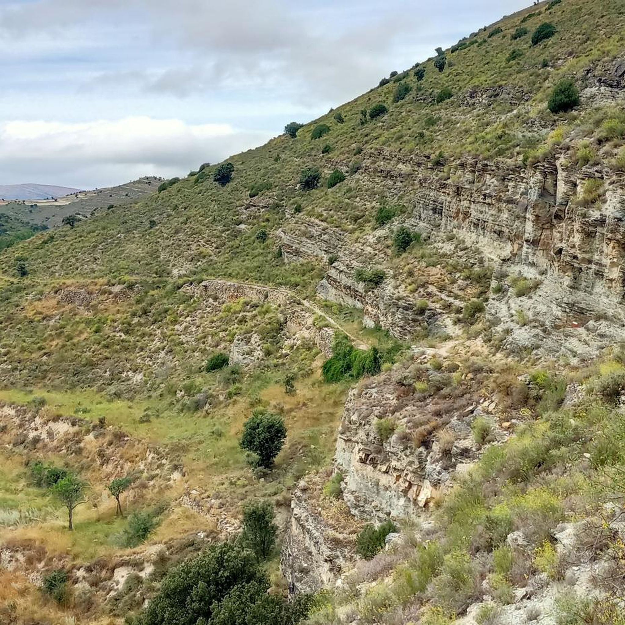
Road cycling routes around La Losilla traverse a landscape characterized by significant elevation changes, indicative of a mountainous or very hilly region. The area features rural roads connecting small villages and historical sites, offering varied terrain for road cyclists. Routes often include climbs to high points and passes, providing challenging ascents and descents. The region's road network allows for exploration of its natural and cultural elements.
Best road cycling routes around La Losilla
- The most popular road cycling route is San Pedro Manrique from Magaña — circular via Santa Cruz de Yanguas and Castilfrío de la Sierra, a 60.5 miles (97.4 km) trail that takes 5 hours 13 minutes to complete. This difficult route features substantial elevation gain through rural Spanish landscapes.
- Another top favourite among local road cyclists is Views of the Castillo de Magaña – Fuentes de Magaña loop from Alto de la Sierrezuela, a difficult 47.6 miles (76.6 km) path. This route includes significant climbing and offers views of the Castillo de Magaña.
- Local road cyclists also love the San Juan de Rabanera Church – Church of Santo Domingo loop from Suellacabras, a 36.8 miles (59.3 km) trail leading through rural areas and past historical churches, often completed in about 2 hours 42 minutes.
- Road cycling around La Losilla is defined by challenging climbs, rural roads, and historical landmarks. The network offers options for both moderate and difficult ability levels.
- The guide includes highly-rated routes that showcase the best of the region's landscape. More than 40 road cyclists have used komoot to explore La Losilla's varied terrain.
Last updated: June 28, 2026
2
riders
Hard road ride. Very good fitness required. Mostly well-paved surfaces and easy to ride.
29
riders
Moderate road ride. Good fitness required. Mostly well-paved surfaces and easy to ride.

Sign up for free
5
riders
49.4km
02:17
600m
600m
Moderate road ride. Good fitness required. Mostly well-paved surfaces and easy to ride.
5
riders
48.7km
02:29
850m
850m
Moderate road ride. Good fitness required. Mostly well-paved surfaces and easy to ride.
3
riders
76.4km
04:02
1,450m
1,450m
Hard road ride. Very good fitness required. Mostly well-paved surfaces and easy to ride.
Get access to more routes and recommendations from other explorers.
Sign up for free
Already have an account?
Our route recommendations are based on thousands of hikes, rides, and runs completed by other people on komoot.
Start today with a free account
Your next adventure awaits.
Login or Signup
Popular around La Losilla
Tips from the Community

There is a fountain and a bar in the center of the village
0
0

Small and pretty town, area with lots of interesting mountain bike trails
0
0
there is a fountain and bar in the square
1
0

Almarza is a municipality in the province of Soria, in the Almarza region, community of Castilla y León. The origins of this population can be found in some of the nuclei that make up the term, such as the Celtiberian forts of Gallinero and Tera or the dolmen of San Gregorio. Among its heritage, the Casa Fuerte, the Convent, the church of San Gregorio (in Cubo de la Sierra) and the palace house of the Marquis of Vadillo (in Tera) stand out.
0
0
Santa Cruz de Yanguas is a municipality in Soria in the Tierras Altas region, community of Castilla y León. During the Middle Ages it was part of the Community of Villa y Tierra de Yanguas. It is located in the Baos River basin, and has important forest and mycological resources. The municipal area is part of the Urbión Regional Reserve, with a large presence of deer, roe deer, wild boar and woodcock. Of its heritage, the Roman bridge that spans the bed of the Baos River, the church of the Santísima Trinidad (16th century) in Gothic style and the hermitage of the Virgen del Pilar stand out. As in the rest of the region, you can find dinosaur footprints (ichnites).
2
0
San Pedro Manrique is a municipality in Soria in the Tierras Altas region, in the community of Castilla y León. Its origin dates back to the Celts, Vascones, Iberians and Romans. With the passage of time, other neighboring towns such as Sarnago, Las Fuentes de San Pedro, Matasejún, Palacio de San Pedro, Taniñe, Valdenegrillos and Ventosa de San Pedro have been incorporated into the municipal area. San Pedro Manrique is well known for his particular way of celebrating San Juan Day. On the night of San Juan the well-known "paso del fuego" is carried out, in which the embers of a bonfire are stepped on by the town's natives, barefoot and carrying someone on their backs. Among its heritage, the hermitage of the Virgen de la Peña, the church of San Miguel, the remains of a castle on the outskirts and the ruins of the convent of San Pedro el Viejo stand out.
0
0
Fuentes de Magaña is a town in Soria in the Tierras Altas region, in the community of Castilla y León. During the Middle Ages it was part of the Community of Villa y Tierra de Magaña. Of its heritage, the church of the Immaculate Conception and the hermitage of San Sebastián stand out. Just 200 meters from the town, to the south, you can see some dinosaur footprints, in the area known as the Miraflores ravine.
0
0
Magaña Castle is a medieval fortress located on a hill overlooking the town of the same name, in the province of Soria, Tierras Altas region, community of Castilla y León. It is believed to have been built during two stages throughout the 15th century. The inner enclosure would be built in the first stage, and the outer barrier in a second. Due to its architectural characteristics, it belongs to the typology of stately castle of the Valladolid school, very common in the north of Castile in the second half of the 15th century.
2
0
Frequently Asked Questions
What kind of terrain can I expect when road cycling around La Losilla?
Road cycling routes around La Losilla are characterized by significant elevation changes, indicating a mountainous or very hilly region. You'll encounter rural roads connecting small villages and historical sites, offering varied terrain with challenging ascents and descents.
How many road cycling routes are available in the La Losilla area?
There are 7 road cycling routes available around La Losilla, offering a range of experiences for cyclists.
Are there options for different skill levels among the road cycling routes?
Yes, the routes cater to different skill levels. You'll find 5 moderate routes and 2 difficult routes, ensuring options for both experienced cyclists and those looking for a significant challenge.
What are some challenging road cycling routes near La Losilla?
For a challenging ride, consider the San Pedro Manrique from Magaña — circular via Santa Cruz de Yanguas and Castilfrío de la Sierra, a difficult 60.5-mile route with substantial elevation gain. Another difficult option is Views of the Castillo de Magaña – Fuentes de Magaña loop from Alto de la Sierrezuela, which is 47.6 miles long and includes significant climbing.
Are there any circular road cycling routes in La Losilla?
Yes, many routes are designed as loops. For example, the popular San Pedro Manrique from Magaña — circular via Santa Cruz de Yanguas and Castilfrío de la Sierra is a circular route. Another option is the San Juan de Rabanera Church – Church of Santo Domingo loop from Suellacabras.
What historical landmarks or scenic viewpoints can I see while road cycling in La Losilla?
The region offers several points of interest. You can pass by the Castle of la Nava del Marqués de Magaña, or explore the Church, Medieval Bridge, and Stele of Renieblas. Many routes offer views of these historical sites and the surrounding rural Spanish landscapes.
Are there any castles or churches to explore on a road cycling tour?
Absolutely. You can cycle past the impressive Castle of la Nava del Marqués de Magaña. Routes also lead past historical churches like the San Pedro Church and the Church, Medieval Bridge, and Stele of Renieblas.
What is the best time of year for road cycling in La Losilla?
Given the region's hilly and potentially mountainous terrain, spring and autumn generally offer the most pleasant conditions for road cycling, with milder temperatures and beautiful scenery. Summers can be hot, and winters may bring colder weather and potential snow at higher elevations.
Is public transport available to access road cycling routes around La Losilla?
Information on specific public transport links directly to route starting points in La Losilla is limited. It's advisable to check local bus schedules or consider driving to a suitable starting point, as many routes begin in small villages.
Where can I find parking for road cycling routes in La Losilla?
Most road cycling routes in La Losilla start from small villages like Magaña, Suellacabras, or Almajano. You can typically find parking in or near these village centers, though specific designated cycling parking areas may not be widely available. Always be mindful of local parking regulations.
Are there any cafes or places to stop for refreshments along the routes?
The routes often connect small villages, which may have local cafes, bars, or small shops where you can stop for refreshments. However, it's always a good idea to carry sufficient water and snacks, especially on longer or more remote sections, as services might be sparse.
What do other road cyclists enjoy the most about road cycling in La Losilla?
Road cyclists who have explored La Losilla often praise the challenging climbs, the quiet rural roads, and the opportunity to discover historical landmarks. The varied terrain and scenic Spanish landscapes are frequently highlighted as key attractions.
Most popular routes around La Losilla
Most popular attractions around La Losilla

Get inspired with the komoot mobile app


Explore more
Browse the best Road cycling routes in other regions.
