The best mountain hikes around Arres
4.8
(6)
99
hikers
5
hikes
Mountaineering routes around Arres are situated within the high-altitude terrain of the Pyrenees, characterized by rugged peaks, deep valleys, and alpine passes. The region features significant elevation changes, with routes often leading to prominent summits and through challenging couloirs. Glacial formations and rocky landscapes are common, providing a demanding environment for experienced mountaineers.
Best mountaineering routes around Arres
- The most popular mountaineering route is Junction to Montañeta Couloirs – Pico Sacroux (2676 m) loop from Hospital de Benasque, a…
Last updated: July 4, 2026
24
hikers
Hard mountaineering route. Very good fitness required. Mostly accessible paths. Sure-footedness required.
13
hikers
11.1km
08:11
1,310m
1,310m
Hard mountaineering route. Very good fitness required. Sure-footedness, sturdy shoes and alpine experience required.

Sign up for free
18
hikers
Hard mountaineering route. Very good fitness required. Sure-footedness, sturdy shoes and alpine experience required.
5.0
(3)
7
hikers
13.1km
06:21
950m
950m
Hard mountaineering route. Very good fitness required. Mostly accessible paths. Sure-footedness required.
9
hikers
6.22km
02:17
190m
190m
Moderate mountaineering route. Good fitness required. Mostly accessible paths. Sure-footedness required.
Our route recommendations are based on thousands of hikes, rides, and runs completed by other people on komoot.
Start today with a free account
Your next adventure awaits.
Login or Signup
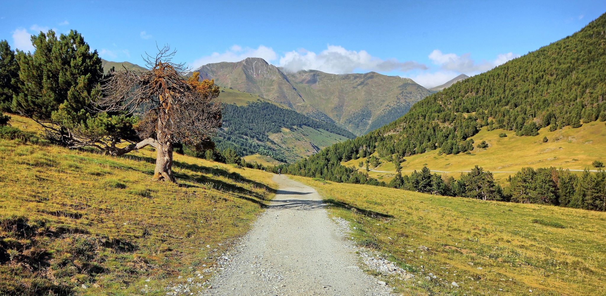
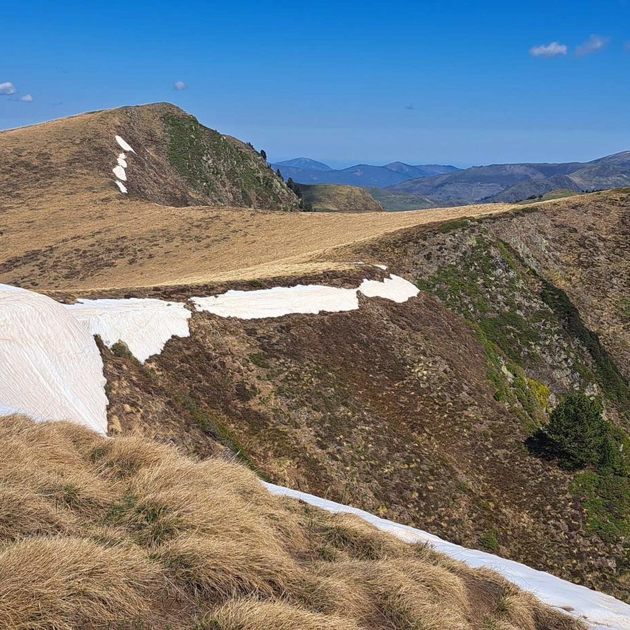
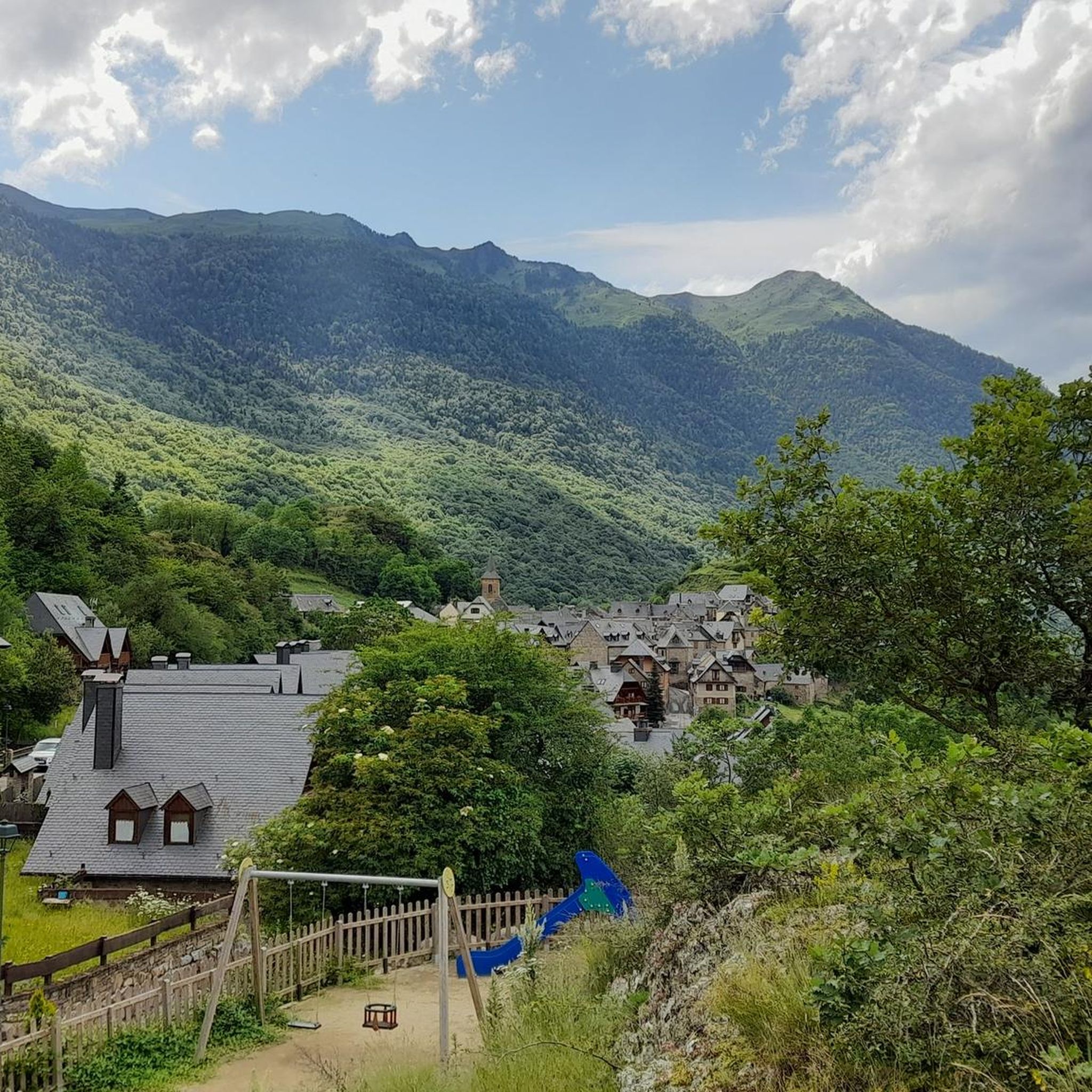

Other adventures around Arres

Tips from the Community


If instead of staying at the waterfall you go two more minutes you will have a spectacular photo of the Aneto glacier.
0
0
If instead of standing at the waterfall you advance two more minutes you will have a spectacular photo with the Aneto glacier.
1
0

The highest peak in the Pyrenees mountaineering region.
1
0


Very nice steep transition from F to E. The path is laid out in tight bends and hardly exposed (just steep). Coming from France, the gap looks insurmountable. In mid-June there may be some old snow fields that can be hard in the morning. Caution is advised; very light crampons, such as those available for trail running shoes, may be helpful.
0
0

This mesmerizing plain is an ancient filled lake from the immense glacier that occupied the entire valley thousands of years ago. A special place with a particular sound, as if silence occupied the space in a tangible way.
0
0
The highest peak in the Pyrenees and the one everyone wants to climb. Its demands are more physical than technical, with the exception of the Mahoma Pass, not suitable for those with vertigo, and the Aneto Glacier, which is recommended to avoid in the middle of summer when the hard centuries-old ice is exposed and landslides increase due to melting. At the top you will find a gigantic metal cross, a statue of the Virgen del Pilar and a small bust of San Marsial, patron saint of Benasque. Each of them installed by different groups that want to make their own a piece of this colossus that, although it is difficult to believe, went unnoticed for centuries in the shadow of the apparently more prominent Tuca de la Maladeta (from the Occitan "Mall Hita", the 'high peak').
1
0
Frequently Asked Questions
What is the overall difficulty level of mountaineering routes in Arres?
Mountaineering in Arres is primarily geared towards experienced individuals. The region features significant elevation changes, rugged peaks, and challenging couloirs. Out of the 12 routes available, 9 are classified as difficult, with the remaining 3 being moderate. There are no easy routes for beginners.
Are there any moderate mountaineering routes suitable for those building experience?
While most routes are difficult, there are a few moderate options. For example, the Boum de Venasque loop from Hospice de France offers a challenging but manageable ascent through high mountain terrain, typically taking around 6 hours 20 minutes to complete.
What is the best time of year for mountaineering in Arres?
The prime season for mountaineering in Arres, located in the high Pyrenees, is typically from late June to early September. During this period, snowmelt has largely receded from higher elevations, and weather conditions are generally more stable. Outside of these months, routes can involve significant snow and ice, requiring winter mountaineering skills and equipment.
Are there any circular mountaineering routes in Arres?
Yes, many of the mountaineering routes in Arres are designed as loops, allowing you to start and finish at the same point. An example is the Boum de Venasque – Portillón de Benasque loop from Hospice de France, a demanding 15.7 km route that offers a comprehensive experience of the high alpine passes.
Where can I find parking for the mountaineering trails?
Common starting points like Hospital de Benasque and Hospice de France typically offer parking facilities. It's advisable to arrive early, especially during peak season, as spaces can fill up quickly. Always check local signage for any parking restrictions or fees.
Is public transport available to access the mountaineering trailheads in Arres?
Access to the high mountain trailheads in Arres, such as Hospital de Benasque or Renclusa Refuge, is generally limited by public transport. While some valley towns may have bus services, reaching the specific starting points often requires a private vehicle or a taxi service. Always check local transport schedules in advance.
What kind of natural attractions can I expect to see along the routes?
The routes in Arres traverse a stunning high-alpine landscape. You can encounter impressive natural features like the Forau de Aiguallut, a unique geological formation, or the beautiful Salto del Pish Waterfall. Many routes also pass by pristine alpine lakes such as Ibón de Gorgutes, offering breathtaking views.
Are there any huts or refuges available along the mountaineering routes?
Yes, the Arres region has several mountain huts that can serve as resting points or overnight stays for longer tours. Notable options include the Refuge de Vénasque and the Renclusa Mountain Hut. These provide essential shelter and sometimes food services in remote areas.
Can I bring my dog on the mountaineering routes in Arres?
Generally, dogs are permitted on many trails in the Pyrenees, but regulations can vary, especially within protected areas or national parks. It's crucial to keep dogs on a leash to protect wildlife and livestock, and to ensure they are well-behaved and physically capable of handling the strenuous terrain. Always check specific local rules for the area you plan to visit.
What should I pack for a mountaineering trip in Arres?
Given the high-altitude and challenging nature of the routes, essential gear includes sturdy mountaineering boots, appropriate layers of clothing (including waterproof and windproof outer shells), a helmet, ice axe, crampons (especially early or late season), navigation tools (map, compass, GPS), sufficient water and food, first-aid kit, and sun protection. Always check the weather forecast before heading out.
What do other mountaineers enjoy most about the routes in Arres?
The mountaineering routes in Arres are highly regarded by the komoot community, with an average score of 4.8 stars from over 16 reviews. Mountaineers frequently praise the challenging ascents to prominent summits, the rugged beauty of the glacial formations, and the sense of accomplishment gained from tackling the demanding high-alpine passes.
Are there any permits required for mountaineering in Arres?
For most standard mountaineering routes in Arres, specific permits are not typically required for day hikes. However, if you plan to access certain protected areas, undertake multi-day expeditions with overnight stays in designated zones, or climb specific peaks, it's always best to check with local park authorities or mountain guides for any current regulations or permit requirements.
Most popular attractions around Arres

Get inspired with the komoot mobile app


Explore more
Browse the best Mountain Hikes & Routes in other regions.
