The best road cycling routes around Manzanal De Arriba
127
riders
17
rides
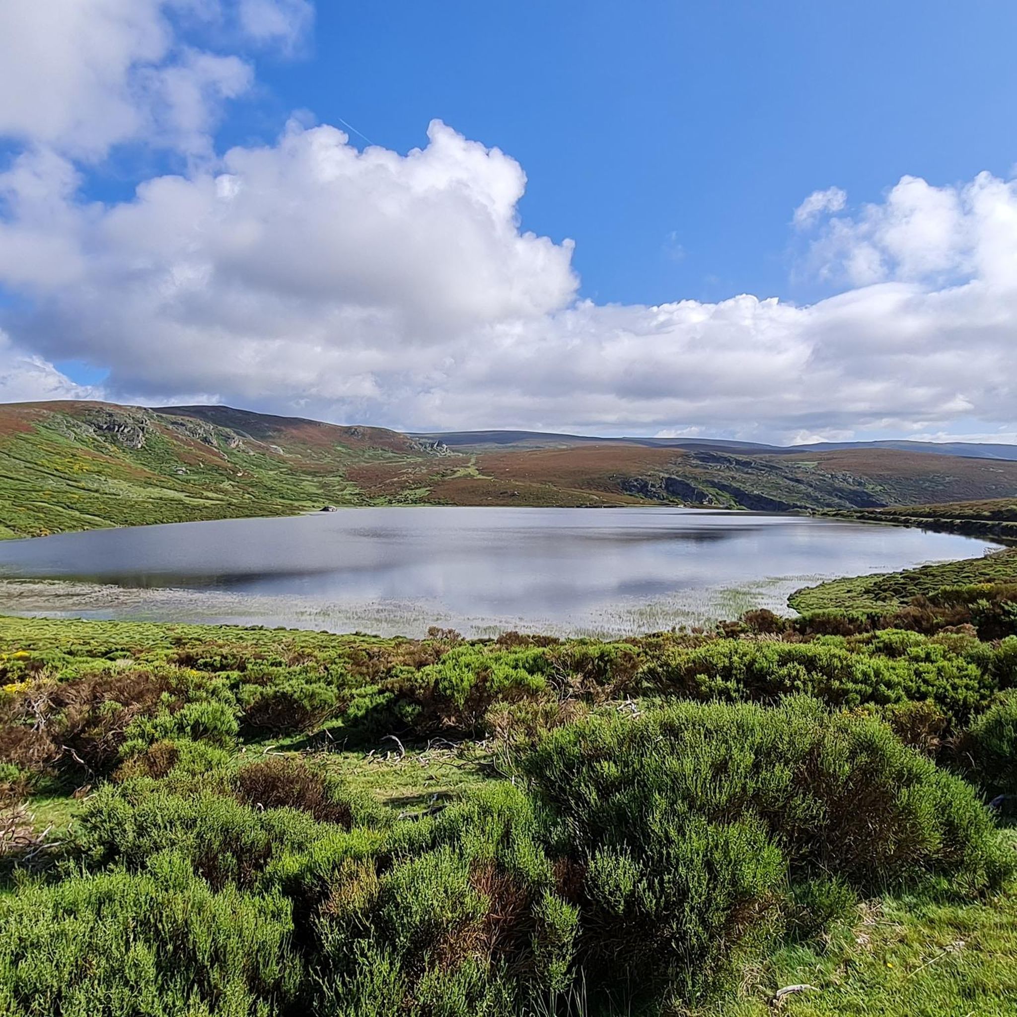
Road cycling routes around Manzanal De Arriba traverse a diverse landscape characterized by the mountainous terrain of the Sierra de la Culebra, featuring winding roads through oak, chestnut, and pine forests. The region includes significant natural features such as the Embalse de Valparaíso and Embalse de Cernadilla reservoirs, offering scenic routes alongside water bodies. Cyclists can expect varied elevation changes across this part of the Zamora province.
Best road cycling routes around Manzanal De Arriba
- The most popular road cycling…
Last updated: July 11, 2026
13
riders
58.9km
02:34
440m
440m
Cycle a moderate 36.6-mile route around Valparaíso Reservoir, passing through Villardeciervos and enjoying Sierra de la Culebra views.
8
riders
79.5km
03:58
1,250m
1,250m
Hard road ride. Very good fitness required. You may need to push your bike for some segments of this route.

Sign up for free
6
riders
Moderate road ride. Good fitness required. Mostly well-paved surfaces and easy to ride.
3
riders
62.5km
02:51
620m
620m
This 38.8-mile (62.5 km) moderate road cycling route in Sierra de la Culebra offers 2034 feet (620 m) of elevation gain.
15
riders
107km
05:04
1,400m
1,400m
Hard road ride. Very good fitness required. Mostly well-paved surfaces and easy to ride.
Get access to more routes and recommendations from other explorers.
Sign up for free
Already have an account?
Our route recommendations are based on thousands of hikes, rides, and runs completed by other people on komoot.
Start today with a free account
Your next adventure awaits.
Login or Signup
Other adventures around Manzanal De Arriba

Tips from the Community

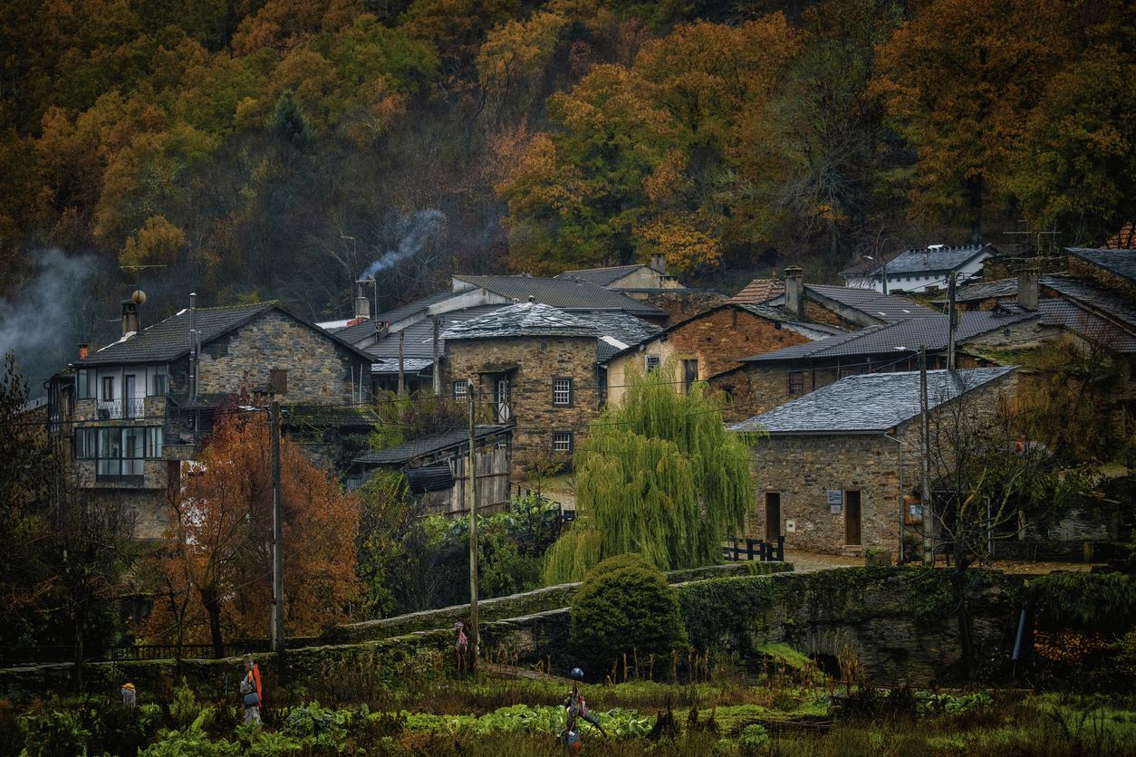
Rio de Onor is not just a beautiful village; it's a "living museum" of a way of life that has almost disappeared in Europe. It's worth visiting because it is possibly the village with the most fascinating social history in Portugal. Here are the 4 main reasons to go there: 1. It's a Community Village ("Communitarianism") This is Rio de Onor's great trademark. For centuries, the village lived under a system of total sharing among neighbors, something very rare: Sharing of Goods: The bread oven, the watermill, and even the village bull belonged to everyone. The "Rod of Justice": Decisions and fines for infractions in the village were marked on a wooden rod, managed by the "judge" elected by the people. You can see this history explained at the Casa do Touro (House of the Bull), a small, unmissable museum in the village. 2. One Village, Two Countries Rio de Onor is a village bisected by the international border. On this side is Rio de Onor (Portugal); on the other side is Rihonor de Castilla (Spain). For the inhabitants, the border never really existed: they share land, livestock, and even speak their own dialect (Rionorês), an ancient mixture of Portuguese and Castilian. It's very curious to cross from one country to the other on foot in the middle of the main street. 3. The Schist Landscape and Nature Located in the Montesinho Natural Park, the village is visually stunning. The houses are made of dark schist with wooden balconies, typical of Trás-os-Montes, and are very well preserved. The Onor River, which crosses the village, has clear waters and creates a very pleasant natural river beach in the summer, perfect for picnics. 4. The "Roman" Bridge The old stone bridge (which is actually from the 19th century, despite its popular name) is the village's postcard image. The reflection of the arches in the water with the schist houses in the background creates one of the most photogenic landscapes in Northern Portugal. Visiting Rio de Onor is like stepping back in time and understanding how communities survived in isolation in the mountains, supporting each other. It's a lesson in life and history in an incredible natural setting.
2
0

Rio de Onor is a sleepy little village right on the Portugal/Spain border. The drive through it is a challenging one and absolutely not recommended for larger campervans.
3
1

Rio de Onor is one of the most emblematic villages in Bragança and the Montesinho Natural Park, and was elected the 7th Wonder of Portugal in 2017 – a village in a protected area. Crossing the border with Spain, on one side is Rio de Onor, and on the other, Rihonor de Castilla, which is why it is said to be “one village, two countries”!
5
0

Built in the s. XV by the Pimentel family after taking control of the region, the fortress would witness the wars with Portugal in the s. XVIII and the War of Independence, when Portuguese soldiers would face the Serrar Division of the French army.
0
0

Imposing castle from the 15th century, a military fortress that was destroyed in the late 18th century and early 19th century during the War of Independence with Portugal and France. It suffered abandonment until the end of the 20th century, when the library, the Exhibition Hall and the Assembly Hall were installed. It currently houses the Visitor Center and the Municipal Tourism Office.
4
0

Built in the mid-15th century by Don Rodrigo Alonso de Pimentel and Doña María Pacheco (IV Counts of Benavente), it occupies a privileged position on a promontory. Rocky city plan protected by three river channels. It is a castle-fortress built in granite ashlar with a quadrangular walled enclosure and a central tower, the Torre del Homenaje or as it is popularly known “El Macho”.
5
1

Striking border town, half in Spain called Riohonor and half in Portugal, Río de Onor. At the exit on the Portuguese side there is a campsite with a bar
3
0

Picturesque border town on the banks of the Oñar River. The views from the Ponte de Rio de Onor are magical.
3
0
Frequently Asked Questions
How many road cycling routes are available around Manzanal De Arriba?
There are over 15 road cycling routes available around Manzanal De Arriba, offering a diverse range of experiences through the region's natural landscapes. These routes cater to both moderate and difficult ability levels.
What is the best time of year for road cycling in Manzanal De Arriba?
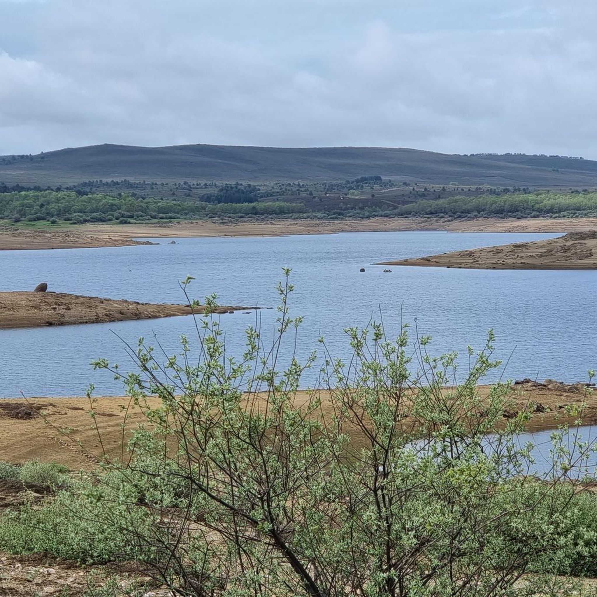
The region's oak and chestnut forests offer stunning colors throughout the seasons, making spring and autumn particularly picturesque for road cycling. Summer can also be enjoyable, especially for routes that pass near the Embalse de Valparaíso, where you can cool off at its crystalline beach.
Are there challenging road cycling routes with significant elevation in the area?
Yes, Manzanal De Arriba, situated in the mountainous Sierra de la Culebra, offers several challenging routes. For instance, the Palacios de Sanabria – tour around Eriá river and Truchas – Alto Peñón route is a difficult 66.1-mile (106.4 km) trail with significant elevation gain, taking you through varied landscapes. The highest point in the Sierra de la Culebra, Peña Mira (1243 meters), also provides challenging climbs.
Can I find moderate road cycling routes suitable for a less intense ride?
Absolutely. Many routes offer a moderate challenge, perfect for enjoying the scenery without extreme difficulty. The Valparaíso and Cernadilla Reservoirs Loop is a popular moderate 36.6-mile (58.9 km) path, offering beautiful views of the reservoirs and a mix of open and forested scenery.
Are there any circular road cycling routes around Manzanal De Arriba?
Yes, the region features several circular routes. A notable option is the Embalse de Cernadilla y Sierra de la Culebra — circular por Puebla de Sanabria, a 49.4-mile (79.5 km) trail that leads through the Sierra de la Culebra, offering a comprehensive tour of the area's natural beauty.
What natural features or landmarks can I see along the road cycling routes?
Road cycling routes in Manzanal De Arriba often pass through the rich oak and chestnut forests of the Sierra de la Culebra. You can also enjoy views of the Embalse de Valparaíso and Embalse de Cernadilla reservoirs. The picturesque Rio de Onor Village and its magical views from the Ponte de Rio de Onor are also accessible on some routes.
Are there any cultural or historical attractions near the cycling routes?
Beyond natural beauty, the region offers several cultural stops. You might encounter the Hermitage of the Incarnation in Palacios de Sanabria, various historic stone churches, or even the Ethnographic Museum in Codesal. The traditional architecture of stone houses in the villages adds to the charm.
Where can I find parking for road cycling routes in Manzanal De Arriba?
Parking is generally available in the villages and near popular starting points for routes. For instance, routes originating from the Embalse de Valparaíso area, such as Muelas de los Caballeros from Embalse de Valparaíso – circular via Peque and Mombuey, typically have designated parking areas nearby.
Are there cafes or pubs along the road cycling routes for a break?
While specific cafes and pubs directly on every route can vary, the villages within the Manzanal De Arriba municipality and surrounding areas often have local establishments where cyclists can stop for refreshments. Planning your route to pass through these villages will allow for convenient breaks.
What do other road cyclists enjoy most about cycling in Manzanal De Arriba?
Road cyclists frequently praise the region's diverse and well-preserved natural landscapes, particularly the winding roads through deep forests of oaks, chestnuts, and pines in the Sierra de la Culebra. The scenic views of the Embalse de Valparaíso and the tranquility of the area are also highly appreciated.
Are there any routes that offer panoramic viewpoints?
Yes, the mountainous terrain of the Sierra de la Culebra provides numerous opportunities for panoramic views. The highest point, Peña Mira, offers expansive vistas. Additionally, routes like the Sierra de la Culebra Loop from Mahide will immerse you in the region's elevated landscapes, often revealing stunning viewpoints.
Most popular attractions around Manzanal De Arriba

Get inspired with the komoot mobile app


Explore more
Browse the best Road cycling routes in other regions.
