The best walks and hikes around Colmenar Viejo
4.4
(386)
2,417
hikers
52
hikes
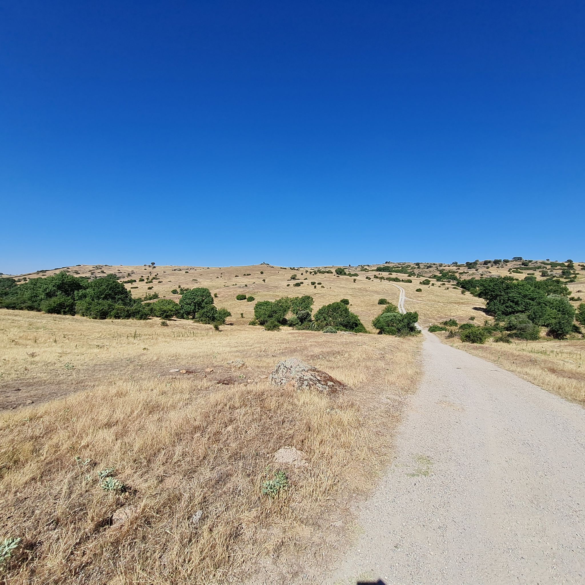
Hiking around Colmenar Viejo, located north of Madrid at the foothills of the Sierra de Guadarrama, offers diverse landscapes for outdoor activities. The region encompasses parts of the highly protected Regional Park of the Upper Manzanares Basin and the Dehesa de Navalvillar, known for its biodiversity. The terrain features extensive grasslands, areas shaped by traditional granite mining, and prominent natural features like the Cerro de San Pedro and the tranquil Pedrezuela Reservoir. These varied environments provide a range of hiking…
Last updated: October 10, 2026
4.6
(43)
375
hikers
4.39km
01:45
350m
350m
Moderate hike. Good fitness required. Easily-accessible paths. Suitable for all skill levels.
4.3
(3)
12
hikers
Hard hike. Very good fitness required. Mostly accessible paths. Sure-footedness required.

4.7
(10)
39
hikers
13.1km
04:02
340m
340m
Moderate hike. Good fitness required. Mostly accessible paths. Sure-footedness required.
4.8
(6)
50
hikers
11.0km
02:58
140m
130m
Moderate hike. Good fitness required. Easily-accessible paths. Suitable for all skill levels.
4.3
(8)
37
hikers
10.4km
02:51
160m
160m
Moderate hike. Good fitness required. Easily-accessible paths. Suitable for all skill levels.
Get access to more routes and recommendations from other explorers.
Already have an account?
Our route recommendations are based on thousands of hikes, rides, and runs completed by other people on komoot.
Start today with a free account
Your next adventure awaits.
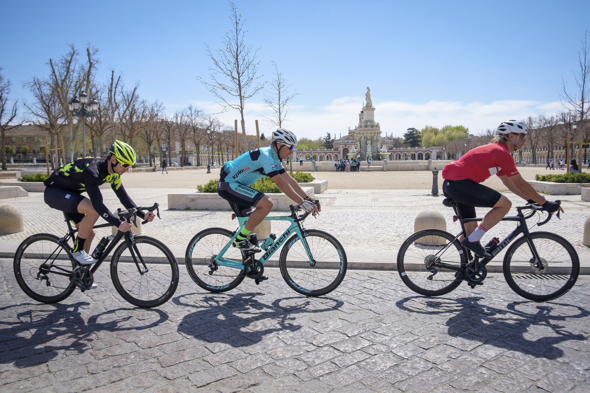
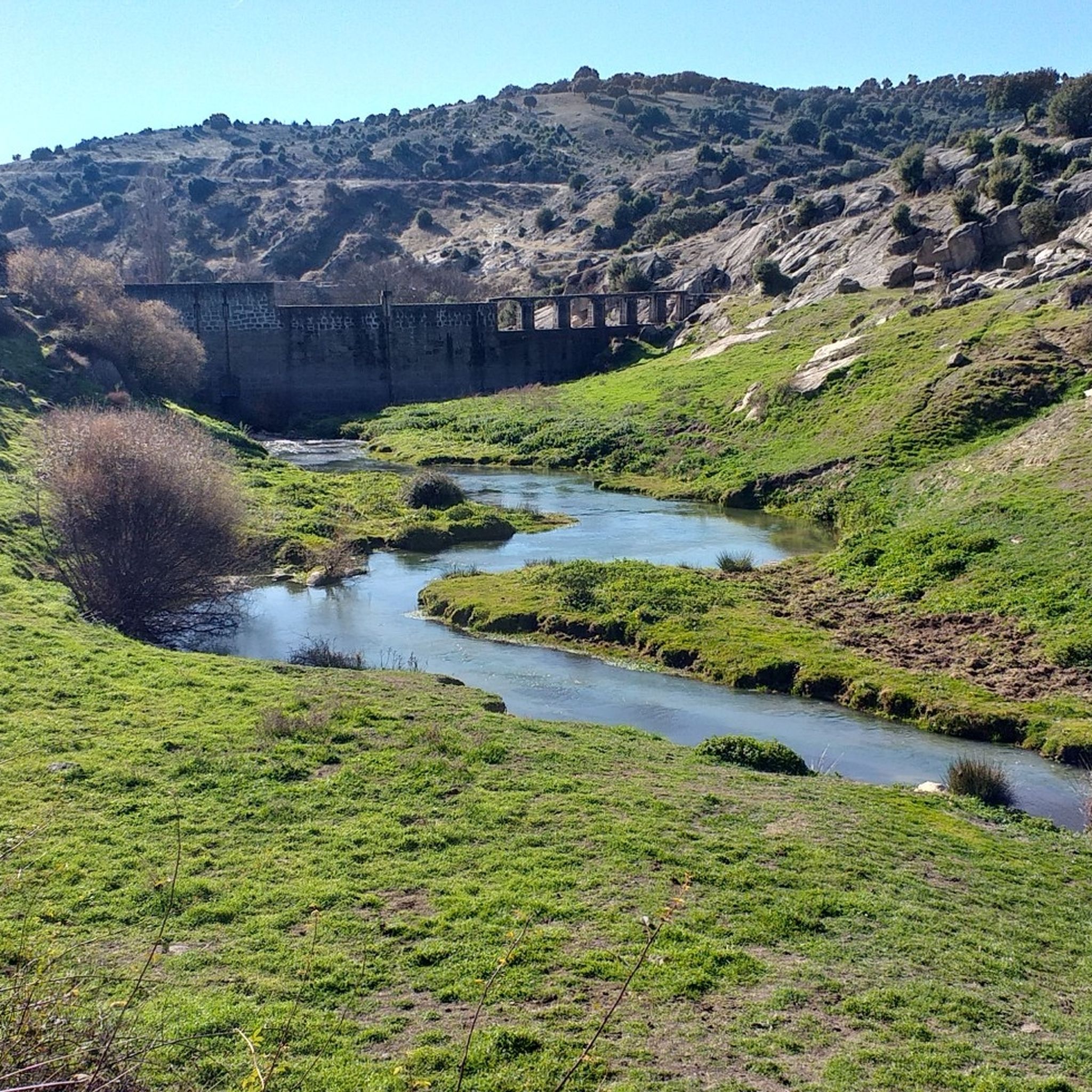
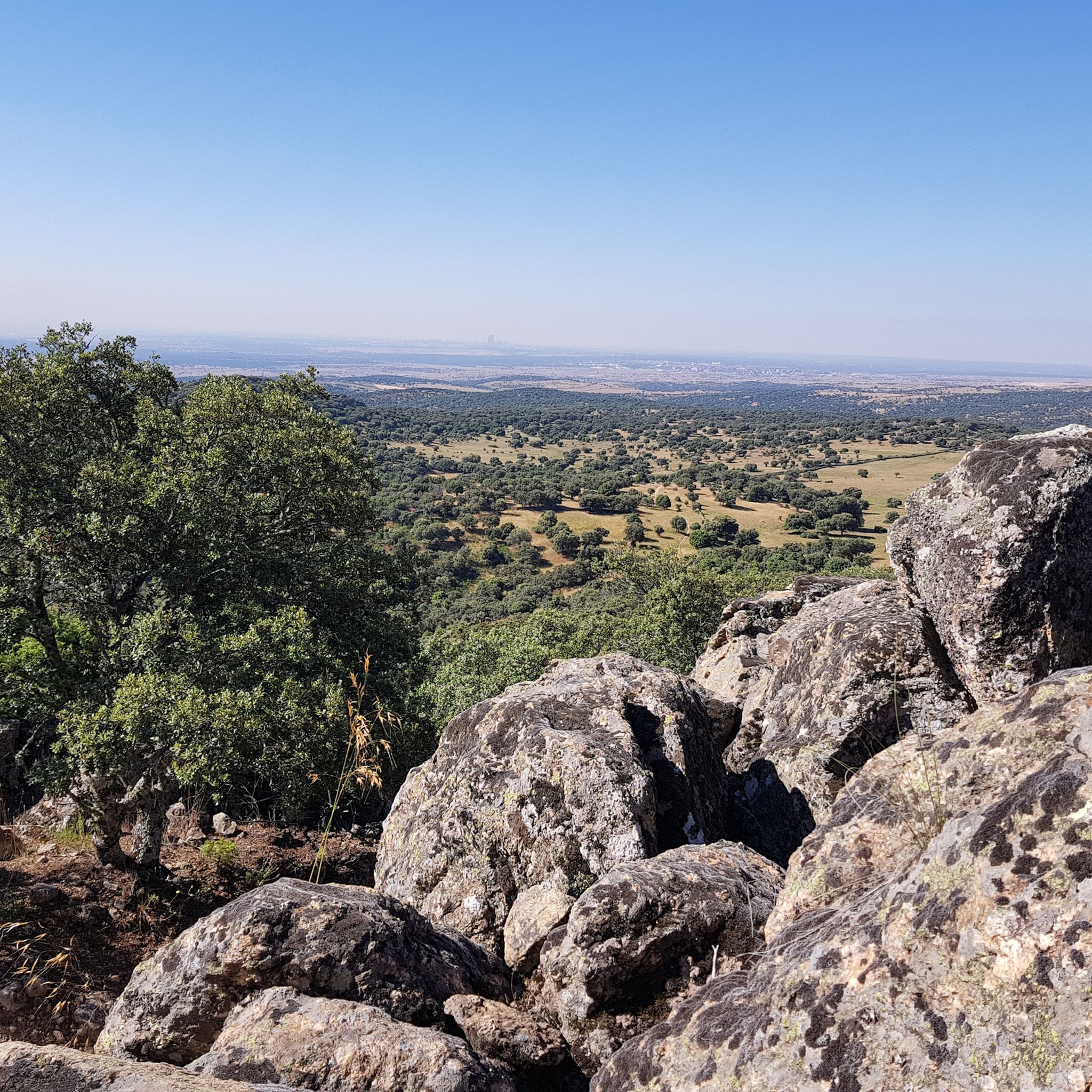
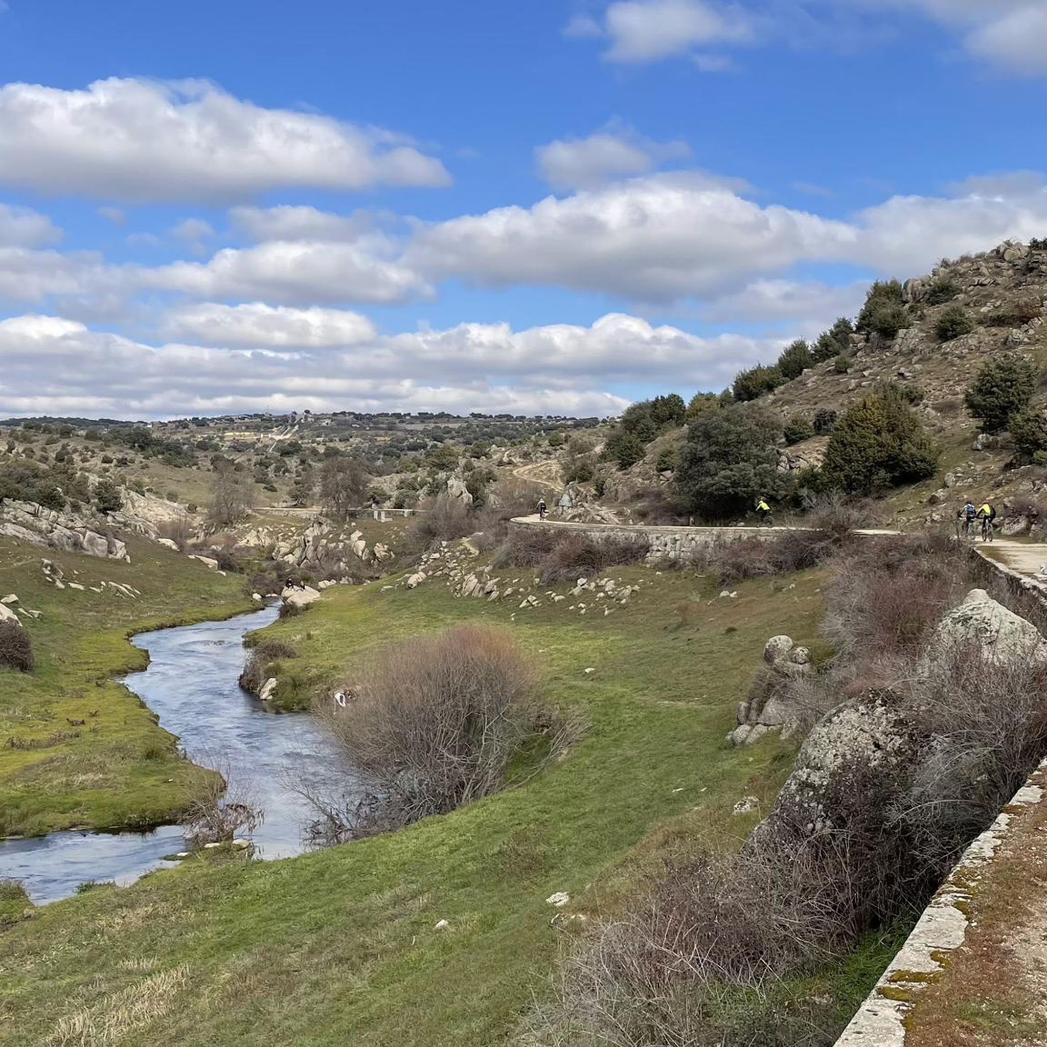


Other adventures around Colmenar Viejo

Tips from the Community

Nice views of the Manzanares River from the Marmota bridge
0
0
Descent to the Marmota bridge is quite technical, both uphill and downhill.
1
0

Stone bridge over the Manzanares River between Colmenar Viejo and Hoyo de Manzanares. Several hiking routes start from this place.
0
0
Although tradition attributes it a Roman origin, the bridge was built in the Middle Ages. It takes its name from an old fulling mill upstream, although in the 16th century it also began to be known as the New Bridge. It probably received this name after some remodelling, following a possible flood. A branch of the Cañada Real Segoviana, a livestock route of approximately 500 km, which links the current provinces of Burgos and Badajoz, passes over the Batán bridge.
1
0

Route along a very marked path passing through a stream with stones, seeing the Batán and Grajal bridges ending at the Colmenar Viejo train station.
3
0

Beautiful environment, although if you go gravel you will surely have to set foot on the ground two or three times to reach it.
1
0

Area to practice technique near Tres Cantos
0
0
Frequently Asked Questions
How many hiking trails are available in Colmenar Viejo?
Colmenar Viejo offers a wide variety of hiking experiences, with over 50 routes documented on komoot. These range from easy strolls to challenging treks, catering to all fitness levels.
What types of terrain can I expect on the hiking trails around Colmenar Viejo?
The terrain in Colmenar Viejo is quite diverse. You'll find extensive grasslands, areas shaped by traditional granite mining, and sections with small hills, rocks, and roots. Some routes, especially those in the Sierra de Guadarrama foothills, can feature steep sections.
Are there any family-friendly hiking options in Colmenar Viejo?
Yes, Colmenar Viejo has several easy trails suitable for families. The municipality has developed eight ecological routes, many of which can be adapted for shorter, less strenuous walks. The area around the Hervidero Waterfall, with its small lake, is also a popular spot for families.
Can I bring my dog on the hiking trails?
Many trails in Colmenar Viejo are dog-friendly, especially those within the Dehesa de Navalvillar and other natural areas. However, it's always recommended to keep dogs on a leash, especially in protected areas like the Regional Park of the Upper Manzanares Basin, to protect local wildlife and livestock.
What natural landmarks or points of interest can I see while hiking?
Hikers can discover several natural and historical landmarks. You might encounter the tranquil Pedrezuela Reservoir, the historic Batán Bridge, or the charming Hervidero Waterfall. The majestic Sierra de Guadarrama provides a stunning backdrop, and you can enjoy panoramic views from the Valdeliganar Viewpoint. Other notable features include the Alto del Cerro de San Pedro and unique rock formations like El Elefantito.
Are there circular hiking routes in Colmenar Viejo?
Yes, many of the trails in Colmenar Viejo are designed as circular routes, offering varied scenery without retracing your steps. Examples include the Marmot Bridge – Grajal Bridge loop from Presa del Grajal and the Grajal Bridge – Batán Bridge loop from Presa del Grajal.
What is the best time of year to go hiking in Colmenar Viejo?
Colmenar Viejo offers pleasant hiking conditions for much of the year. Spring and autumn generally provide mild temperatures and beautiful scenery. Summers can be hot, so early morning or late afternoon hikes are advisable, while winters are typically cooler but still suitable for hiking, especially on sunny days.
Is parking available at trailheads in Colmenar Viejo?
Parking is generally available near popular trailheads and within the town of Colmenar Viejo. Specific parking information can often be found on individual route descriptions or local tourism resources.
Can I reach hiking trails in Colmenar Viejo using public transport?
Colmenar Viejo is accessible by public transport from Madrid, and local bus services may connect to areas closer to some trailheads. It's advisable to check local bus schedules and routes for specific access points to the hiking areas.
Do I need any permits to hike in Colmenar Viejo?
Generally, no specific permits are required for hiking on the established trails in Colmenar Viejo. However, a significant portion of the territory is within the Regional Park of the Upper Manzanares Basin, a protected area, so always adhere to local regulations regarding nature conservation.
What do other hikers say about the trails in Colmenar Viejo?
The hiking trails in Colmenar Viejo are highly regarded by the komoot community, with an average rating of 4.4 stars from over 400 reviews. Hikers frequently praise the diverse landscapes, the well-maintained paths, and the opportunity to explore both natural beauty and historical sites.
Are there any challenging hikes for experienced trekkers?
Yes, for those seeking a greater challenge, Colmenar Viejo offers routes with more significant elevation changes and varied terrain. An example is the From Colmenar Viejo to the Mirador de Valdelaganar - circular via the Río Manzanares, which demands very good fitness.
Most popular routes around Colmenar Viejo
Most popular attractions around Colmenar Viejo

Get inspired with the komoot mobile app


Explore more
Browse the best Hikes in other regions.
