The best running trails around Chapinería
5.0
(5)
175
runners
17
runs
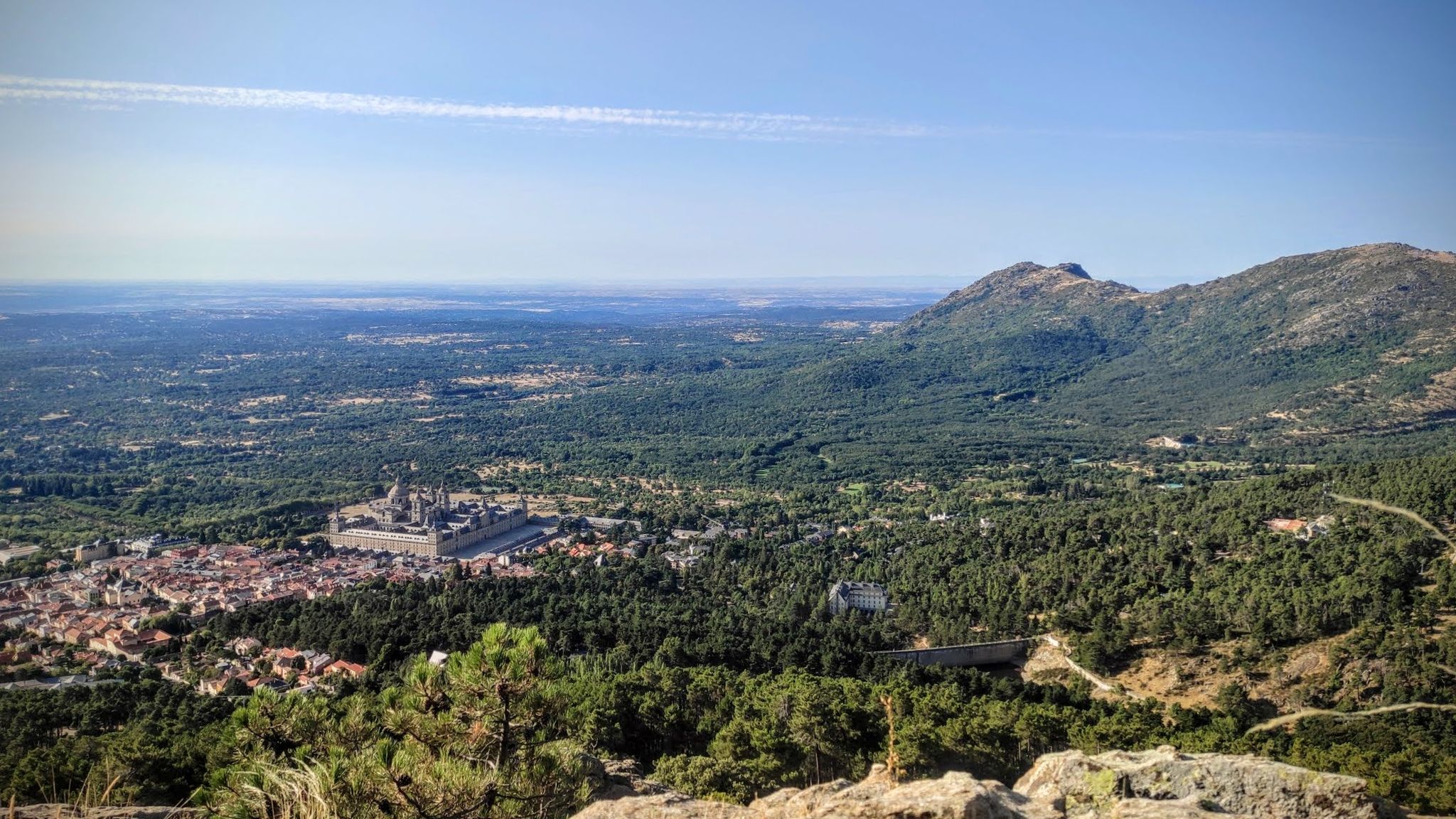
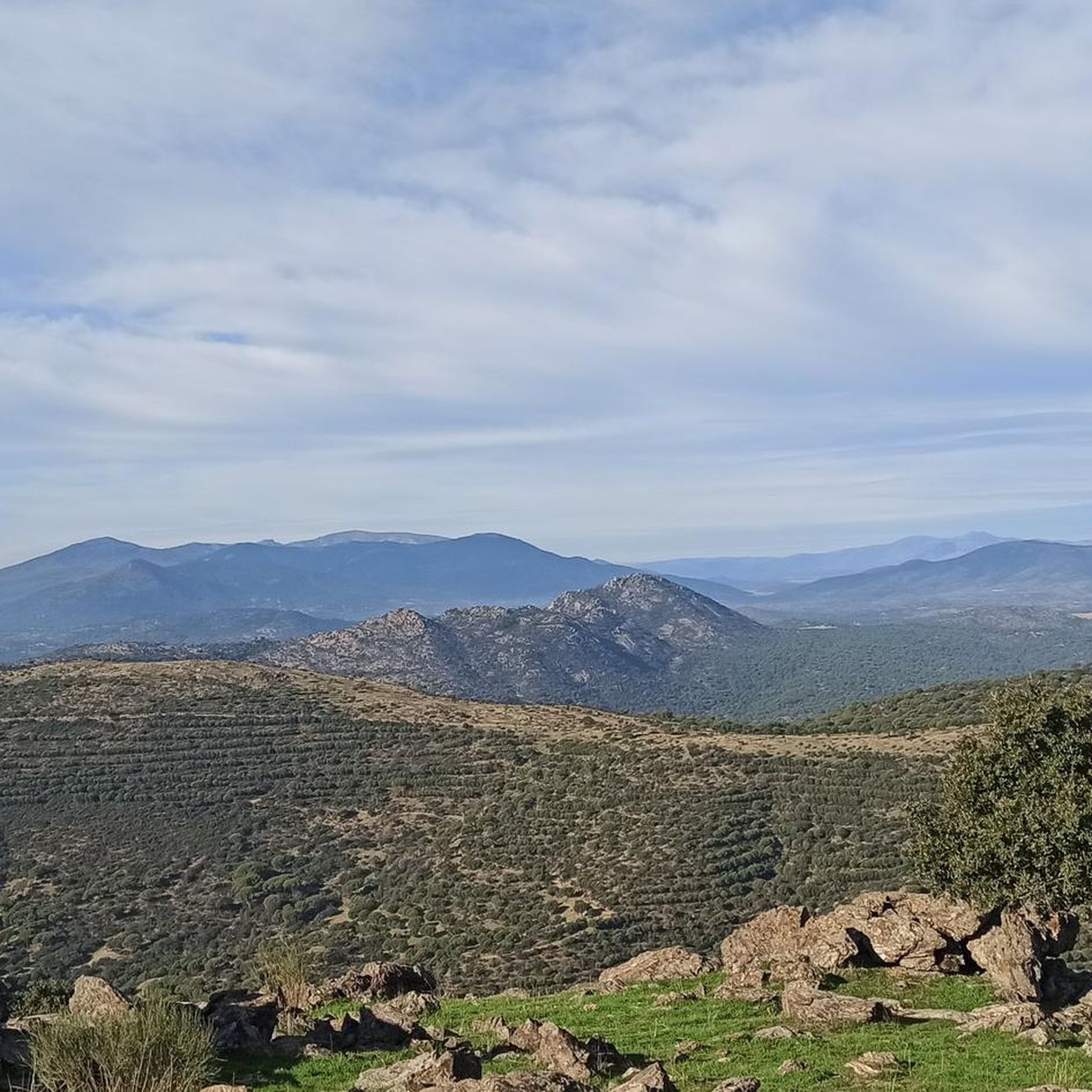
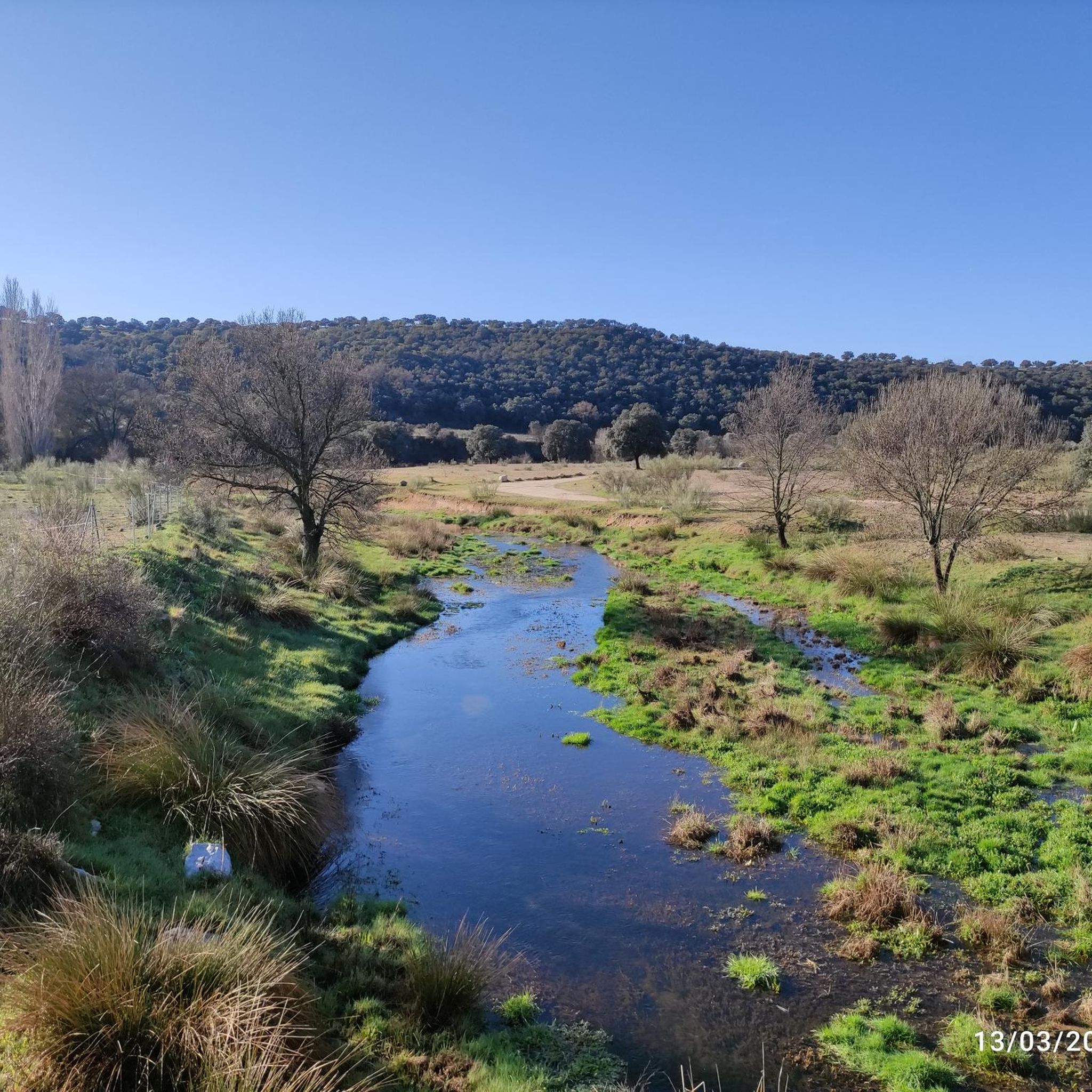
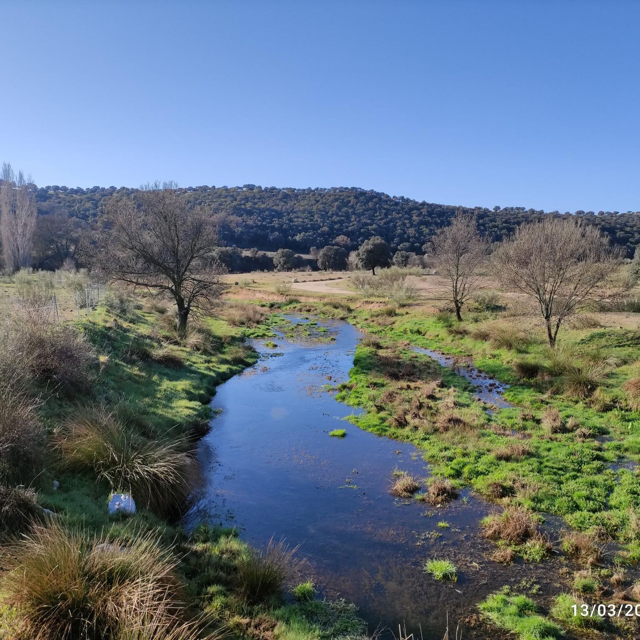
Jogging routes around Chapinería traverse a landscape characterized by granite formations and extensive holm oak forests. The municipality's terrain includes significant geological features like the Cárcavas del Río Perales, formed by erosion on steep slopes. A network of streams and ravines, such as Arroyo de la Oncalada, contributes to varied inclines and scenic routes. These natural elements provide a diverse environment for running, from shaded forest paths to routes along waterways.
Best jogging routes around Chapinería
- The most popular jogging…
Last updated: June 27, 2026
32
runners
7.76km
00:50
70m
70m
Moderate run. Good fitness required. Mostly paved surfaces. Suitable for all skill levels.
5.0
(1)
9
runners
7.19km
00:48
70m
70m
Moderate run. Good fitness required. Mostly paved surfaces. Suitable for all skill levels.

Sign up for free
20
runners
10.7km
01:11
100m
100m
Moderate run. Good fitness required. Mostly paved surfaces. Suitable for all skill levels.
8
runners
9.95km
01:37
420m
420m
Hard run. Very good fitness required. Sure-footedness, sturdy shoes and alpine experience required.
5.0
(1)
4
runners
15.8km
01:50
420m
420m
Hard run. Very good fitness required. Sure-footedness, sturdy shoes and alpine experience required.
Get access to more routes and recommendations from other explorers.
Sign up for free
Already have an account?
Our route recommendations are based on thousands of hikes, rides, and runs completed by other people on komoot.
Start today with a free account
Your next adventure awaits.
Login or Signup

Other adventures around Chapinería

Tips from the Community

The Alberche River is one of the main watercourses in the Sierra Oeste of Madrid, shaping landscapes of great natural value. As it passes through the area, it creates wooded riverbanks, natural beaches, and spaces of great beauty, being a key element in the environment of the routes and an ideal place to enjoy nature.
0
0


The Navahonda hermitage exists as a result of an appearance of the Virgin of Navahonda in an oak tree, to a rancher from Robledo de Chavela, indicating the place of her burial. To get to the Ermita from Robledo de Chavela you must first climb the demanding peak of Navahonda and then descend its mountaineering technique.
0
1

This hermitage, with a date of construction, houses the image of the Virgin of Navahonda. This image was hidden in these mountains by the Segovians to protect it from the Muslims during their stay on the peninsula. Hidden for 400 years until 1113, the death of a count causes the disappearance of the Virgin in Oak lands. A farmer found her, and the town of Robledo then decided to worship her and build a hermitage with her name. The Segovians find out about this and leave for the town of Madrid with mules to recover their virgin. Legend has it that, however, when going to begin the path, the mules refuse to advance through the intercession of the virgin to stay in that place. Its year of construction is unknown, although it must be before the 19th century. XVI, since there is evidence of a visit to the temple of King Felipe II.
0
1

The Navahonda hermitage is a modest stone church from the 16th and 16th centuries. Legend has it that it was visited by King Philip II. The temple is located in the GR 10 as it passes through the municipality of Robledo de Chavela.
1
1
Along this section of the GR 10 the views towards the pasture south of Madrid are impressive. The trail runs through a very pleasant forest.
2
0

The top of La Almenara at 1259 meters above sea level is a unique panoramic point in the region of the Guadarrama River. From here you will have beautiful views of the entire Rio Coño valley and to the other side the Robledo de Chavela Space Observatory.
2
0

Its date of construction is unknown, but it is known that it was visited by Philip II, so it must have been built at the end of the 16th century. In 1644 the Brotherhood of Navahonda was founded and, just one year later, José Strata, Lord of Robledo de Chavela, creates the Chaplaincy of the Assumption of the Virgin of Robledo.
6
1
Frequently Asked Questions
How many running routes can I find around Chapinería?
Komoot offers a selection of 16 diverse running routes around Chapinería. These range from easy paths to more challenging trails, ensuring options for various fitness levels.
What kind of terrain and natural features can I expect on the jogging routes in Chapinería?
Chapinería's running routes are characterized by its unique granite formations and extensive holm oak forests, many of which are part of the traditional 'dehesa' agroforestry system. You'll encounter varied terrain, including geological features like the Cárcavas del Río Perales, and paths along streams and ravines such as Arroyo de la Oncalada. These elements provide a diverse and scenic environment for your run.
Are there easy running routes suitable for beginners or a relaxed jog?
Yes, Chapinería offers easy running options. For instance, the Running loop from Urb. Calalberche - Arroyo Virvi is an easy 2.5 miles (4.1 km) route with minimal elevation gain, perfect for a gentle run or for those new to jogging in the area.
What do other runners enjoy most about the trails in Chapinería?
The running routes in Chapinería are highly rated by the komoot community, with an average score of 5.0 stars from more than 4 reviews. Runners often praise the varied terrain, the beautiful holm oak forests, and the scenic views, particularly along the Alberche River.
Are there any circular running routes in Chapinería?
Yes, many of the running routes in Chapinería are circular, allowing you to start and end at the same point. Examples include the popular Río Alberche loop from Cerro del Cubo and the Running loop from Villamantilla, both offering a complete circuit through the local landscape.
What landmarks or points of interest can I see along the running routes?
While jogging, you can encounter several interesting points. The Alberche Greenway, following an old railway line, offers picturesque views, especially near the Picadas Reservoir. Other routes might lead you past the Navahonda Hermitage or offer glimpses of the unique granite formations scattered throughout the municipality.
Are there any challenging running routes for experienced runners?
For experienced runners seeking a challenge, Chapinería offers more difficult routes. The Mirador Embalse de San Juan loop from San Juan is a difficult 9.8 miles (15.8 km) trail with significant elevation gain, providing a demanding workout and rewarding views.
Is Chapinería accessible by public transport for runners?
Chapinería is approximately 50 kilometers from Madrid, making it an accessible escape. While specific public transport routes to trailheads might vary, the municipality itself is served by bus lines from Madrid, allowing access to the general area for your running adventures.
Are the running routes in Chapinería suitable for families?
Many of Chapinería's routes, especially the easier and moderate ones, are suitable for families looking to enjoy the outdoors together. The extensive holm oak forests provide shaded paths, and the varied terrain offers engaging scenery for all ages. Consider routes with less elevation for younger family members.
Can I bring my dog on the running trails in Chapinería?
Chapinería's natural environment, with its extensive holm oak forests and open spaces, is generally welcoming for dogs. However, it's always advisable to keep your dog on a leash, especially in areas with wildlife or near agricultural land, and to check local regulations for specific trails or protected areas.
When is the best time of year to go running in Chapinería?
Chapinería offers pleasant running conditions for much of the year. Spring and autumn provide mild temperatures and vibrant natural scenery, making them ideal. Even in summer, the holm oak forests offer welcome shade. Winters are generally mild, though some trails might be affected by rain, so checking local weather is always recommended.
Are there any routes that offer good viewpoints?
Yes, several routes provide excellent viewpoints. The region's granite formations and elevated areas offer panoramic vistas of the surrounding Sierra Oeste de Madrid. The Mirador Embalse de San Juan loop from San Juan, for example, is specifically named for its viewpoint over the San Juan Reservoir, offering spectacular scenery during your run.
Where can I find parking near the running trails?
While specific parking details for every trailhead are not always listed, Chapinería, as a municipality promoting outdoor activities, typically offers parking options within or near the village center. Many routes, being circular, often start from accessible points where parking is available, such as near the starting points of loops like the Río Alberche loop from Pelayos de la Presa.
Most popular attractions around Chapinería

Get inspired with the komoot mobile app


Explore more
Browse the best Running Trails & Routes in other regions.
