The best cycling routes around Tragacete
4.8
(6)
104
riders
16
rides
Touring cycling routes around Tragacete traverse a landscape characterized by the headwaters of major rivers like the Tagus and Cuervo, set within a mountainous environment. The region features significant elevation changes, with routes often climbing through forested areas and open mountain terrain. Gravel paths are common, providing varied surfaces for cycling.
Best touring cycling routes around Tragacete
- The most popular touring cycling route is Empty Mountains: Guadalaviar Loop, a 31.6 miles (50.9 km) trail that takes 4 hours 31…
Last updated: June 24, 2026
5.0
(2)
12
riders
50.9km
04:32
700m
700m
Cycle 31.6 miles (50.9 km) through Spain's remote Empty Mountains, exploring the Tajo River source and diverse landscapes.
5.0
(2)
8
riders
62.3km
04:47
750m
750m
This difficult 38.7-mile touring cycling route around Embalse de la Toba offers stunning reservoir views and challenging terrain.

Sign up for free
4.0
(1)
2
riders
Moderate bike ride. Good fitness required. Mostly paved surfaces. Suitable for all skill levels.
5.0
(1)
4
riders
41.8km
02:55
780m
780m
This difficult 26.0-mile touring cycling route through Parque Natural de la Serranía de Cuenca offers stunning views and a challenging climb
1
riders
25.9km
02:12
550m
550m
Hard bike ride. Very good fitness required. Mostly paved surfaces. Suitable for all skill levels.
Get access to more routes and recommendations from other explorers.
Sign up for free
Already have an account?
Our route recommendations are based on thousands of hikes, rides, and runs completed by other people on komoot.
Start today with a free account
Your next adventure awaits.
Login or Signup

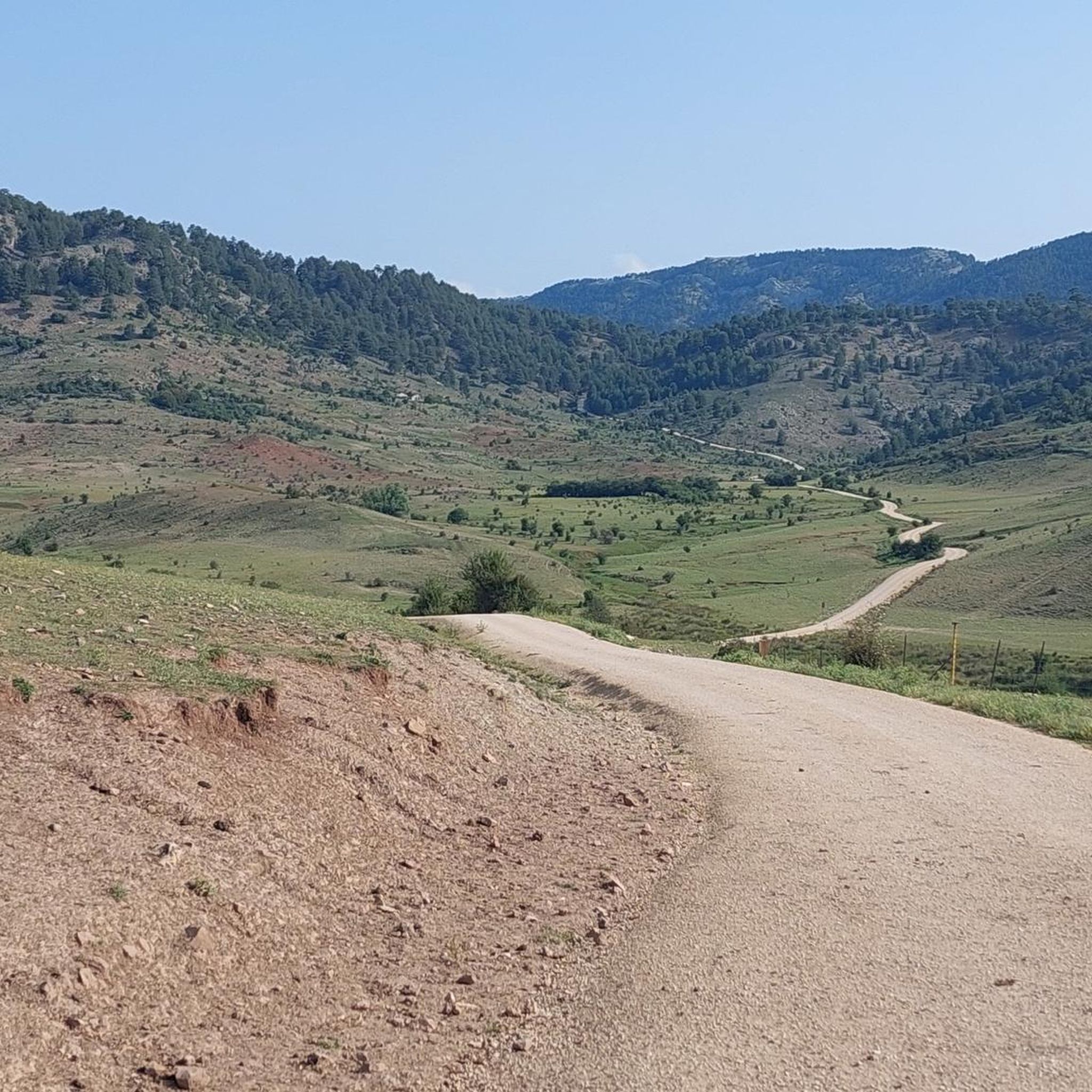
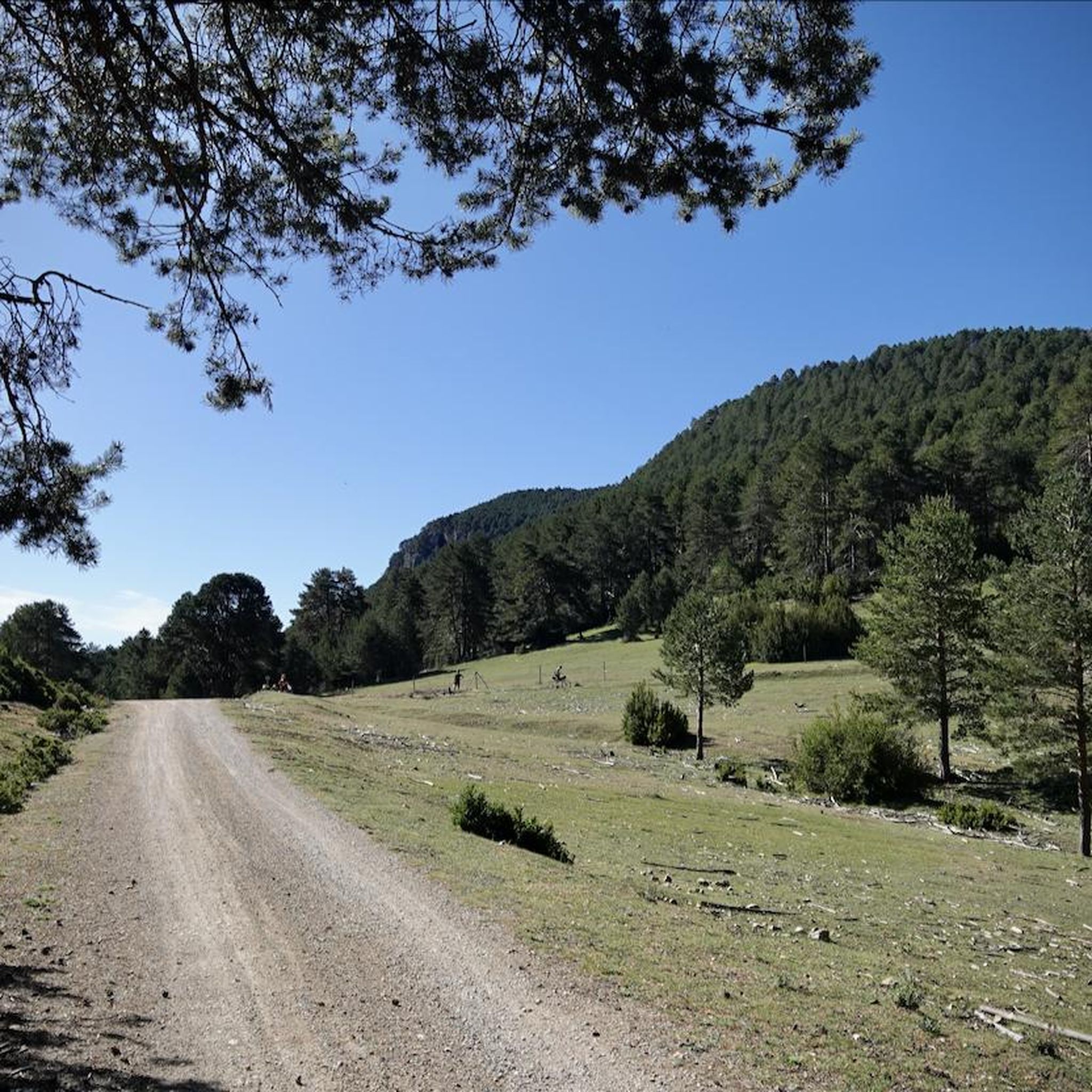
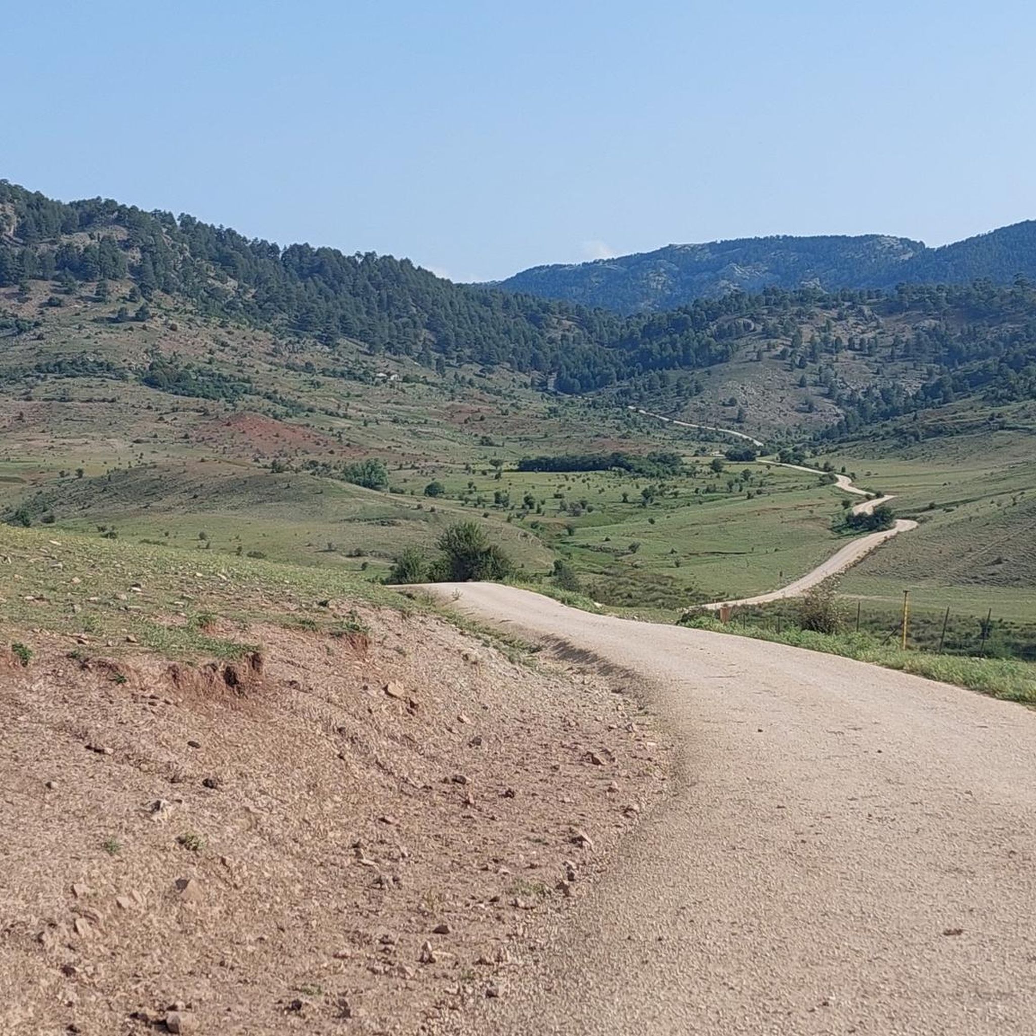
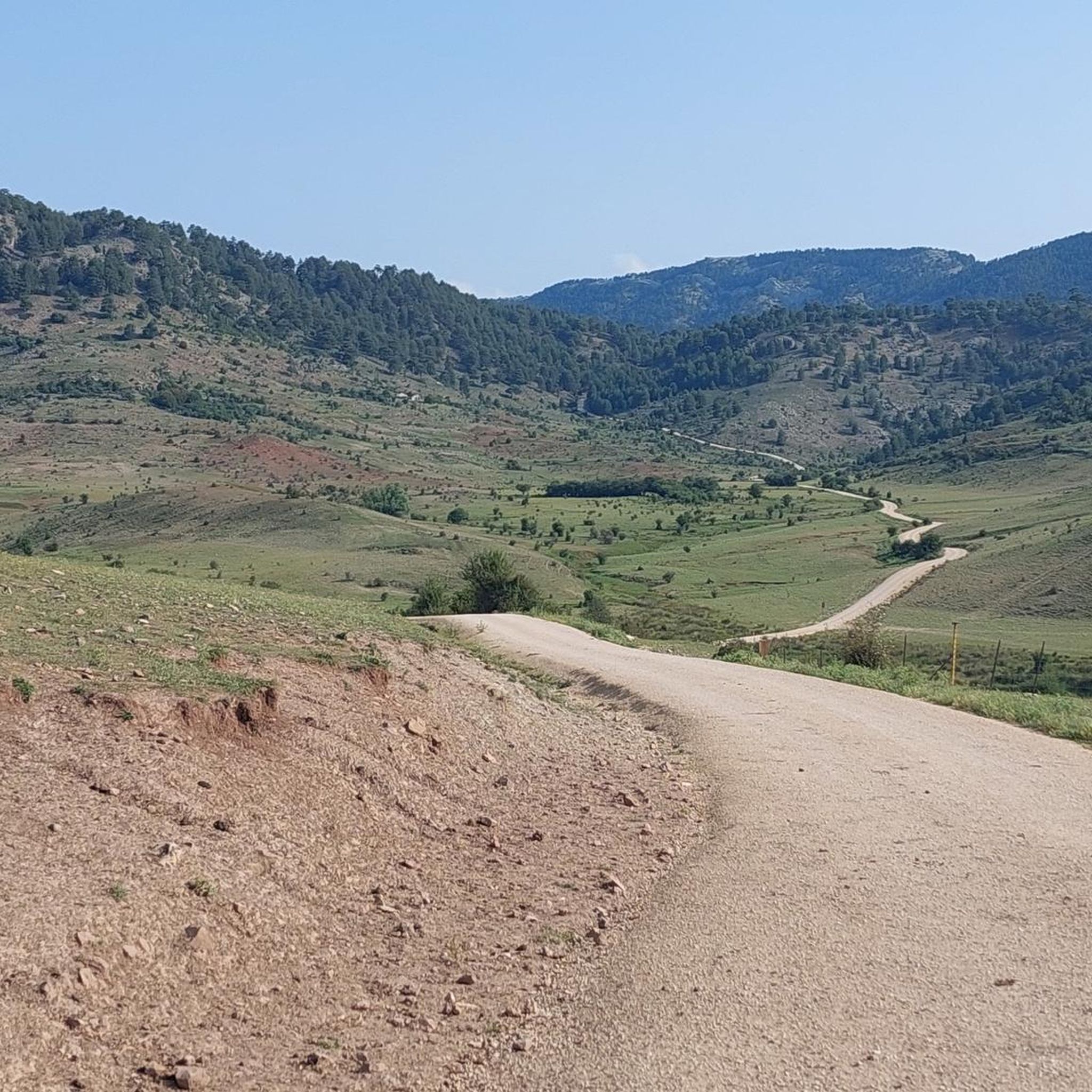

Other adventures around Tragacete

Tips from the Community

The Jucar River is approximately 500 km long and flows from the Montes Universales to Cullera, where it flows into the Gulf of Valencia.
4
0

Refuge in perfect condition for spending a night, it had four bunk beds, a fireplace area, and a small stable.
0
0

This is one of the attractions of the mountains, offering a natural spectacle as we observe the significant source of the Cuervo River. The area also offers parking, rest areas, and several bars and restaurants for lunch.
8
0
Here we find some informational signs about the spring of the famous Cuervo River. In this area, there are ample parking and shaded areas where you can rest.
8
0
We are at the entrance to the source of the Cuervo River, where there are shaded areas and open spaces for parking, as well as stone tables for lunch if we wish.
9
0

The official source of water is located at Fuente de García, in the Montes Universales, within the municipality of Frías de Albarracín (Teruel). It is located at an altitude of approximately 1,590 meters, surrounded by pine forests and high mountain meadows. Access is very easy and well signposted. Take the A-1704 highway, which connects Frías de Albarracín with Huélamo (Cuenca). From the highway, a paved detour of approximately 2 km takes you directly to the recreational area and the monument. There is free parking next to the monument.
10
0
Access is very easy and well signposted. Take the A-1704 highway, which connects Frías de Albarracín with Huélamo (Cuenca). From the highway, a paved detour of approximately 2 km takes you directly to the recreational area and the monument. There is free parking next to the monument.
5
0
The official source is located at Fuente de García, in the Montes Universales, within the municipality of Frías de Albarracín (Teruel). It is located at an altitude of approximately 1,590 meters, surrounded by pine forests and high mountain meadows.
5
0
Frequently Asked Questions
How many touring cycling routes are available around Tragacete?
There are over 15 touring cycling routes around Tragacete, offering a variety of experiences through the mountainous terrain and river valleys.
What is the typical terrain like for touring cycling in Tragacete?
The terrain around Tragacete is predominantly mountainous, featuring significant elevation changes. You'll encounter a mix of forested areas, open mountain landscapes, and common gravel paths, providing a varied surface for touring cyclists.
Are there any circular touring cycling routes in Tragacete?
Yes, there are several circular routes. A notable one is the Puente de las Tres Provincias — circular gravel from the Nacimiento del Río Tajo, which is a moderate 19.1-mile (30.7 km) trail.
What kind of distances and elevations can I expect on these routes?
Routes vary significantly. For example, the Empty Mountains: Guadalaviar Loop covers 31.6 miles (50.9 km) with over 700 meters of elevation gain, while the El Cubillo - El Portillo Trail is 41.8 miles (67.3 km) with over 775 meters of ascent.
Are there any family-friendly or beginner touring cycling routes?
While many routes in Tragacete are rated moderate to difficult due to the mountainous terrain and elevation changes, the Puente de las Tres Provincias — circular gravel from the Nacimiento del Río Tajo is a moderate option that might be suitable for families or beginners looking for a challenge, offering a shorter distance and less extreme elevation compared to the more difficult trails.
What natural attractions can I see along the touring cycling routes?
The region is rich in natural beauty. You can visit the Source of the Cuervo River, the stunning Cuervo River Waterfall, or the Source of the River Tagus. Many routes also offer panoramic views, such as the View of the Serranía de Cuenca.
Are there any challenging routes for experienced touring cyclists?
Absolutely. The majority of routes in Tragacete are rated difficult. The Empty Mountains Route, for instance, is a difficult 38.7-mile (62.3 km) path exploring expansive, remote mountain landscapes with significant climbs and descents.
What is the best time of year for touring cycling in Tragacete?
Given the mountainous environment, spring and autumn generally offer the most pleasant conditions for touring cycling in Tragacete, with milder temperatures and beautiful scenery. Summers can be hot, and winters may bring colder weather and snow at higher elevations.
Where can I find parking for touring bike trails in Tragacete?
Tragacete itself serves as a good starting point for many routes, and you can often find parking within the village. For routes starting from specific natural sites like the Nacimiento del Río Cuervo, dedicated parking areas are usually available nearby.
What do other touring cyclists enjoy most about cycling in Tragacete?
The area is highly rated by the komoot community, with an average score of 4.8 stars from 7 reviews. Cyclists often praise the challenging mountainous terrain, the remote 'empty mountains' feel, and the stunning natural landmarks like the sources of the Tagus and Cuervo rivers.
Are there any routes that pass by waterfalls?
Yes, several routes offer access to beautiful waterfalls. The Nacimiento del río Cuervo — circular desde Tragacete route will bring you close to the famous Cuervo River Waterfall and the Molino Waterfall.
Can I find places to eat or drink along the touring cycling routes?
While some routes traverse remote areas, you'll find amenities in villages like Tragacete. It's advisable to carry sufficient water and snacks, especially on longer routes, as cafes might not be directly on every trail. The Refugio de la Alconera could be a point of interest for a break on some routes.
Most popular attractions around Tragacete

Get inspired with the komoot mobile app


Explore more
Browse the best Cycling routes in other regions.
