The best walks and hikes around Es Castell
4.3
(245)
1,609
hikers
40
hikes
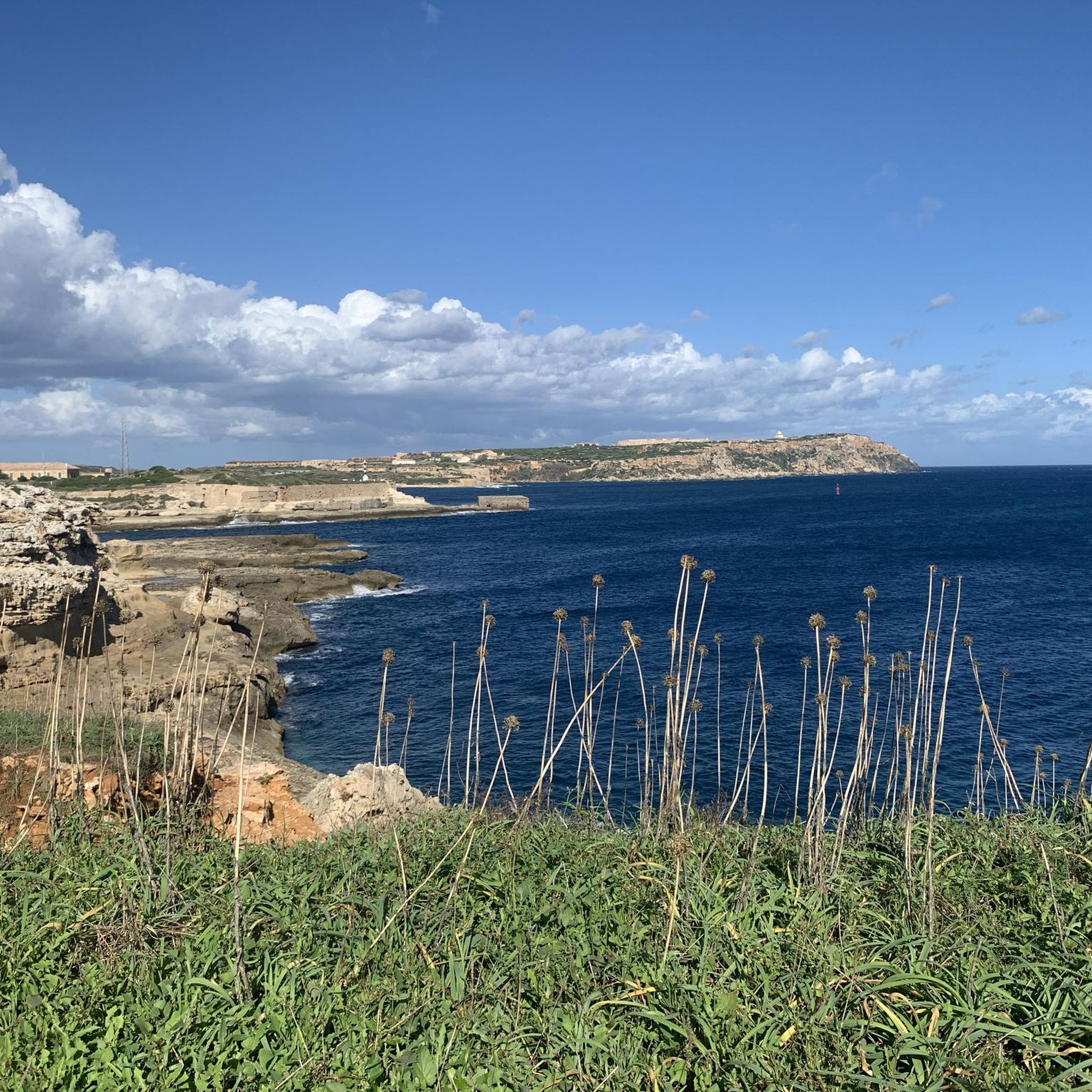
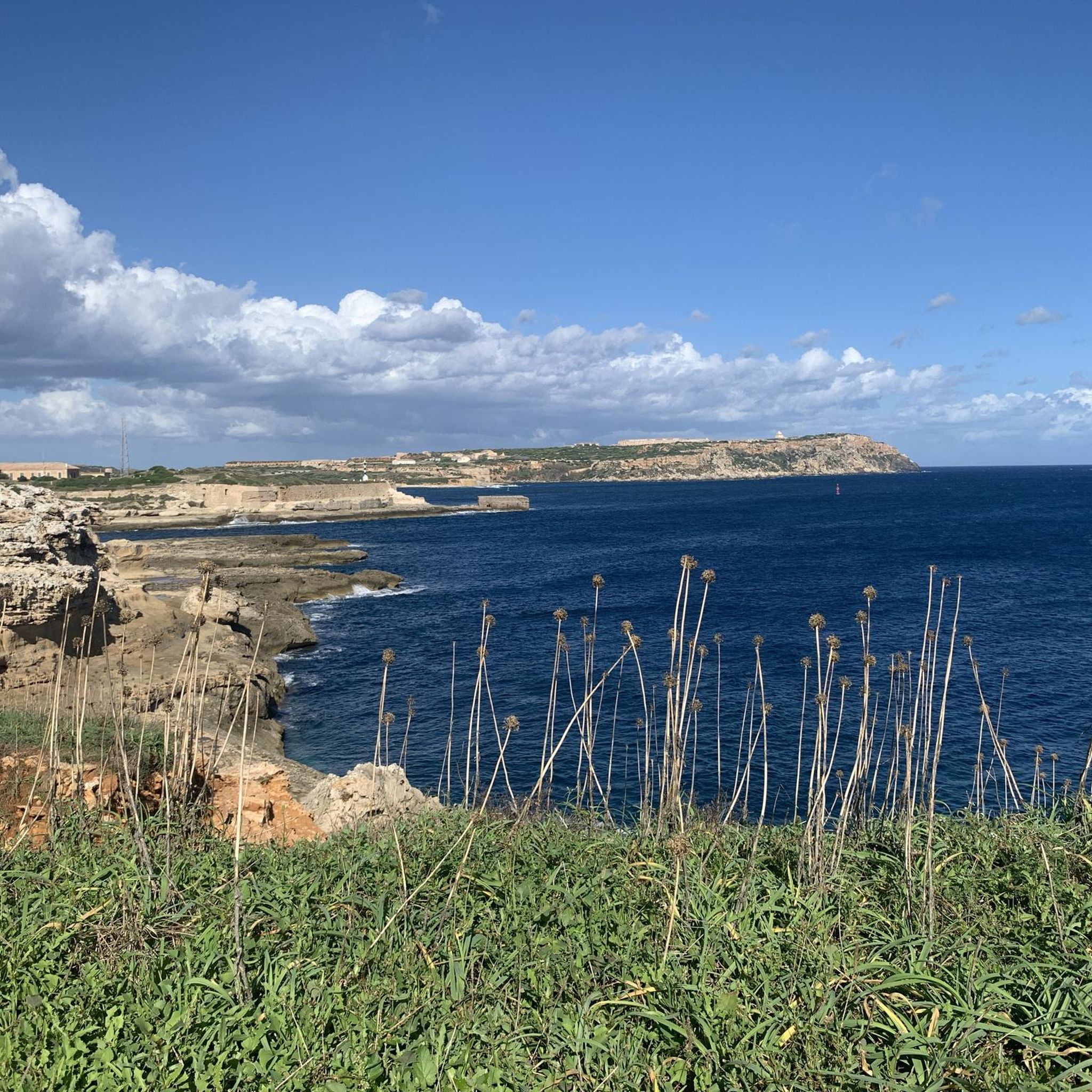
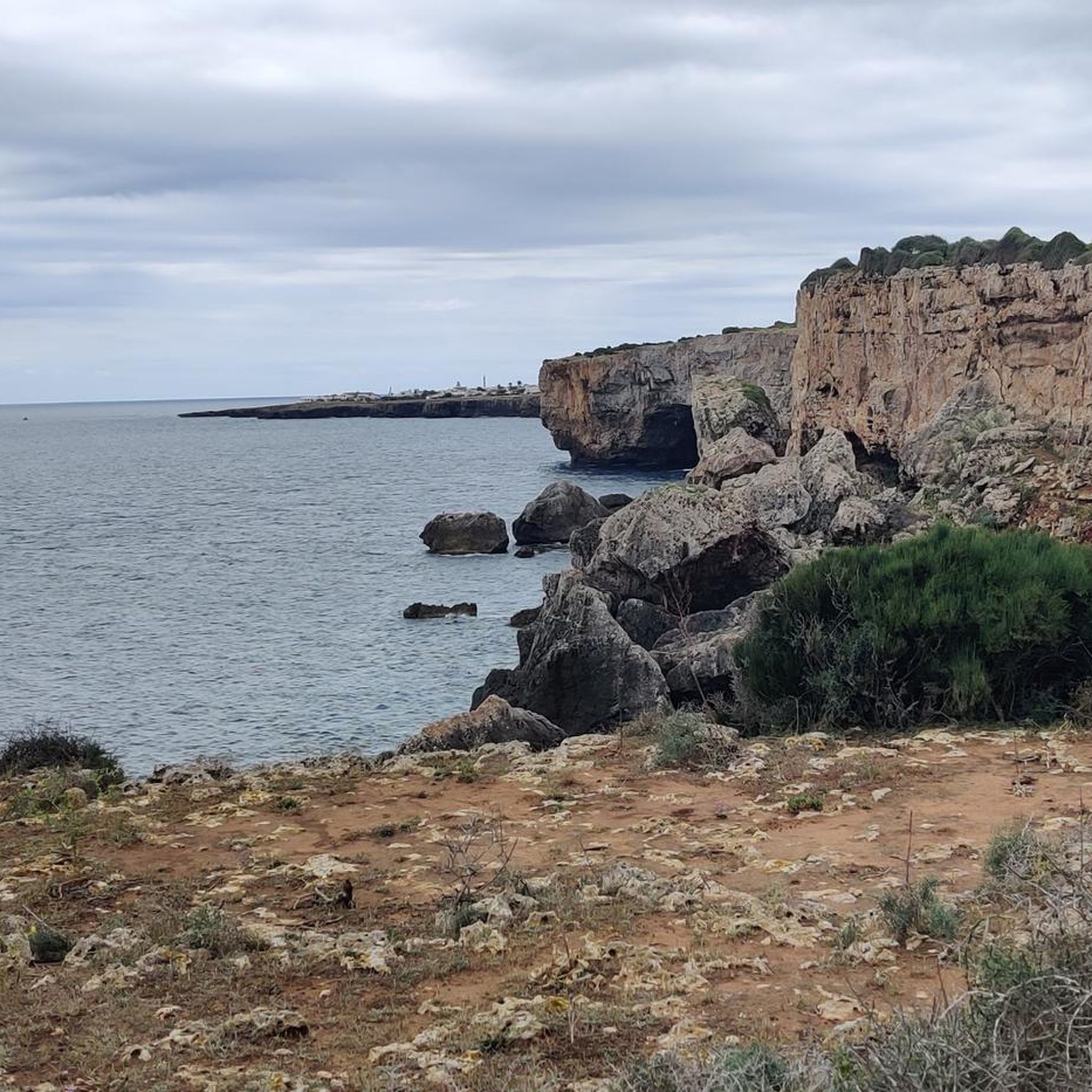
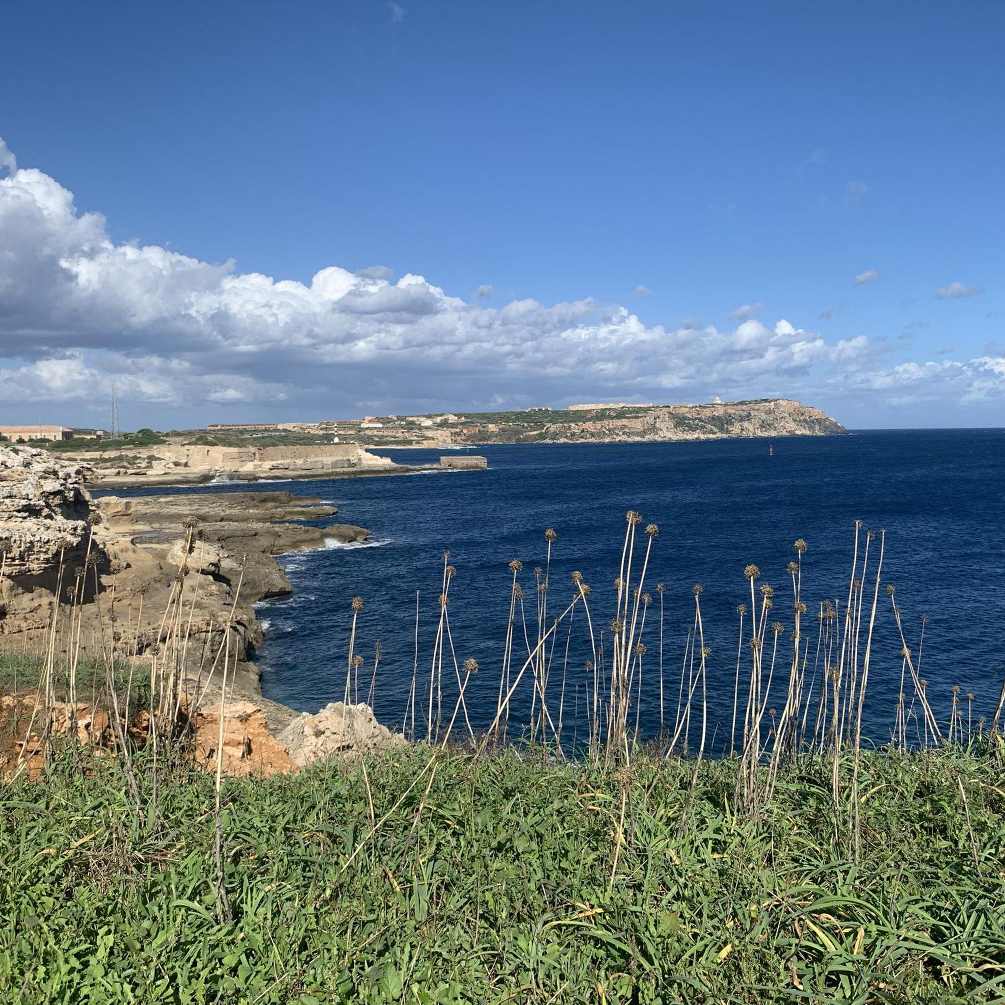
Hiking around Es Castell offers diverse landscapes, from coastal paths with dramatic cliffs and views of Mahón Harbour to rural hinterland characterized by dry stone paths and olive groves. The region's terrain includes both gentle strolls and routes with moderate elevation changes. Hikers can experience contrasting natural features such as the Barranc de Rafalet and the wild Cala de Rafalet, alongside historical sites.
Best hiking trails around Es Castell
- The most popular hiking route is Maó (Mahón) Old Town and Harbor – Old Town of Mahón loop from Maó, a 6.8 miles (10.9 km) trail that takes 2 hours 55 minutes to complete. This route provides views of Mahón's historic old town and its natural harbor.
- Another top favourite among local hikers is Cala San Esteban – Fisherman's Hut loop from es Castell, a moderate 4.8 miles (7.8 km) path. This trail explores coastal areas and passes by traditional fisherman's huts.
- Local hikers also love the Es Castell Windmill loop from es Castell, a 7.0 miles (11.3 km) trail leading through rural landscapes and past a windmill, often completed in about 2 hours 54 minutes.
- Hiking around Es Castell is defined by coastal paths, rural hinterland, and historical sites, with options for different ability levels.
- The routes in Es Castell are highly rated by the komoot community with an average score of 4.6 stars from more than 250 reviews. More than 1,500 hikers have used komoot to explore Es Castell's varied terrain.
Last updated: October 12, 2026
4.7
(15)
85
hikers
23.7km
06:11
180m
180m
Hard hike. Very good fitness required. Easily-accessible paths. Suitable for all skill levels.
3.4
(7)
43
hikers
7.96km
02:07
80m
80m
Moderate hike. Good fitness required. Mostly accessible paths. Sure-footedness required.

4.3
(16)
36
hikers
11.3km
02:55
60m
60m
Moderate hike. Good fitness required. Easily-accessible paths. Suitable for all skill levels.
4.5
(8)
26
hikers
6.18km
01:38
50m
50m
Easy hike. Great for any fitness level. Easily-accessible paths. Suitable for all skill levels.
4.8
(9)
45
hikers
11.9km
03:09
100m
100m
Moderate hike. Good fitness required. Mostly accessible paths. Sure-footedness required.
Get access to more routes and recommendations from other explorers.
Already have an account?
Our route recommendations are based on thousands of hikes, rides, and runs completed by other people on komoot.
Start today with a free account
Your next adventure awaits.
Tips from the Community

A refreshing drink at BasicoS at the end of the hike
0
0


This square has up to three names: Plaça Menorca, de Joan Ferrer i Franch or del Mirador. The town takes its name from the castle of Sant Felip, near which the primitive nucleus was located. The fortress was ordered to be built in response to the Turkish danger, after Khair ed-Din Barbarossa attacked Maó in 1535, in retaliation for the conquest of Tunis (the corsair's lair) by Emperor Charles V a few months earlier. In 1558, the castle's fortifications were already artillery and it was possible to repel an Ottoman attack. This encouraged many Maó residents to seek refuge near the castle walls and end up forming a permanent inhabited nucleus that grew over the years and was known as s'Arraval de sant Felip. It should be remembered that s Castell, as also happens with Sant Climent and Sant Lluís, has a fully planned urban origin, based on a military engineering concept. From the second half of the 20th century onwards, urban development has not taken place like in the rest of the island's towns, in a radial manner around the original nucleus, but rather by forming amoeboid satellite areas. At any point in the large square we can use texts by Àngel Ruiz i Pablo, by Josep Pin i Soler that describe a town quite different from the one we have today, and two fragments of Manuel Cuyàs's memoirs that reflect the environment he lived in while doing his military service there.
0
0

The central talayot is one of the largest on the island
5
0

Definitely worth a visit
3
0

The village was home to generations of peasant families who based their economy on the control of flocks of goats, sheep, cows and pigs, complemented by the cultivation of cereals and legumes. Towards the 5th century BC, transformations took place in the Talayotic society, possibly related to the exchange of products and knowledge with the Carthaginian world, mainly through ships from the Punic colony of Ibiza. The original structure of the village was altered in 1781, when the Duke of Crillón established his military camp there during the siege of the Castle of San Felipe by Franco-Spanish troops, which was defended by the English army.
3
0
The great talayot, with a base measuring 26 metres in diameter, is one of the largest in the Balearic Islands. Through various archaeological interventions, it has been determined that the chronology of the settlement spans from the beginning of the Talayotic period (1200 BC) to the 3rd century BC, when it was violently destroyed and abandoned during the Second Punic War between the Romans and the Carthaginians. Some spaces continued to be used in the Andalusian period (902-1287).
3
0
Frequently Asked Questions
What kind of terrain can I expect on hikes around Es Castell?
Hiking around Es Castell offers a diverse mix of landscapes. You'll find coastal paths with dramatic cliffs and views of Mahón Harbour, as well as rural hinterland characterized by enchanting dry stone paths, gnarled olive trees, and picturesque bush and pasture landscapes. Some routes feature significant elevation changes, while others are gentle strolls. Expect to encounter both adventurous areas like the Barranc de Rafalet and the wildly romantic Cala de Rafalet.
Are there easy hiking trails suitable for beginners in Es Castell?
Yes, Es Castell offers several easy hiking options perfect for beginners or those looking for a relaxed stroll. For instance, the Cala Predera – View of Cales Fonts Harbor loop from es Castell is an easy 6.1 km (3.8 miles) route that provides pleasant views without significant difficulty. Overall, there are over 19 easy routes in the area.
Can I find family-friendly hiking routes in Es Castell?
Many of the easier routes around Es Castell are suitable for families. The diverse scenery, including coastal views and rural paths, can be engaging for children. Consider routes that are shorter in duration and have less elevation gain. The area's natural beauty and historical sites offer plenty to explore for all ages.
Are dogs allowed on hiking trails near Es Castell?
Menorca generally welcomes dogs on trails, but it's always best to keep them on a leash, especially in rural areas where livestock may be present, or in protected natural parks like s'Albufera des Grau. Always ensure you clean up after your dog to preserve the natural environment.
Are there circular hiking routes available in Es Castell?
Yes, many of the hiking routes around Es Castell are designed as loops, allowing you to start and end in the same location. Examples include the Cala San Esteban – Fisherman's Hut loop from es Castell, which is a moderate 7.8 km (4.8 miles) coastal path, and the Es Castell Windmill loop from es Castell, an 11.3 km (7.0 miles) trail through rural landscapes.
What historical sites or landmarks can I see while hiking in Es Castell?
The region is rich in history. You can encounter impressive Talayotic sites, such as the Talatí de Dalt Archaeological Site, which features ancient watchtowers and megalithic monuments. Coastal walks might lead you past historical landmarks like Torre de Alcaufar, a defensive tower, or offer views of the Isabel II Fortress / Mola Fortress.
Are there coastal walks with good views of Mahón Harbour?
Absolutely. Several routes provide stunning vistas of the coastline and the natural harbor of Mahón. The View of the Entrance to Mahón Harbour – View of Mahón Harbor loop from es Castell is an 8.3 km (5.2 miles) route specifically designed to showcase these picturesque outlooks. The walk from Es Castell to Mahón along the cliffs also offers great views over the port.
What is the best time of year to go hiking in Es Castell?
The shoulder seasons (spring and autumn) are generally ideal for hiking in Es Castell. During these times, the weather is pleasantly mild, and the landscapes are vibrant. Summer can be very hot, making early morning or late afternoon hikes preferable, while winter offers cooler temperatures but can be windier.
Is public transport available to reach hiking trailheads from Es Castell?
Es Castell is well-connected by local bus services, particularly to Mahón, which serves as a central hub. From Mahón, you can access various points around the island, including some trailheads for sections of the Camí de Cavalls or routes leading to natural parks. It's advisable to check local bus schedules for specific routes and timings.
Where can I park my car when starting a hike in Es Castell?
Es Castell has public parking areas, especially near its main squares and harbors (Cales Fonts and Cala Corb). For routes starting directly from the village, you can often find street parking or designated lots. For trails further afield, such as sections of the Camí de Cavalls, specific parking areas are usually signposted near popular access points.
Are there opportunities for wild swimming along hiking routes?
Yes, Menorca is known for its beautiful coves and beaches. Many coastal hiking routes, especially those along the Camí de Cavalls, pass by secluded bays and beaches where you can enjoy a refreshing swim. Always be mindful of local regulations and safety when swimming in natural areas.
What is the Camí de Cavalls and can I access it from Es Castell?
The Camí de Cavalls (GR 223) is a historic path that encircles the entire island of Menorca. This long-distance trail offers diverse landscapes and historical insights. While Es Castell itself is not directly on the main Camí de Cavalls route, you can easily access nearby sections of this iconic trail by walking or a short drive, allowing you to explore Menorca off the beaten track.
What natural parks or reserves are near Es Castell for hiking?
Less than a 20-minute drive from Es Castell is the Parc Natural de s'Albufera des Grau, Menorca's largest nature reserve. It encompasses nearly 5,000 hectares of diverse vegetation and is home to a rich variety of animals, birds, and plant species, making it an excellent destination for wildlife observation and exploring local biodiversity on foot.
Most popular attractions around Es Castell

Get inspired with the komoot mobile app


Explore more
Browse the best Hikes in other regions.
