The best running trails around Losar De La Vera
138
runners
30
runs
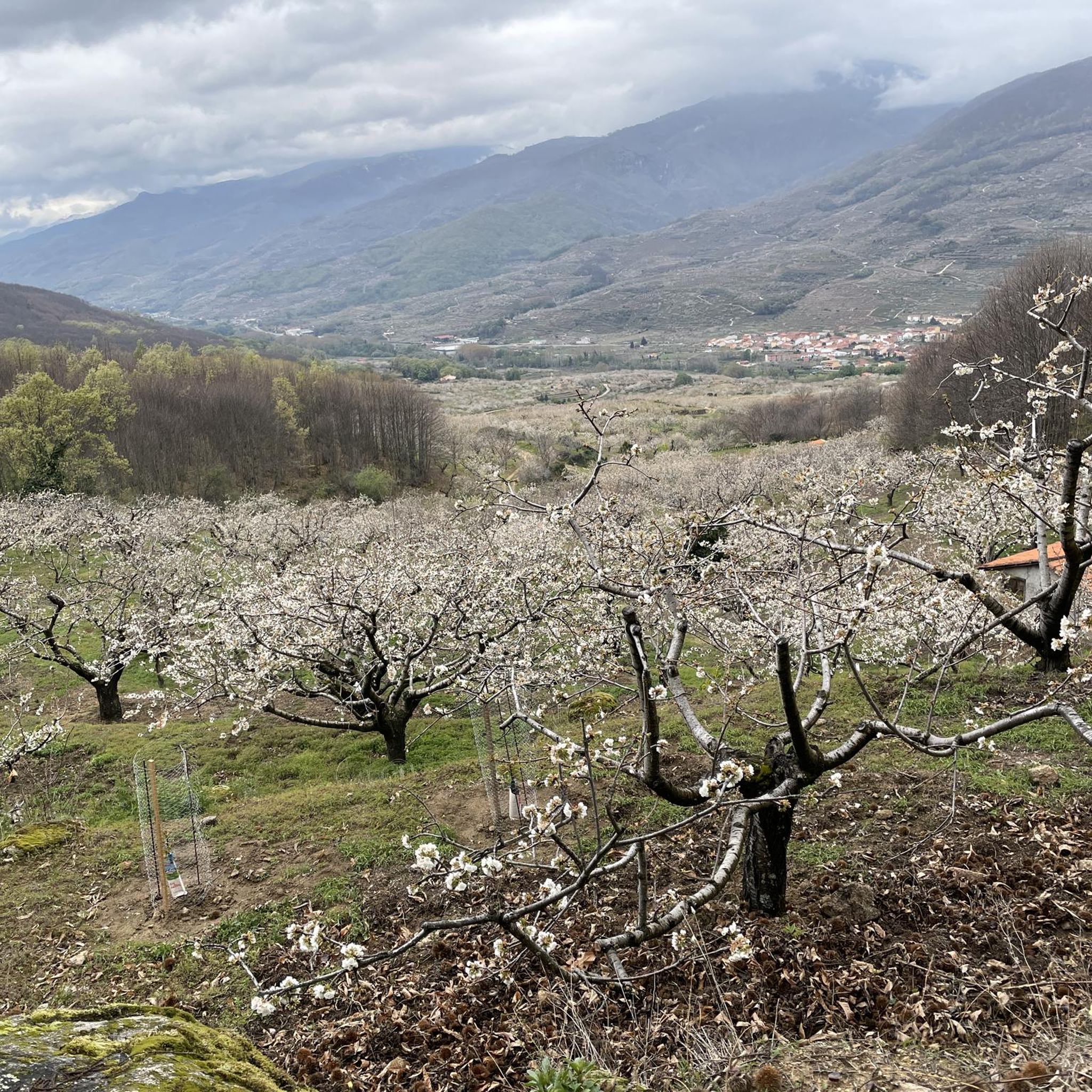
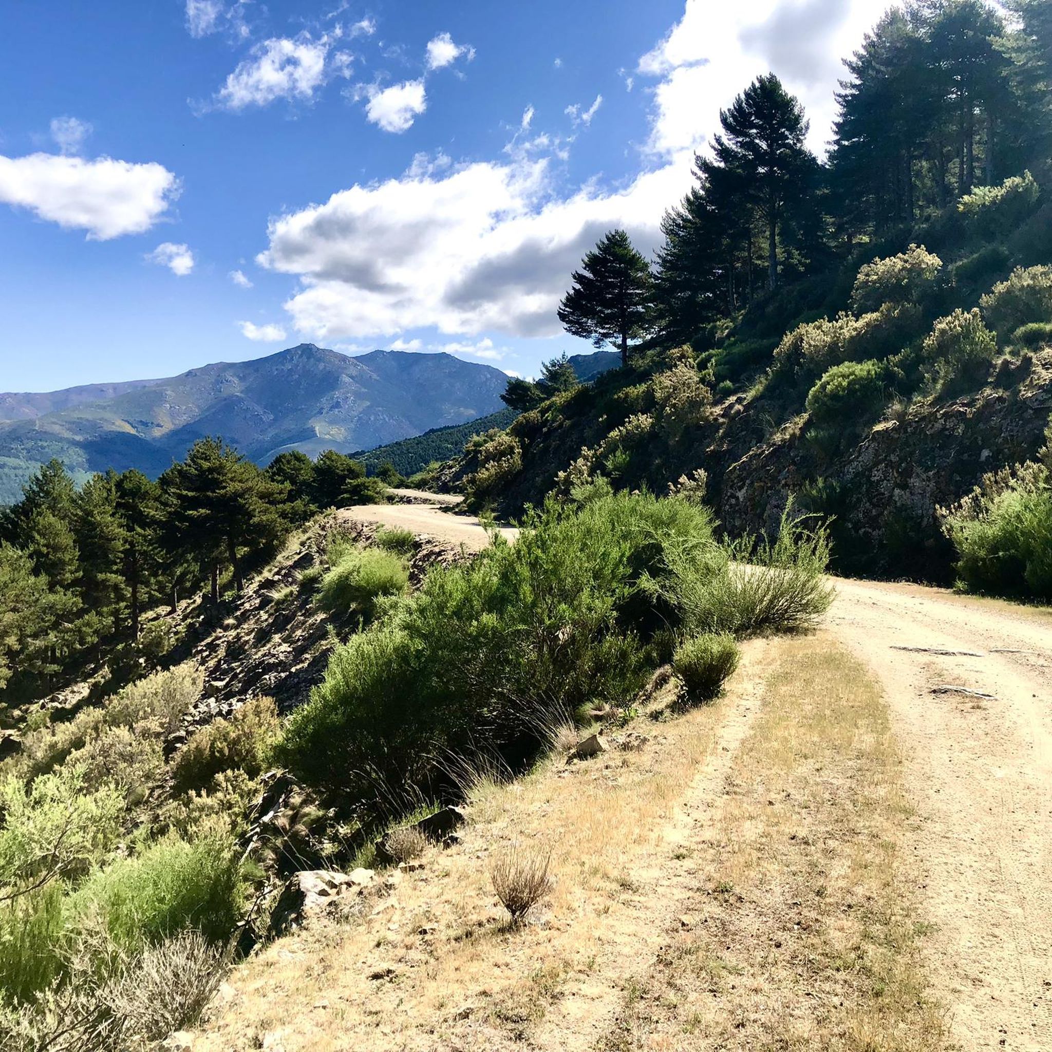
Jogging around Losar De La Vera offers routes through a diverse natural environment, situated at the transition from the Sierra de Tormantos mountains to the plains. The region features varied topography, including paths that lead to altitudes exceeding 2000 meters in some areas. Joggers can explore numerous gorges and natural pools fed by waters from the Gredos mountain range, such as the Garganta de Cuartos. This area provides a range of running experiences, from gentle paths to more challenging mountainous terrain.
Best jogging routes around Losar De La Vera
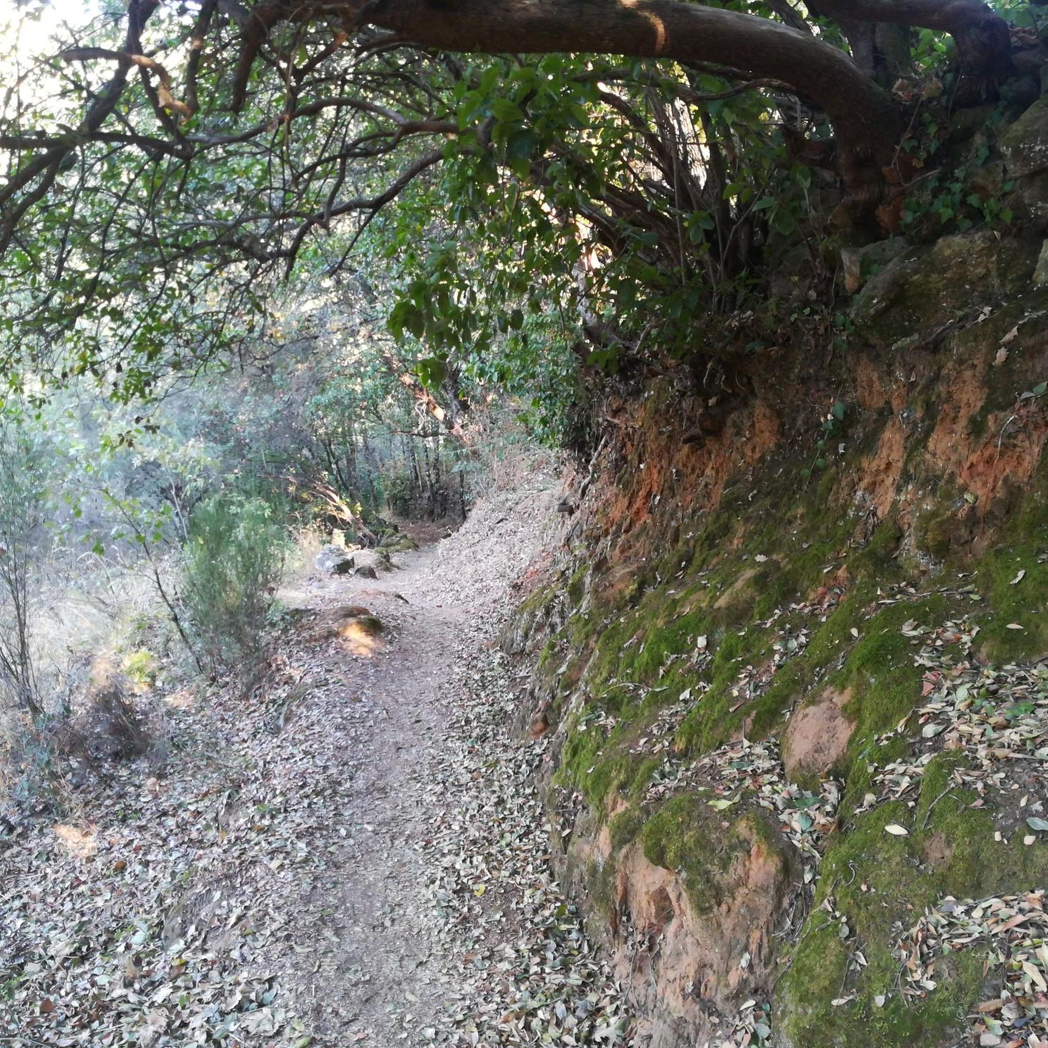
- The most popular jogging route is Trabuquete Trail - Old Castile Path, a 6.9 miles (11.1 km) trail that takes 1 hour 50 minutes to complete. This difficult route traverses historical paths with significant elevation gain.
- Another top favourite among local runners is Trabuquete Bridge – Charco del Trabuquete loop from Guijo de Santa Bárbara, a difficult 3.4 miles (5.4 km) path. This route leads to the scenic Charco del Trabuquete natural pool, offering refreshing views.
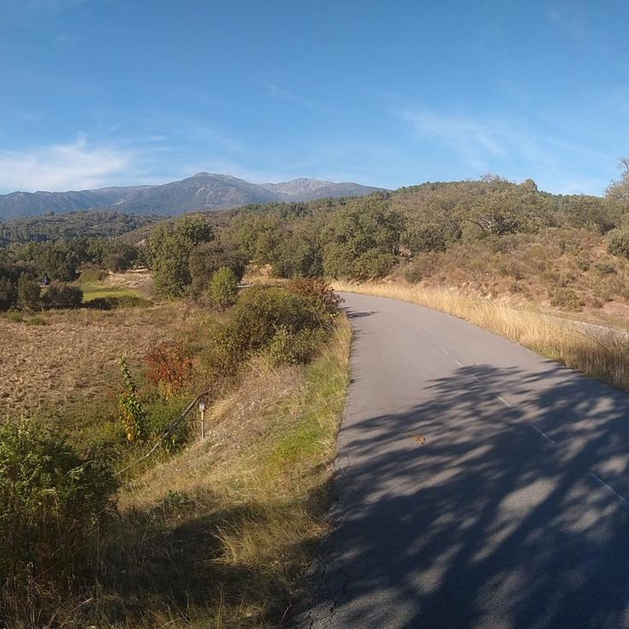
- Local runners also love the GR-111 through Losar de la Vera loop from Losar de la Vera, a 5.0 miles (8.0 km) trail leading through the GR-111 path, often completed in about 1 hour.
- Jogging around Losar De La Vera is defined by mountain landscapes, clear gorges, and natural pools. The network offers options for easy, moderate, and difficult routes, catering to different ability levels.
- The guide includes highly-rated routes that showcase the best of the region's landscape. More than 80 runners have used komoot to explore Losar De La Vera's varied terrain.
Last updated: October 19, 2026
7
runners
11.1km
01:50
540m
540m
This difficult 6.9-mile (11.1 km) jogging route offers stunning natural beauty, including the Charco del Trabuquete waterfall.
11
runners
Hard run. Good fitness required. Sure-footedness, sturdy shoes and alpine experience required.

11
runners
6.40km
00:43
70m
70m
Hard run. Good fitness required. Sure-footedness, sturdy shoes and alpine experience required.
6
runners
9.19km
01:10
260m
260m
Hard run. Good fitness required. Sure-footedness, sturdy shoes and alpine experience required.
4
runners
7.01km
00:50
170m
180m
Moderate run. Good fitness required. Mostly paved surfaces. Suitable for all skill levels.
Get access to more routes and recommendations from other explorers.
Already have an account?
Our route recommendations are based on thousands of hikes, rides, and runs completed by other people on komoot.
Start today with a free account
Your next adventure awaits.
Tips from the Community

The largest town in the region, it has a variety of shops and accommodations.
1
0

The most important monument in Jarandilla de la Vera is the castle-palace of the Counts of Oropesa, where Charles I stayed before moving to the Monastery of Yuste. This 15th-century castle, built on an ancient fortress, reflects the medieval history of the town, which was also briefly linked to the Knights Templar. Today, anyone can stay here, as it is a tourist parador. A natural highlight is the Jaranda Gorge, which runs through Jarandilla and offers a fresh and accessible natural environment next to the town center.
0
0
Losar de la Vera is located in the southern foothills of the Gredos mountain range, in a privileged natural setting that defines its identity. This town preserves traditional architecture centered around the Church of Santiago Apóstol, built in the 15th century, a reflection of its rich history and rural culture. One of its most unique attractions is its ornamental gardens, a living testament to the community's appreciation and commitment to its natural surroundings, which adds a special charm to the landscape and the experience of visiting this corner of La Vera.
1
0

the water is super cold even in summer!!!
0
0

Located in the charming and quiet town of Guijo de Santa Bárbara, Charco del Trabuquete is a simple, although somewhat demanding, route that runs through the Jaranda Gorge. A route dotted with cliffs and cliffs through which streams and river gorges with crystal-clear waters flow. It is undoubtedly a natural environment of great beauty nestled between the Sierra de Gredos and the Sierra de Tormantos.
0
0

A stunning riverside walk. The lavender and Spanish Broom was particularly vibrant on the 10th May.
0
0
Frequently Asked Questions
How many running routes are available around Losar de la Vera?
There are 15 dedicated running routes around Losar de la Vera listed on komoot. These routes cater to various fitness levels, including 1 easy, 8 moderate, and 6 difficult options, ensuring a suitable path for every runner.
What kind of terrain can I expect on the jogging trails in Losar de la Vera?
The jogging trails in Losar de la Vera offer a diverse topography. You'll find paths ranging from gentle, flatter sections to more challenging mountainous terrain, with some areas reaching altitudes exceeding 2000 meters. The region is characterized by its transition from the Sierra de Tormantos mountains to the plains, providing a varied and engaging running experience.
Are there any running routes that feature natural pools or gorges?
Yes, Losar de la Vera is renowned for its numerous gorges and natural pools, fed by the Gredos mountain range. Many running routes incorporate these beautiful features. For instance, the Trabuquete Bridge – Charco del Trabuquete loop leads directly to the scenic Charco del Trabuquete natural pool. The Trabuquete Trail - Old Castile Path also offers views of this area.
What are some notable landmarks or points of interest I might see while running in Losar de la Vera?
Beyond the stunning natural landscapes, you can encounter several interesting landmarks. The region features ancient bridges, such as the medieval bridge over the Cuartos gorge, known as Puente de Cuartos, and the Carlos V Bridge. You might also spot the impressive Devil's Waterfall or the Garganta de la Nava.
Are there any easy running routes suitable for beginners in Losar de la Vera?
Yes, there is at least one easy running route available, perfect for beginners or those looking for a more relaxed jog. While many routes offer moderate to difficult challenges, you can find gentler paths to enjoy the beautiful scenery without significant elevation gain.
Can I find circular running routes in Losar de la Vera?
Absolutely. Many of the running paths in Losar de la Vera are designed as loops, allowing you to start and finish in the same location. An example is the GR-111 through Losar de la Vera loop, which offers a 8.0 km circular experience directly from the town.
What is the best time of year to go running in Losar de la Vera?
Losar de la Vera is suitable for outdoor activities throughout much of the year. Spring and autumn generally offer the most pleasant temperatures for running. While summer can be warm, the numerous gorges and natural pools provide refreshing spots. Winter running is also possible, especially on lower elevation trails.
Are there any running routes that offer panoramic views?
Yes, several routes provide spectacular views. The region's position at the foot of the Sierra de Tormantos mountains means many trails offer expansive vistas. For example, the 'Castañarillo' route, though not explicitly listed here, is known for its views of the Losar de la Vera mountain range, extending to the Tietar Valley and the Guadalupe mountain range.
What do other runners say about the jogging experience in Losar de la Vera?
Over 80 runners have explored the routes around Losar de la Vera using komoot. They frequently praise the region's diverse terrain, from challenging mountain paths to refreshing natural pools, and the opportunity to experience its unique natural beauty.
Are there any longer running trails for experienced runners seeking a challenge?
Yes, for experienced runners, Losar de la Vera offers several challenging routes with significant elevation gain. The Trabuquete Trail - Old Castile Path is a difficult 11.1 km route with considerable ascent, perfect for those looking for a more strenuous workout. The region even hosts competitive trail running events, indicating its suitability for advanced runners.
Can I find running routes near Jarandilla de la Vera?
Yes, there are running options accessible from nearby towns. For example, the Running loop from Jarandilla de la Vera is a difficult 4.48 km route that starts and ends in Jarandilla de la Vera, offering another excellent option for exploring the wider area.
Are there any running routes suitable for a moderate fitness level?
Certainly. Losar de la Vera has 8 routes classified as moderate difficulty. These trails provide a good balance of distance and elevation, offering an enjoyable challenge without being overly strenuous. An example is the Running loop from Hotel Talayuela Golf, which is 8.7 km long and offers a moderate experience.
Most popular routes around Losar De La Vera
Most popular attractions around Losar De La Vera

Get inspired with the komoot mobile app


Explore more
Browse the best Running Trails & Routes in other regions.
