The best road cycling routes around Ceclavín
54
riders
7
rides
Road cycling routes around Ceclavín traverse the Valle del Alagón, situated at the confluence of the Alagón and Tagus rivers. The terrain features gently rolling hills, typically between 340-400 meters, with some more challenging ascents in the Sierras de La Solana (up to 502 meters) and La Sierra Madre del Agua (461 meters). The landscape is characterized by Mediterranean vegetation, including extensive holm oak forests within the *dehesa* ecosystem, and cork oaks in higher sierra zones. Regional roads like EX-372,…
Last updated: June 24, 2026
13
riders
Moderate road ride. Good fitness required. Mostly well-paved surfaces and easy to ride.
19
riders
117km
05:11
1,050m
1,050m
Hard road ride. Very good fitness required. Some segments of this route may be unpaved and difficult to ride.

Sign up for free
6
riders
45.2km
02:24
480m
480m
Moderate road ride. Good fitness required. Mostly well-paved surfaces and easy to ride.
13
riders
63.3km
03:24
930m
930m
Hard road ride. Very good fitness required. Mostly well-paved surfaces and easy to ride.
3
riders
Moderate road ride. Good fitness required. Some segments of this route may be unpaved and difficult to ride.
Get access to more routes and recommendations from other explorers.
Sign up for free
Already have an account?
Our route recommendations are based on thousands of hikes, rides, and runs completed by other people on komoot.
Start today with a free account
Your next adventure awaits.
Login or Signup
Popular around Ceclavín
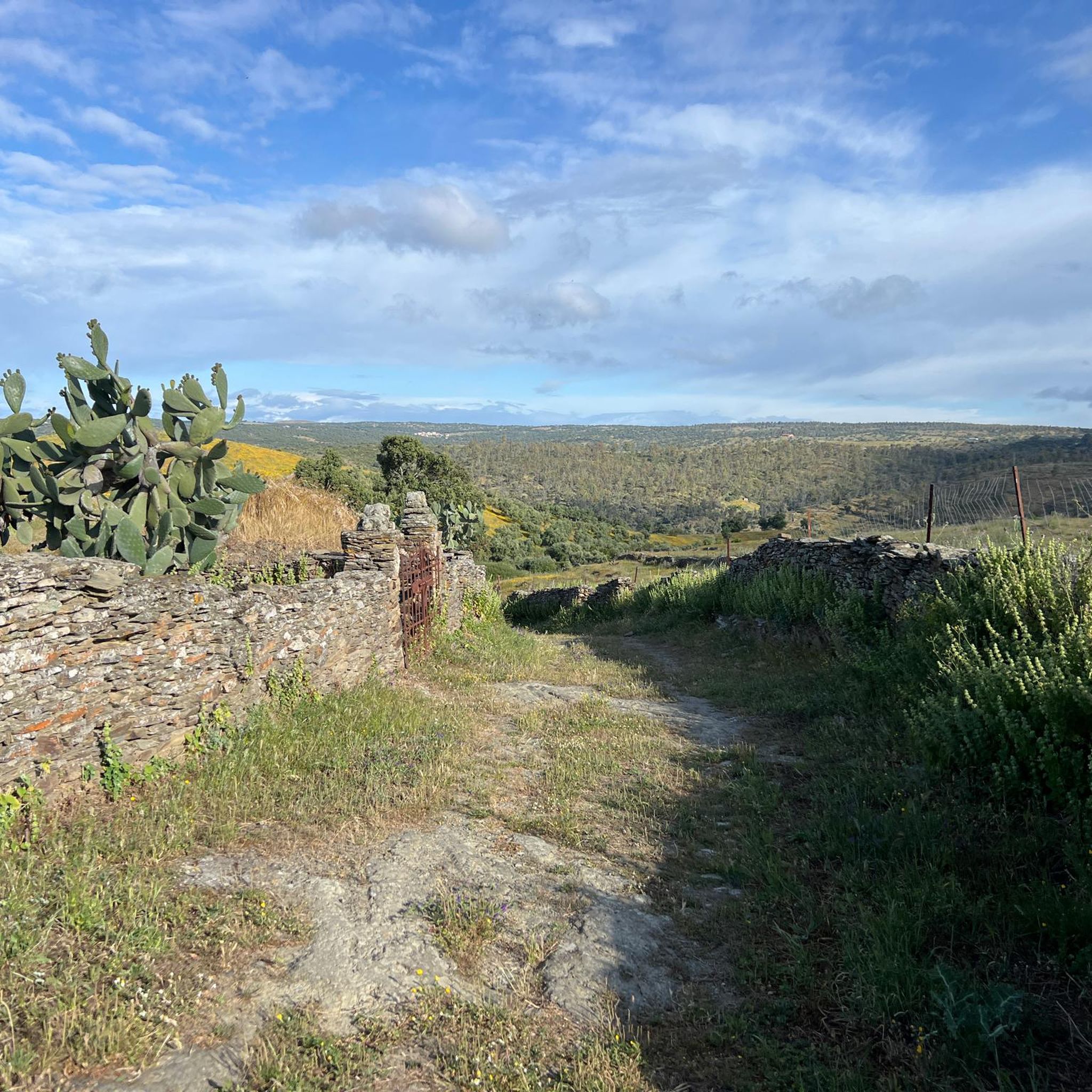
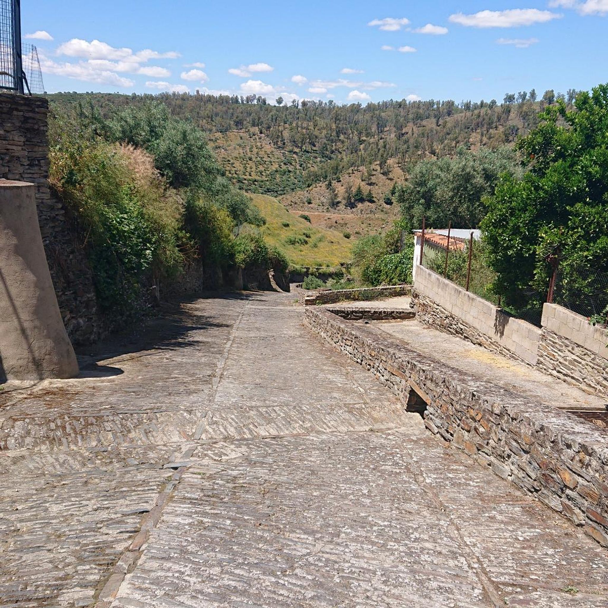
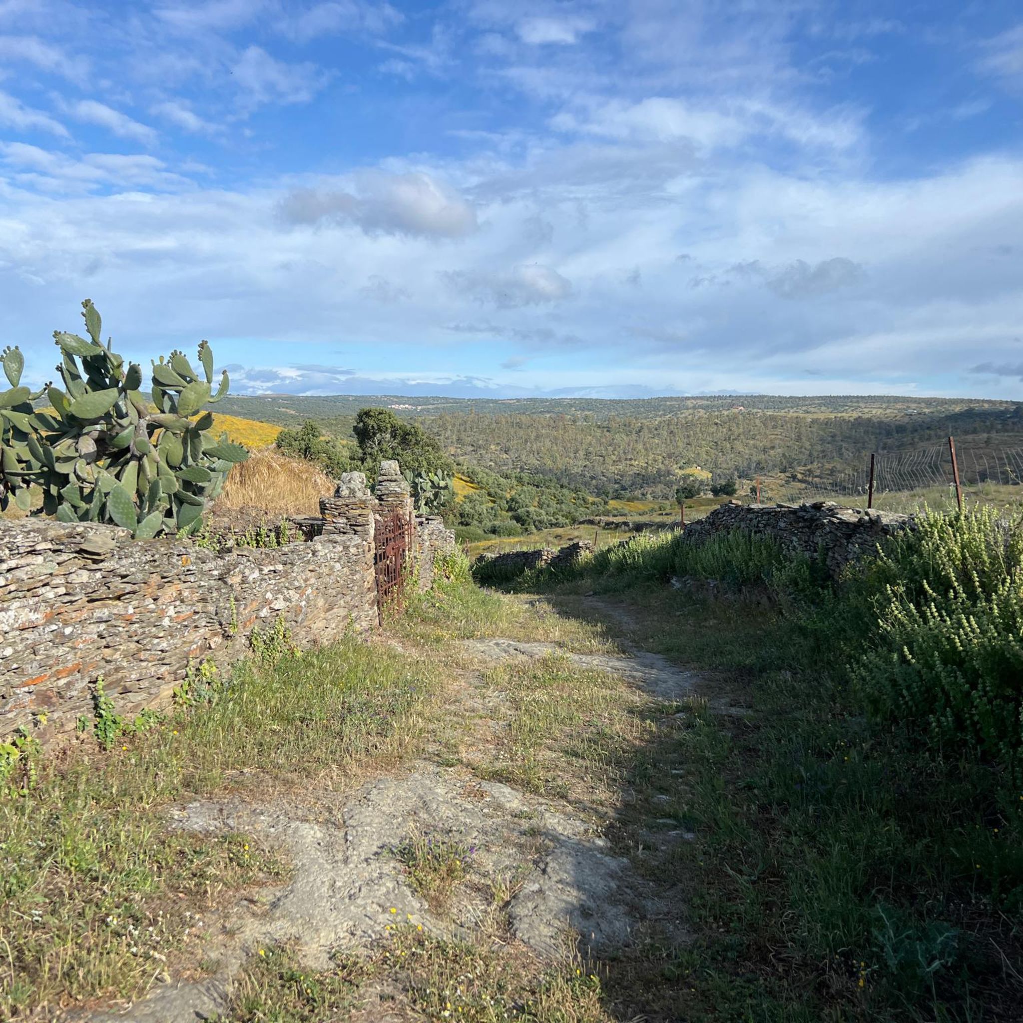
Tips from the Community

Incredible views from the north side of the reservoir.
5
0
It is an irregularly shaped square, surrounded by stately homes and palaces that reflect the splendor of Brozas in the 16th and 17th centuries, when it was the center of power for the Order of Alcántara. The arcades and facades with wrought-iron balconies are particularly noteworthy, as is the presence of noble buildings such as the Argüellos Carvajal Palace and the Orive Salazar Palace nearby.
5
0
The Plaza Mayor of Brozas (Cáceres, Extremadura) is the historic heart of this town, known for its rich heritage and traditional atmosphere. Although not as monumental as those of Cáceres or Trujillo, it has a special charm due to its history and vernacular architecture.
8
0
Alcántara has numerous buildings included within the delimited perimeter of the historic site recognized as Assets of Cultural Interest. Worthy of mention are the walls and defenses of the medieval walled and bastioned enclosures; the aforementioned Alcántara Bridge with its triumphal arch and the San Julián temple, adjacent to its exit; the Convent of San Benito; the Church of Santa María de Almoçóvar; in addition to countless heritage sites of notable importance, such as the Convent of Sancti Spíritu, the Convent of Los Remedios, and the Convent of San Bartolomé, as well as various churches, hermitages, and chapels, in addition to manor houses and palaces.
6
0
The Church of Santa María de Almocóvar, located in the Plaza de España in Alcántara (Cáceres), is one of the most emblematic churches in Extremadura and has been declared a Site of Cultural Interest since 1987. Inside, several pieces of interest are preserved: the tomb of Commander Antonio Bravo de Jerez, made by Lucas Mitata; five panels by Luis de Morales; a recumbent Christ, attributed to Martínez Montañés; a sculpture by Sebastián de Paz from 1639; the tomb of Master Yáñez de la Barbuda; and the baptismal font where Saint Peter of Alcántara was baptized.
10
0

Enjoy a peaceful walk in nature and enjoy the beautiful surroundings.
1
0
On the Spanish side, the bridge is located in the municipality of Alcántara in the province of Cáceres. It is reached via the regional highway EX-207 from the nearby town of Piedras Albas. On the Portuguese side, it connects with a local road to reach the town of Segura, from which this bridge takes its name. It was built in the Roman province of Lusitania to give continuity to the Roman road that connected Norba Caesarina (on the Via de la Plata) with the civitas Egitania (Idanha-a-Velha, Portugal) and with Bracara Augusta (Braga, Portugal), in order to save the Erjas river. This river marks the border line between Spain and Portugal, and the bridge serves as an international crossing between both countries.
9
0
The Pata de Buey Dolmen is a funerary structure that consists of a large chamber with an approximate diameter of 3 meters. The slate slabs that formed the chamber have remained mostly on the same side, especially in the areas adjacent to the corridor. In the northeast sector, there are also three small slabs.
8
0
Frequently Asked Questions
What kind of terrain can I expect on road cycling routes around Ceclavín?
Road cycling routes around Ceclavín primarily feature gently rolling hills, typically between 340-400 meters in elevation. The landscape is characterized by the *dehesa* ecosystem with extensive holm oak forests and river valleys. While generally smooth, some routes include more challenging ascents in the Sierras de La Solana and La Sierra Madre del Agua, offering varied terrain for different fitness levels.
How many road cycling routes are available around Ceclavín?
There are several road cycling routes around Ceclavín, with at least 4 highly-rated options detailed in this guide. These routes showcase the region's diverse landscape, from rolling hills to river valleys and higher sierra zones.
What is the best time of year for road cycling in Ceclavín?
The spring season is particularly recommended for road cycling in Ceclavín due to pleasant temperatures and clear skies. Autumn also offers beautiful golden landscapes and the olive harvest, making it another excellent time to explore the region on two wheels.
Are there challenging road cycling routes for experienced riders?
Yes, while many routes feature rolling hills, more challenging ascents can be found in areas like the Sierras de La Solana (reaching 502 m) and La Sierra Madre del Agua (461 m). For example, the Osborne Bull on the N-630 – Belvís Tower loop from Alcántara is a difficult 72.4-mile (116.6 km) trail leading through river valleys and higher sierra zones, often completed in about 5 hours 10 minutes.
Can I find circular road cycling routes around Ceclavín?
Yes, several routes are designed as loops. For instance, the popular Garrovillas de Alconétar from Alcántara – circular via Brozas and Navas del Madroño is a 51.0-mile (82.1 km) moderate circular trail. Another option is the Plaza Mayor of Torrejoncillo – La Encamisá of Torrejoncillo loop from Valdencín, a moderate 52.1-mile (83.9 km) path.
What scenic viewpoints or natural attractions can I see along the road cycling routes?
The region offers several picturesque spots. You can enjoy panoramic views from the Mirador del Boquerón, where the Alagón and Gata rivers meet. Routes may also pass by the Alcántara Reservoir or offer views of the Viewpoint of the José María de Oriol - Alcántara II Dam.
Are there historical or cultural sites accessible by road bike near Ceclavín?
Yes, the area around Ceclavín is rich in history. Cyclists can visit the iconic Alcántara Roman Bridge, a remarkable ancient structure. Other historical sites include the Roco-Campofrío Palace (Alcántara) and the Santa María de Almocóvar Church.
Is it possible to cycle through the Tajo Internacional Biosphere Reserve?
Ceclavín is located within the wider Tajo Internacional Biosphere Reserve, known for its low light pollution and natural beauty. While specific road cycling routes directly through the core of the reserve may vary, the regional roads around Ceclavín provide access to its diverse landscapes, including the characteristic *dehesa* ecosystem.
What do other road cyclists say about the routes in Ceclavín?
Over 50 road cyclists have used komoot to explore Ceclavín's varied terrain. They often praise the region's tranquil rural atmosphere, the scenic backdrop of holm oak forests, and the diverse road network that caters to different cycling experiences.
Are there options for longer distance road cycling tours?
Yes, Ceclavín offers routes suitable for longer distances. For example, the Osborne Bull on the N-630 – Belvís Tower loop from Alcántara is a substantial 72.4-mile (116.6 km) ride, and the Miradouro do Canhão do Erges loop from Zarza la Mayor covers 88.3 km, providing ample distance for extended tours.
Are road cycling routes around Ceclavín suitable for cycling with a dog?
While road cycling itself is generally not ideal for dogs, the tranquil rural setting and natural areas around Ceclavín, such as the extensive holm oak forests, offer opportunities for walks or other activities with your dog off the bike. Always ensure your dog's safety and comfort, especially near roads.
Most popular routes around Ceclavín
Most popular attractions around Ceclavín

Get inspired with the komoot mobile app


Explore more
Browse the best Road cycling routes in other regions.
