The 9 Most Amazing Peaks around Riudecanyes
Best mountain peaks around Riudecanyes are found within a region characterized by its diverse topography, including the Serra de Llaberia and Muntanyes de Prades. This area in Catalonia, Spain, offers a range of elevations and natural features. The landscape provides opportunities for exploring summits, historical sites, and mountain passes. Its position allows for views extending towards the coast and across various counties.
Best mountain peaks around Riudecanyes
- The most popular mountain peaks is La Miranda (918 m), a summit…
Last updated: June 29, 2026
La Mola Castle, Colldejou
Highlight • Castle
Translated by Google •
Tip by

Coll de la Teixeta
Highlight • Mountain Pass
Translated by Google •
Tip by

Sign up now to discover places like this
Get recommendations on the best single tracks, peaks, & plenty of other exciting outdoor places.
Sign up for free
Puig de la Cabrafiga Summit (650 m)
Highlight • Summit
Translated by Google •
Tip by

Mont-Redon Summit
Highlight • Summit
Translated by Google •
Tip by

La Miranda (918 m)
Highlight • Summit
Translated by Google •
Tip by

Sign up for free to discover even more peaks around Riudecanyes.
Sign up for free
Already have an account?
Start today with a free account
Your next adventure awaits.
Login or Signup

Tips from the Community

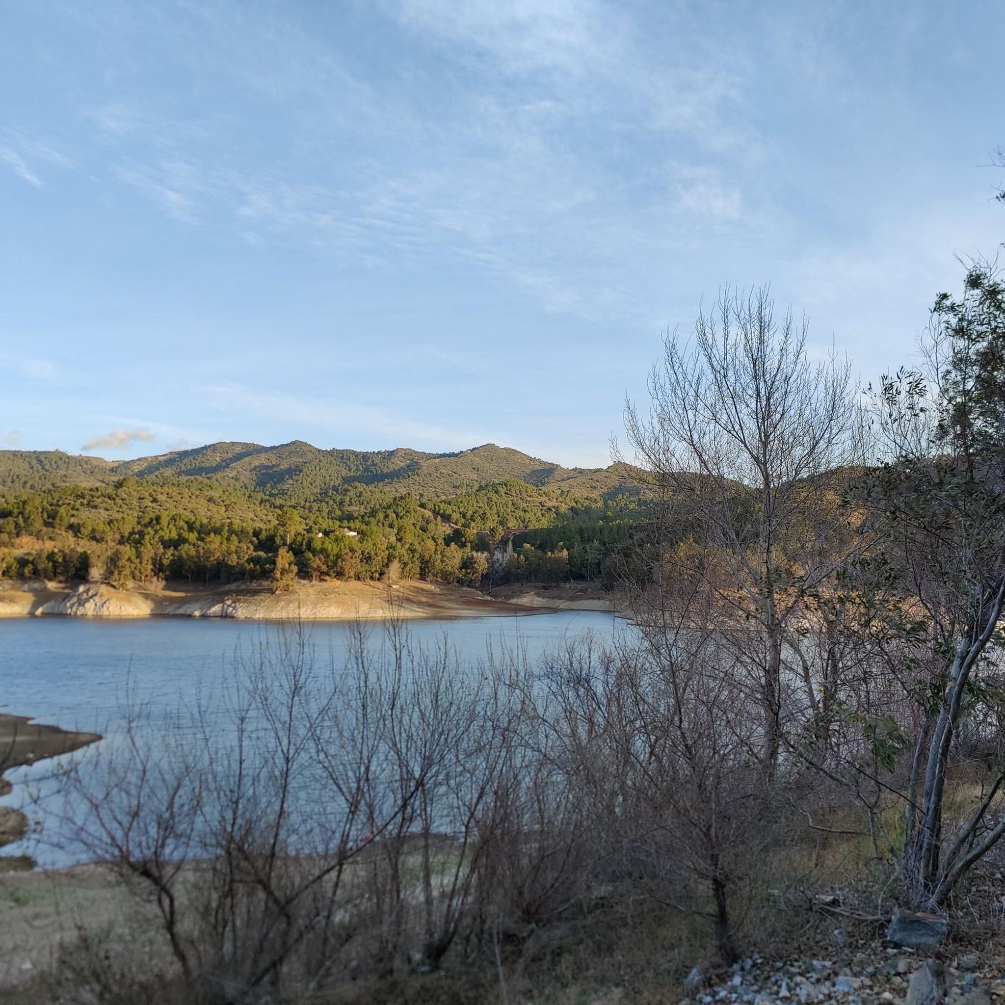
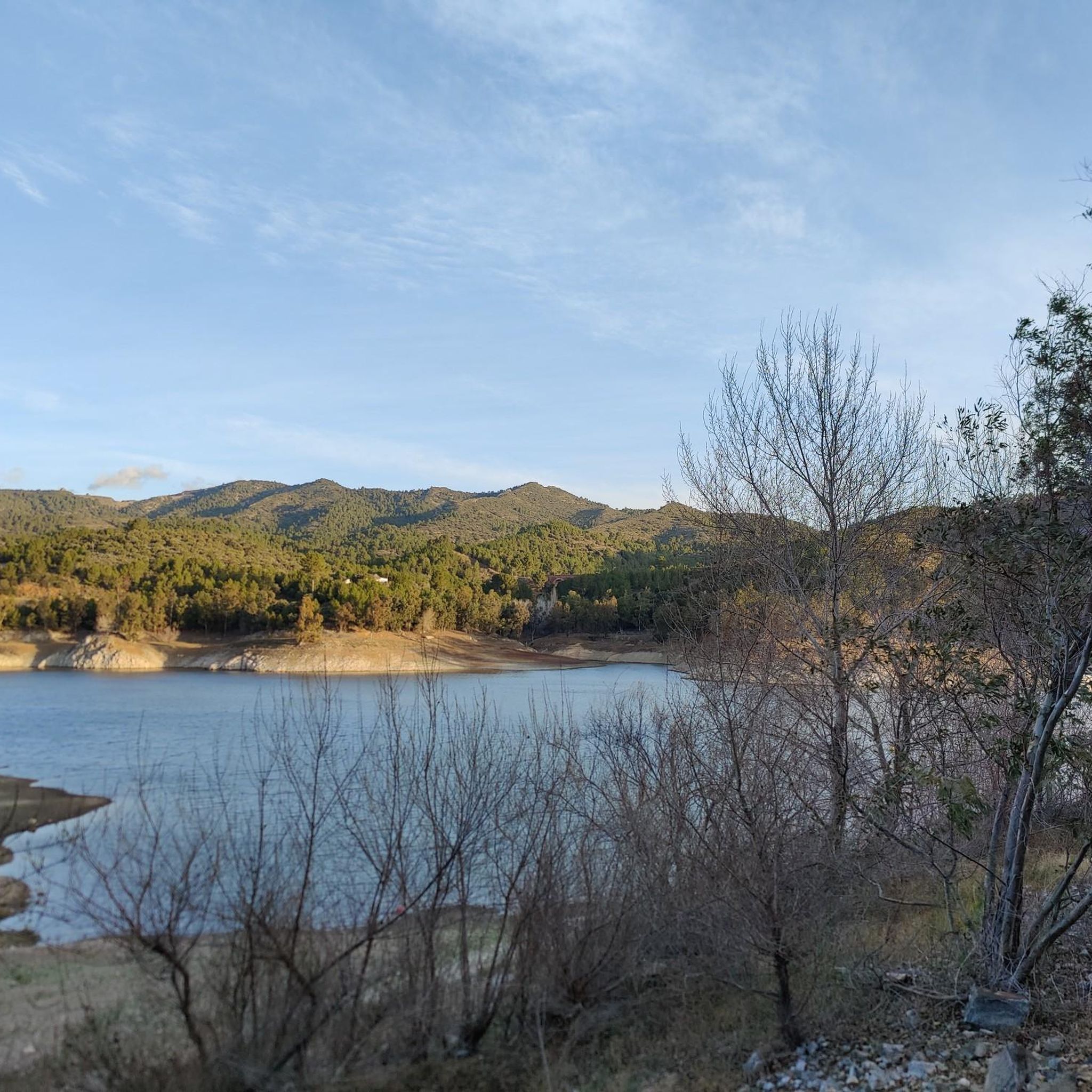
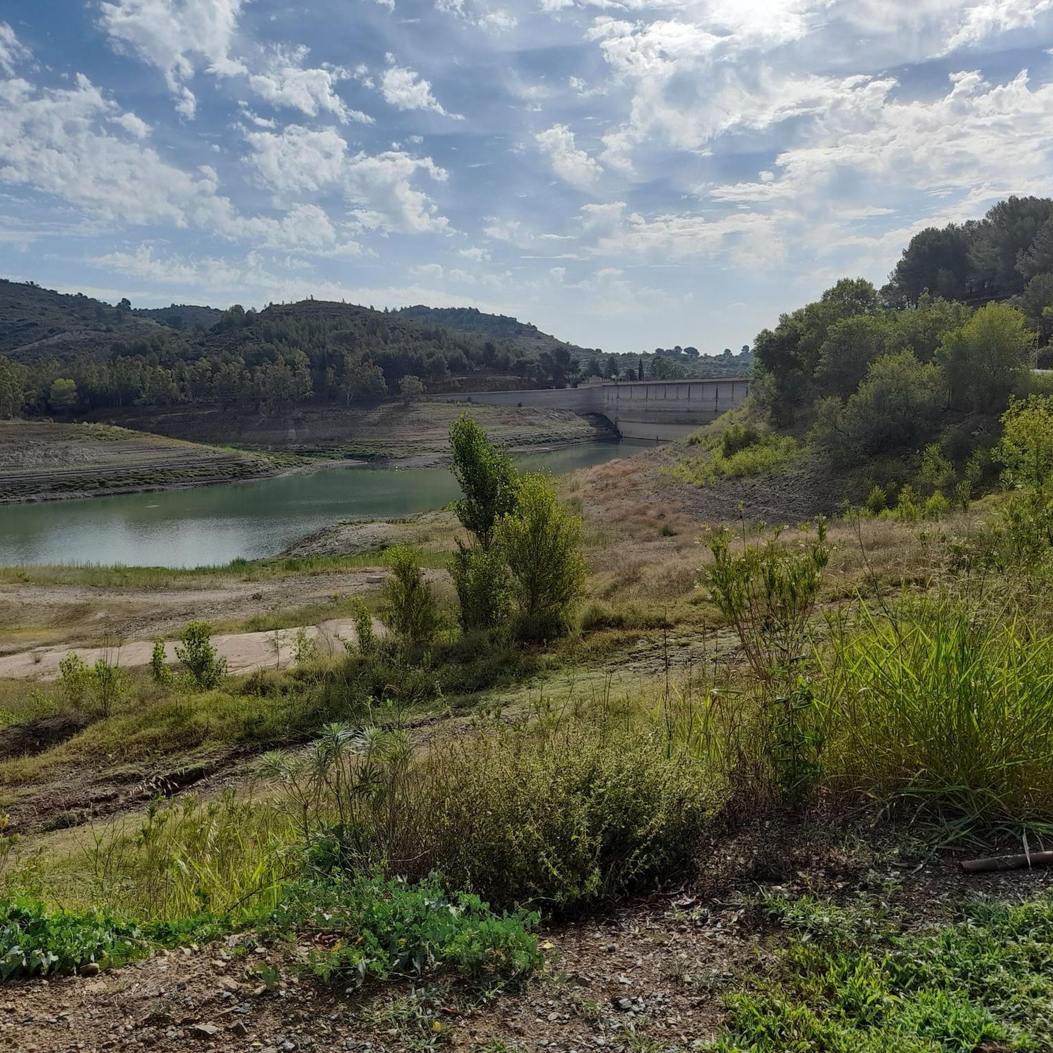
A beautiful hike with stunning views of the pre-coastal coast.
0
0

Mont-Redon is a mountain located near Pratdip, in the Sierra de Llaberia, Catalonia. It's a popular destination for hiking and mountaineering enthusiasts due to its stunning views and challenging routes.
8
0

Pass between Tarragona and towards Teruel along the N420. It is also a crossing point for the GR7, on a gravel route you can follow the Porrera path towards Argentera, under the cliffs of the Serra de Llaberia.
1
1
This mountain pass is the passage from the Serra de Montsant towards the Serra de Llaberia, and is also a crossroads between Tarragona and Aragon, towards Alcanyís on the N420. It is also a crossing point for the GR7.
1
1


From up here you have a beautiful view.
0
0

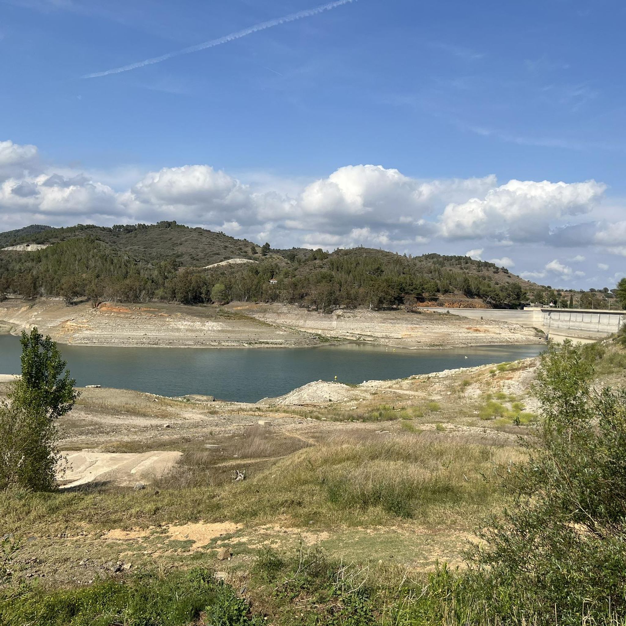
Coll de la Teixeta is a mountain pass that is 541 meters above sea level. It unites the Tarragona counties of Priorat and Baix Camp and is located between the Sierra de Puigcerver and the Sierra de Pradell.
1
0

Mont-redon is a mountain of 864 meters with good views of the coast and the city of Tarragona and Baix camp. Spectacular view of the surrounding cliffs
0
1
Frequently Asked Questions
What are some of the most notable mountain peaks and passes around Riudecanyes?
The region offers diverse options, including the prominent summit of La Miranda (918 m), known for its expansive views of the Serra de Llaberia and the coast. Another significant point is Coll de la Teixeta, a mountain pass that connects the Tarragona counties of Priorat and Baix Camp and serves as a crossing point for the GR7 trail.
Are there any historical sites among the mountain peaks near Riudecanyes?
Yes, visitors can explore La Mola Castle, Colldejou. This historical site offers a viewpoint and, if conditions permit, you might even discover the grindstone cave mentioned by visitors.
What kind of views can I expect from the mountain peaks in this area?
Many peaks offer privileged viewpoints. From La Miranda, you can see the immensity of the Serra de Llaberia and the coast. Puig de la Cabrafiga Summit (650 m) provides stunning views of the pre-coastal area, while Mont-Redon Summit offers spectacular vistas of the coast, Tarragona city, and Baix Camp.
What are the difficulty levels for hiking these mountain peaks?
The mountain peaks around Riudecanyes range from intermediate to challenging. For example, La Mola Castle, Colldejou and Mont-Redon Summit are considered challenging, requiring good condition and sturdy footwear. Other highlights like Coll de la Teixeta and Puig de la Cabrafiga Summit are generally intermediate.
Are there any beginner-friendly mountain walks or easier routes near Riudecanyes?
While many peaks are intermediate to challenging, there are easier hiking routes in the broader Riudecanyes area. For instance, the 'Paved path – The Puigferrós Viewpoint loop from l'Argentera' is rated as easy. You can find more options on the Hiking around Riudecanyes guide.
What outdoor activities can I do near these mountain peaks?
Beyond peak bagging, the region offers a variety of outdoor activities. You can explore numerous hiking trails, such as 'Trails steeped in history in Escornalbou' or the 'Riudecanyes Reservoir – Lavaderos de Duesaigües loop'. There are also options for running, like the 'Lavaderos de Duesaigües – Font de Vilamanya loop', and gravel biking routes, including 'Coll de la Teixeta – Riudecanyes Reservoir loop'. For more details, check the Hiking, Running, and Gravel Biking guides around Riudecanyes.
When is the best season to visit the mountain peaks around Riudecanyes?
The best seasons for hiking and exploring the mountain peaks around Riudecanyes are typically spring (April to June) and autumn (September to November). During these times, the weather is generally milder and more pleasant for outdoor activities, avoiding the intense heat of summer and potential winter conditions at higher elevations.
What should I wear and bring for hiking in the Riudecanyes mountains?
For hiking in this region, it's advisable to wear sturdy, non-slip footwear, especially for routes with stony sections or challenging terrain. Layered clothing is recommended to adapt to changing weather conditions. Always carry sufficient water, snacks, sun protection, and a map or GPS device. For more challenging routes, trekking poles can be beneficial.
Are there any circular walks available in the Riudecanyes mountain area?
Yes, there are several circular routes that allow you to experience the diverse landscapes. Examples include the 'Mirador de Puigferrós - Circular route from Desaigües' and the 'Riudecanyes Reservoir – Lavaderos de Duesaigües loop'. These routes offer a convenient way to explore without retracing your steps. You can find more circular options in the Hiking around Riudecanyes guide.
What do visitors enjoy most about the mountain peaks around Riudecanyes?
Visitors frequently highlight the stunning natural beauty and expansive views. Many appreciate the sense of immersion in the landscape, particularly from summits like La Miranda. The combination of challenging routes, historical sites like La Mola Castle, and the diverse terrain of the Serra de Llaberia makes for a rewarding experience.
Are there any hidden trails or less-known spots in the Riudecanyes mountain area?
The region, particularly within the Serra de Llaberia and Muntanyes de Prades, is rich with trails that can lead to less-frequented spots. While specific 'hidden' trails aren't explicitly listed, exploring the various routes in the Hiking around Riudecanyes guide can help you discover quieter paths and unique viewpoints away from the most popular spots.
Most popular routes around Riudecanyes
Most popular attractions around Riudecanyes

Get inspired with the komoot mobile app


Explore more
See even more amazing summits around Riudecanyes with these guides:
