The 20 Most Amazing Peaks around Comunidad de las Rasas
Best mountain peaks around Comunidad de las Rasas offer diverse terrain for outdoor exploration. This region, situated within the broader landscape of Álava and the Basque Country, provides opportunities for hiking and experiencing natural features. The area is characterized by its summits and mountain passes, presenting both scenic viewpoints and physical challenges. Visitors can explore a variety of mountain trails that showcase the natural beauty of the local environment.
Best mountain peaks around Comunidad de las Rasas
- The most popular…
Last updated: July 6, 2026
Toloño
Highlight • Summit
Translated by Google •
Tip by

Puerto de Herrera
Highlight • Mountain Pass
Translated by Google •
Tip by

Sign up now to discover places like this
Get recommendations on the best single tracks, peaks, & plenty of other exciting outdoor places.
Sign up for free
Castle Rock
Highlight • Summit
Translated by Google •
Tip by

Bonete de San Tirso
Highlight • Summit
Translated by Google •
Tip by
Cruz del Castillo (1,431 m)
Highlight • Summit
Translated by Google •
Tip by

Sign up for free to discover even more peaks around Comunidad de las Rasas.
Sign up for free
Already have an account?
Start today with a free account
Your next adventure awaits.
Login or Signup
Tips from the Community

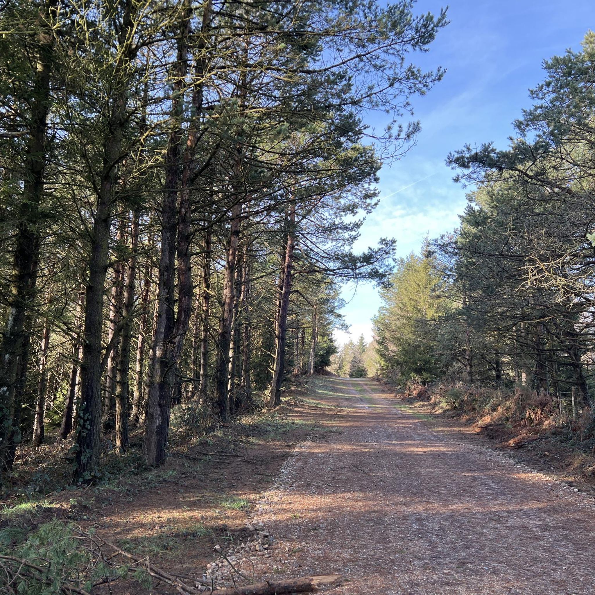
One of the toughest, if not the toughest, mountain passes in Álava. Cantabrian Mountains. Natural border with La Rioja.
1
0

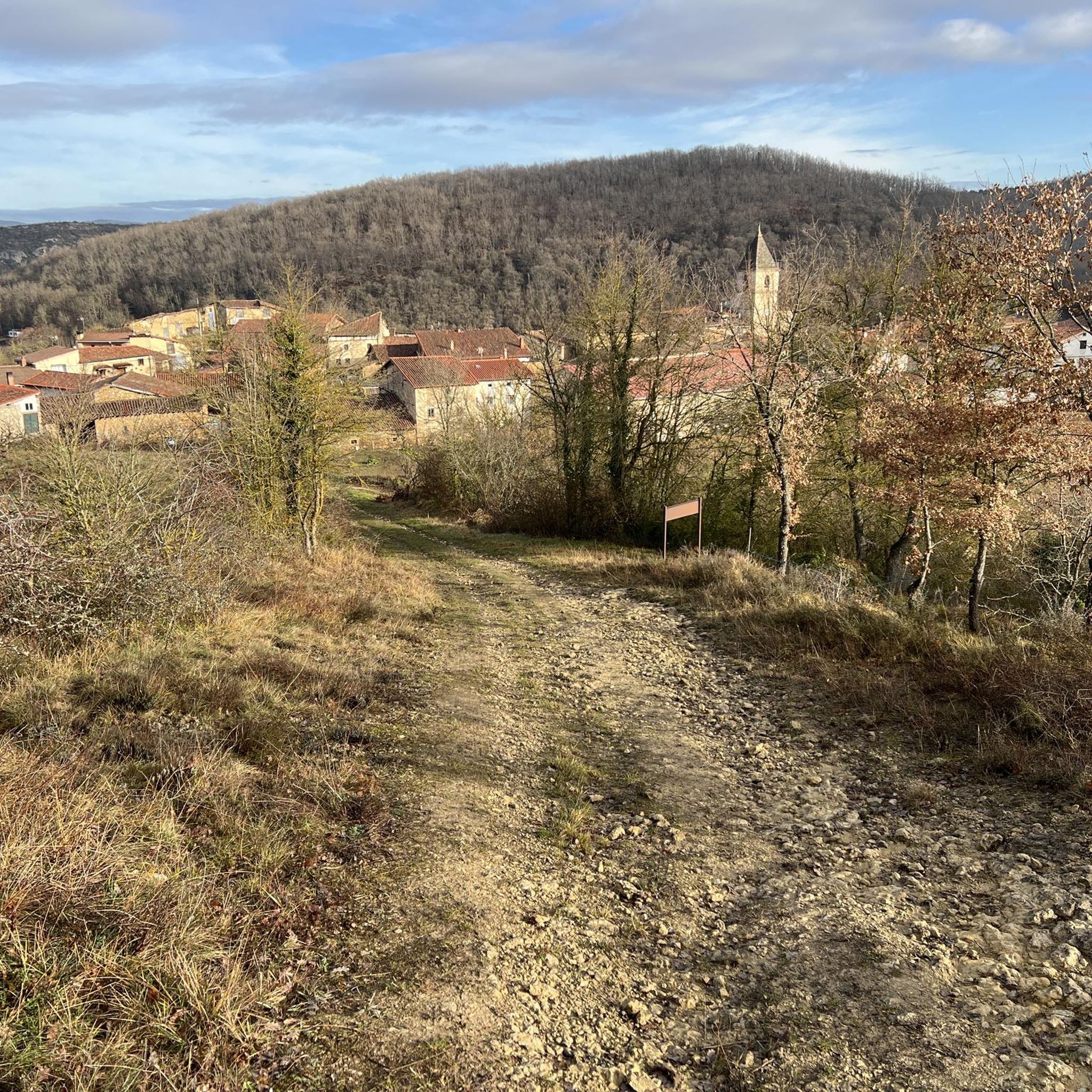
The route returns along the same path, passes the gate again and continues along the path with the green dots towards the geodesic vertex of Toloño (1,264 m), which is not the main summit, this is a cartographic landmark, the main summit is after a little hill planted in some airy and solitary cliffs. The views jump the meanders of the Ebro and reach the silhouettes of San Lorenzo, San Millán and the rest of the peaks of the Sierra de la Demanda. Moncayo appears further away, claiming some prominence in an unforgettable scene. At the foot of the Toloño, in the first valley hanging from the south face, appear the ruins of the Toloñoko Andra Mari, the ancient Monastery of Santa María del Toloño. And to the right the peaks that remain to complete the mountain journey.
0
0

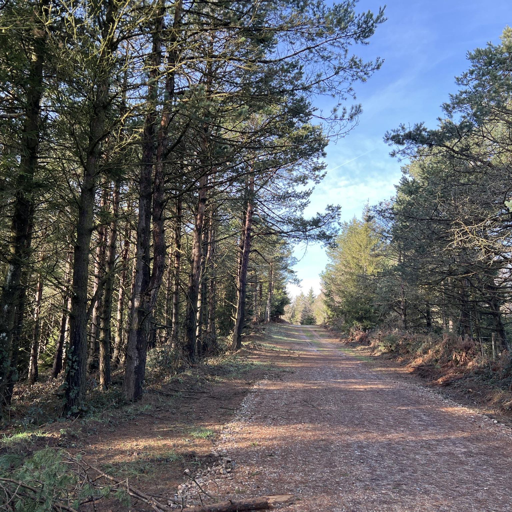
Summit with spectacular views but you have to earn them since to reach the highest part you have to make a small climb.
1
0
Summit with spectacular views that you have to win since to reach the highest part you have to climb a little.
0
0
Characteristic summit of the Sierra de Toloña near Mount San Tirso. It is a steep peak that has the shape of a bishop's hat, from which the name comes.
1
0

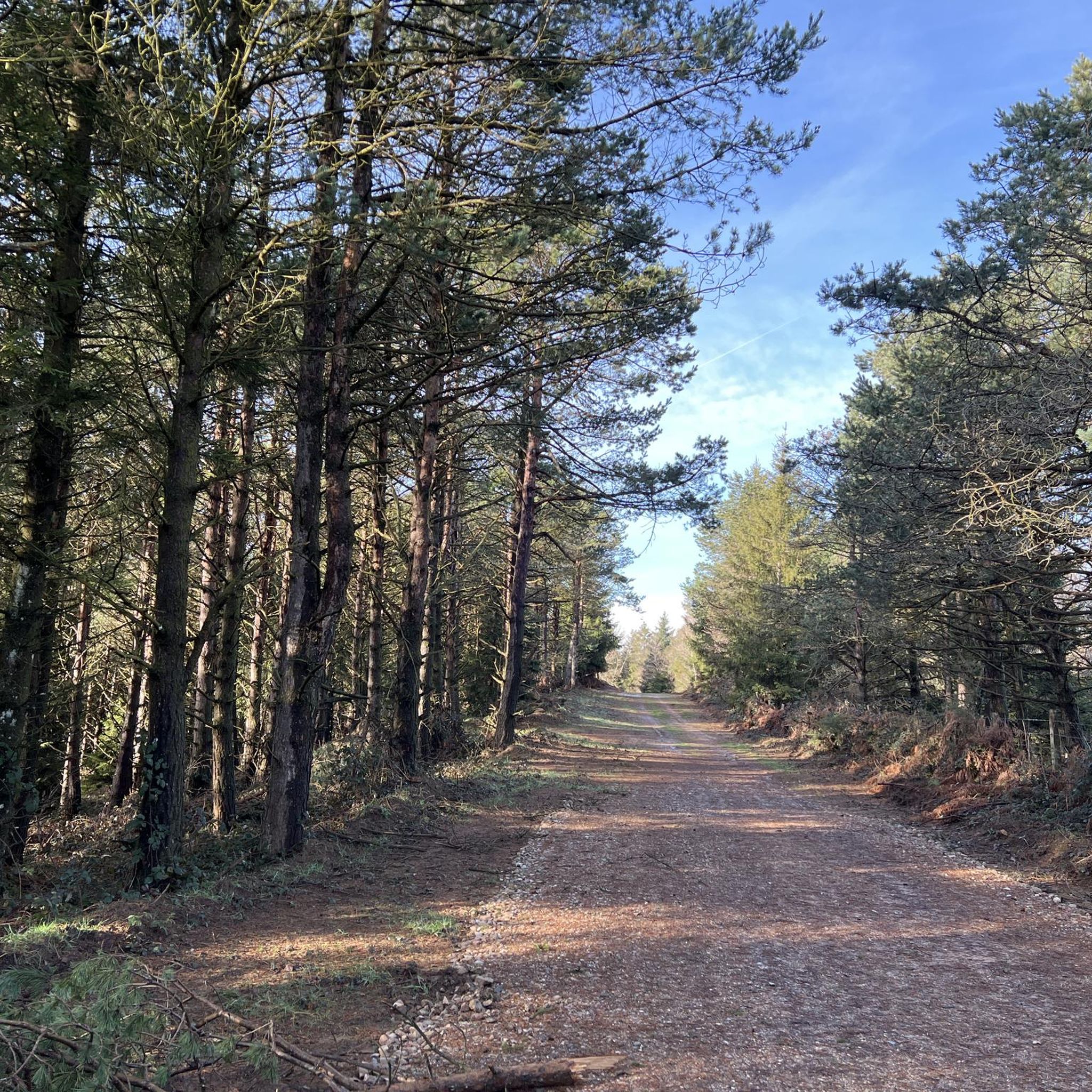
Mythical Alava port bordering between Campezo and Laguardia. The ascent from Peñacerrada is 7.5 kilometers long and has slope peaks greater than 10%. The road is narrow and winding through green forests. Cyclists who enjoy the ascents and the landscape will fulfill their expectations.
1
0

Perhaps the most emblematic mountain in the area, and no wonder, it's a pleasure to be up there.
1
0
Spectacular ... but to get to the top you have to make a climb that for me is too much.
0
0
Frequently Asked Questions
What kind of mountain peaks can I expect to find around Comunidad de las Rasas?
The area, situated within the broader landscape of Álava and the Basque Country, features a variety of summits, mountain passes, and viewpoints. You'll find everything from intermediate climbs to challenging ascents, offering diverse terrain for outdoor exploration. Peaks like Toloño are emblematic, providing expansive views and a rich natural experience.
Are there any particularly challenging mountain climbs in this region?
Yes, for those seeking a challenge, peaks like Bonete de San Tirso are known for their demanding nature. This peak, with its distinctive shape resembling a bishop's hat, offers a steep ascent near Mount San Tirso. Another challenging spot is Puerto de Herrera, a mythical Alava mountain pass with steep inclines, particularly popular among cyclists.
What are some of the best viewpoints among the mountain peaks?
Many peaks in the region offer spectacular views. For instance, the Toloño (geodetic vertex) provides super cool views, and while the main Toloño summit is more spectacular, this nearby vertex is definitely worth visiting. Castle Rock also promises spectacular views, though reaching the highest part requires a small climb.
What outdoor activities can I do near these mountain peaks?
The region offers a range of outdoor activities. For hiking, you can explore routes like the 'Larrasa and Cruz del Castillo through the port of Toro' or the 'Pipaón Trail (PR-A 53)'. Cyclists can enjoy challenging routes such as the 'Puerto de La Aldea – Puerto de la Aldea Climb loop from Obecuri'. You can find more details on these and other routes in the Hiking around Comunidad de las Rasas and Road Cycling Routes around Comunidad de las Rasas guides.
Are there family-friendly mountain walks or trails available?
While the guide highlights several challenging peaks, the broader area of Álava and the Basque Country often provides trails suitable for various skill levels. For specific family-friendly options, it's recommended to check local trail descriptions for difficulty ratings and terrain, as some routes might be more accessible than the prominent summits mentioned.
What is the best time to visit the mountain peaks in this area?
The best time to visit mountain peaks generally depends on the activity you plan. Spring and autumn often offer pleasant temperatures for hiking and cycling, with vibrant natural scenery. Summer can be great for longer days, but some routes might be exposed to sun. Winter hiking is possible but requires appropriate gear and experience, especially on higher or more challenging peaks.
What natural features can I expect to see when exploring these mountains?
Beyond the summits and passes, you can expect to encounter diverse natural landscapes. The tips for Toloño mention views that jump the meanders of the Ebro and reach distant mountain silhouettes, as well as the ruins of the Toloñoko Andra Mari monastery in a valley. The region's natural beauty is a key draw for visitors.
What do visitors enjoy most about the mountain peaks around Comunidad de las Rasas?
Visitors frequently praise the spectacular views and the sense of accomplishment from reaching the summits. The emblematic nature of peaks like Toloño and the challenging yet rewarding ascents of places like Puerto de Herrera are often highlighted. The komoot community has shared 32 photos and given 34 upvotes, indicating a strong appreciation for the area's natural beauty and outdoor opportunities.
Are there any specific historical or cultural landmarks near the mountain peaks?
While the focus is on natural peaks, the tips for Toloño mention the ruins of the Toloñoko Andra Mari, an ancient Monastery of Santa María del Toloño, located at the foot of the mountain. This suggests there are historical elements integrated into the natural landscape, offering a glimpse into the region's past.
Can I find information on circular mountain walks in the area?
Yes, the nearby routes include circular options. For instance, the 'Larrasa and Cruz del Castillo through the port of Toro — circular via the charcoal burners' path (PR-A-50)' is a hiking route. For cycling, you can find routes like 'Ermita de San Bartolomé y Balsa de Lagrán – circular por el río Ega'. These routes are detailed in the Hiking around Comunidad de las Rasas and Cycling around Comunidad de las Rasas guides.
What are the difficulty levels for hiking trails around these peaks?
The hiking trails around the peaks vary in difficulty. For example, the 'Pipaón Trail (PR-A 53)' is rated as moderate, while routes like 'Larrasa and Cruz del Castillo through the port of Toro' and 'Cervera – Recilla loop from Pipaón' are considered difficult. It's advisable to check the specific route details for their difficulty grades before embarking on a hike.
Is there public transport or parking available for accessing the trails?
The guide data does not specifically detail public transport options or parking facilities for individual trailheads. It is generally recommended to research local transport services or parking availability for your chosen starting point within Álava or the Basque Country before your visit.
Most popular routes around Comunidad de las Rasas
Most popular attractions around Comunidad de las Rasas

Get inspired with the komoot mobile app


Explore more
See even more amazing summits around Comunidad de las Rasas with these guides:
