The best walks and hikes around Ábalos
4.7
(349)
2,269
hikers
100
hikes
Hiking around Ábalos offers routes through the southern mountain ranges of Álava, characterized by rolling hills, valleys, and historical landmarks. The region features varied terrain, from gentle paths near ancient ruins to more challenging ascents through mountain passes. These trails provide opportunities to explore the natural landscape and cultural heritage of the area.
Best hiking trails around Ábalos
- The most popular hiking route is Cocinas, Artxabal and Zelarruntxa — circular through the southern mountain ranges of Álava, a 7.4…
Last updated: July 1, 2026
5
hikers
Moderate hike. Good fitness required. Mostly accessible paths. Sure-footedness required.
5.0
(2)
21
hikers
4.73km
01:32
200m
200m
Easy hike. Great for any fitness level. Easily-accessible paths. Suitable for all skill levels.

Sign up for free
5.0
(2)
11
hikers
12.6km
04:26
630m
630m
Moderate hike. Good fitness required. Mostly accessible paths. Sure-footedness required.
6
hikers
8.84km
03:15
460m
460m
Moderate hike. Good fitness required. Mostly accessible paths. Sure-footedness required.
6
hikers
6.98km
02:13
280m
280m
Moderate hike. Good fitness required. Easily-accessible paths. Suitable for all skill levels.
Get access to more routes and recommendations from other explorers.
Sign up for free
Already have an account?
Our route recommendations are based on thousands of hikes, rides, and runs completed by other people on komoot.
Start today with a free account
Your next adventure awaits.
Login or Signup
Tips from the Community

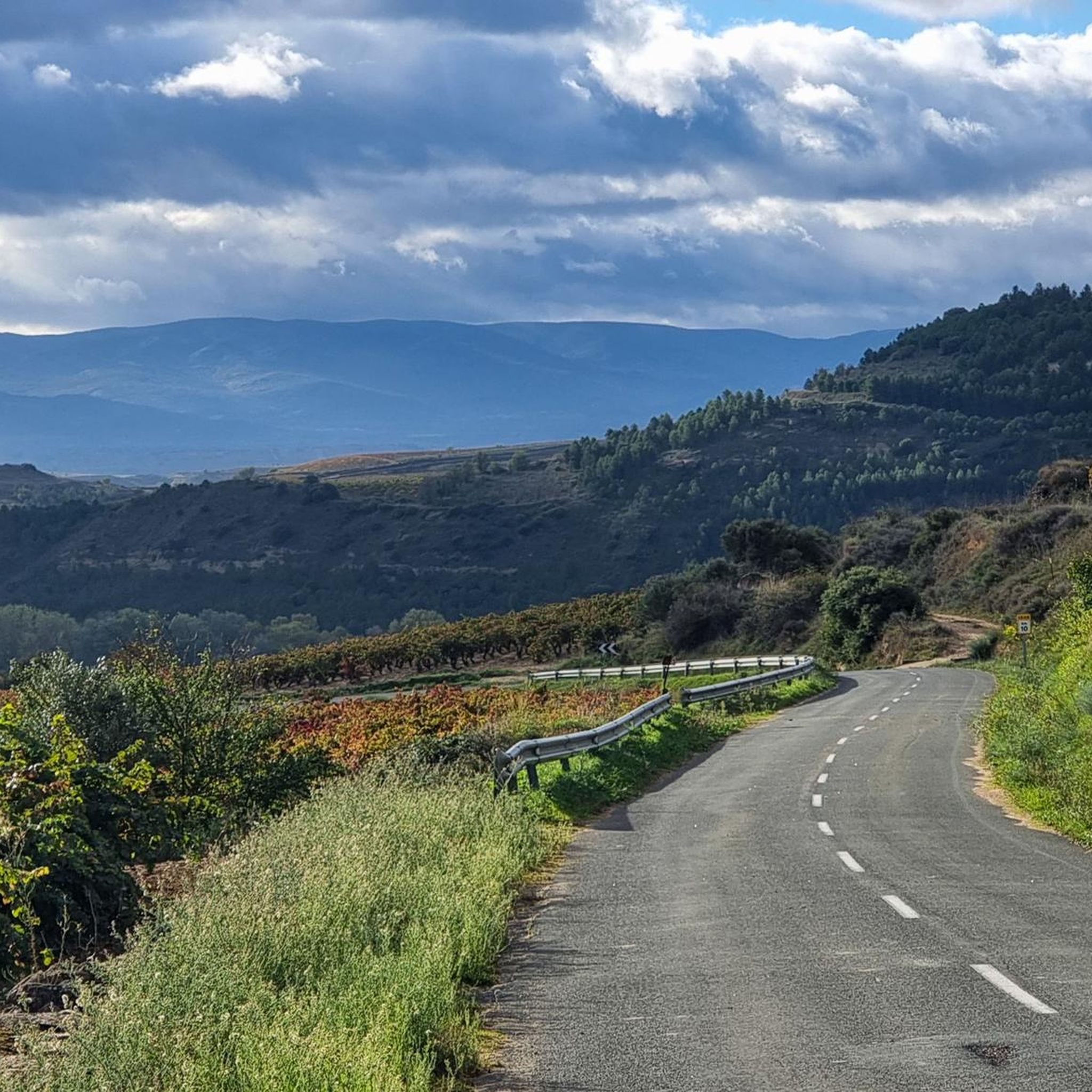
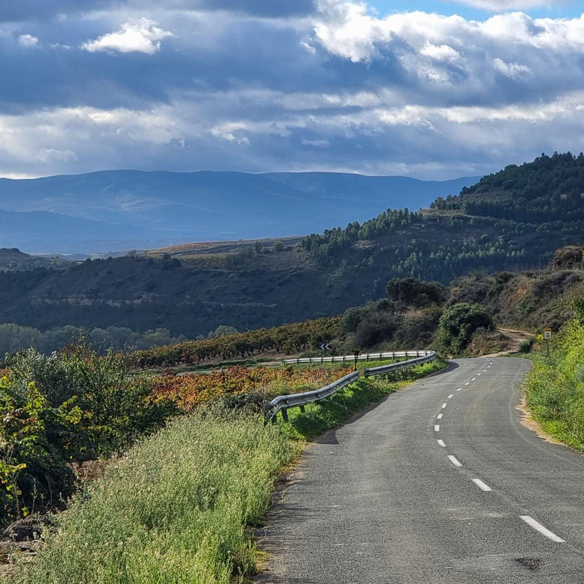
One of the toughest, if not the toughest, mountain passes in Álava. Cantabrian Mountains. Natural border with La Rioja.
1
0

The path was nowhere to be found further on. We therefore hiked back below the ridge line.
0
0

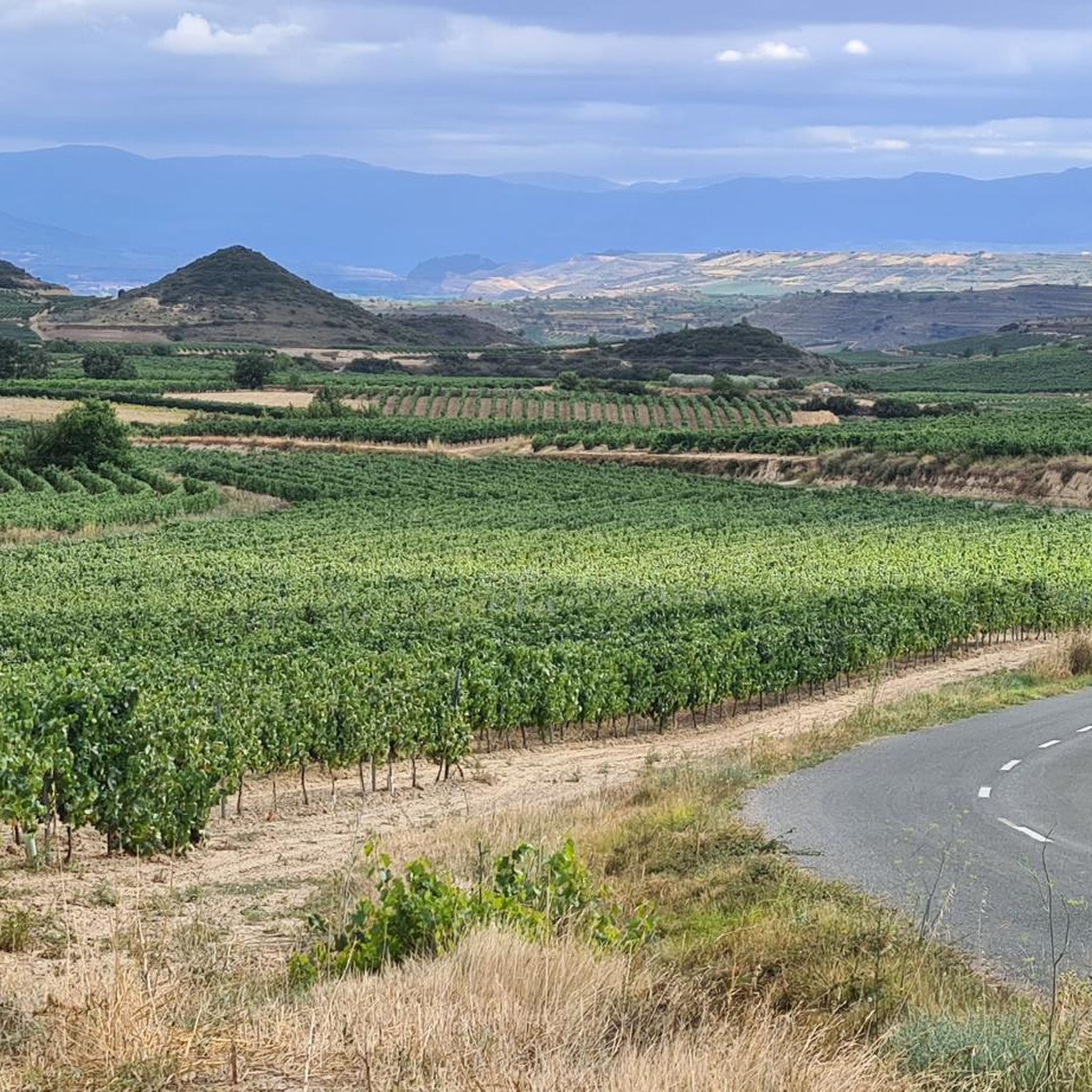
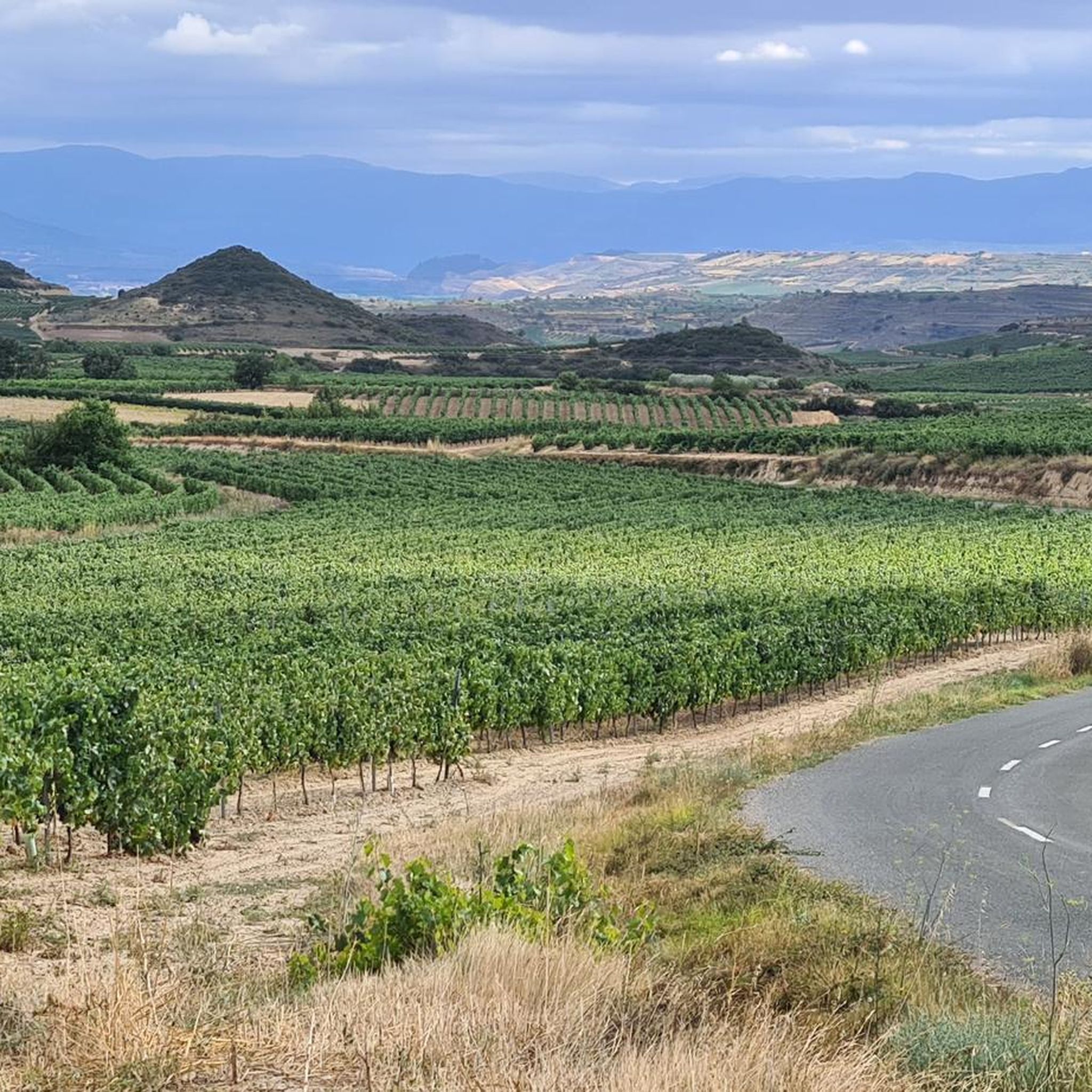
Nice place to take some photos. Spectacular views of the Ebro valley and the vineyards of La Rioja. There are also tables, chairs, plenty, covered area... it's very good.
0
0

Close to Vallehermoso, and while we're at it... With wet terrain, be careful. The views, impressive.
2
0
A very cool top, worth it, and access is very easy.
3
0

Mythical Alava port bordering between Campezo and Laguardia. The ascent from Peñacerrada is 7.5 kilometers long and has slope peaks greater than 10%. The road is narrow and winding through green forests. Cyclists who enjoy the ascents and the landscape will fulfill their expectations.
1
0
A very attractive summit, with very good views and a very small and simple final climb.
1
0
The climb up the last part is tough (watch out for wet terrain), but the reward of those views is well worth the effort. Very cool the porrón that symbolizes it.
0
0
Frequently Asked Questions
How many hiking trails are available in Ábalos?
Ábalos offers a wide variety of hiking experiences, with over 90 routes to explore. These range from easy strolls to more challenging ascents through the region's diverse landscapes.
Are there easy hiking trails suitable for beginners or families in Ábalos?
Yes, Ábalos has 23 easy hiking routes perfect for beginners or families. An excellent option is the Davalillo Castle loop from Castillo de Davalillo (Ruinas), an easy 4.3-mile (7.0 km) path offering views of the historic castle ruins and surrounding countryside.
What kind of terrain can I expect on hikes around Ábalos?
Hiking around Ábalos features varied terrain, from gentle paths near ancient ruins to more challenging ascents through mountain passes. You'll encounter rolling hills, valleys, and the southern mountain ranges of Álava, providing diverse landscapes for exploration.
Are there any circular hiking routes in Ábalos?
Yes, many routes in Ábalos are circular, allowing you to start and end at the same point. A popular moderate circular route is Cocinas, Artxabal and Zelarruntxa — circular through the southern mountain ranges of Álava, which covers 7.4 miles (12.0 km).
What are some interesting landmarks or attractions to see while hiking in Ábalos?
The region is rich in historical and natural landmarks. You can explore the ruins of Berganzo Village, visit the unique architecture of Bodegas Ysios, or discover mountain passes like Puerto de Herrera. The Water Route is also a notable highlight.
What do other hikers enjoy most about hiking in Ábalos?
The area is highly rated by the komoot community, with an average score of 4.7 stars from over 300 reviews. Hikers often praise the diverse landscapes, the mix of historical sites with natural beauty, and the variety of routes suitable for different ability levels.
Are there any routes that lead to mountain peaks or offer panoramic views?
Absolutely. Many trails in Ábalos offer stunning views and lead to significant peaks. You can find routes that ascend to summits like Toloño or Cruz del Castillo (1,431 m), providing expansive vistas of the surrounding region.
Is public transport available to reach hiking trailheads in Ábalos?
While Ábalos is a rural area, some local bus services might connect to nearby towns. However, for direct access to many trailheads, especially those further afield, personal transport is generally recommended for convenience and flexibility.
Is parking generally available near hiking trailheads in Ábalos?
Parking availability varies by trailhead. In smaller villages or near popular starting points, you can often find designated parking areas. For more remote trails, roadside parking might be an option, but it's always advisable to check specific route details or local signage.
Are there any permits or special requirements needed for hiking in Ábalos?
Generally, no special permits are required for hiking on established trails in the Ábalos region. However, always respect private property, follow local regulations, and be mindful of any specific rules for protected natural areas if you venture into them.
What is a good moderate hike to experience the mountain passes?
The Puerto de Herrera – SanLeon loop from Ábalos is a great choice. This 7.3-mile (11.7 km) trail leads through mountain passes and hilly terrain, typically completed in about 4 hours 9 minutes, offering a good challenge and scenic views.
Can I find routes that combine historical sites with natural landscapes?
Yes, many routes in Ábalos blend history with nature. For example, the Davalillo Castle loop takes you past ancient ruins while traversing the countryside. The region's character is defined by its historical landmarks nestled within varied natural settings.
Most popular attractions around Ábalos

Get inspired with the komoot mobile app


Explore more
Browse the best Hikes in other regions.
