The best cycling routes around Salvacañete
21
riders
6
rides
Touring cycling around Salvacañete offers routes through the Serranía de Cuenca, characterized by diverse natural features. The region features extensive forests, rivers, and dramatic rock formations, including unique karst landscapes. Cyclists can expect varied terrain with deep gorges carved by waterways and lush riverside trails. The area provides a blend of challenging and scenic routes for those seeking outdoor activities.
Best touring cycling routes around Salvacañete
- The most popular touring cycling route is Empty Mountains - circular via the Zafrilla…
Last updated: June 28, 2026
55.9km
05:42
1,120m
1,120m
Hard bike ride. Very good fitness required. Some segments of this route may be unpaved and difficult to ride.
7
riders
57.5km
03:42
710m
720m
Hard bike ride. Very good fitness required. Mostly paved surfaces. Suitable for all skill levels.

Sign up for free
5
riders
64.8km
04:12
870m
870m
Hard bike ride. Very good fitness required. Mostly paved surfaces. Suitable for all skill levels.
3
riders
35.3km
02:57
600m
600m
Hard bike ride. Very good fitness required. Mostly paved surfaces. Suitable for all skill levels.
3
riders
41.3km
03:53
810m
810m
Hard bike ride. Very good fitness required. Mostly paved surfaces. Suitable for all skill levels.
Our route recommendations are based on thousands of hikes, rides, and runs completed by other people on komoot.
Start today with a free account
Your next adventure awaits.
Login or Signup

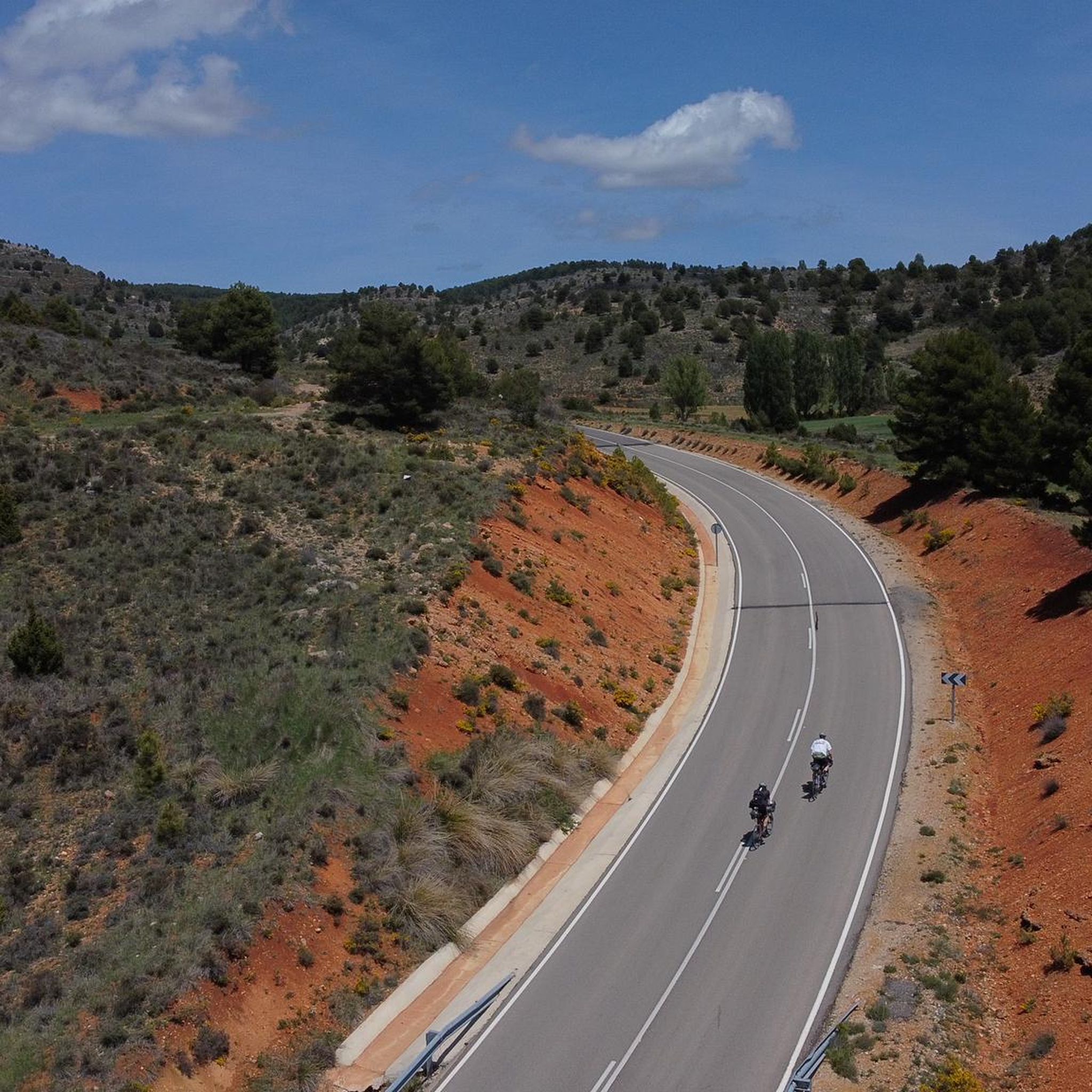
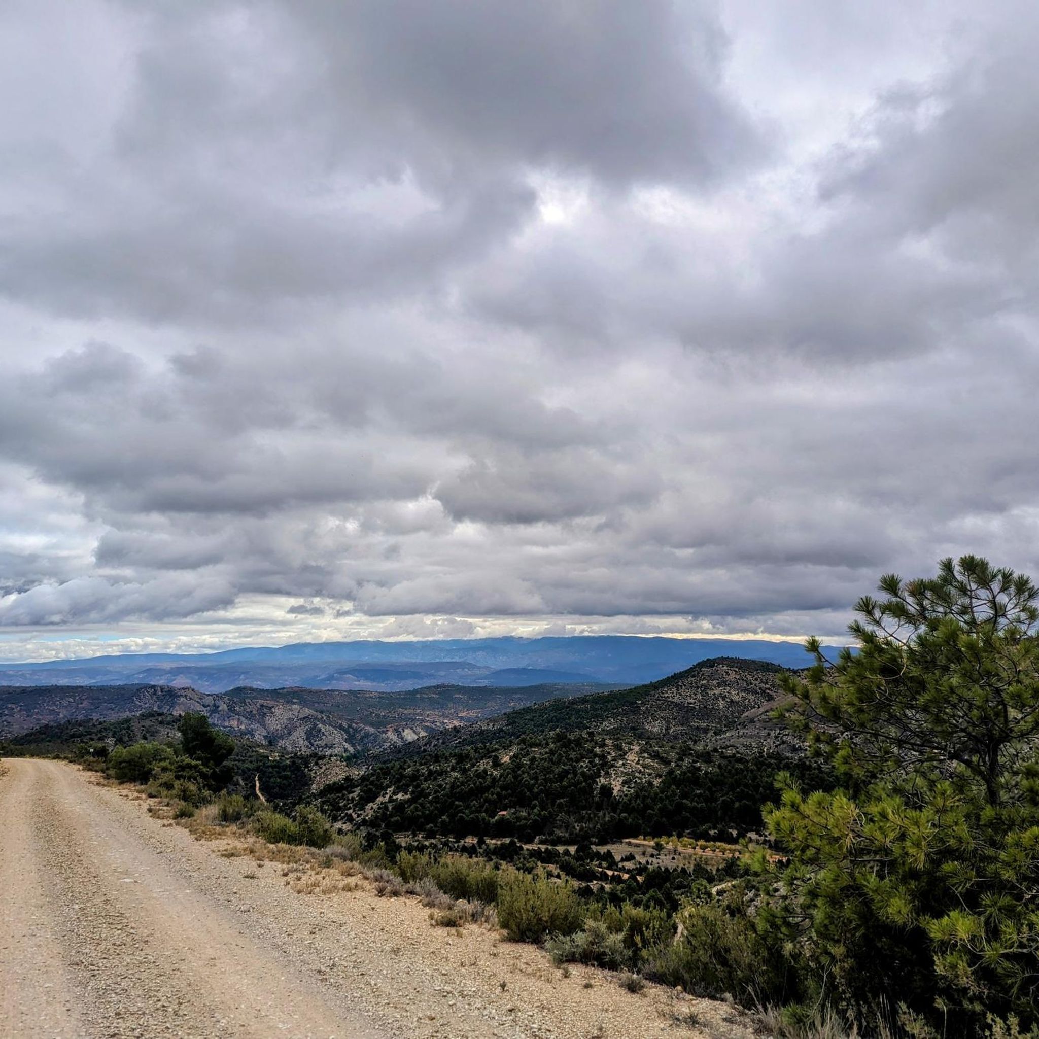
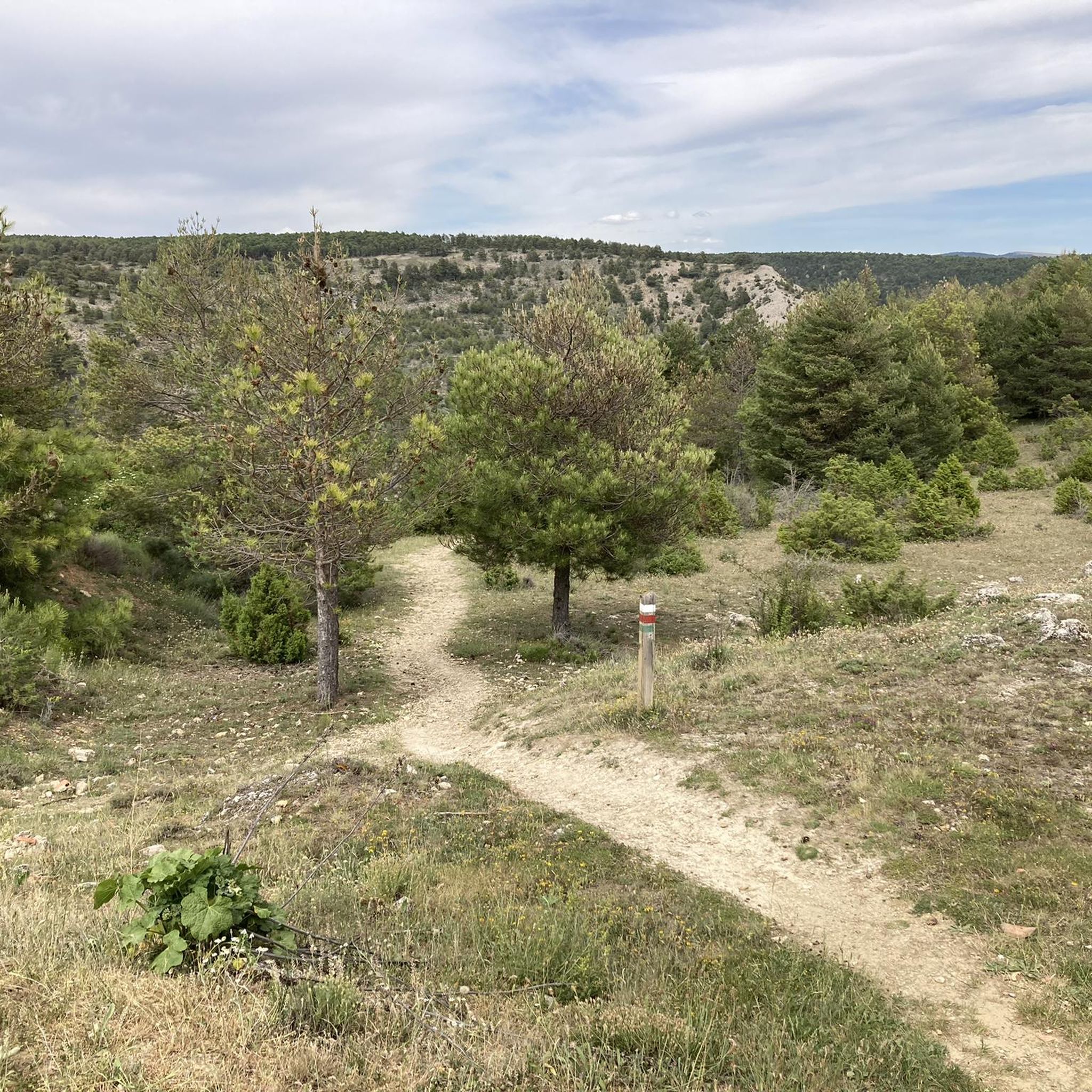
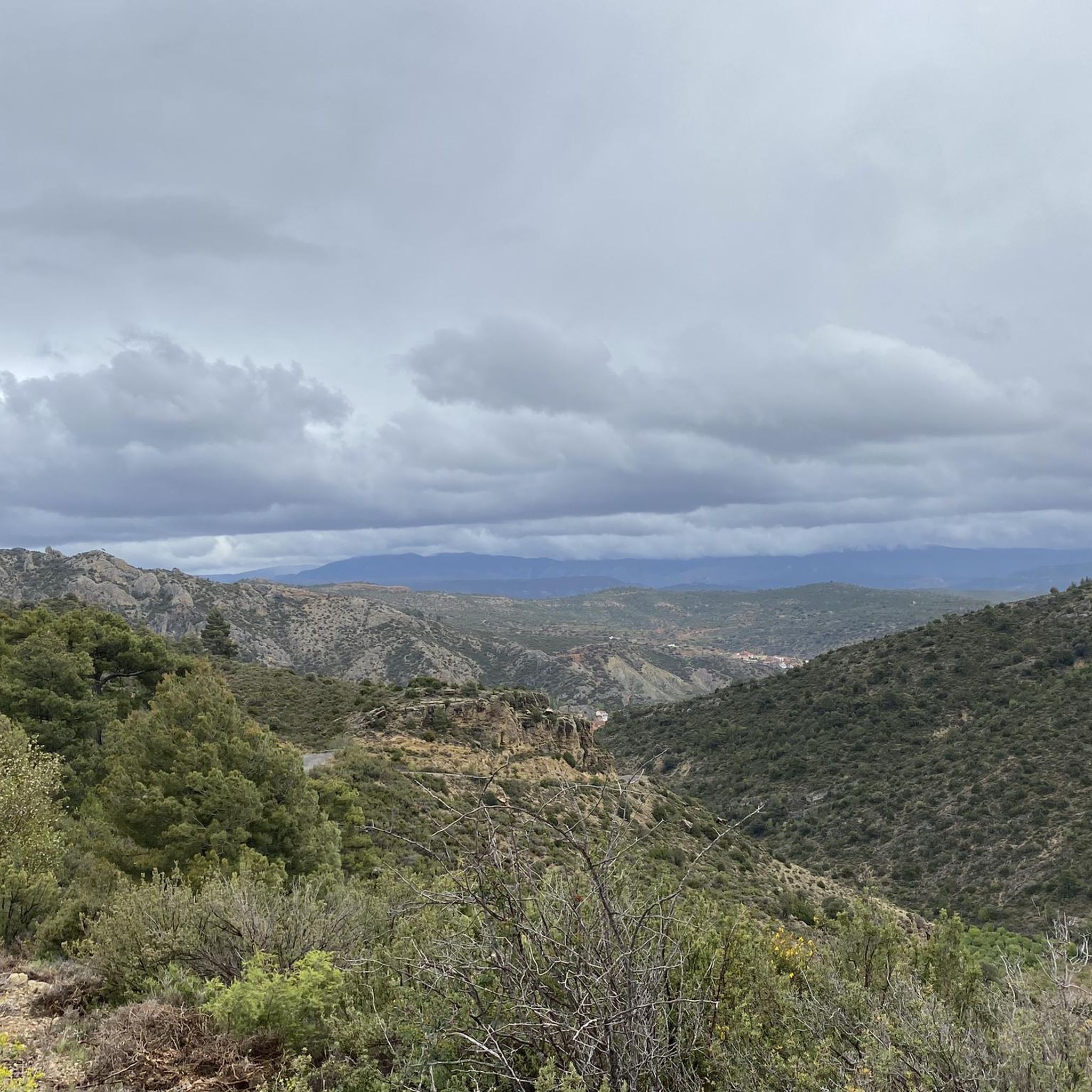
Other adventures around Salvacañete

Tips from the Community

Viewpoint of the Sierra de Albarracín.
0
0

The route descends from the CU-V-5003 road to the Algarra River, offering glimpses of it from within the valley. Along paths parallel to the river, you'll see orchards, tree plantations, and riverside land, some of which is also visible from the access roads and sides of the CU-V-5003.
2
0

A small puddle that is under nature protection ;-)
0
0
Bezas Lagoon, located in the Sierra de Albarracín (Teruel province, Aragon), is a natural enclave of great beauty and ecological value. It is located very close to the village of Bezas, in an area of outstanding scenic value.
5
0

Former public washhouse in Huerta del Marquesado. Everything about our drinking water, especially access to clean drinking water, is explained in great detail.
0
0
Sculpture commemorating the victims of the plane crash on April 29, 1959. An Iberia Douglas DC-3 aircraft flying from Barcelona to Madrid deviated from its route due to a storm and crashed into the Pico del Telégrafo (peak of Collado Bajo) between the towns of Valdemeca and Huerta del Marquesado. On this flight, along with the 27 other people traveling on the plane, Spanish gymnast Joaquín Blume lost his life. He was one of Spain's most popular athletes of his time, world champion in 1957 and winner of several consecutive Spanish championships. His wife also died. The rescue of the victims proved extremely difficult. It was snowing when the first people arrived at the scene, some reforestation workers. During the lengthy operation to recover the bodies, it snowed intermittently throughout the night and into the next day. Chronicles describe Dantesque scenes, as almost all of the victims of the accident were scattered over a vast and completely forested area. The notoriety of the prominent victim, Joaquín Blume, made it impossible for the Franco dictatorship to cover up the accident. An interesting fact surrounding this event is that a certain Antonio Fraguas de Pablo (1942–2018) missed the plane, fortunately for him and for us. The then 17-year-old later became very famous as a Spanish graphic humorist/cartoonist under the pen name Forges. He was awarded the Gold Medal for Merit to His Work in 2007, the Gold Medal for Merit to Fine Arts in 2011, and the Ondas Mediterráneas Award in 2011. www.forges.com
0
0

Beautifully situated, forest path easy to ride with a gravel bike.
0
0
The Cascada de la Herrería is a natural gem located in the Sierra de Albarracín, near the town of El Vallecillo. This beautiful waterfall, also known as the “Hidden Waterfall,” has a drop of approximately 8 meters over the Cabriel River. To reach the waterfall, you can follow a hiking route that begins in El Vallecillo. The route is short, just half a kilometer, and takes you through a varied and picturesque landscape. During the walk, you will also be able to see the natural springs known as the Ojos del Cabriel, which feed the river and the waterfall.
6
0
Frequently Asked Questions
What kind of terrain and difficulty can I expect on touring cycling routes around Salvacañete?
Touring cycling routes around Salvacañete are generally considered difficult, offering a blend of challenging and scenic experiences. The terrain is characterized by the stunning geology of the Iberian System, featuring extensive forests, rivers, ravines, and dramatic rock formations. You'll encounter unique karst landscapes, deep gorges carved by waterways, and lush riverside trails.
Are there any touring cycling routes that feature waterfalls or rivers?
Yes, the region around Salvacañete is rich in water features. Many routes follow riverbanks and lead to impressive waterfalls. For example, the route Empty Mountains - circular via the Zafrilla river and the Cabriel waterfalls - gravel specifically explores the Zafrilla river and Cabriel waterfalls. You can also find highlights like the Herrería Waterfall, San Pedro Mill Waterfall, and Calicanto Waterfall along various paths.
Are there any circular touring cycling routes available in Salvacañete?
Yes, several touring cycling routes around Salvacañete are circular. A popular option is Empty Mountains - circular via the Zafrilla river and the Cabriel waterfalls - gravel. Another favorite is Bar La Pulga – Cañete loop from Salvacañete, which takes you through the Cañete area. For a different starting point, consider the Calipuente loop from Alcalá de la Vega.
What are some notable landmarks or natural features to look out for while cycling in the area?
The region is known for its unique geological formations and natural beauty. Cyclists can discover whimsical karst landscapes, similar to the 'Ciudad Encantada,' and the sources of significant rivers like the Júcar and Cuervo. Specific highlights include the Ojos del Cabriel (source of the Cabriel River) and the dramatic Gorges of the Ebrón River. You'll also pass through immense forests that are particularly vibrant in autumn.
What is the best time of year to go touring cycling in Salvacañete?
The Serranía de Cuenca, where Salvacañete is located, boasts immense forests that display a spectacular array of colors, especially vibrant in autumn with greens, yellows, and ochres. This suggests autumn could be a particularly scenic time for touring cycling. Spring also offers pleasant temperatures and lush landscapes.
Are there any family-friendly touring cycling routes around Salvacañete?
While many of the listed touring cycling routes around Salvacañete are rated as difficult, the broader Cuenca province offers routes catering to various fitness levels. For families, it's advisable to look for routes specifically designed for easier cycling or consider e-bikes to navigate the challenging terrain and elevations typical of the region's karst landscapes and river valleys.
Can I bring my dog on touring cycling routes in Salvacañete?
The natural environment around Salvacañete, with its extensive forests and riverside trails, can be enjoyable for cycling with dogs. However, always ensure your dog is well-trained, on a leash where required, and capable of keeping up with the pace and difficulty of the route. Check local regulations for specific trails regarding dogs, especially in protected natural areas.
What amenities are available for cyclists in Salvacañete and the surrounding area?
The broader Cuenca region, which includes Salvacañete, is supportive of cyclists. You can often find services such as luggage transport and accommodations with secure bicycle storage. Many routes traverse charming, sparsely inhabited villages where you might find local cafes or places to rest and refuel.
Is public transport an option for accessing touring cycling routes near Salvacañete?
Information on specific public transport options for cyclists directly to trailheads in Salvacañete is limited. Generally, in rural areas of Spain, public transport can be less frequent and may have restrictions on carrying bicycles. It's often more practical to travel by car to access the starting points of these touring cycling routes, especially given their remote and natural settings.
Where can I park my car when starting a touring cycling route in Salvacañete?
While specific parking areas for each route are not detailed, given the rural nature of Salvacañete and its surrounding villages, you can typically find parking in or near the starting points of the routes. Look for designated parking areas in villages like Salvacañete, El Cubillo, or Casas de Garcimolina, or consider parking responsibly in suitable roadside spots where permitted and safe.
Are there any historical sites or traditional villages to explore along the cycling routes?
Beyond the natural beauty, touring cyclists can discover historical sites and traditional villages. For instance, the route Old Town of Moya – Dirt road to Moya loop from El Cubillo leads to the historic Old Town of Moya. These villages often preserve local culture, where practices like bread baking over firewood still exist, offering a glimpse into traditional Spanish life.
How long do the touring cycling routes typically take to complete?
The duration of touring cycling routes around Salvacañete varies depending on the specific path and your pace. For example, the Empty Mountains - circular via the Zafrilla river and the Cabriel waterfalls - gravel route, which is 34.7 miles (55.9 km), typically takes about 5 hours and 42 minutes. Another route, Old Town of Moya – Dirt road to Moya loop from Casas de Garcimolina, covering 32 miles (51.5 km), can be completed in approximately 3 hours and 10 minutes.
Most popular attractions around Salvacañete

Get inspired with the komoot mobile app


Explore more
Browse the best Cycling routes in other regions.
