The best road cycling routes around Calomarde
134
riders
10
rides
Road cycling around Calomarde, nestled in the Sierra de Albarracín, offers routes through a diverse natural landscape. The region features low-traffic roads with good asphalt, ideal for cycling through canyons, pine forests, and juniper savannas. Cyclists can expect challenging elevation gains and varied terrain, providing a rewarding experience. The area is characterized by its tranquil environment and unspoiled mountainous areas.
Best road cycling routes around Calomarde
- The most popular road cycling route is Bronchales Town Center – Orihuela del Tremedal…
Last updated: June 28, 2026
25
riders
47.4km
02:37
950m
950m
Hard road ride. Very good fitness required. Mostly well-paved surfaces and easy to ride.
25
riders
42.2km
02:00
530m
530m
Moderate road ride. Good fitness required. Mostly well-paved surfaces and easy to ride.

Sign up for free
12
riders
45.7km
02:27
840m
840m
Moderate road ride. Good fitness required. Mostly well-paved surfaces and easy to ride.
11
riders
132km
06:23
1,840m
1,840m
Hard road ride. Very good fitness required. Mostly well-paved surfaces and easy to ride.
7
riders
87.4km
04:33
1,510m
1,510m
Hard road ride. Very good fitness required. Mostly well-paved surfaces and easy to ride.
Get access to more routes and recommendations from other explorers.
Sign up for free
Already have an account?
Our route recommendations are based on thousands of hikes, rides, and runs completed by other people on komoot.
Start today with a free account
Your next adventure awaits.
Login or Signup

Tips from the Community

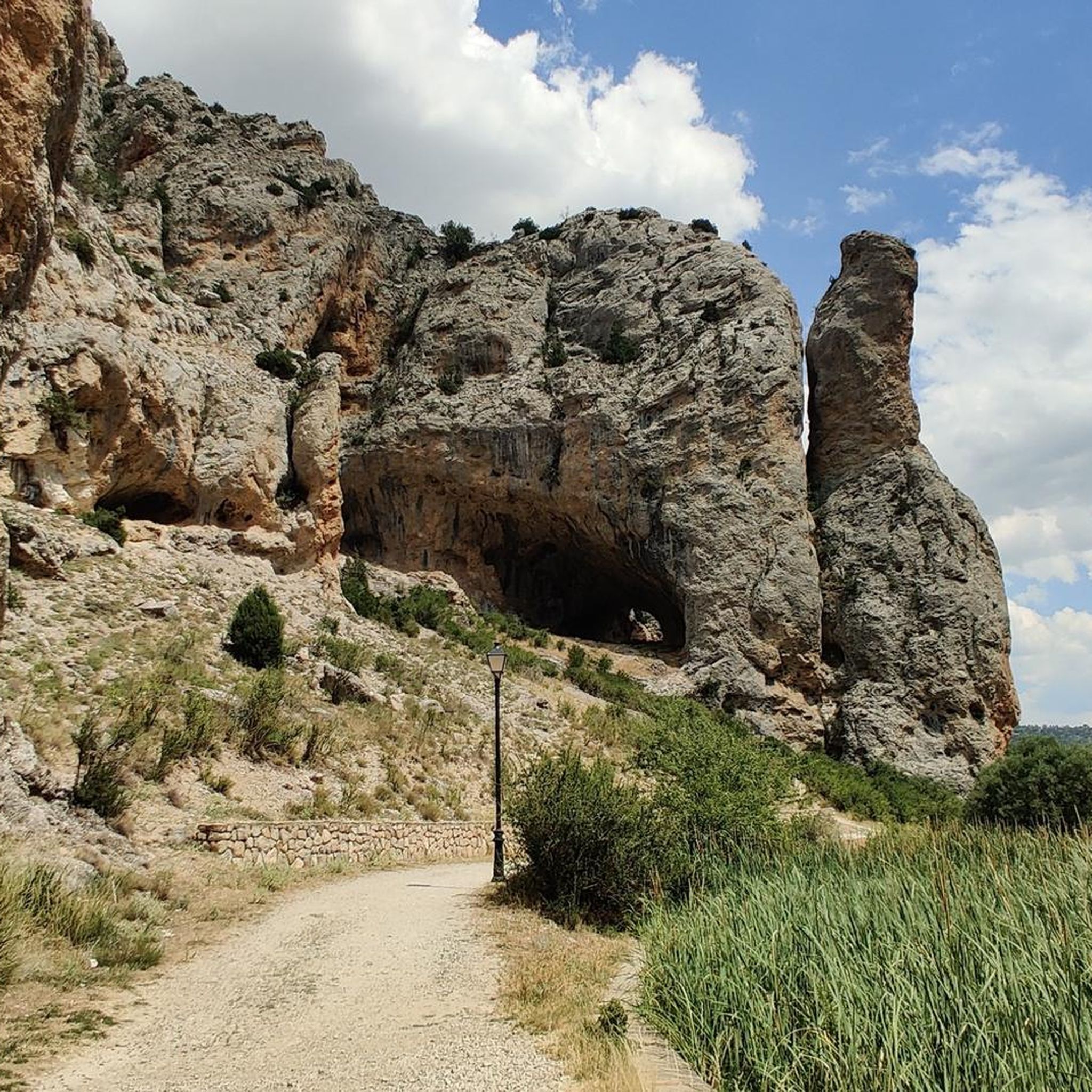
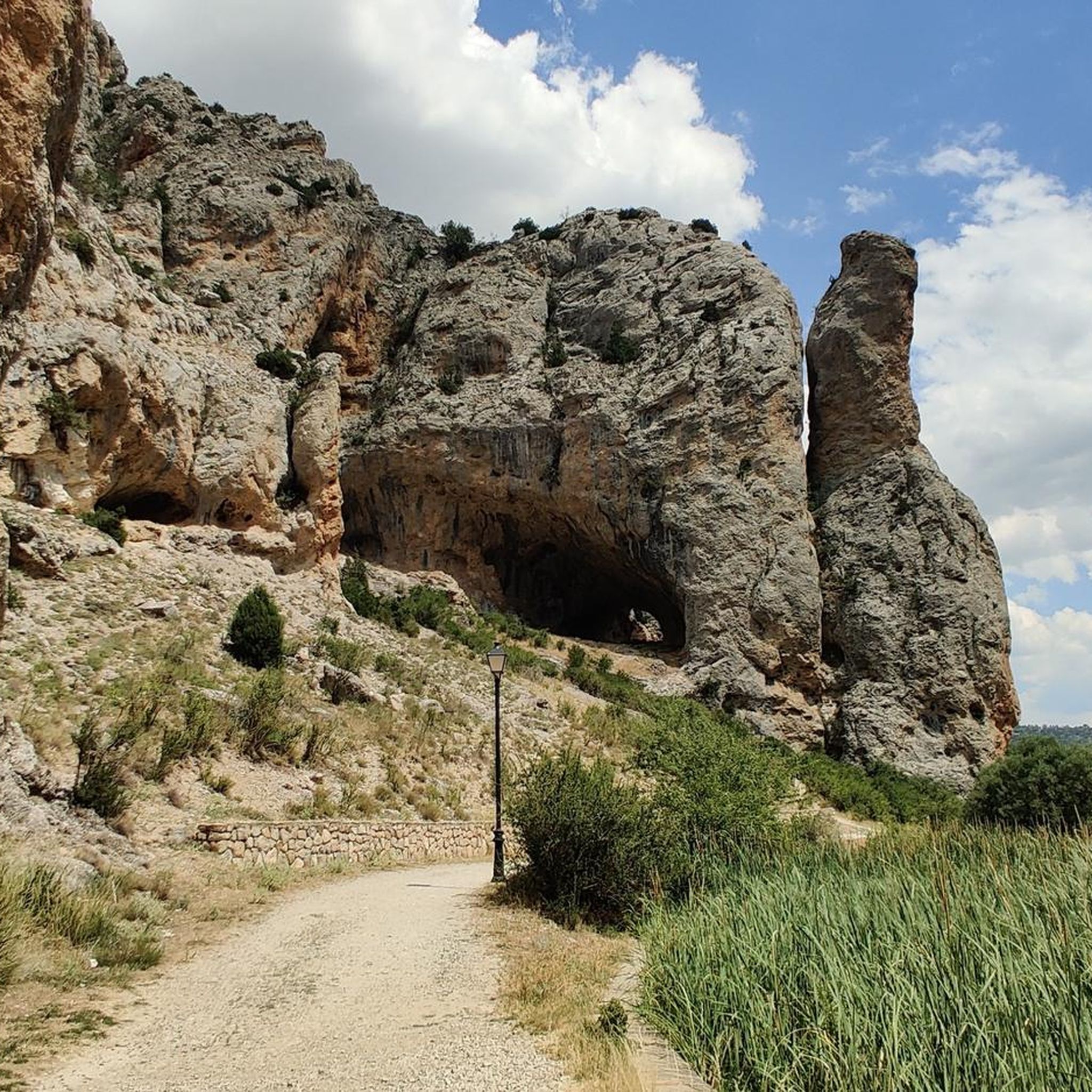
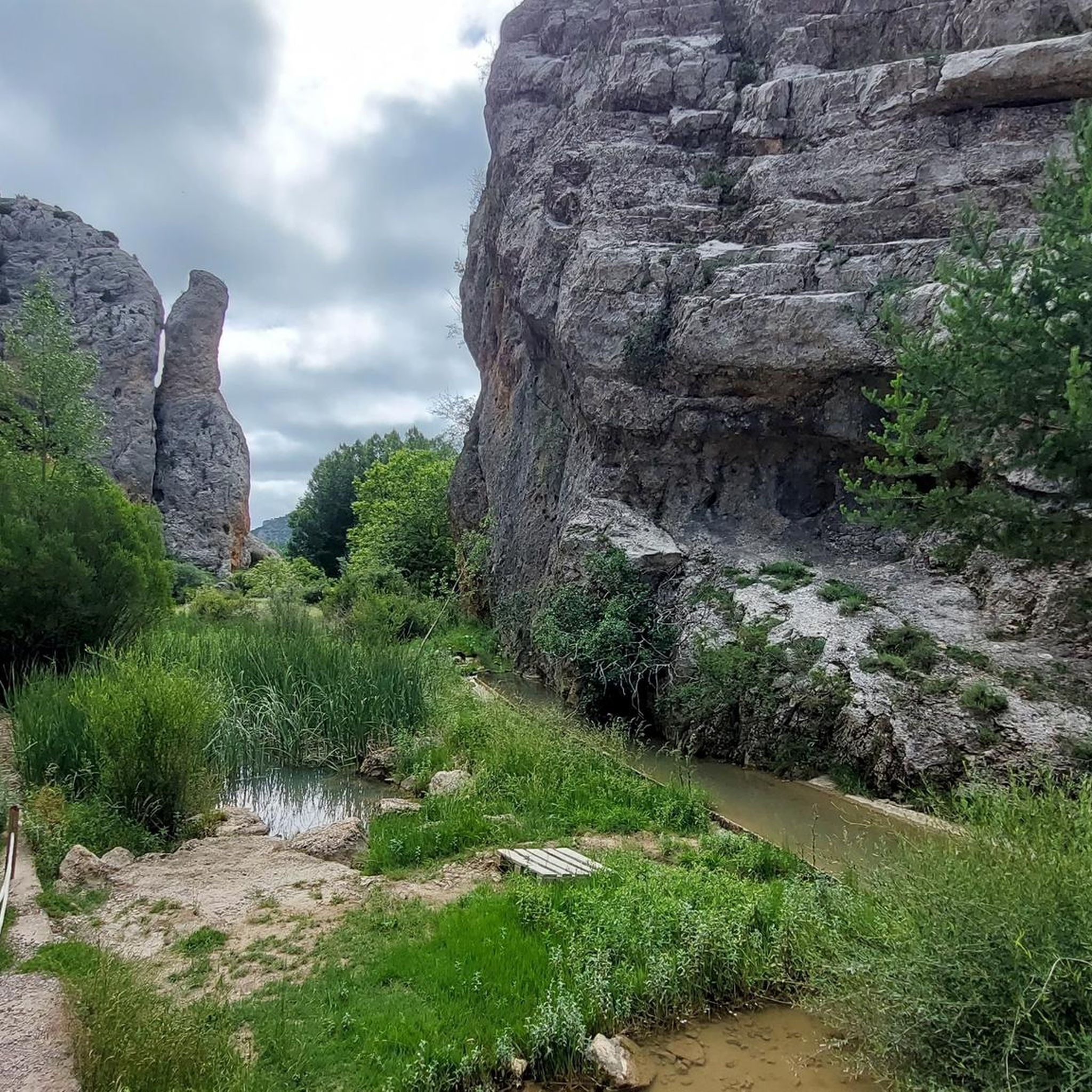
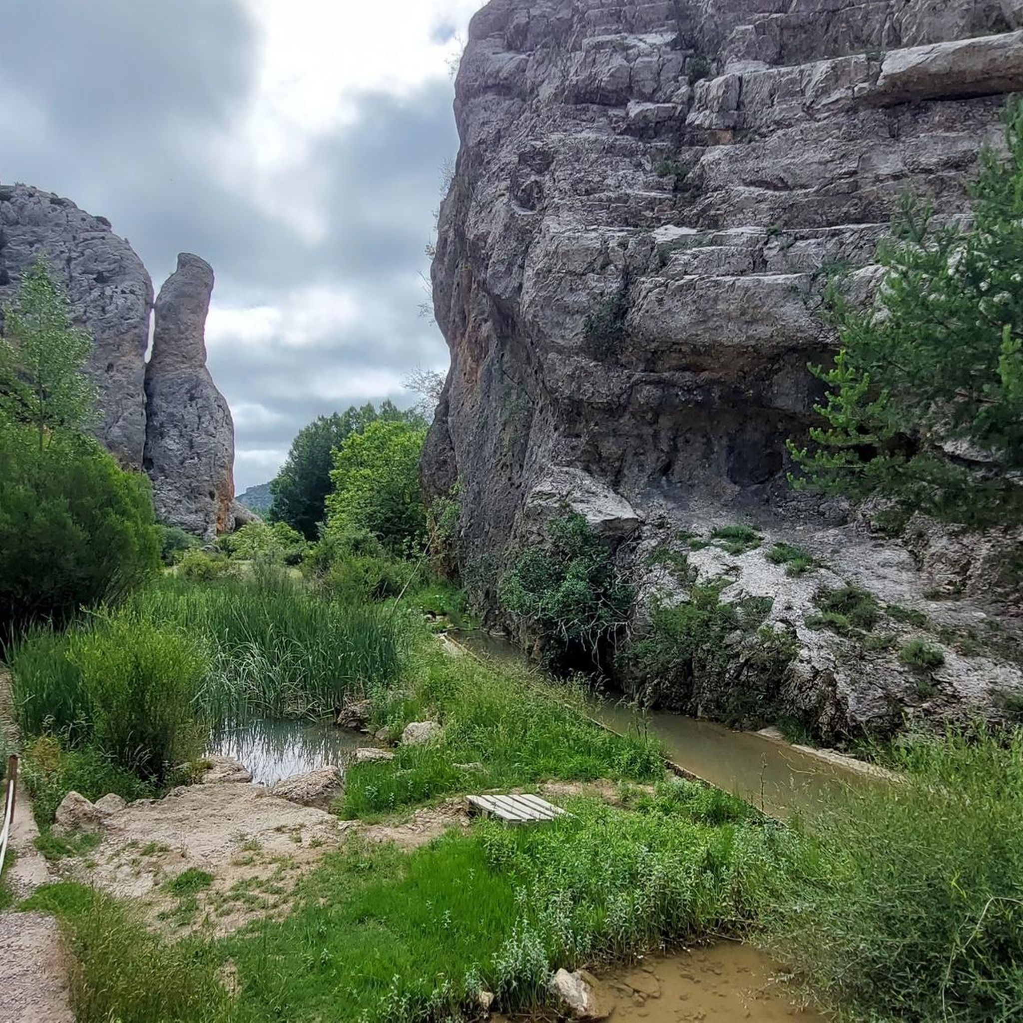
Beautiful asphalt road with a beautiful rock face towards a short gorge, with occasional possible stops
10
0

Viewpoint for the church offers a great view over the valley
0
0

The section of the A-1512 that starts in Albarracín and heads toward Noguera de Albarracín and Orihuela del Tremedal is known for its spectacular natural beauty. This route passes through gorges, dense pine and holm oak forests, and areas of outstanding scenic value such as the Tremedales de Orihuela, with unique features such as rocky rivers and peat bogs.
1
0
The official source of water is located at Fuente de García, in the Montes Universales, within the municipality of Frías de Albarracín (Teruel). It is located at an altitude of approximately 1,590 meters, surrounded by pine forests and high mountain meadows. Access is very easy and well signposted. Take the A-1704 highway, which connects Frías de Albarracín with Huélamo (Cuenca). From the highway, a paved detour of approximately 2 km takes you directly to the recreational area and the monument. There is free parking next to the monument.
10
0
Access is very easy and well signposted. Take the A-1704 highway, which connects Frías de Albarracín with Huélamo (Cuenca). From the highway, a paved detour of approximately 2 km takes you directly to the recreational area and the monument. There is free parking next to the monument.
5
0
The official source is located at Fuente de García, in the Montes Universales, within the municipality of Frías de Albarracín (Teruel). It is located at an altitude of approximately 1,590 meters, surrounded by pine forests and high mountain meadows.
5
0

It is a reference to the place where the longest river in Spain originates, stretching over 1,000 km and flowing into neighboring Portugal. These statues symbolize this point in the Albarracín mountain range.
8
0

Perfectly natural in a beautiful location.
4
0
Frequently Asked Questions
How many road cycling routes are available around Calomarde?
There are over a dozen dedicated road cycling routes around Calomarde, offering diverse experiences through the Sierra de Albarracín. These routes cater to various skill levels, with options for both moderate and difficult rides.
What kind of terrain and landscapes can I expect on road cycling routes in Calomarde?
Road cycling in Calomarde offers a varied and scenic experience. You'll encounter dramatic canyons carved by rivers like the Río Blanco, extensive pine forests, and juniper savannas. The region is known for its challenging elevation gains and breathtaking views, with low-traffic roads and good asphalt making for a peaceful ride through unspoiled mountainous areas.
Are there challenging climbs for experienced road cyclists in the Calomarde area?
Yes, the Calomarde area is well-suited for experienced road cyclists looking for a challenge. Many routes feature significant elevation gains and mountainous terrain. For instance, the El Cubillo Pass – Forest House Refuge loop from Terriente is a difficult 102.9 km path with substantial elevation, and the El Cubillo Pass – Forest House Refuge loop from Royuela covers 132.2 km with over 1800 meters of ascent.
Can I find circular road cycling routes around Calomarde?
Yes, many of the road cycling routes around Calomarde are designed as loops, allowing you to start and finish in the same location. Examples include the Bronchales Town Center – Orihuela del Tremedal loop from Tramacastilla and the Puerto del Portillo – Forest House Refuge loop from Villar del Cobo, which offer rewarding circular journeys through the region's stunning landscapes.
What natural landmarks or scenic viewpoints can I see along the road cycling routes?
The Calomarde area is rich in natural beauty. You can expect to cycle past impressive features like the dramatic canyons of the Río Blanco and the Barranco de la Hoz. Keep an eye out for the striking Moricacho of the Gorge, a massive rock formation at the entrance to Barranco de la Hoz. Other highlights include the Barranco Mingo Marco and the Sierra Alta Summit, offering panoramic views.
Are there any waterfalls accessible by road bike in the Calomarde area?
While most road cycling routes focus on the scenic roads, the region is home to beautiful natural features. The Cascadas Batida (Molino Viejo Waterfall) is a renowned waterfall in the area, easily accessible from the road and known for its splendid cascade and unique geological formations. While not directly on a cycling route, it's a worthwhile stop nearby.
What is the best time of year for road cycling in Calomarde?
The Sierra de Albarracín, where Calomarde is located, generally offers pleasant conditions for road cycling during spring, early summer, and autumn. These seasons typically provide milder temperatures and less extreme weather, making the challenging climbs and long distances more enjoyable. Always check the local weather forecast before heading out.
Are there any family-friendly road cycling options around Calomarde?
While many routes in Calomarde feature challenging elevation gains, the region's low-traffic secondary roads can be suitable for families with older children or those comfortable with longer distances and some climbing. There are no specifically 'easy' routes listed, but exploring quieter sections or shorter loops might be an option for families seeking a less strenuous experience. Always assess the route's difficulty and elevation profile carefully.
Is parking available for cyclists in Calomarde?
Yes, Calomarde and the surrounding villages often have designated parking areas, especially near popular trailheads or points of interest. Given the region's focus on outdoor activities, you can typically find suitable parking to start your road cycling adventure. It's advisable to check specific starting points for routes for detailed parking information.
What are the typical difficulty levels for road cycling routes in Calomarde?
The road cycling routes around Calomarde primarily cater to moderate and difficult skill levels. Out of the available routes, 4 are classified as moderate, and 9 are considered difficult. This indicates that cyclists should be prepared for significant climbs and varying terrain, making it an ideal destination for those seeking a rewarding physical challenge.
What makes the road cycling experience in Calomarde unique compared to other regions?
Calomarde stands out for its combination of stunning natural landscapes and excellent cycling conditions. The region boasts low-traffic roads with good asphalt, allowing for peaceful rides through dramatic canyons, ancient pine forests, and juniper savannas. The challenging elevation gains are complemented by breathtaking views, offering an immersive experience in an unspoiled mountainous environment that is less crowded than more famous cycling destinations.
Most popular attractions around Calomarde

Get inspired with the komoot mobile app


Explore more
Browse the best Road cycling routes in other regions.
