The best walks and hikes around Frías De Albarracín
4.4
(159)
1,024
hikers
57
hikes
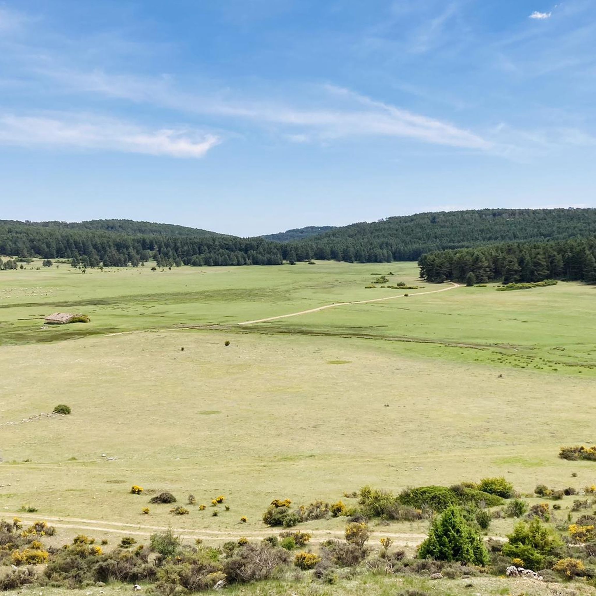
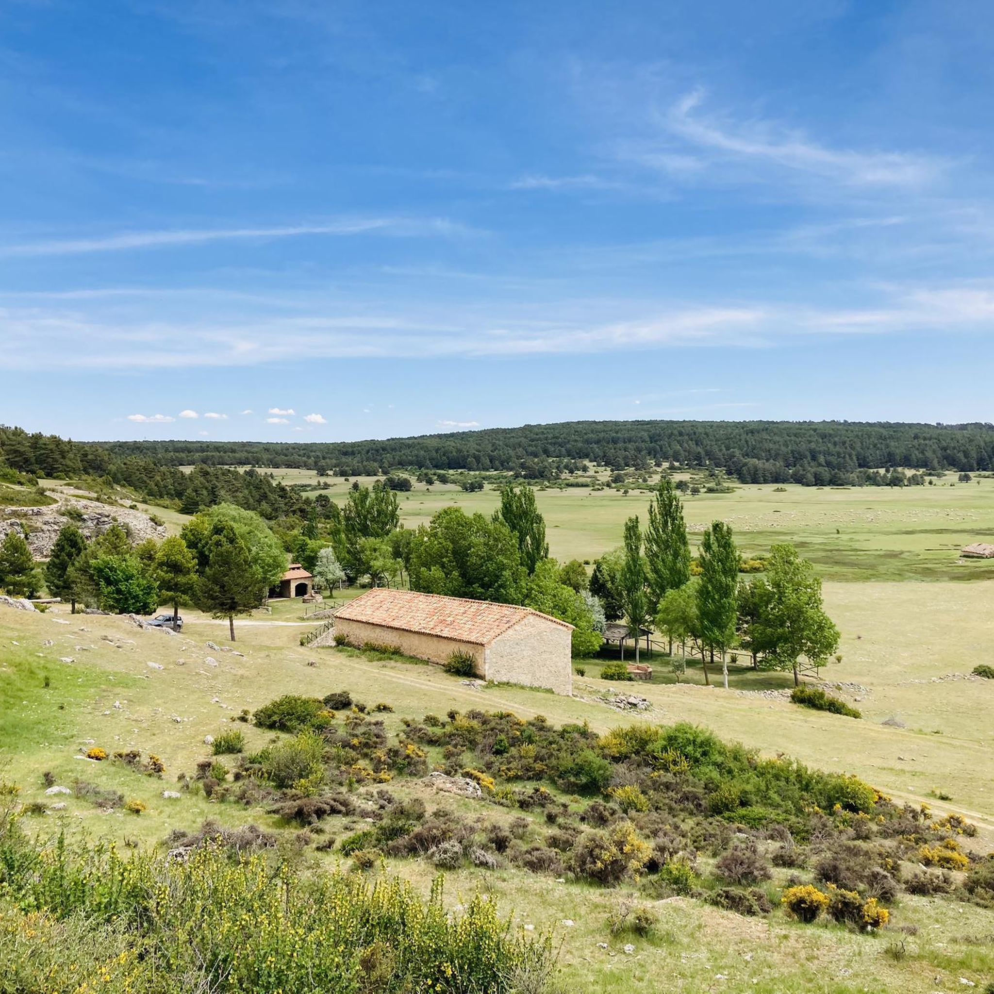
Hiking around Frías De Albarracín offers diverse topography, including extensive pine forests and significant rock formations. The region is situated at an altitude of 1,496 meters in the Sierra de Albarracín. A key natural attraction is the Nacimiento del Río Tajo, which originates within the municipality. Hikers can explore various trails that wind through these areas, offering panoramic viewpoints and access to numerous springs and waterfalls.
Best hiking trails around Frías De Albarracín
- The most popular hiking route is Ravine…
Last updated: July 7, 2026
4.8
(81)
442
hikers
7.25km
02:20
130m
130m
Moderate hike. Good fitness required. Mostly accessible paths. Sure-footedness required.
13.0km
03:37
240m
240m
Moderate hike. Good fitness required. Easily-accessible paths. Suitable for all skill levels.

Sign up for free
27.9km
07:40
460m
460m
Hard hike. Very good fitness required. Easily-accessible paths. Suitable for all skill levels.
4.6
(8)
86
hikers
Moderate hike. Good fitness required. Mostly accessible paths. Sure-footedness required.
4.8
(5)
23
hikers
16.4km
04:50
350m
360m
Moderate hike. Good fitness required. Mostly accessible paths. Sure-footedness required.
Get access to more routes and recommendations from other explorers.
Sign up for free
Already have an account?
Our route recommendations are based on thousands of hikes, rides, and runs completed by other people on komoot.
Start today with a free account
Your next adventure awaits.
Login or Signup

Tips from the Community

One of the many impressive suspension bridges in this gorge.
13
0
The suspension bridges give the route something special. The icing on the cake are the sections of suspension bridge in the tunnels, beautiful. During the week it's not busy, really enjoy this top tour.
12
0
Ruin.... the old mill has almost entirely returned to nature.
11
0
Striking point, many outcrops, imposing rock structures.
11
0
The hiking trails are not perfectly maintained, sometimes there are protruding pins, missing beams, or anchoring in the rocks is loose. If you take photos and look around, you might get dizzy.
11
0
This seven-to-nine-kilometer hike takes you past suspension bridges and waterfalls, with cliffs overlooking the road as you walk along a charming watercourse.
11
0
Calomarde lies between the cliffs and the river and offers an authentic, beautiful environment.
12
0

The official source of water is located at Fuente de García, in the Montes Universales, within the municipality of Frías de Albarracín (Teruel). It is located at an altitude of approximately 1,590 meters, surrounded by pine forests and high mountain meadows. Access is very easy and well signposted. Take the A-1704 highway, which connects Frías de Albarracín with Huélamo (Cuenca). From the highway, a paved detour of approximately 2 km takes you directly to the recreational area and the monument. There is free parking next to the monument.
10
0
Frequently Asked Questions
How many hiking trails are there in Frías De Albarracín?
There are over 50 hiking routes available around Frías De Albarracín, offering a wide range of options for different skill levels and preferences.
What is the general terrain and difficulty of hiking trails in Frías De Albarracín?
The terrain in Frías De Albarracín is diverse, featuring extensive pine forests, dramatic rock formations, and high-mountain waters. Trails range from easy paths to more challenging routes. Out of 50 routes, 9 are easy, 36 are moderate, and 5 are difficult, catering to various fitness levels.
Are there any circular hiking routes in Frías De Albarracín?
Yes, there are several circular routes. A popular moderate option is the Cerro Pozuelos and Fuente del Buey Loop, which takes you through pine forests and past rock formations. Another is the Barranco Mingo Marco – Tufa Bridge on the Río Blanco loop from Frías de Albarracín.
What natural attractions can I see along the hiking trails?
The region is rich in natural beauty. You can explore the Barranco Mingo Marco, discover waterfalls like the Herrería Waterfall and San Pedro Mill Waterfall, and visit the source of the Tajo River via the Frías de Albarracín - Birth of the Tajo River (PR-TE 2) trail. Other notable features include geological formations like Roca de la Hoz and the striking doline La Sima.
Are there family-friendly hiking options in Frías De Albarracín?
Yes, Frías De Albarracín offers 9 easy routes suitable for families. These paths often wind through pine forests and past springs, providing pleasant and accessible outdoor experiences for all ages.
What do other hikers enjoy most about hiking in Frías De Albarracín?
The area is highly rated by the komoot community, with an average score of 4.4 stars from over 120 reviews. Hikers often praise the diverse topography, the extensive pine forests, and the dramatic rock formations, as well as the well-maintained trails leading to natural landmarks like the Nacimiento del Río Tajo.
Is public transport available to reach hiking trailheads in Frías De Albarracín?
While Frías de Albarracín is a somewhat remote mountain village, local bus services connect it to larger towns in the Sierra de Albarracín. However, direct public transport to specific trailheads might be limited, so planning for personal vehicle use or local taxi services is advisable for accessing many routes.
Are there any permits required for hiking in Frías De Albarracín?
Generally, no specific permits are required for hiking on the established trails around Frías De Albarracín. However, it's always good practice to check for any local regulations or temporary restrictions, especially during fire season or for protected areas.
What is the best time of year to hike in Frías De Albarracín?
The best time for hiking in Frías De Albarracín is typically spring and autumn when temperatures are mild and the natural scenery is vibrant. Summer can be pleasant at this altitude (1,496 meters), but it's wise to start early to avoid the midday heat. Winter offers a different charm, though some higher trails might be affected by snow or ice.
Are there any historical or cultural points of interest along the trails?
Beyond natural beauty, the area offers glimpses into history. Some trails may lead past ancient Celtiberian settlements like El Castellar and Villar de Muelas, and even Civil War trenches on El Cuerno, providing a historical dimension to your hike.
Where can I find parking for hiking trails in Frías De Albarracín?
Parking is generally available within the village of Frías De Albarracín itself. For specific trailheads outside the village, look for designated parking areas or roadside pull-offs. It's recommended to check route descriptions for details on starting points and parking availability.
Can I bring my dog on the hiking trails in Frías De Albarracín?
Most hiking trails in Frías De Albarracín are dog-friendly, allowing you to enjoy the outdoors with your canine companion. However, always keep your dog under control, especially in areas with livestock or wildlife, and be mindful of local regulations regarding leashes. Remember to carry water for your dog, especially on longer routes.
Most popular routes around Frías De Albarracín
Most popular attractions around Frías De Albarracín

Get inspired with the komoot mobile app


Explore more
Browse the best Hikes in other regions.
