The best walks and hikes around Felanitx
4.3
(2424)
11,296
hikers
197
hikes
Hiking around Felanitx offers diverse landscapes, from picturesque hills and sprawling countryside vineyards to rugged terrain. The region lies at the foot of the Serres de Llevant mountain range, providing extensive hiking opportunities. Its eastern coastline features golden coves, natural paths through pine forests, and rocky sections. Notable landmarks like Sant Salvador Monastery and Castell de Santueri are often integrated into the trail network.
Best hiking trails around Felanitx
- The most popular hiking route is Sanctuary of Sant Salvador – Creu d'Es Picot loop from Felanitx, an easy 3.5 miles (5.6 km) trail that takes 1 hour 51 minutes to complete. This route offers panoramic views from the Sant Salvador monastery.
- Another top favourite among local hikers is Cala Mitjana – View of Sa Roqueta Rock Arch loop from Cala d'Or, a moderate 6.8 miles (11.0 km) path. This route explores coastal landscapes with views of rock formations.
- Local hikers also love the Portocolom Harbour – Portocolom Harbour loop from Tancat de sa Torre, a 6.9 miles (11.0 km) trail leading through coastal areas around the harbour, often completed in about 2 hours 53 minutes.
- Hiking around Felanitx is defined by picturesque hills, coastal paths, and pine forests. The network offers options for various ability levels, from easy strolls to more challenging ascents.
- The routes in Felanitx are highly rated by the komoot community with an average score of 4.4 stars from over 2000 reviews. More than 10,000 hikers have used komoot to explore Felanitx's varied terrain.
Last updated: October 13, 2026
4.6
(279)
1,195
hikers
5.46km
01:50
270m
270m
Easy hike. Great for any fitness level. Easily-accessible paths. Suitable for all skill levels.
4.6
(107)
403
hikers
7.21km
01:55
70m
70m
Easy hike. Great for any fitness level. Easily-accessible paths. Suitable for all skill levels.

4.5
(110)
545
hikers
Moderate hike. Good fitness required. Easily-accessible paths. Suitable for all skill levels.
4.4
(70)
255
hikers
15.1km
04:50
470m
470m
Moderate hike. Good fitness required. Mostly accessible paths. Sure-footedness required.
4.5
(63)
221
hikers
Moderate hike. Good fitness required. Mostly accessible paths. Sure-footedness required.
Get access to more routes and recommendations from other explorers.
Already have an account?
Our route recommendations are based on thousands of hikes, rides, and runs completed by other people on komoot.
Start today with a free account
Your next adventure awaits.



Tips from the Community

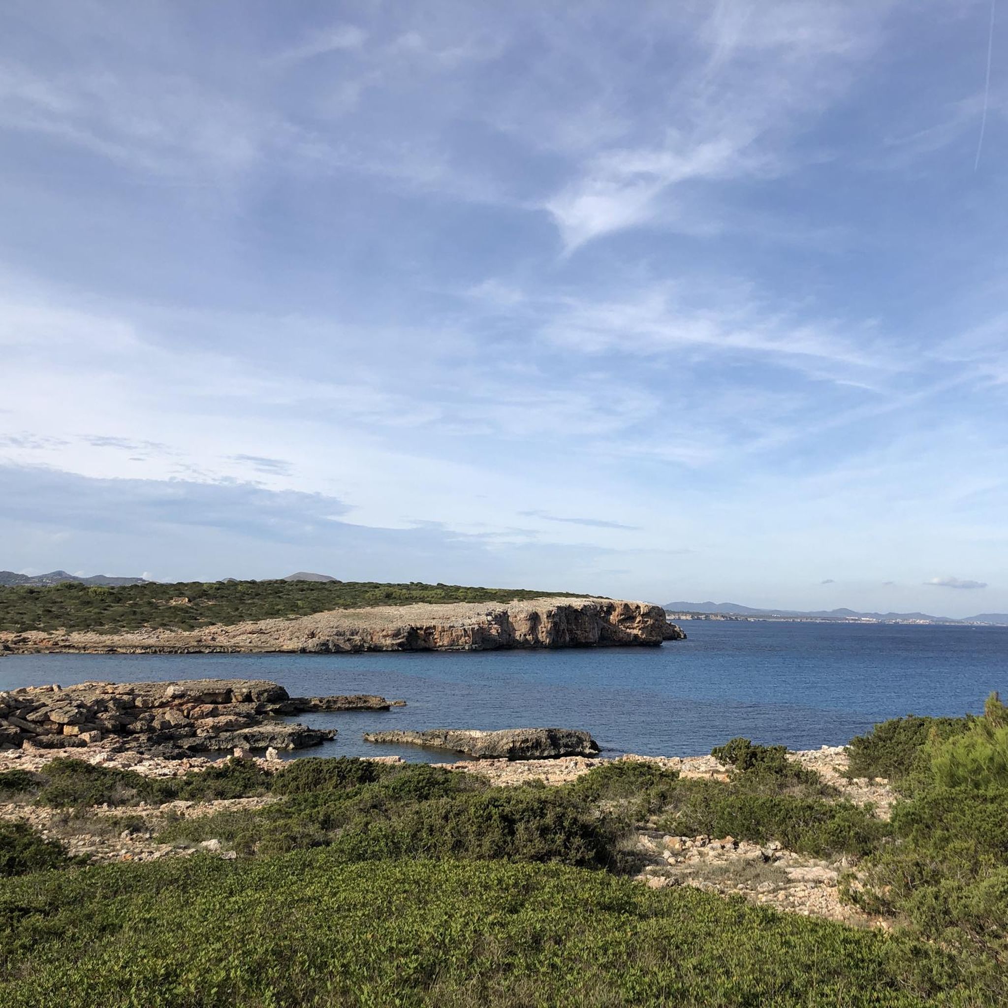
beautiful bay and nice hike from Cala sa Nau
0
0

Here you go down the stairs to one of the most beautiful beaches on the island
6
0
Meaning and purpose: It was erected as a religious monument to strengthen the faith of the inhabitants of Felanitx and to emphasize the spiritual significance of the mountain. It also serves as a widely visible landmark and viewing platform. Construction: The cross is about 14 meters high and is made of solid stone. It replaced earlier, simpler wooden crosses that had been destroyed at this exposed location by the elements. Location: It is located on the secondary summit of the mountain (the Picot), which can be reached by a short footpath from the monastery car park. Experience: From the foot of the cross, you have one of the best 360-degree views of Mallorca, stretching from the island of Cabrera in the south, across the Tramuntana mountains, to the bay of Alcúdia in the north.
8
0
Here from the monastery gates there is the possibility to get drinking water
12
0

You have to look carefully, because the big resorts act like you are on private property. But that is not the case. All beaches are public. Sometimes there are very small passages.
0
0
We came from Cala D’or, which brought us to Sanau Bay. Where we could have a drink and go to the toilet. You should not do this in flip-flops but in sturdy shoes, the rocks are sharp and jagged.
3
0
Fantastic walk over the rocks to Cala Sanau. Wear sturdy shoes. The toes are sharp and slippery in places. From Cala Gran a nice walk. On the beach of Sanau there is a var where you can have a nice cool drink and they have toilets!
1
1

For tired hikers, pilgrims, cyclists and simply all visitors, there is a drinking water fountain at the entrance to the mountain church where everyone can refresh themselves, just as visitors did hundreds of years ago.
3
0
Frequently Asked Questions
How many hiking trails are available around Felanitx?
Felanitx offers a wide variety of hiking experiences, with over 190 routes available. These range from easy strolls to more challenging ascents, catering to different fitness levels.
What types of landscapes can I expect to see while hiking in Felanitx?
You'll encounter diverse landscapes, from picturesque hills and sprawling countryside vineyards to the rugged terrain at the foot of the Serres de Llevant mountain range. The east coast also features stunning golden coves and natural paths through pine forests and rocky sections. The Parc Natural de Llevant adds unspoiled coastline and rolling rural valleys to the mix.
Are there any easy, family-friendly hikes in the area?
Yes, there are over 100 easy routes suitable for families. A great option is the Sanctuary of Sant Salvador – Creu d'Es Picot loop from Felanitx, an easy 3.5-mile (5.6 km) trail offering panoramic views from the Sant Salvador monastery. Another easy coastal walk is the Cala Estreta – Cala Sa Nau Beach loop from Cala Marçal.
What are some popular coastal hiking routes near Felanitx?
The region boasts a beautiful east coast with numerous coves. The Cala Estreta – Cala Sa Nau Beach loop from Cala Marçal is a popular easy path exploring scenic coastal coves and beaches. For a slightly more challenging coastal experience, consider the Cala Mitjana – View of Sa Roqueta Rock Arch loop from Cala d'Or, which offers views of unique rock formations.
Are there any challenging hikes for experienced trekkers?
While many routes are easy or moderate, the region does offer more challenging ascents, particularly in the Serres de Llevant mountain range. For instance, the Trail to Sant Salvador – View from Sant Salvador loop from Felanitx is a moderate 9.4-mile (15.2 km) route with significant elevation gain, leading to the Santuari de Sant Salvador.
What are the best times of year to go hiking in Felanitx?
Felanitx is enjoyable for hiking throughout much of the year. Spring (March-May) and autumn (September-November) offer pleasant temperatures and lush landscapes. Even in winter, the mild climate can be suitable for hiking. Summers can be hot, so early morning or late afternoon hikes are recommended, especially for coastal routes where you can combine your walk with a swim.
What interesting landmarks or viewpoints can I find on hikes around Felanitx?
Many routes lead to spectacular viewpoints and historical sites. The most famous is the Santuari de Sant Salvador, perched atop Puig de Sant Salvador, offering panoramic views across the island. You can also explore the medieval Castell de Santueri or discover natural formations like the Cova des Pont Natural Rock Arch.
Are there any circular hiking routes available?
Yes, many of the trails around Felanitx are circular, allowing you to start and end at the same point. Examples include the Sanctuary of Sant Salvador – Creu d'Es Picot loop from Felanitx and the Portocolom Harbour – Porto Colom Harbor loop from Cala Marçal, which explores the scenic harbor area.
What do other hikers say about the trails in Felanitx?
The hiking routes in Felanitx are highly regarded by the komoot community, with an average rating of 4.4 stars from over 1900 reviews. Hikers often praise the diverse scenery, from mountain vistas to beautiful coastal paths, and the well-maintained trails that cater to all abilities.
Can I find refreshments or facilities along the trails?
While many trails are in natural settings, some popular destinations offer facilities. For example, the Santuari de Sant Salvador at the summit of Puig de Sant Salvador has a restaurant and other amenities. For coastal walks, towns like Portocolom and Cala d'Or offer various cafes and restaurants near the trailheads.
Is it possible to reach trailheads using public transport?
Felanitx town itself is accessible by public transport. From there, some trailheads, particularly those starting directly from the town, can be reached on foot. For routes further afield, it's advisable to check local bus schedules or consider car rental for more flexibility in accessing specific starting points.
Are there any unique natural features to explore?
Beyond the stunning coastline and mountain ranges, you can discover unique geological formations. An easy walk outside Felanitx leads through an abandoned marés stone quarry, offering an 'otherworldly landscape' with tunnels, caves, and secret hideaways.
Most popular attractions around Felanitx

Get inspired with the komoot mobile app


Explore more
Browse the best Hikes in other regions.
