The best walks and hikes around Cereceda De La Sierra
4.6
(231)
1,313
hikers
59
hikes
Hiking around Cereceda De La Sierra offers access to the diverse landscapes of the Sierra de Francia Natural Park. The region features mountainous terrain covered in oak, chestnut, and pine forests, alongside rivers and waterfalls. Trails often lead through valleys and past cultivated slopes, providing varied natural features for exploration.
Best hiking trails around Cereceda De La Sierra
- The most popular hiking route is Water Trail, a 4.2 miles (6.7 km) trail that takes 2 hours 4 minutes to…
Last updated: July 1, 2026
4.7
(23)
138
hikers
11.1km
03:27
370m
380m
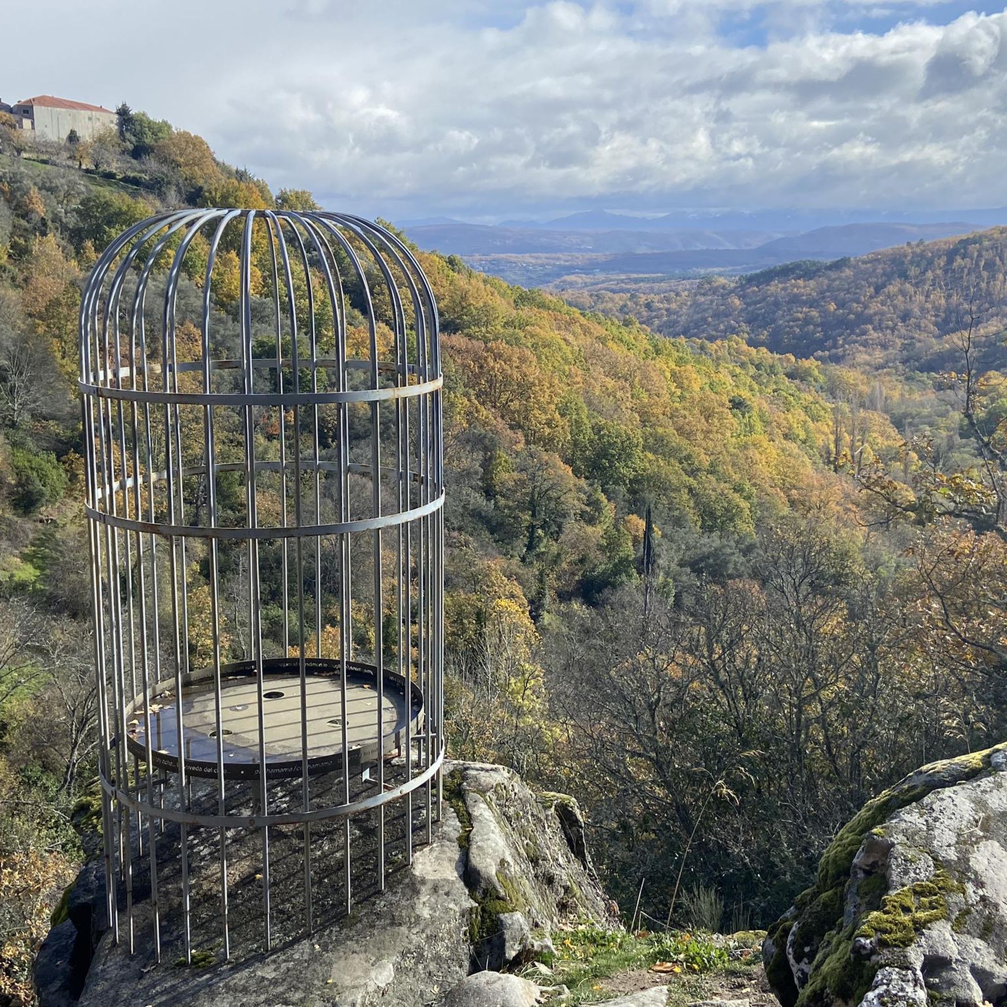
Hike the moderate 6.9-mile Asentadero-Bosque de los Espejos Trail, a scenic route through forests with unique Land Art installations.
5.0
(9)
42
hikers
Hard hike. Good fitness required. Sure-footedness, sturdy shoes and alpine experience required.

Sign up for free
4.8
(6)
17
hikers
8.18km
02:38
330m
330m
Moderate hike. Good fitness required. Mostly accessible paths. Sure-footedness required.
4.3
(3)
14
hikers
10.6km
03:02
260m
260m
Moderate hike. Good fitness required. Mostly accessible paths. Sure-footedness required.
10
hikers
Moderate hike. Good fitness required. Easily-accessible paths. Suitable for all skill levels.
Get access to more routes and recommendations from other explorers.
Sign up for free
Already have an account?
Our route recommendations are based on thousands of hikes, rides, and runs completed by other people on komoot.
Start today with a free account
Your next adventure awaits.
Login or Signup

Tips from the Community

Still in use this bullfighting arena, look for the lever in the stands with which the bullring door opens. Remarkable are the narrow escape gaps for very thin bullfighters😀
7
0
Nice walk around, impressive cemetery, the tower was closed, but the castle is usually open.
8
0
The name of the city refers to the repopulation efforts of Gascons who reached the Sierra de Francia in the Middle Ages. Names, place names and patron saints from that time can still be found in the villages of the region.
8
0
Beautiful path with mossy stones and trees.
10
0
Beautiful top with views and a restaurant run by modern monks.
0
0
Really such a top that stands out with over 1700 meters, offering a beautiful view all around.
12
0

It offers spectacular views over the Sierra de Francia, the Sierra de Béjar, the Campo Charro region, northern Cáceres, and even the Serra da Estrela in Portugal. You can drive up via the SA-203 road (from La Alberca or El Cabaco), although it is often closed due to snow in winter. There are also hiking trails, such as the GR-10, starting from La Alberca.
5
0
La Peña de Francia is one of the most emblematic places in the province of Salamanca, located in the Las Batuecas-Sierra de Francia Natural Park, within the municipality of El Cabaco, about 81 km from Salamanca and near La Alberca.
4
0
Frequently Asked Questions
How many hiking trails are available around Cereceda De La Sierra?
There are over 45 hiking trails around Cereceda De La Sierra. The network offers a wide range of options, including 12 easy routes, 24 moderate paths, and 10 more challenging trails, catering to various fitness levels and preferences.
What kind of terrain can I expect on hikes in Cereceda De La Sierra?
The terrain around Cereceda De La Sierra is predominantly mountainous, characterized by dense woodlands of oak, chestnut, and pine. You'll also find trails winding through river valleys, past cultivated slopes with vineyards and olive groves, and leading to panoramic viewpoints.
What is the best time of year to go hiking in Cereceda De La Sierra?
The region generally enjoys excellent weather for hiking. Autumn is particularly stunning, as the extensive oak and chestnut forests display vibrant colors. Spring also offers pleasant temperatures and lush greenery.
Are there easy hiking options suitable for beginners or families?
Yes, there are several easy routes. A notable family-friendly option is the 'Path of the Hundred-Year-Old Chestnut Trees' near La Alberca, which is a short, accessible 2 km trail through ancient chestnut forests. Another moderate option is the Water Trail, which is 6.7 km long and explores art installations in nature.
Are there challenging hikes for experienced trekkers?
Absolutely. For experienced hikers, routes leading to Peña de Francia offer significant challenges and rewarding panoramic views. Consider the Maillo - Peña de Francia Trail, a challenging 15.5 km route, or the Peña de Francia from El Casarito recreational area, which is 12.4 km long and also offers stunning vistas.
Can I find trails with waterfalls in the area?
Yes, the Sierra de Francia is home to picturesque rivers that create waterfalls. Trails in the region can lead you to natural features like the Meancera waterfall and the Chorro waterfall, offering beautiful natural sights.
Are there any circular hiking routes around Cereceda De La Sierra?
Yes, many routes in the region are circular. The Water Trail from Mogarraz is a moderate 6.7 km circular path. Another popular option is the Hiking loop from San Martín del Castañar, which is 7.9 km long.
What kind of natural attractions or landmarks can I see along the hiking trails?
Hiking trails often lead to diverse natural attractions. You can explore ancient chestnut forests, discover unique Land Art installations along routes like the Asentadero-Bosque de los Espejos Trail, or visit the spectacular Batuecas Valley with its isolated monastery and prehistoric paintings. You might also encounter highlights like Ascent to Peña de Francia or Cervero Peak.
Are there viewpoints with panoramic vistas on the hikes?
Many trails in the Sierra de Francia Natural Park offer breathtaking panoramic views. Hikes to Peña de Francia, the highest mountain in the area, provide expansive vistas. Viewpoints like La Antigua also offer spectacular sights of the surrounding natural beauty and mountainous landscape.
What do other hikers enjoy most about hiking in Cereceda De La Sierra?
The hiking routes in Cereceda De La Sierra are highly rated by the komoot community, with an average score of 4.5 stars from over 160 reviews. Hikers often praise the diverse mountainous terrain, the dense woodlands, and the well-maintained trails that lead through picturesque river valleys.
Is there parking available near the trailheads?
While specific parking details vary by trailhead, many popular hiking areas and villages in the Sierra de Francia Natural Park, such as those near recreational areas or traditional villages, typically offer designated parking facilities for hikers.
Can I combine hiking with exploring traditional villages?
Yes, the region is perfect for village-to-village hikes. Trails connect Cereceda De La Sierra to other traditional mountain villages like La Alberca, San Martín del Castañar, Mogarraz, and Miranda del Castañar. These routes often pass through woodlands and terraced cultivations, offering insights into local culture and architecture.
Most popular attractions around Cereceda De La Sierra

Get inspired with the komoot mobile app


Explore more
Browse the best Hikes in other regions.
