The best MTB trails around A Pobra De Trives
5.0
(1)
84
riders
22
rides
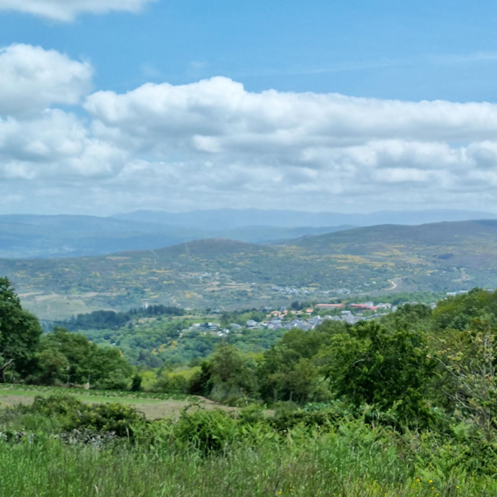
Mountain bike trails around A Pobra de Trives are set within a diverse and rugged natural landscape in the Galician region of Spain. The area features mountainous terrain, including peaks exceeding 1,500 meters, and deep valleys carved by the Navea, Bibey, and Sil rivers. Extensive forests and traditional chestnut groves contribute to the rich natural environment, offering varied terrain for mountain biking. This region provides a mix of challenging routes with significant elevation changes and paths through ancient woodlands.
Best mountain bike trails around A Pobra De Trives
- The most popular mountain bike trail is Ourense – Cabeza de Manzaneda – Altos das Malladas, a 19.2 miles (30.9 km) difficult trail that takes 3 hours 39 minutes to complete, featuring significant elevation changes towards Cabeza de Manzaneda.
- Another top favourite among local mountain bikers is Cabeza de Manzaneda Summit – Cabeza de Manzaneda Summit loop from Manzaneda, a difficult 18.7 miles (30.1 km) path. This route offers challenging climbs and panoramic views from the summit area.
- Local mountain bikers also love the Castillo de Torrenovaes loop from San Clodio-Quiroga, a 22.5 miles (36.2 km) trail leading through historical sites and river valleys, often completed in about 3 hours 30 minutes.
- Mountain biking around A Pobra de Trives is defined by mountainous terrain, river valleys, and extensive forests. The network offers options for different ability levels, including challenging routes with significant elevation gain.
- The routes in A Pobra de Trives are highly rated by the komoot community with an average score of 5.0 stars from 1 review. More than 90 mountain bikers have used komoot to explore A Pobra de Trives's varied terrain.
Last updated: July 4, 2026
1
riders
30.9km
03:39
1,130m
1,130m
Hard mountain bike ride. Very good fitness required. Advanced riding skills necessary. Some portions of the route may require you to push your bike.
20
riders
Hard mountain bike ride. Very good fitness required. Advanced riding skills necessary.

Sign up for free
5.0
(1)
6
riders
10.4km
01:09
320m
320m
Moderate mountain bike ride. Good fitness required. Suitable for all skill levels.
5
riders
83.3km
08:42
2,250m
2,250m
Hard mountain bike ride. Very good fitness required. Advanced riding skills necessary.
3
riders
71.1km
05:22
1,600m
1,600m
Hard mountain bike ride. Very good fitness required. Suitable for all skill levels.
Get access to more routes and recommendations from other explorers.
Sign up for free
Already have an account?
Our route recommendations are based on thousands of hikes, rides, and runs completed by other people on komoot.
Start today with a free account
Your next adventure awaits.
Login or Signup
Tips from the Community

In O Barco de Valdeorras there are several interesting murals that beautify the town. Mural by Orde Caos: In Praza das Airas, the artist Orde Caos has created a large mural that was inaugurated by the Centro Comercial Aberto (CCA) O Barco.
13
0

There is art on many buildings.
2
0


Here you can enjoy the mtb, brutal routes
2
0
The Manzaneda ski resort, also popularly called Cabeza de Manzaneda, is located in the eastern part of the province of Orense, a good place to disconnect in the middle of nature surrounded by all services.
9
0

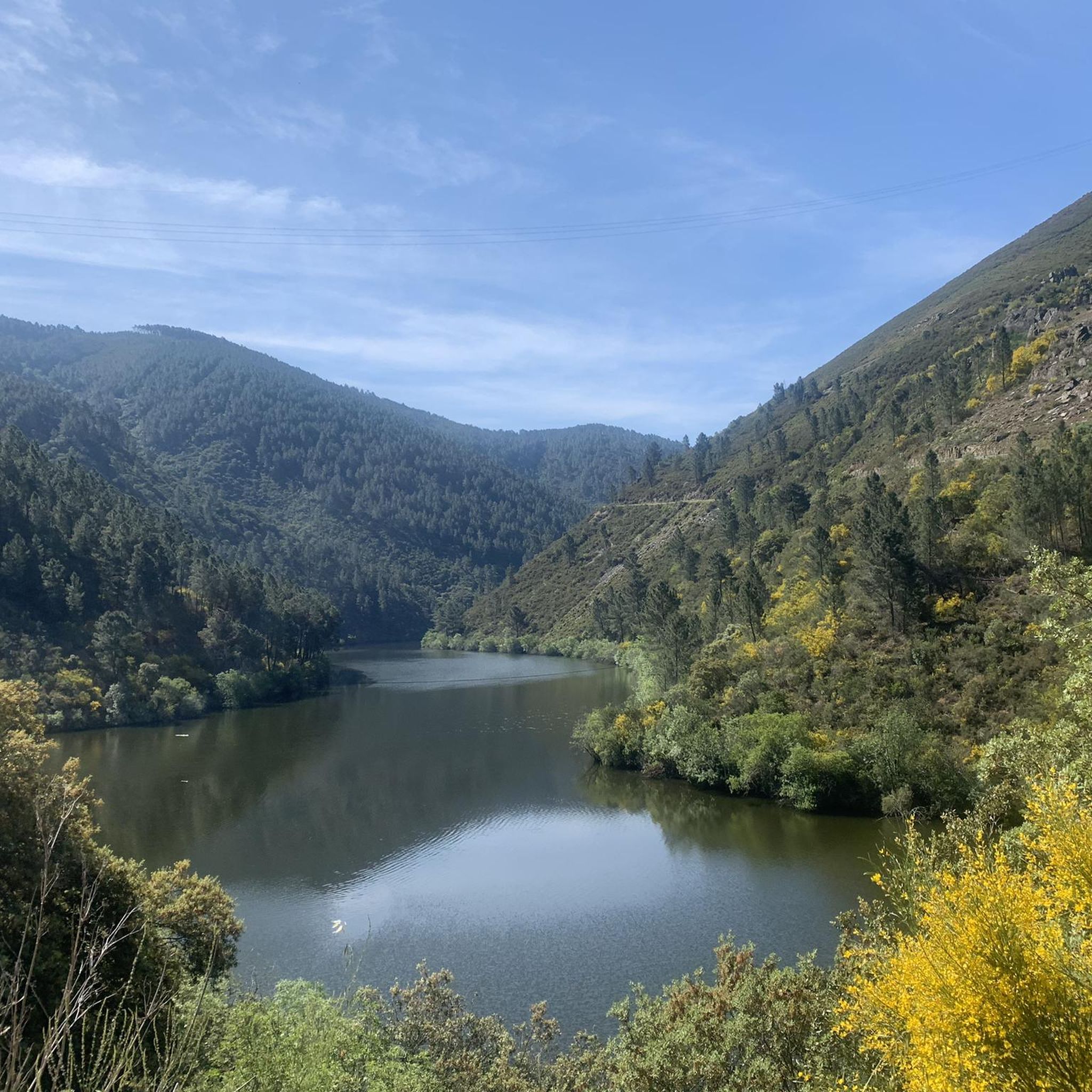
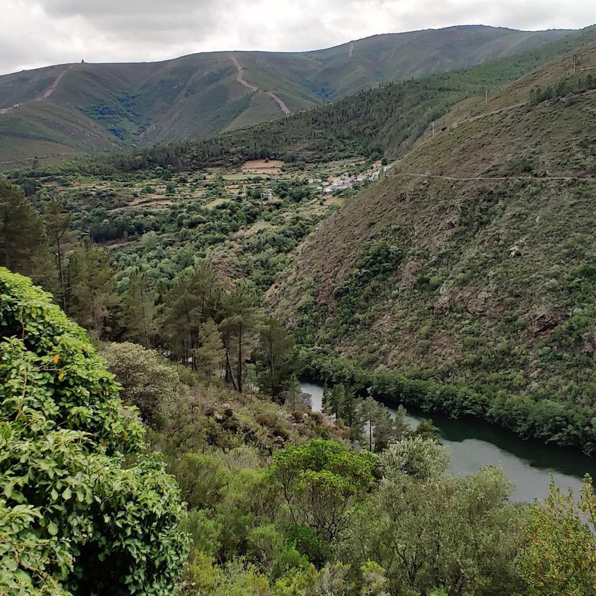
Cycling route next to the Sil river with views of the A Pincheira park. Quiet path to ride a bike and enjoy the outdoors surrounded by native Galician forest.
1
0
Hydroelectric dam near the town of Valencia do Sil. The dam traps the waters of the Sil River to produce electricity and prevent local flooding. You can cross the dam to link the two banks of the river.
2
0
El Pazo de Arnado or Castillo de Arnado is a manor house located in the municipality of Vilamartín de Valdeorras. El Pazo has views of the Sil river and the surrounding vineyards. Hoy en día is used for educational events and tourism.
1
0
Frequently Asked Questions
What kind of terrain can I expect on mountain bike trails around A Pobra de Trives?
The region offers a diverse and rugged natural landscape. You'll encounter mountainous terrain with peaks exceeding 1,500 meters in the Sierra de Queixa, deep valleys carved by the Navea and Bibey rivers, and extensive forests, including traditional chestnut groves. Expect significant elevation changes and varied surfaces, from challenging rocky sections to forest paths.
How many mountain bike trails are available in A Pobra de Trives?
There are over 20 mountain bike routes available around A Pobra de Trives on komoot. These trails cater to various skill levels, though most are rated as difficult.
Are there any moderate or easy mountain bike trails in the area?
While the majority of trails are rated difficult, there are some moderate options. For example, the Cabeza de Manzaneda Summit – Alto de Manzaneda loop from Manzaneda is a moderate 10.4 km route with over 300 meters of elevation gain, offering a less strenuous but still engaging ride.
What are some notable natural features or viewpoints to look out for on the trails?
The area is rich in natural beauty. You can expect stunning vistas from various viewpoints, such as the Mirador Pena Folenche, which offers panoramic views of Terras de Trives, Terras de Caldelas, and the Navea River valley. The dramatic gorges of the Sil Canyon are also nearby, providing breathtaking scenery. Many routes also pass through lush forests and along river valleys.
What is the best time of year for mountain biking in A Pobra de Trives?
The higher elevations experience cold winters with significant snow, making spring, summer, and autumn generally the best times for mountain biking. The valleys enjoy an almost Mediterranean climate, offering milder conditions. Always check local weather conditions, especially for the mountains, before heading out.
Are there any loop trails for mountain biking in A Pobra de Trives?
Yes, several routes are designed as loops. A popular option is the difficult Cabeza de Manzaneda Summit – Cabeza de Manzaneda Summit loop from Manzaneda, which offers challenging climbs and panoramic views. Another is the extensive Río Sil – Miradoiro da Conchada loop from San Clodio-Quiroga, which takes you through the dramatic Sil River valley.
What kind of elevation changes can I expect on the mountain bike trails?
A Pobra de Trives is known for its mountainous terrain, so significant elevation changes are common. Many difficult routes feature over 1000 meters of ascent. For instance, the Ourense – Cabeza de Manzaneda – Altos das Malladas trail includes over 1100 meters of climbing.
Are there any historical landmarks or attractions near the mountain bike routes?
Yes, the region has a rich history. You might encounter historical elements like the Roman bridge over the Bibeiy. Notable attractions include Castro Caldelas Castle and the Church of Our Lady of Fátima and Fontei Cross. Some trails, like the Ruta dos Sequeiros, also visit traditional chestnut drying structures.
What do other mountain bikers say about the trails in A Pobra de Trives?
The mountain bike routes in A Pobra de Trives are highly rated by the komoot community, with an average score of 5.0 stars. Over 90 mountain bikers have used komoot to explore the varied terrain, often praising the challenging nature and the stunning natural environment.
Is there a dedicated bike park in the vicinity of A Pobra de Trives?
Yes, the Manzaneda Ski Resort, located nearby, also operates a dedicated Bike Park during the warmer months. It offers 18 trails, many of which are e-bike friendly, including challenging routes like Cabra Calavera, known for loose stones, slabs, and steep descents.
Are there any refreshment points or facilities along the trails?
While specific cafes or pubs directly on every trail are not detailed, the region offers amenities in towns and villages. For instance, you might find facilities like the Donation Refreshment Point on the Almenweg, which can be useful during your ride. It's always a good idea to carry sufficient water and snacks.
What is the longest mountain bike trail available?
One of the longest routes is the difficult Río Sil – Miradoiro da Conchada loop from San Clodio-Quiroga, which spans 66.8 km and typically takes almost 7 hours to complete, featuring over 2100 meters of elevation gain.
Most popular attractions around A Pobra De Trives

Get inspired with the komoot mobile app


Explore more
Browse the best MTB trails in other regions.
