The best road cycling routes around Monroy
5.0
(1)
66
riders
6
rides
Road cycling routes around Monroy are situated in a region characterized by varied terrain, including areas near the Embalse de Santa Ana. The landscape features rolling hills and open stretches, as indicated by routes passing through locations like Torrejón el Rubio and Hinojal. Some paths offer views of natural features such as Peña Falcón, suggesting areas with moderate elevation changes. The presence of solar fields along certain routes indicates open, agricultural or semi-natural landscapes, providing diverse Monroy cycling terrain.
Best…
Last updated: June 27, 2026
4
riders
59.9km
02:47
420m
410m
Moderate road ride. Good fitness required. Mostly well-paved surfaces and easy to ride.
13
riders
44.5km
02:22
610m
610m
Moderate road ride. Good fitness required. Mostly well-paved surfaces and easy to ride.

Sign up for free
8
riders
33.5km
01:51
500m
500m
Moderate road ride. Good fitness required. Mostly well-paved surfaces and easy to ride.
6
riders
33.6km
01:35
280m
280m
Easy road ride. Great for any fitness level. Mostly well-paved surfaces and easy to ride.
8
riders
65.0km
03:25
770m
770m
Moderate road ride. Good fitness required. Mostly well-paved surfaces and easy to ride.
Our route recommendations are based on thousands of hikes, rides, and runs completed by other people on komoot.
Start today with a free account
Your next adventure awaits.
Login or Signup
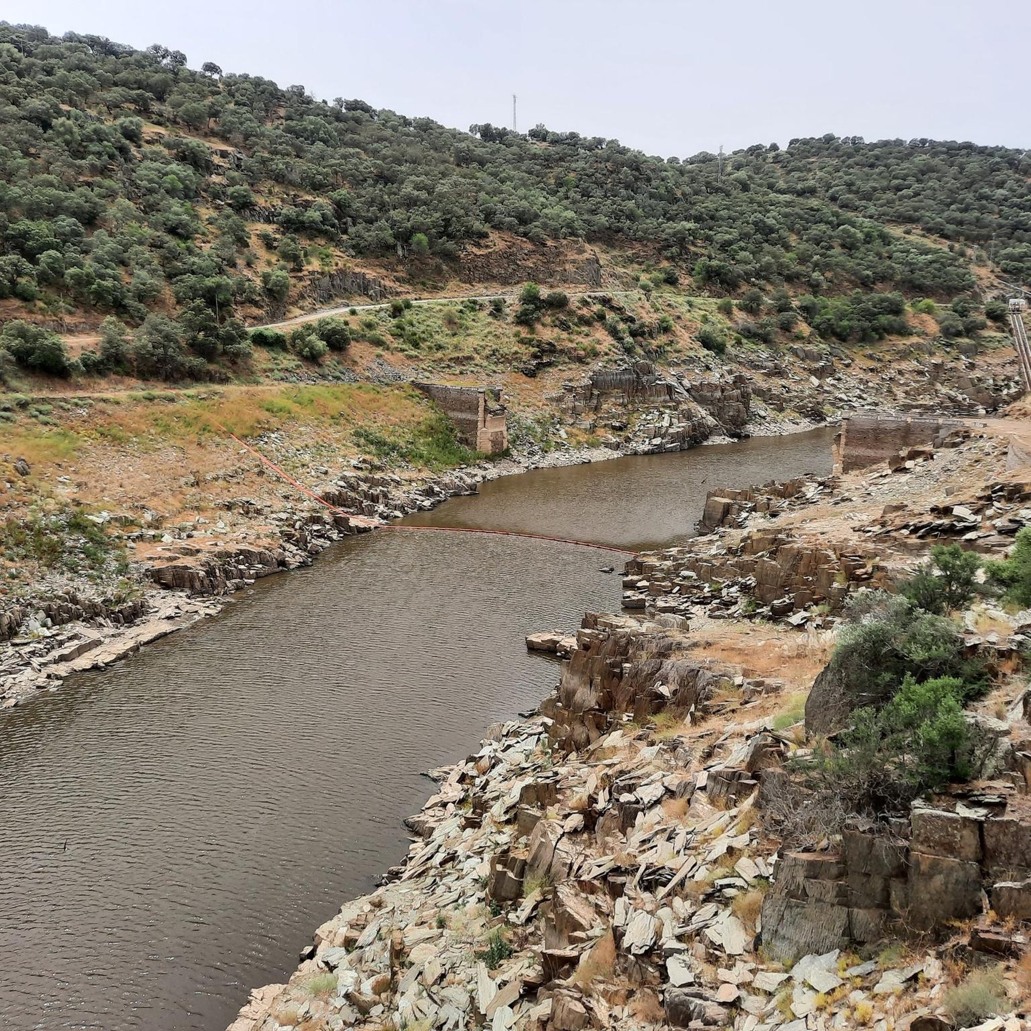
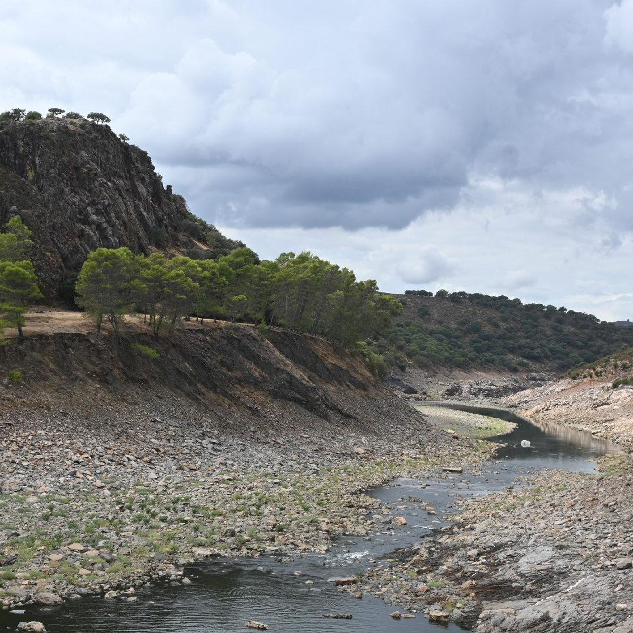


Tips from the Community

The highlight of Monfrague and lots of birds, especially in the afternoon when the thermals are optimal.
0
0
CENTRAL point where the 2 large rivers meet, there is ample parking to admire the natural splendor.
10
1
You can write a story, but here it is enjoying pure nature !!
11
1

The climb to the Castello is worth it. You will be rewarded with a wonderful panoramic view.
0
0
Ideal habitat and breeding ground for large birds.
1
1
Eagles, vultures and black storks can be seen particularly well here.
0
1

Villarreal de San Carlos is a district belonging to the town of Serradilla in the province of Cáceres, Autonomous Community of Extremadura, Spain. It was founded between 1758 and 1788 by Charles III as a permanent garrison to monitor the Monfragüe area, which at that time was devastated by banditry.
2
0

Like a monument to agriculture, the enormous grain silo stands on the fertile plains surrounding Torrejón el Rubio.
1
1
Frequently Asked Questions
What kind of terrain can I expect on road cycling routes around Monroy?
The road cycling routes around Monroy feature varied terrain, including rolling hills and open stretches. You'll find paths near natural features like Peña Falcón and the Embalse de Santa Ana, indicating areas with moderate elevation changes. Some routes also pass through open, agricultural, or semi-natural landscapes with solar fields.
How many road cycling routes are available in the Monroy area?
There are 7 road cycling routes available around Monroy, offering a range of options for different skill levels.
Are there routes suitable for beginners or those looking for an easier ride?
Yes, there are 2 easy road cycling routes around Monroy. One example is the Big Solar fields all along the way loop from Hinojal, which is about 33.6 km long and features a gentler elevation profile.
What is a popular moderate road cycling route near Monroy?
A popular moderate route is Torrejón el Rubio from Monroy — circular by the Embalse de Santa Ana. This 59.9 km trail takes approximately 2 hours 47 minutes to complete and circles the Embalse de Santa Ana.
Are there any challenging road cycling routes for experienced riders?
Yes, there is 1 difficult road cycling route in the Monroy area. For a more demanding ride, consider The Gypsy's Leap – Villarreal de San Carlos loop from Barco de Monfragüe, a 65.3 km path with significant elevation gain.
What do other road cyclists say about the routes in Monroy?
The routes in Monroy are highly rated by the komoot community, with an average score of 5.0 stars from over 4 reviews. Cyclists often appreciate the varied terrain and the scenic views, particularly those near the Embalse de Santa Ana and towards Villarreal de San Carlos.
Can I find circular road cycling routes around Monroy?
Yes, many routes in the area are circular. For instance, the Torrejón el Rubio from Monroy — circular by the Embalse de Santa Ana is a well-known circular option.
What are some notable landmarks or points of interest along the cycling routes?
While cycling, you might pass through or near settlements like Torrejón el Rubio and Serradilla. Natural features include the Garganta del Fraile waterfall and the El Alambique Viewpoint, offering scenic stops.
Are there routes that offer views of the Embalse de Santa Ana?
Yes, several routes provide views of the Embalse de Santa Ana. The Torrejón el Rubio from Monroy — circular by the Embalse de Santa Ana route specifically circles this reservoir.
What is the average distance and elevation gain for road cycling routes in this area?
The routes vary in length and elevation. For example, the The Gypsy's Leap – Villarreal de San Carlos loop from Torrejón el Rubio covers 44.5 km with an elevation gain of about 612 meters, while the Peña Falcón (Gypsy’s Leap) – The Gypsy's Leap loop from Torrejón el Rubio is 33.8 km with around 503 meters of ascent.
How many road cyclists have explored the Monroy area using komoot?
More than 140 road cyclists have used komoot to explore the varied terrain around Monroy, indicating a vibrant cycling community in the region.
Most popular attractions around Monroy

Get inspired with the komoot mobile app


Explore more
Browse the best Road cycling routes in other regions.
