The best mountain hikes around Lles De Cerdanya
43
hikers
8
hikes
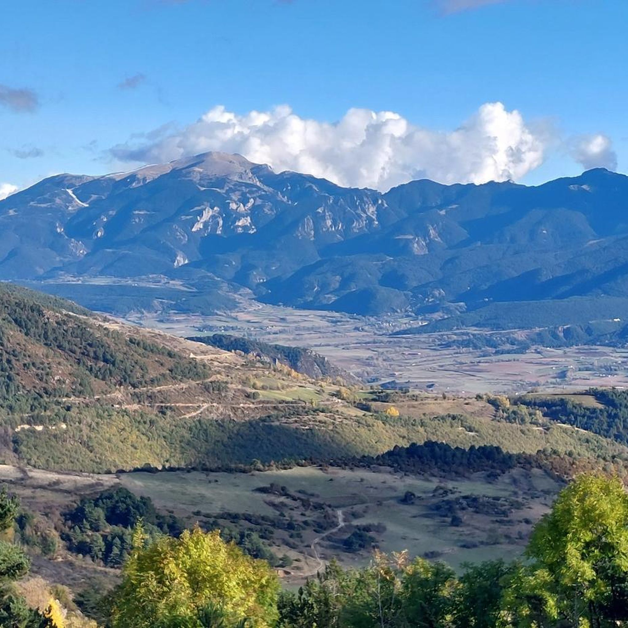
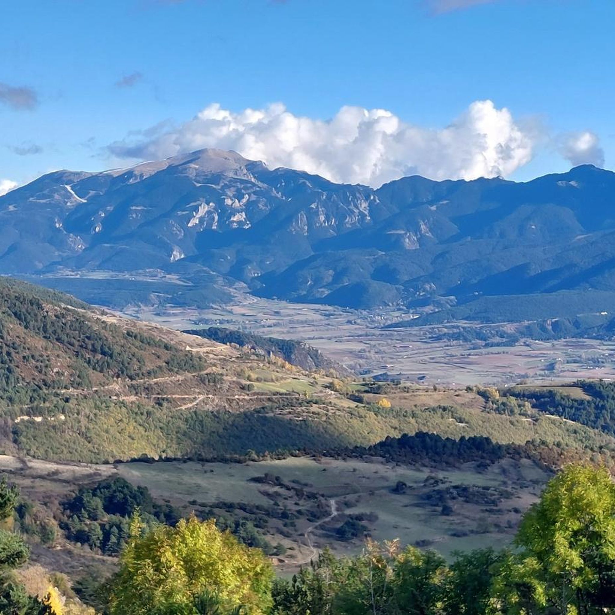
Mountaineering routes around Lles De Cerdanya traverse a high-altitude landscape characterized by rugged peaks, alpine passes, and glacial lakes within the Pyrenees. The region offers challenging ascents and descents across varied terrain, including rocky trails and open mountain expanses. Elevations typically range significantly, providing panoramic views of the surrounding mountain ranges.
Best mountaineering routes around Lles De Cerdanya
- The most popular mountaineering route is First Lake – Collada dels Pessons loop from Grau Roig, a 7.5 miles (12.0 km)…
Last updated: July 4, 2026
14
hikers
7.80km
03:13
630m
630m
Moderate mountaineering route. Good fitness required. Easily-accessible paths. Suitable for all skill levels.
9
hikers
12.0km
04:55
800m
800m
Moderate mountaineering route. Good fitness required. Mostly accessible paths. Sure-footedness required.

Sign up for free
7
hikers
17.4km
07:10
1,130m
1,130m
Hard mountaineering route. Very good fitness required. Mostly accessible paths. Sure-footedness required.
4
hikers
10.6km
04:48
710m
710m
Moderate mountaineering route. Good fitness required. Mostly accessible paths. Sure-footedness required.
4
hikers
Hard mountaineering route. Very good fitness required. Sure-footedness, sturdy shoes and alpine experience required.
Get access to more routes and recommendations from other explorers.
Sign up for free
Already have an account?
Our route recommendations are based on thousands of hikes, rides, and runs completed by other people on komoot.
Start today with a free account
Your next adventure awaits.
Login or Signup
Popular around Lles De Cerdanya
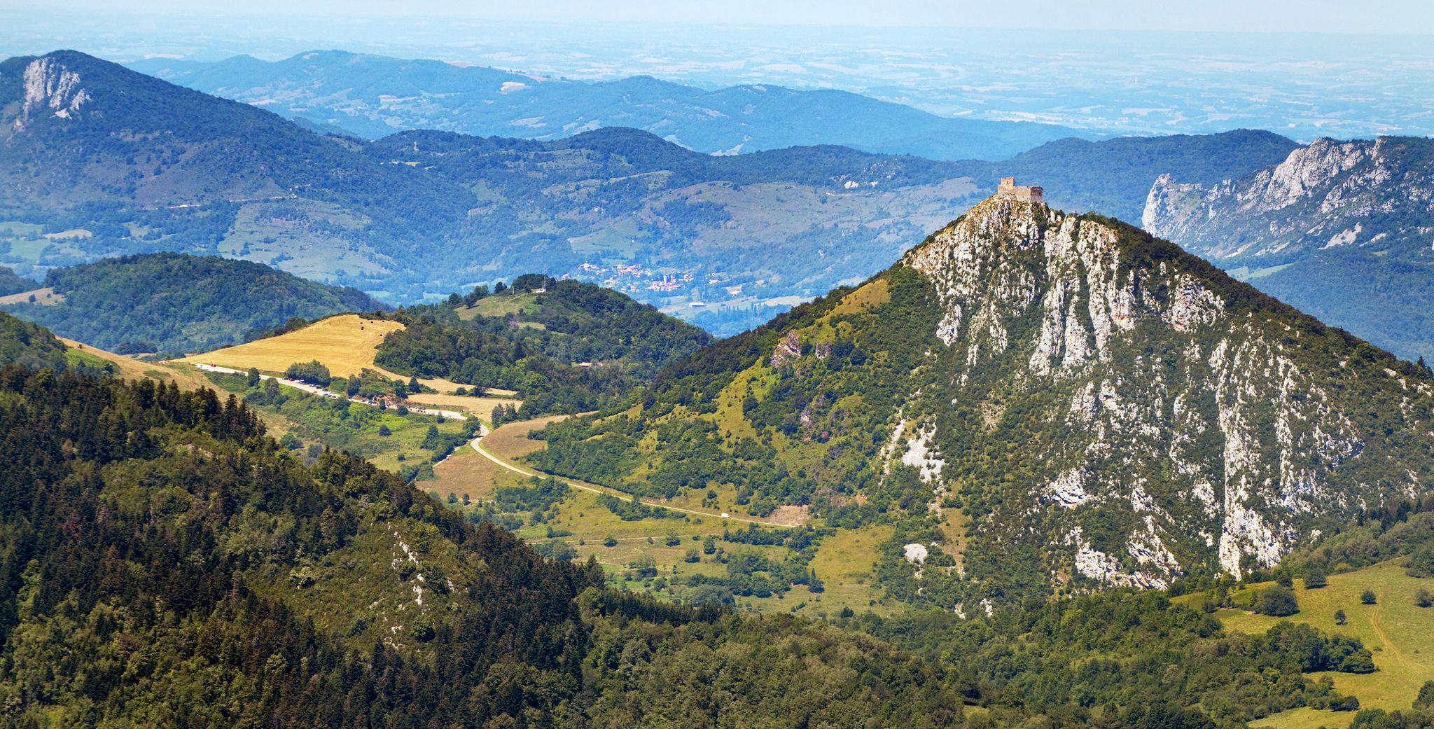
Cathar Route from Catalonia to France – Bons Homes Path (GR 107)
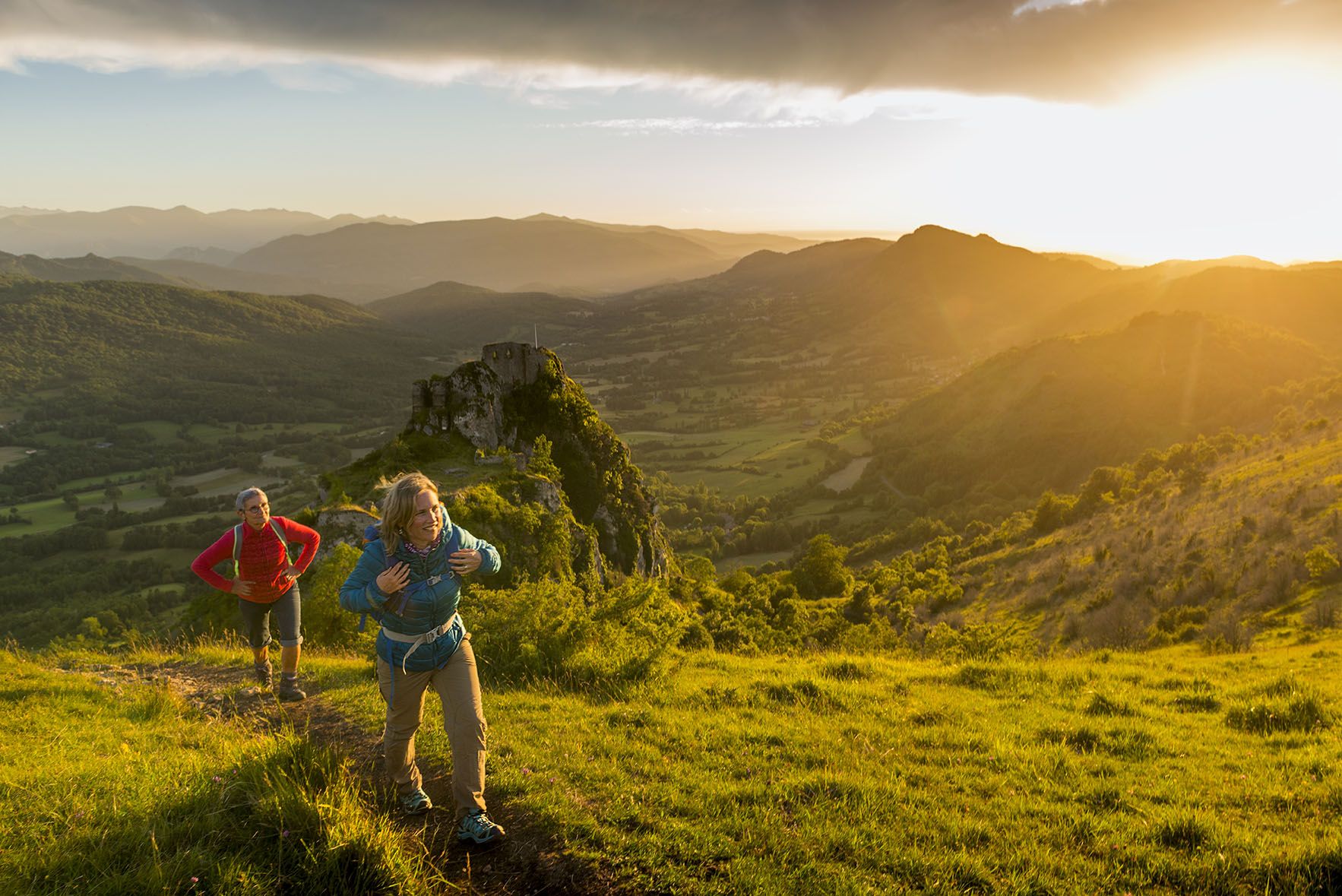
The chemin des Bonshommes — a journey between France and Spain
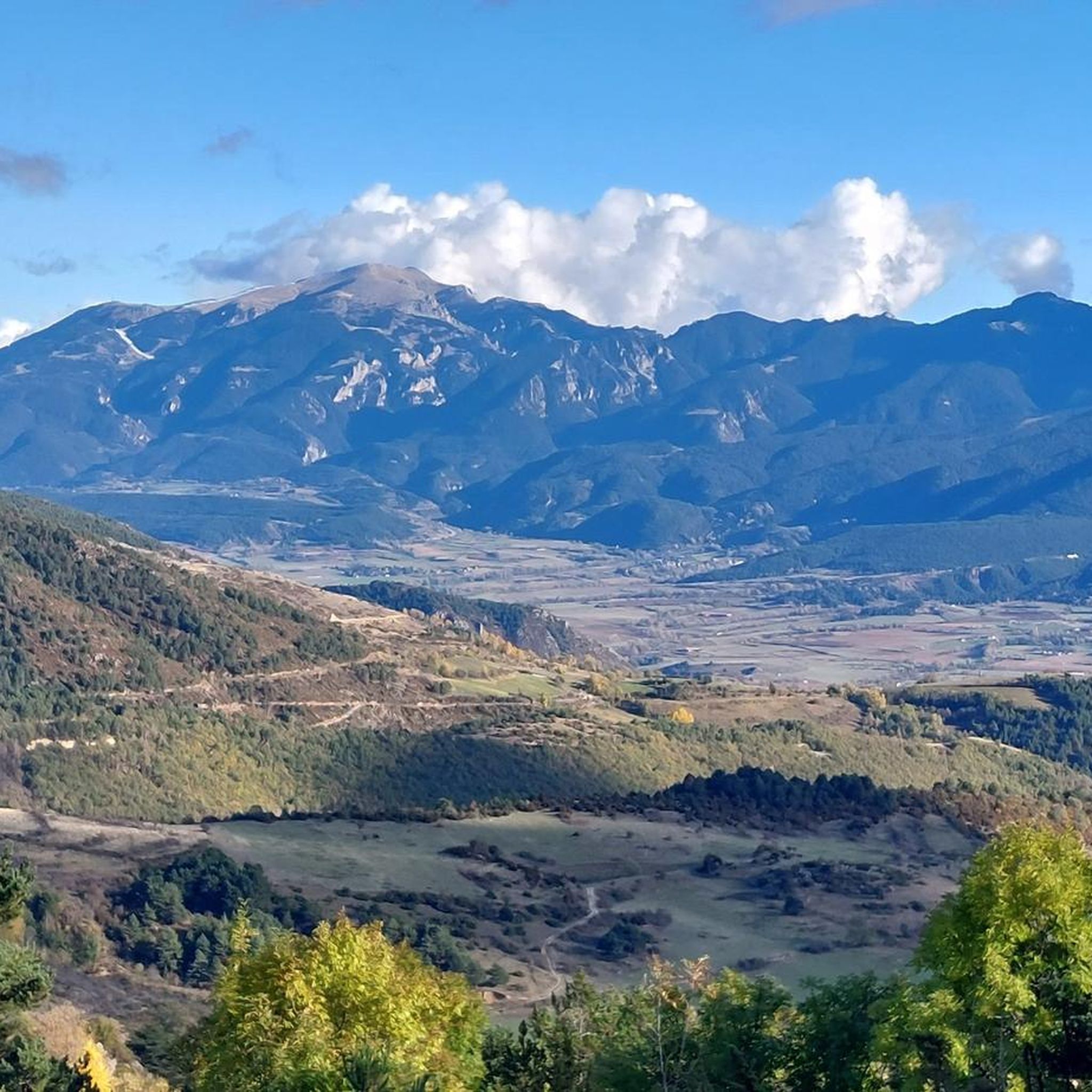
Hiking around Lles De Cerdanya
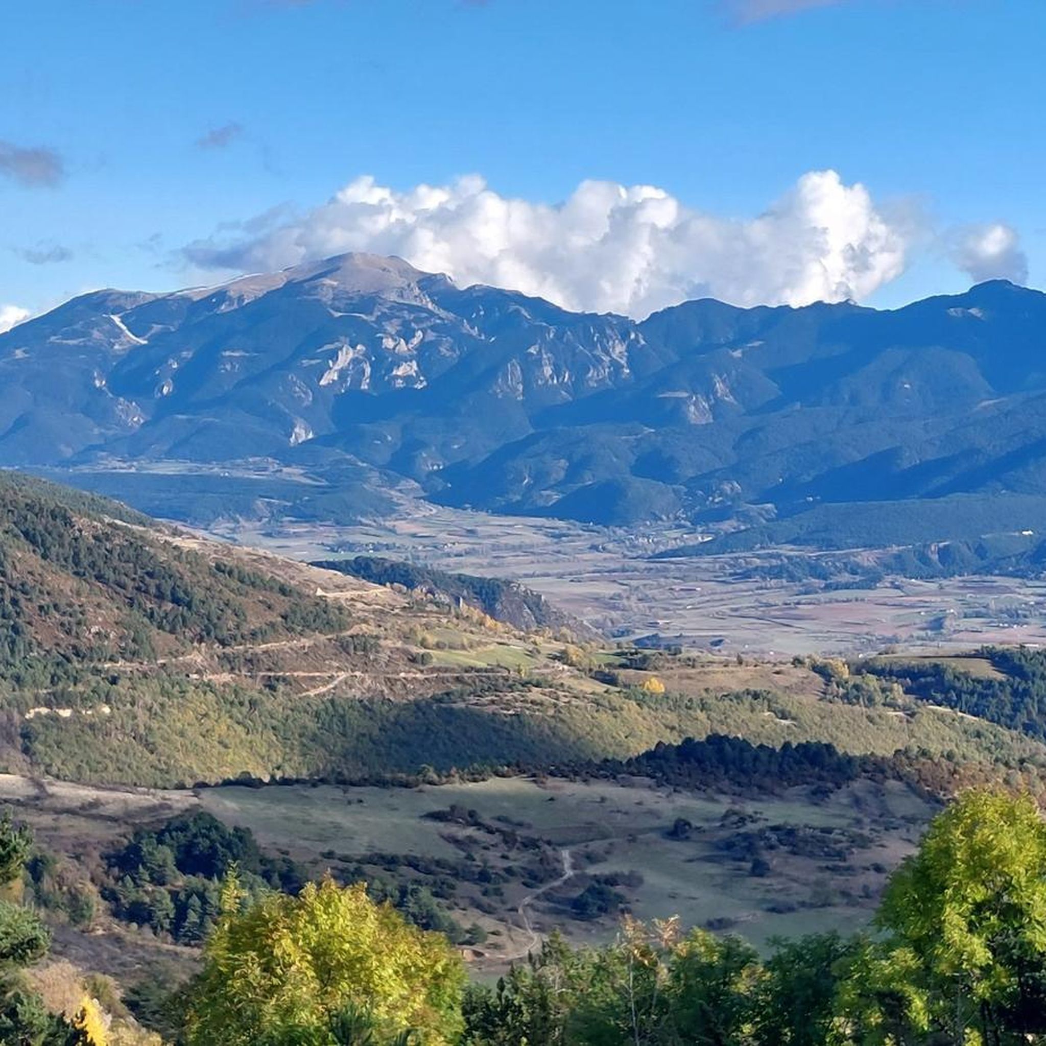
MTB Trails around Lles De Cerdanya
Cycling around Lles De Cerdanya
Road Cycling Routes around Lles De Cerdanya
Running Trails around Lles De Cerdanya
Gravel biking around Lles De Cerdanya


Tips from the Community

After the ascent from the ski stations in the valley of the first of many lakes on this circular hike
1
0

only for experienced hikers Sure-footedness absolutely required fantastic view from the top in good weather not overcrowded
0
0

A free mountain refuge nestled among black pine forests and high meadows, with sweeping views of the Segre Valley. It's a peaceful spot, ideal for sheltering from the wind or taking a break on routes that connect to Cap del Rec or Tossa Plana. The surroundings retain the pure silence of the upper Cerdanya region. By mountain bike, the final approach is via a stony track with a slight incline; it's advisable to lower the saddle and maintain control on the subsequent descent, as ruts and loose stones can be treacherous if you're riding too fast.
0
0
Located at an altitude of 1,960 meters, this refuge is a key point for cyclists and hikers heading towards the Tossa Plana de Lles or the Nordic ski slopes. The refuge combines a mountain atmosphere with comfortable amenities: a bar, a dining room, and a terrace with open views of the Cadí mountain range. It's a good place to stop, have a hot meal, or adjust your bike before continuing the climb. For mountain biking, the track from Lles has an uneven surface and rocky sections; tires with good grip are recommended, as is maintaining a constant cadence, especially on the final bends where the gradient is noticeable.
0
0

There is a bar and restaurant next to the lake. Perfect for a stop.
1
0

A very spectacular summit! I started at the Refugi de l'Illa. A steep but not difficult climb. Good balance is required for the final section.
1
0
The lake is located in the heart of the Circ de Pessons, one of the largest glacial areas in Andorra. It is located at an altitude of approximately 2,300 metres above sea level, which places it in a high mountain environment surrounded by rugged peaks. It was formed during the last glaciation. The glacial cirque is a clear example of the geological processes that have shaped the Pyrenees over thousands of years.
2
0

Magnificent landscape, beautiful mountain flowers and beautiful trails, if you stay off the slopes.
0
0
Frequently Asked Questions
What are the typical difficulty levels for mountaineering routes around Lles De Cerdanya?
The mountaineering routes in Lles De Cerdanya primarily range from moderate to difficult. You'll find 6 moderate routes and 6 difficult routes, offering varied challenges across high mountain terrain. For example, the Montmalús – Collada de Montmalús loop from Grau Roig is a moderate option, while the First Lake – Collada dels Pessons loop from Grau Roig presents a difficult challenge.
Are there any circular mountaineering routes available in Lles De Cerdanya?
Yes, many of the mountaineering routes in the Lles De Cerdanya area are designed as loops, allowing you to start and finish at the same point. Examples include the First Lake – Collada dels Pessons loop from Grau Roig, the Montmalús – Collada de Montmalús loop from Grau Roig, and the Coll de Jovell loop from Andorra la Vella.
What is the best time of year for mountaineering in Lles De Cerdanya?
The best time for mountaineering in Lles De Cerdanya is typically during the summer and early autumn months (June to September) when the snow has largely melted from higher elevations, and the weather is generally more stable. Always check local weather forecasts and trail conditions before heading out, as mountain weather can change rapidly.
Are there any family-friendly mountaineering routes in the Lles De Cerdanya region?
While true mountaineering routes often involve significant elevation and rugged terrain, some of the moderate options might be suitable for families with older, experienced children. The Montmalús – Collada de Montmalús loop from Grau Roig, for instance, is a moderate 4.8-mile route that offers a balanced challenge with scenic views.
What kind of parking facilities are available for mountaineering trails near Lles De Cerdanya?
Parking availability varies by trailhead. For routes starting from areas like Grau Roig or near refuges such as Refugi del Cap del Rec, you can often find designated parking areas. For routes originating from towns like Andorra la Vella, public parking garages or street parking might be available. It's advisable to check specific trailhead information for parking details before your trip.
Are dogs allowed on mountaineering routes in Lles De Cerdanya?
Generally, dogs are permitted on many trails in the Pyrenees, but regulations can vary, especially within protected areas or national parks. It's always best to keep dogs on a leash to protect wildlife and ensure their safety on challenging terrain. Always check specific local guidelines or park rules for the route you plan to undertake.
What are some notable landmarks or attractions I might see along mountaineering routes in Lles De Cerdanya?
The region is rich in natural beauty and historical sites. Depending on your chosen route, you might encounter stunning natural features like the Pessons Cirque or the expansive Madriu-Perafita-Claror Valley. Some routes may also offer views of significant mountain passes like Puymorens Pass.
How long do mountaineering routes around Lles De Cerdanya typically take to complete?
The duration of mountaineering routes in Lles De Cerdanya varies significantly based on distance, elevation gain, and difficulty. Routes can range from approximately 3.5 hours for shorter, more direct paths like the Coll de Jovell loop from Andorra la Vella (7.1 km) to over 6 hours for longer, more demanding ascents such as the Tossa Plana de Lles – Tosseta de Vallcivera loop from Refugi del Cap del Rec (16.9 km).
Are there any hidden gem mountaineering routes in Lles De Cerdanya that are less frequented?
While specific 'hidden gems' are often discovered through local knowledge, routes like the COMABONA loop from Refugi Prat d'Aguiló offer a challenging and rewarding experience away from the most popular trails. Exploring routes that start from more remote refuges can often lead to quieter, equally spectacular mountain experiences.
What do other mountaineers say about the routes in Lles De Cerdanya?
The mountaineering routes in Lles De Cerdanya are highly regarded by the komoot community, holding an average rating of 5.0 stars from over 2 reviews. Mountaineers frequently praise the challenging ascents, the stunning panoramic views of the Pyrenees, and the sense of accomplishment gained from traversing the rugged high-altitude landscape.
Are permits required for mountaineering in the Lles De Cerdanya area?
For general mountaineering routes in the Lles De Cerdanya region, specific permits are typically not required for day hikes. However, if your route enters a designated natural park or involves overnight stays in refuges, it's always wise to check for any specific regulations or booking requirements in advance, especially during peak season.
What should I wear for winter mountaineering in Lles De Cerdanya?
Winter mountaineering in Lles De Cerdanya demands appropriate gear due to harsh conditions. Essential items include multiple layers of warm, moisture-wicking clothing, a waterproof and windproof outer shell, insulated gloves, a warm hat, and sturdy waterproof boots compatible with crampons. Depending on conditions, crampons, an ice axe, and snowshoes may also be necessary. Always check the forecast and avalanche risk before heading out.
Are there opportunities for wild swimming near mountaineering trails in Lles De Cerdanya?
The high-altitude landscape of Lles De Cerdanya, being part of the Pyrenees, features numerous glacial lakes and mountain streams. While specific designated wild swimming spots might not be explicitly marked along mountaineering routes, many of these pristine alpine bodies of water offer opportunities for a refreshing dip, especially during warmer summer months. Always be mindful of water temperature and environmental regulations.
Most popular routes around Lles De Cerdanya
Most popular attractions around Lles De Cerdanya

Get inspired with the komoot mobile app


Explore more
Browse the best Mountain Hikes & Routes in other regions.
