The best walks and hikes around Navarredonda Y San Mamés
4.5
(318)
1,933
hikers
11
hikes
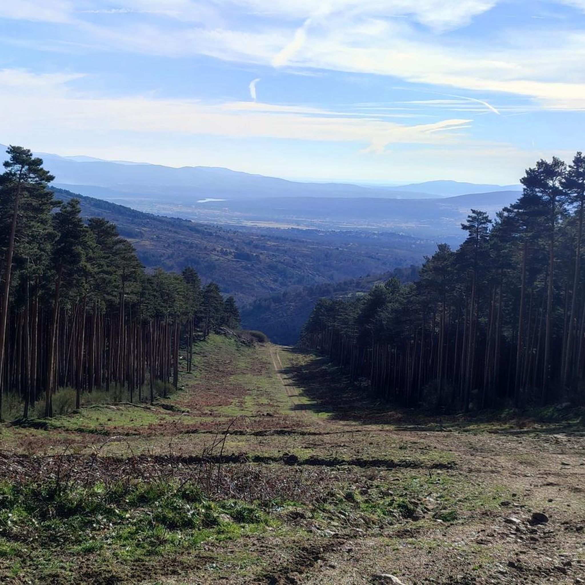
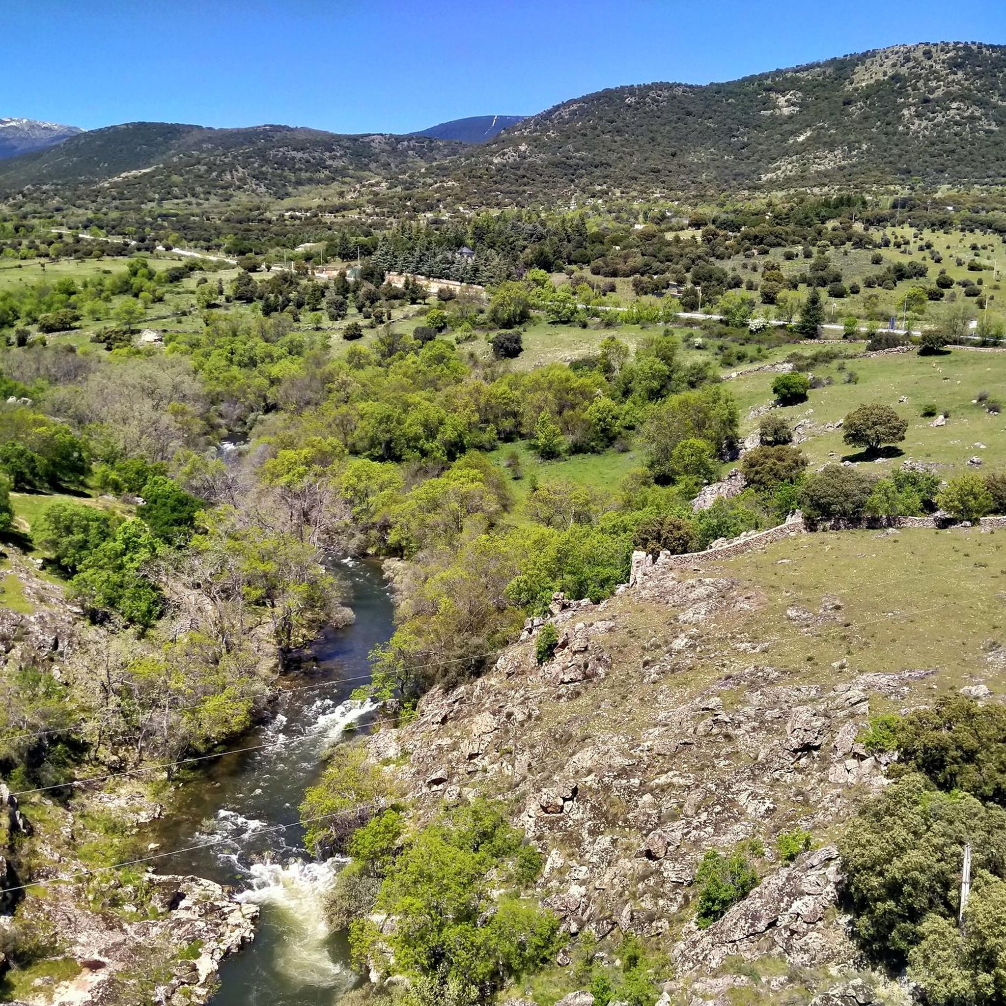
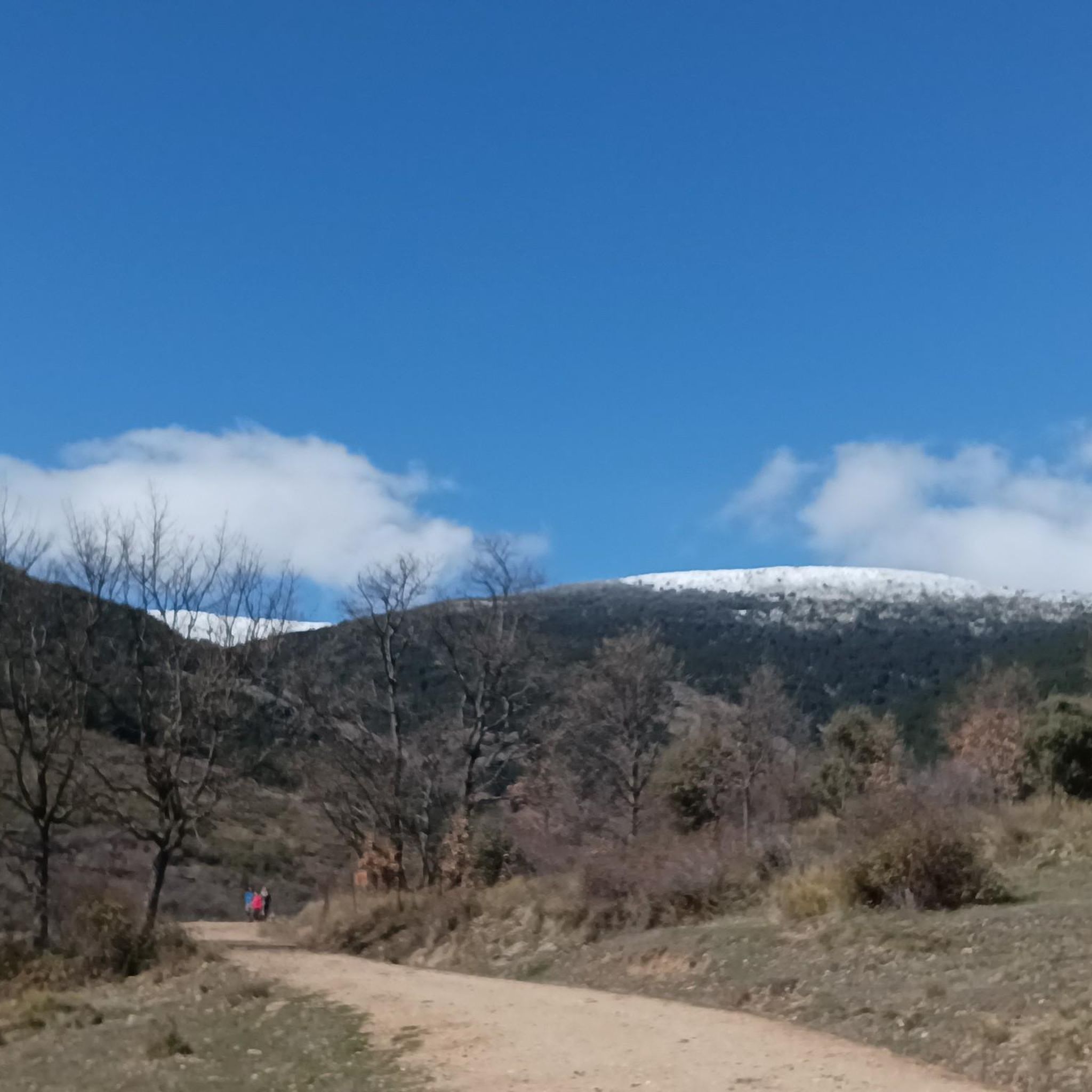
Hiking around Navarredonda Y San Mamés offers access to the diverse landscapes of the Sierra Norte de Madrid, largely within the Sierra de Guadarrama National Park. The region features high peaks, significant waterfalls, and scenic mountain passes. Expansive pine forests and high mountain grasslands characterize the terrain, providing varied environments for outdoor activities.
Best hiking trails around Navarredonda Y San Mamés
- The most popular hiking route is Chorrera de San Mamés – Navarredonda Spring loop from San Mamés, a…
Last updated: August 25, 2026
4.9
(21)
96
hikers
9.47km
02:58
290m
290m
Moderate hike. Good fitness required. Mostly accessible paths. Sure-footedness required.
4.3
(16)
110
hikers
7.64km
02:25
290m
290m
Moderate hike. Good fitness required. Mostly accessible paths. Sure-footedness required.

Sign up for free
4.9
(10)
47
hikers
Moderate hike. Good fitness required. Mostly accessible paths. Sure-footedness required.
13
hikers
Moderate hike. Good fitness required. Mostly accessible paths. Sure-footedness required.
5
hikers
4.91km
01:34
150m
150m
Moderate hike. Great for any fitness level. Mostly accessible paths. Sure-footedness required.
Get access to more routes and recommendations from other explorers.
Sign up for free
Already have an account?
Our route recommendations are based on thousands of hikes, rides, and runs completed by other people on komoot.
Start today with a free account
Your next adventure awaits.
Login or Signup

Tips from the Community

Non-cycling trail leading to the San Mamés waterfall.
0
0

Good place to cool off in summer.
0
0

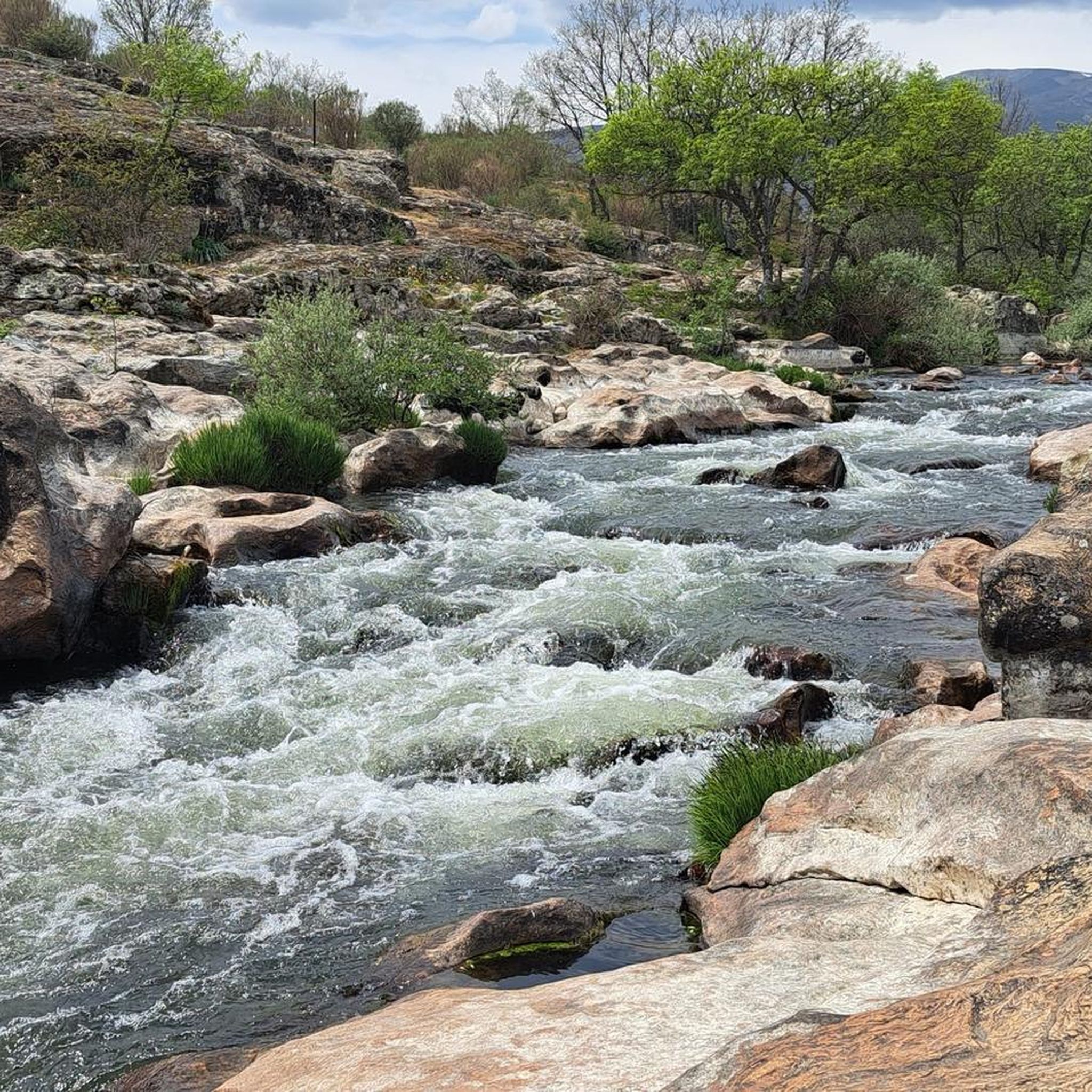
Nice waterfall that deserves to visit. You can get there by several alternative paths, some longer than others but all with a good surface and easy to travel. A recommended place at all times of the year, although spring and autumn are ideal for the colorful landscape.
4
0

Recommended, although not for the height of summer, since the first and last parts do not have any shade. It is not an excessively complicated or long route. And the views of the stream are worth it.
3
1

Next to a park this ancient fountain is the perfect place to rest
2
0
Frequently Asked Questions
How many hiking trails are available in Navarredonda y San Mamés?
There are over 100 hiking trails in Navarredonda y San Mamés, catering to various skill levels. You'll find approximately 20 easy routes, 70 moderate excursions, and 23 more challenging paths to explore the diverse landscapes of the Sierra Norte de Madrid.
Are there any easy hikes suitable for beginners or families?
Yes, the region offers around 20 easy routes perfect for beginners or families. While specific easy routes aren't detailed here, many trails provide gentle gradients and shorter distances, allowing everyone to enjoy the natural beauty. Look for routes with shorter distances and minimal elevation gain for a relaxed experience.
What natural attractions can I see along the hiking trails?
The trails in Navarredonda y San Mamés lead to several notable natural attractions. You can visit the impressive Chorrera de San Mamés waterfall, a prominent natural monument with a 32-meter drop. For panoramic views, consider routes that offer glimpses of Nevero Peak or Puerto de Linera, providing vistas of the Lozoya Valley and surrounding mountain ranges.
Are there any circular walks in Navarredonda y San Mamés?
Yes, many routes in the area are circular, allowing you to start and end at the same point. For example, the Chorrera de San Mamés – Navarredonda Spring loop from San Mamés is a moderate 9.5 km circular trail that takes about 3 hours to complete, exploring the area around the waterfall.
What do other hikers enjoy most about the trails here?
The trails in Navarredonda y San Mamés are highly rated by the komoot community, with an average score of 4.6 stars from over 300 reviews. Hikers often praise the diverse landscapes, from high peaks and waterfalls to expansive pine forests, and the well-maintained paths that offer options for various skill levels.
Can I hike to a waterfall in the region?
Absolutely! The Chorrera de San Mamés is a major highlight. You can take the Chorrera de San Mamés loop from San Mamés, a moderate 7.6 km path, to experience this impressive waterfall and its surrounding natural features.
Are there any routes that offer expansive viewpoints?
Yes, the region is known for its stunning viewpoints. While hiking, you can reach spots that offer breathtaking panoramic vistas of the Lozoya Valley, the Cuerda Larga, and the majestic Peñalara massif. Nevero Peak and Puerto de Linera are specific highlights known for their expansive views.
What is the best time of year to go hiking in Navarredonda y San Mamés?
Navarredonda y San Mamés offers great hiking opportunities throughout the year. Spring and autumn are particularly pleasant, with mild temperatures and vibrant colors. Autumn is especially magical in areas like the Hayedo de Montejo, known for its ancient beech trees. Summer is ideal for higher altitude trails, while winter transforms the Sierra de Guadarrama into a snowy landscape, suitable for those equipped for winter conditions.
Are there any longer or more challenging trails for experienced hikers?
For experienced hikers seeking a challenge, there are 23 difficult routes available. These trails often involve greater distances and significant elevation changes, leading to high peaks and offering more strenuous excursions. An example of a longer moderate route is the Chorrera de San Mamés Trail – Chorrera de San Mamés loop from San Mamés, which is 11.5 km long.
What kind of landscapes can I expect to see while hiking?
You can expect a rich tapestry of landscapes. The region features high peaks, impressive waterfalls, and scenic mountain passes. You'll hike through expansive pine forests, high mountain grasslands, and potentially encounter the unique ancient beech trees of the Hayedo de Montejo, a UNESCO Biosphere Reserve, offering diverse and stunning natural scenery.
Are there any lakes or reservoirs accessible by trail?
Yes, the area includes several beautiful water features. You can find trails leading to or offering views of the Hoyos de Pinilla lake or the Riosequillo reservoir. The Pinilla Reservoir Viewpoint is also a notable spot to enjoy the water scenery.
How long do hikes typically take in this area?
Hike durations vary widely depending on the route's length and difficulty. For instance, a moderate 7.5 km loop like the Chorrera de San Mamés Trail – Chorrera de San Mamés loop from Navarredonda y San Mamés can take around 2 hours 29 minutes, while longer moderate trails might extend to nearly 4 hours. Always check the estimated duration for your chosen route.
Most popular routes around Navarredonda Y San Mamés
Most popular attractions around Navarredonda Y San Mamés

Get inspired with the komoot mobile app


Explore more
Browse the best Hikes in other regions.
