The best road cycling routes around Garganta De Los Montes
4.8
(62)
9,315
riders
64
rides
Road cycling routes around Garganta De Los Montes are characterized by varied terrain, featuring significant elevation changes and scenic mountain passes. The region includes reservoirs and forested valleys, providing diverse backdrops for road cyclists. Routes often navigate through rural landscapes and offer views of the surrounding natural environment, with options for both challenging climbs and more moderate rides. This area is part of the Sierra Norte of Madrid, offering popular road bike climbs and extensive pine forests.
Best road cycling…
Last updated: October 21, 2026
136
riders
86.6km
04:11
1,210m
1,200m
Hard road ride. Very good fitness required. Mostly well-paved surfaces and easy to ride.
5.0
(1)
52
riders
67.1km
03:39
1,200m
1,200m
Hard road ride. Very good fitness required. Mostly well-paved surfaces and easy to ride.

5.0
(2)
325
riders
64.0km
03:36
1,200m
1,190m
Hard road ride. Very good fitness required. Mostly well-paved surfaces and easy to ride.
5.0
(1)
46
riders
Moderate road ride. Good fitness required. Mostly well-paved surfaces and easy to ride.
50
riders
111km
06:00
1,950m
1,950m
Hard road ride. Very good fitness required. Mostly well-paved surfaces and easy to ride.
Get access to more routes and recommendations from other explorers.
Already have an account?
Our route recommendations are based on thousands of hikes, rides, and runs completed by other people on komoot.
Start today with a free account
Your next adventure awaits.
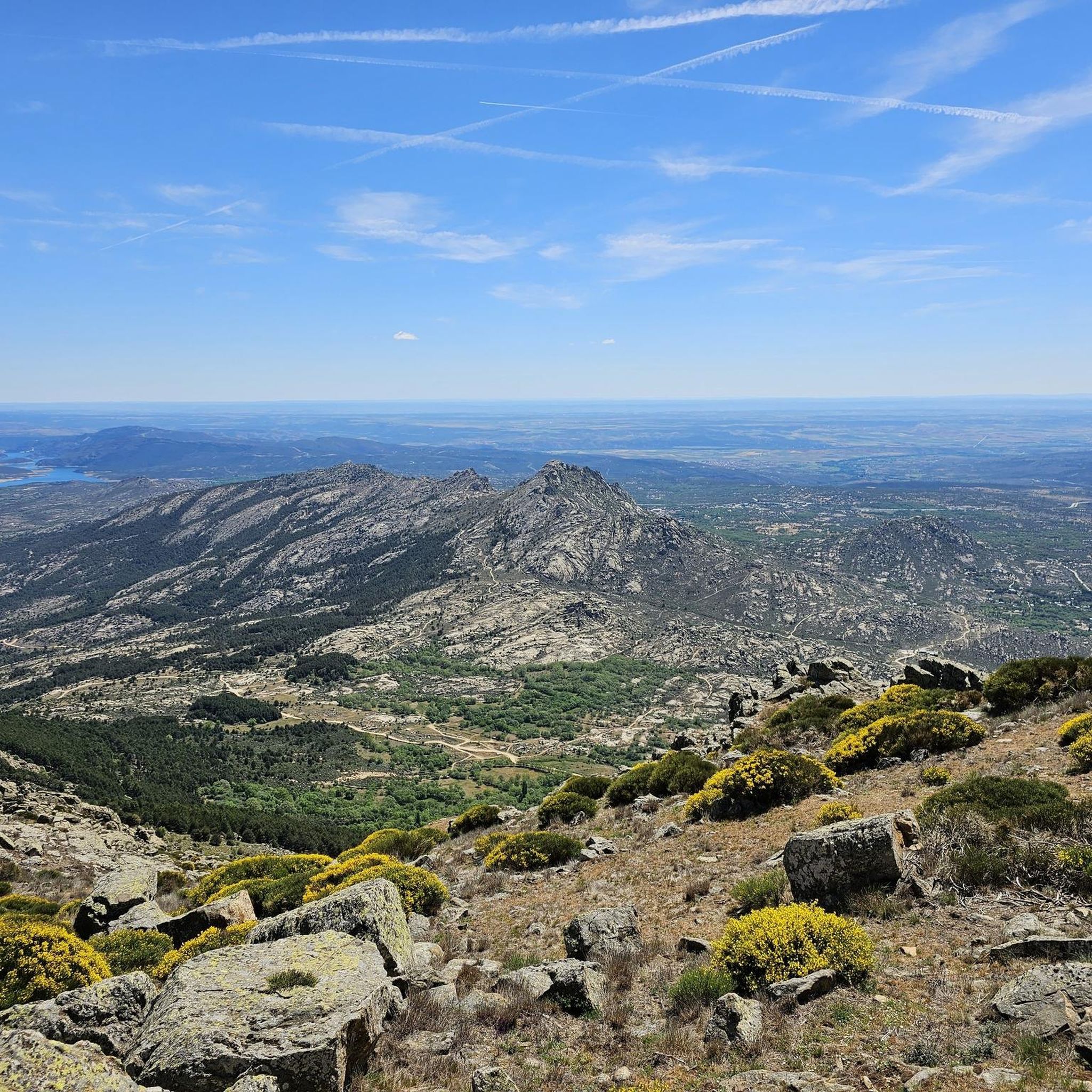
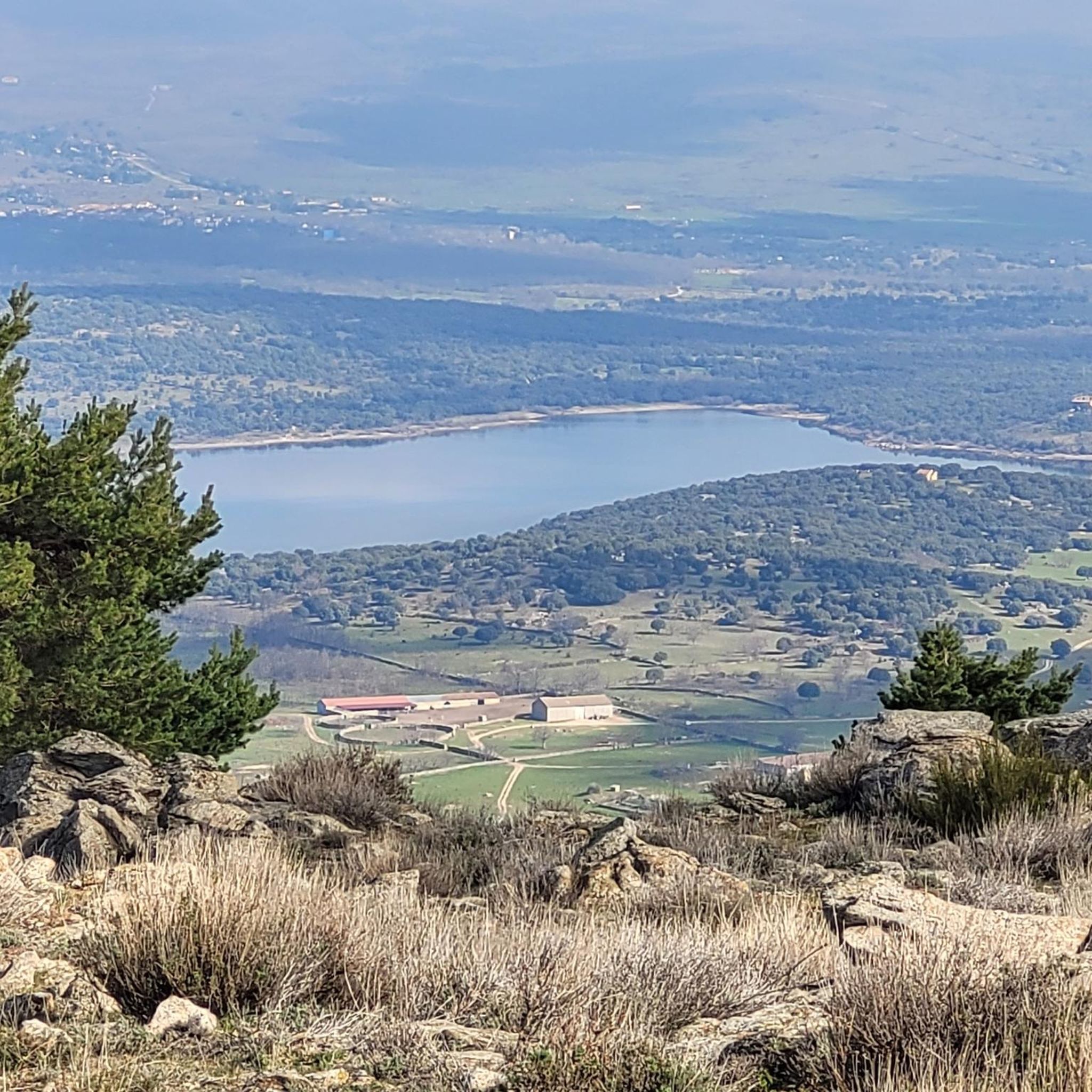

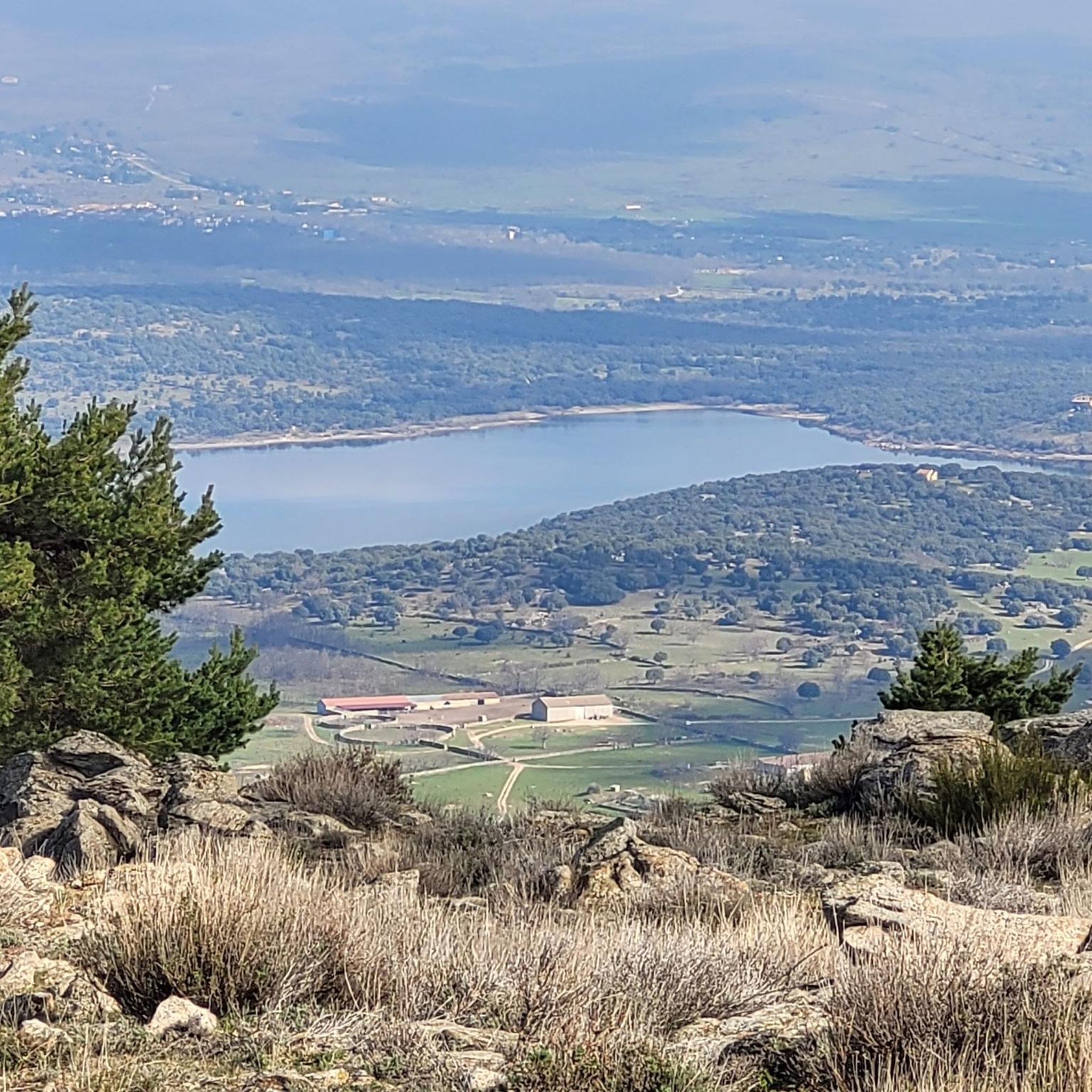
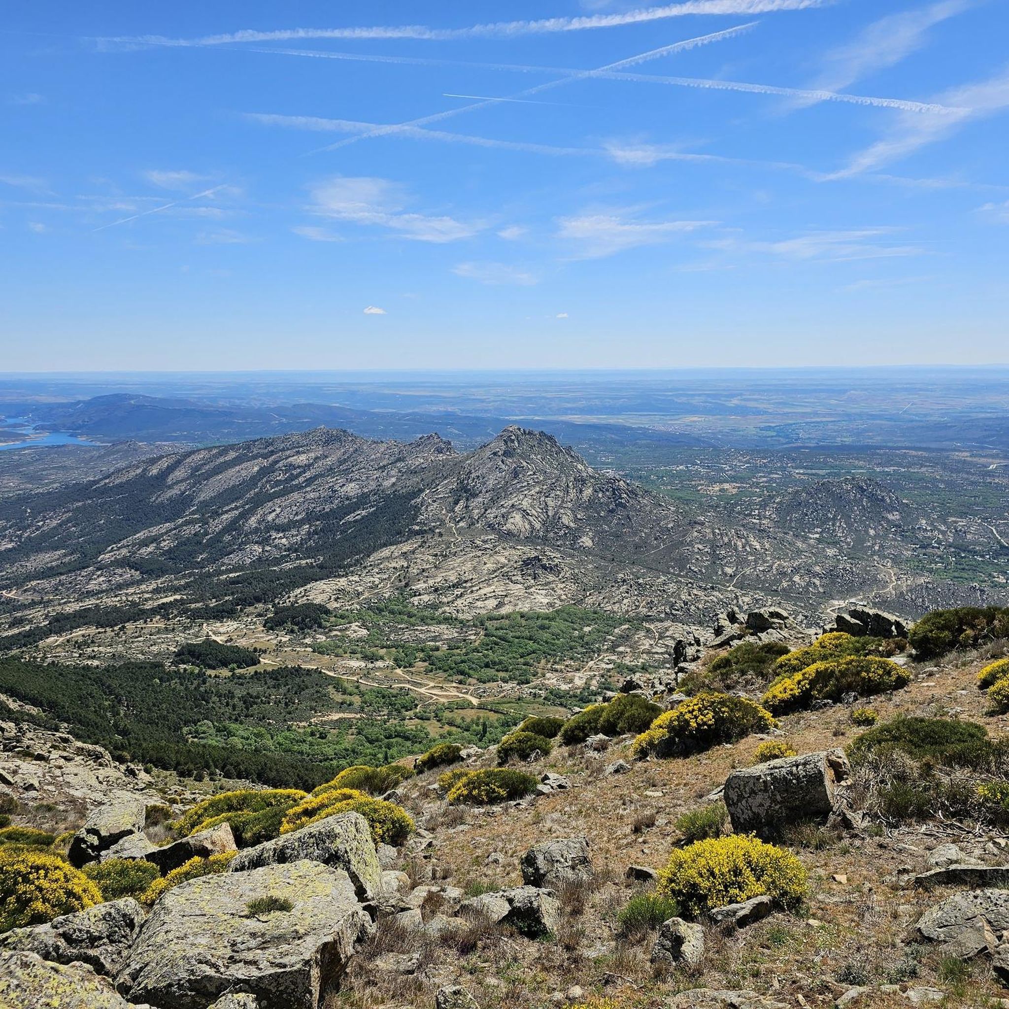
Tips from the Community

A very pleasant pass to climb up the Puebla de la Sierra side. To do this, you have to access it from Robledillo, with very steep ramps to warm up, and a few kilometers on a narrow and bumpy road. The views and the route are totally worth it. Avoid weekends, especially busy hours, as motorcycles, and especially cars, can spoil the party a bit, as I say, the road is very narrow. There is a fountain at the lowest point between Robledillo and Puebla, and another one when leaving Puebla de la Sierra. They are the only two points where you will be able to fill your bottles "for free".
0
0
Watch out for the asphalt on the descent, there are potholes and the surface is quite uneven. You won't even notice it on the climb.
0
0

The Castle and Walls of Buitrago del Lozoya, one of the most important medieval sites in the Community of Madrid: The town has pre-Roman roots and was mentioned by Livy as a Celtiberian fortress (Litabrum). Muslim Fortification: Between the 8th and 11th centuries, the Muslims built the wall to protect the territory. Reconquest: Alfonso VI conquered it in 1085, and it passed into Christian hands. Current Castle: Built in the 15th century by the Mendoza family, during the reign of John II of Castile. Historical Uses: Noble residence, defensive stronghold, and setting for events such as the imprisonment of Juana la Beltraneja.
3
0
The name comes from the stone boundary markers erected in the 18th century to demarcate lands acquired by Charles III for hunting. During the Spanish Civil War, it was a strategic area with a Republican detachment stationed there. It formerly housed the Valcotos ski resort, which no longer exists.
1
0

A beautiful town in the Sierra de Madrid, with particularly good water.
0
0

Prádena del Rincón is a charming village located in the Sierra Norte of Madrid, founded between the 11th and 12th centuries and historically linked to livestock farming. Strolling through its streets reveals traditional architecture surrounded by nature. Its monuments include the Romanesque-Mudejar church of Santo Domingo de Silos. The tranquility of the area and its rural trails invite you to a peaceful and contemplative getaway in the heart of the Sierra del Rincón. This is ideal for those seeking a genuine connection with nature and rural history, far from the hustle and bustle, with routes that allow you to explore ancient transhumance trails and enjoy the area's biodiversity.
0
0

Good, shady area, water in Rascafría and upstream, well paved. Too busy on weekends.
0
0
Frequently Asked Questions
How many road cycling routes are available around Garganta De Los Montes?
There are nearly 70 road cycling routes available around Garganta De Los Montes on komoot, offering a wide range of options for different skill levels.
Are there easy road cycling routes suitable for beginners in Garganta De Los Montes?
Yes, Garganta De Los Montes offers 5 easy road cycling routes. These are generally shorter and have less elevation gain, making them ideal for beginners or those looking for a more relaxed ride.
What are the typical distances and elevation gains for road cycling routes in this region?
Routes in Garganta De Los Montes vary significantly. Moderate routes, such as El Villar Reservoir and Gorge – El Villar Reservoir Dam loop from Buitrago del Lozoya, can be around 60 km with over 800 meters of elevation gain. More difficult routes, like Montejo de la Sierra – La Hiruela loop from Lozoyuela, can exceed 70 km with over 1300 meters of climbing.
Which routes offer the most scenic views in Garganta De Los Montes?
Many routes in the region offer stunning views, particularly those that traverse mountain passes or skirt reservoirs. For expansive vistas, consider routes that include the Canencia Pass or the Navafría Pass. The Pinilla Reservoir Viewpoint is also a popular spot for scenic breaks.
What kind of challenging climbs can advanced road cyclists expect?
Advanced cyclists will find plenty of challenging climbs, especially on routes that cross mountain passes. The region is known for significant elevation changes. Routes like Navafría Pass – Buitrago de Lozoya loop from Buitrago del Lozoya feature over 1200 meters of ascent over 68 km, providing a demanding experience.
What is the best season for road biking in Garganta De Los Montes?
The best seasons for road biking in Garganta De Los Montes are typically spring, summer, and early autumn. During these months, the weather is generally more favorable, and mountain passes are clear of snow, offering optimal conditions for exploring the varied terrain.
Are there loop routes available for road cycling in Garganta De Los Montes?
Yes, many of the road cycling routes in Garganta De Los Montes are designed as loops, allowing you to start and finish at the same point. Examples include Plaza de España, Rascafría – Cotos Pass loop from Estación Gargantilla-Lozoya and Pinilla Reservoir Viewpoint – Navafría Pass loop from El Tomillar.
What do other road cyclists enjoy most about road cycling in Garganta De Los Montes?
The komoot community highly rates road cycling in Garganta De Los Montes, with an average score of 4.7 stars from over 30 reviews. Cyclists often praise the diverse terrain, from challenging mountain passes to serene reservoir views, and the opportunity to explore rural landscapes.
What natural attractions can I see along the road cycling routes?
Road cycling routes often pass by significant natural attractions. You can encounter the Mojonavalle Forest, the impressive El Villar Reservoir and Gorge, and the ancient Yew of the Trail. Many routes also offer views of the El Atazar Reservoir.
Where can I find parking for road cycling routes in Garganta De Los Montes?
While specific parking information for each route is not always detailed, many routes start from towns or villages like Buitrago del Lozoya or Lozoyuela, where public parking options are generally available. It's advisable to check local parking regulations upon arrival.
Are there any less crowded road cycling routes in the area?
To find potentially less crowded routes, consider exploring some of the moderate difficulty options that might be less frequented than the most popular challenging climbs. Using komoot's route planner to filter by difficulty and explore routes slightly off the main thoroughfares can help you discover quieter paths.
Most popular routes around Garganta De Los Montes
Most popular attractions around Garganta De Los Montes

Get inspired with the komoot mobile app


Explore more
Browse the best Road cycling routes in other regions.
