The best walks and hikes around Campo Lameiro
4.5
(366)
3,157
hikers
62
hikes
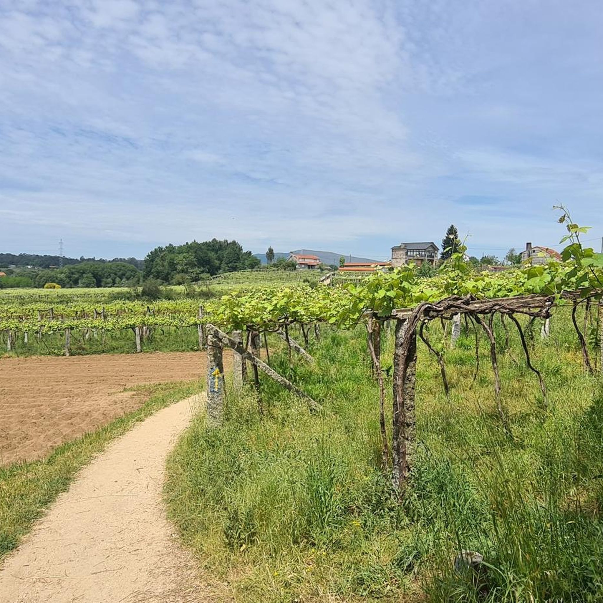
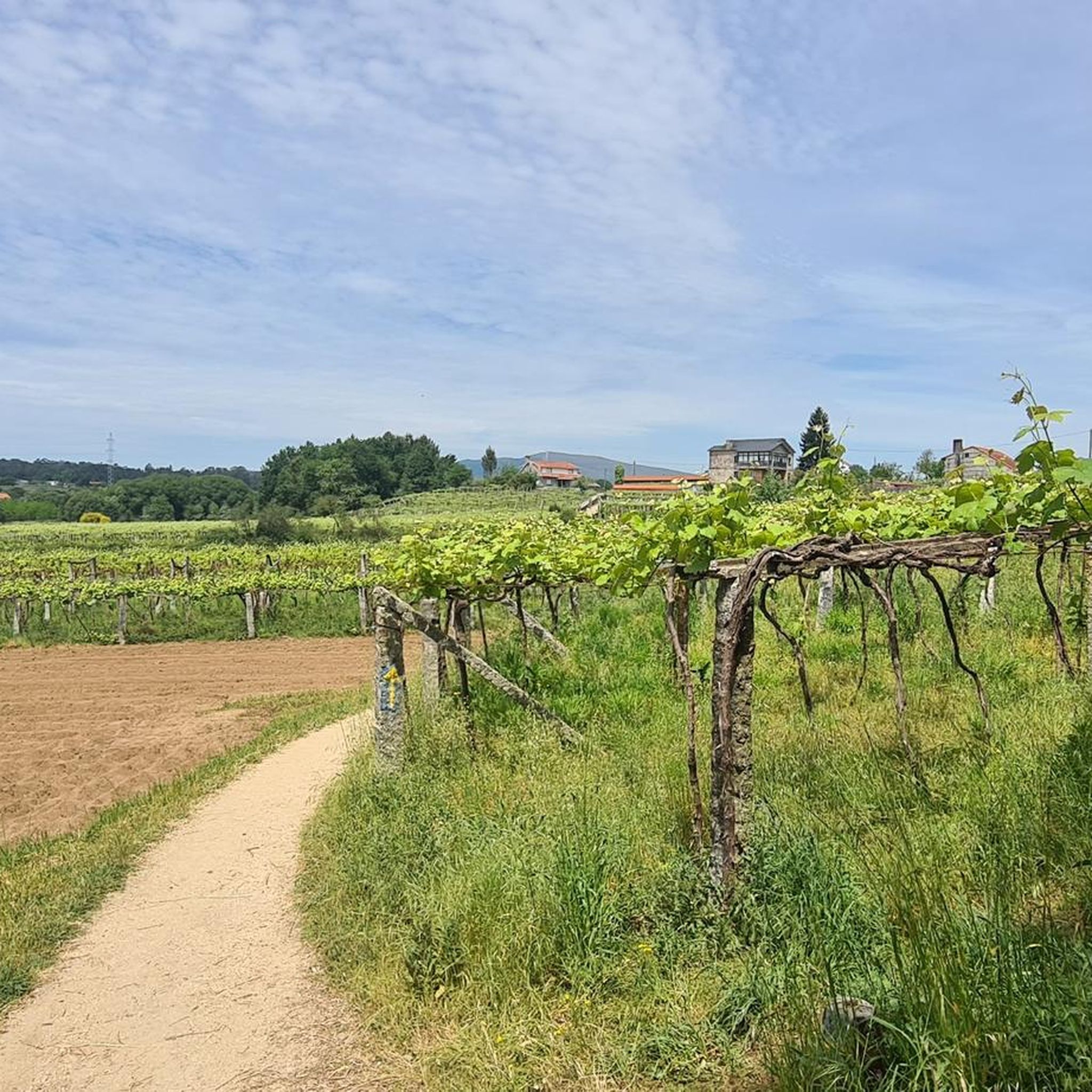
Hiking around Campo Lameiro offers diverse landscapes characterized by rivers, valleys, and pre-coastal mountains. The region features several rivers like the Lérez, Meneses, and Umia, which carve through the terrain, creating lush environments. Hikers can explore dense forests, oak groves, and prominent features such as the Sierra de Candó and Agüeiros mountain, providing varied elevation and panoramic views. This area is also notable for its significant archaeological heritage, including prehistoric rock art sites.
Best hiking trails around Campo Lameiro
- The…
Last updated: July 1, 2026
5.0
(1)
17
hikers
16.1km
04:50
490m
490m
Moderate hike. Good fitness required. Easily-accessible paths. Suitable for all skill levels.
4.0
(1)
2
hikers
21.8km
05:55
310m
310m
Hard hike. Very good fitness required. Mostly accessible paths. Sure-footedness required.

Sign up for free
3.0
(2)
4
hikers
10.8km
03:06
270m
270m
Moderate hike. Good fitness required. Easily-accessible paths. Suitable for all skill levels.
5.0
(1)
2
hikers
10.3km
03:17
430m
430m
Moderate hike. Good fitness required. Easily-accessible paths. Suitable for all skill levels.
3.0
(1)
2
hikers
Hard hike. Very good fitness required. Easily-accessible paths. Suitable for all skill levels.
Get access to more routes and recommendations from other explorers.
Sign up for free
Already have an account?
Our route recommendations are based on thousands of hikes, rides, and runs completed by other people on komoot.
Start today with a free account
Your next adventure awaits.
Login or Signup

Tips from the Community

Good area for a bike ride
0
0

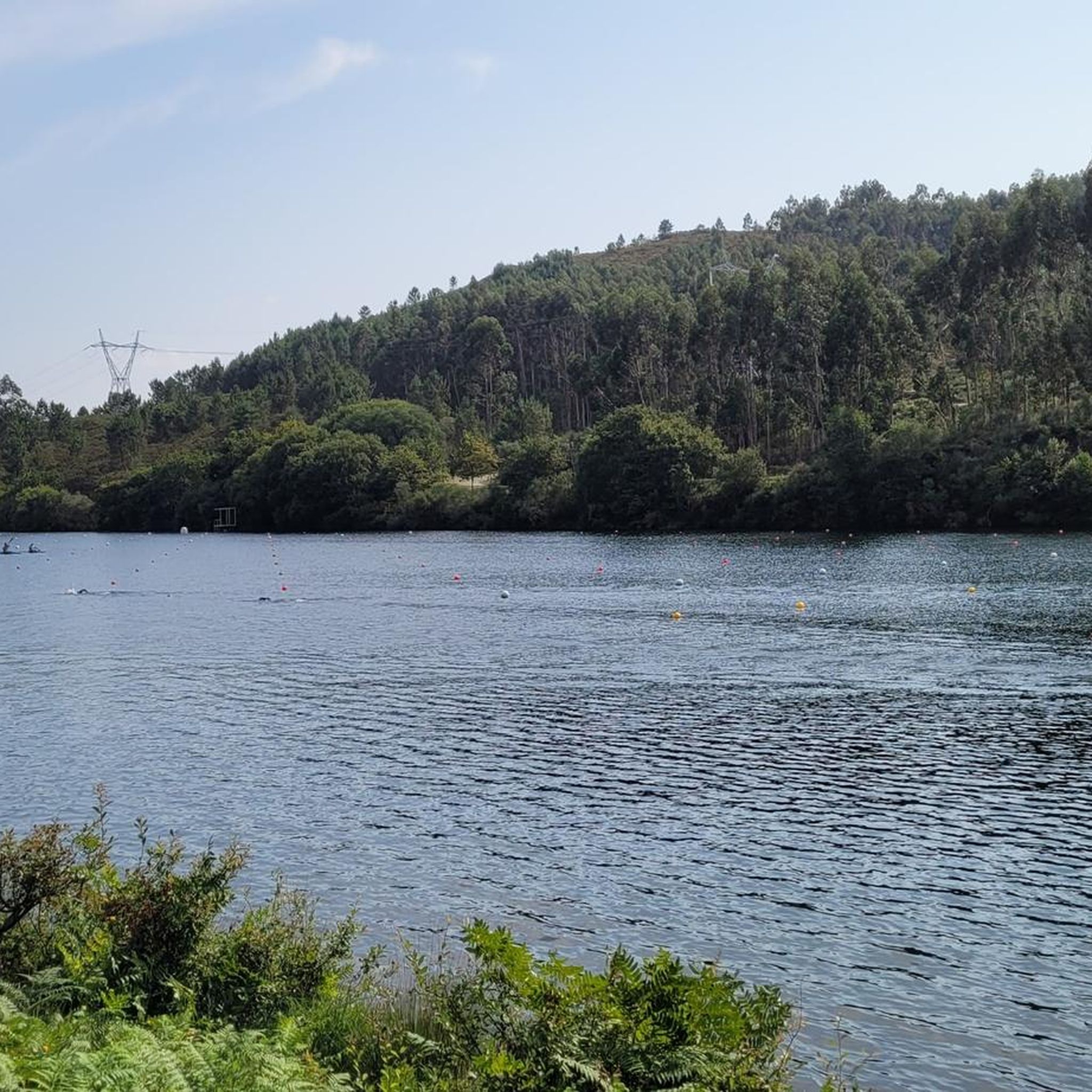
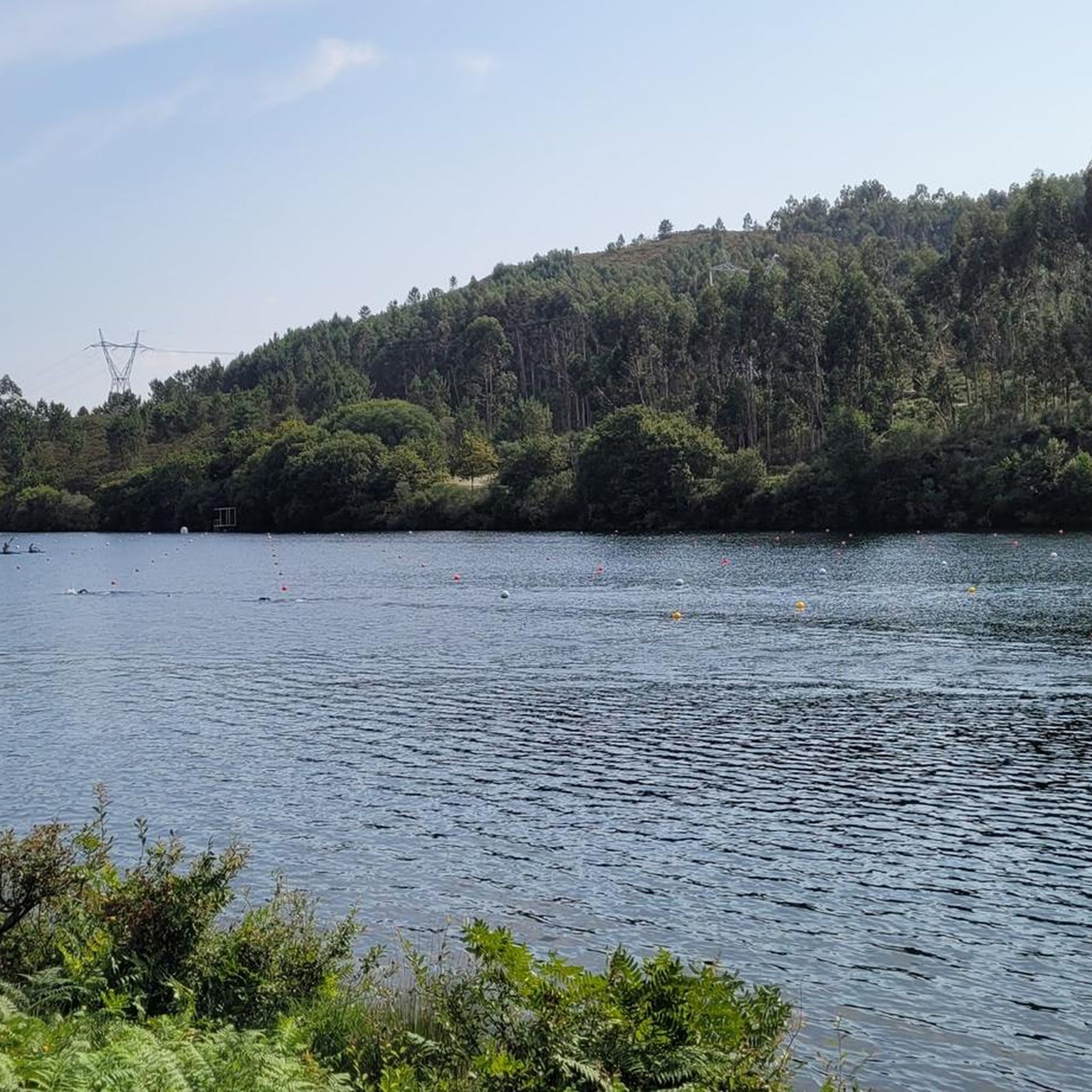
A beautiful walk through the Caldas Reservoir and the landscape of the Umia River. Explore the lush green forest and fertile fields that surround this aquatic landscape.
1
0
A magical stone bridge arched over the river landscape, surrounded by dense forests and cascading water around you.
0
0
As you ascend along the Almofrei River and into the foothills of the Sierra de Condo, you reach this old wolf trap, locally called 'Foxo do Lobo'. These holes were used to capture wolves that roamed these mountains and attacked local livestock.
0
0
El batho salvaje en Carballedo. The natural pool, which captures the waters of the Almofrei River, is a great place to cool off on a warm summer day.
0
0
The hike follows the foothills of the western slopes of the Sierra de Condo to reach Cavadosa and the waterfall of the same name. This beautiful spot is where the Seixo Route returns to Cerdedo.
1
0
Granite boulders typical of the Galician massif mark this important peak at the top of A Serra do Cando. Locals believe that the rocks sculpted by the passage of time and climate are the door to the afterlife.
1
0
At the foot of the Sierra de Condo, the small town of Cerdedo sits on an important mountain route that crosses between the province of Ourense and Pontevedra. The Church of San Xoán Bautista de Cerdedo symbolizes the strength of this community in the Lérez Valley
1
0
Frequently Asked Questions
How many hiking trails are available in Campo Lameiro?
Campo Lameiro offers a wide variety of hiking experiences, with over 60 trails recorded on komoot. These routes cater to different fitness levels, ranging from easy riverside strolls to more challenging mountain ascents.
Are there easy or family-friendly hiking options in Campo Lameiro?
Yes, Campo Lameiro has plenty of options for easier walks and family outings. Approximately 30 of the trails are rated as easy, often following riverbanks or exploring the Archaeological Park of Rock Art. These routes are generally shorter and have less elevation gain, making them suitable for a relaxed day out.
What kind of natural landscapes can I expect to see while hiking in Campo Lameiro?
Hikers in Campo Lameiro will discover diverse landscapes shaped by rivers like the Lérez, Meneses, and Umia, which create lush green valleys. The region also features dense forests, beautiful oak groves, and pre-coastal mountains such as the Sierra de Candó and Agüeiros mountain, offering varied terrain and panoramic views.
Are there any trails that feature waterfalls?
Yes, the region is home to natural wonders like the Cascada de Cavadosa. You can experience this on the Cascada de Cavadosa from Cerdedo — circular by the río Seixo route, which follows the río Seixo to this beautiful waterfall.
What historical or archaeological sites can I explore on a hike?
Campo Lameiro is renowned for its rich archaeological heritage. A central highlight is the Archaeological Park of Rock Art (PAAR), featuring one of Europe's most significant collections of prehistoric petroglyphs. You can embark on a walking route within the park to discover ancient carvings and visit an interpretive center and recreated Bronze Age village. Additionally, some trails pass by ancient mills, historic bridges like the Almofrei Stone Bridge, and even an ancient wolf trap, as seen on the Foxo do Lobo desde Carballedo — circular por el río Almofrei route.
Are there any circular hiking routes in Campo Lameiro?
Many of the hiking routes in Campo Lameiro are circular, offering varied scenery without retracing your steps. Examples include the Cerdedo — circular by the Sendero Frei Martin Sarmiento, which is a moderate 10.3 km loop, and the more challenging The viewpoint of the Tres Rías from Cerdedo — circular through the Sierra de Candó.
Where can I find panoramic views during my hike?
For expansive panoramic views, head to the mountainous areas. The Sierra de Candó and Agüeiros mountain are prominent features that offer impressive vistas. The route to The viewpoint of the Tres Rías from Cerdedo is specifically designed to showcase these stunning outlooks.
What do other hikers say about the trails in Campo Lameiro?
The hiking routes in Campo Lameiro are highly regarded by the komoot community, holding an average rating of 4.5 stars from over 350 reviews. Hikers often praise the diverse landscapes, the well-maintained trails, and the unique blend of natural beauty with significant archaeological heritage.
Are there any challenging hikes for experienced trekkers?
Yes, for those seeking a greater challenge, Campo Lameiro offers several difficult routes. There are 10 such trails, including longer and more strenuous options like El Puente de Segade — circular by the Embalse de Caldas and río Umia, which is a 21.8 km hike through lush forests and fertile fields.
What kind of wildlife might I encounter on the trails?
The mountainous areas of Campo Lameiro are home to interesting fauna, including wild horses. While hiking, you might also spot various bird species and other local wildlife in the forests and along the river valleys.
Are there any recreational areas or places to relax along the routes?
Yes, along many of the routes, you can find recreational areas, restored flour mills, and charming stone and wooden bridges that add to the experience. The river beach of Redonde on the Lérez river also provides a tranquil spot for relaxation amidst nature.
Most popular routes around Campo Lameiro
Most popular attractions around Campo Lameiro

Get inspired with the komoot mobile app


Explore more
Browse the best Hikes in other regions.
